Flats Plantation

Wood, Forest in Northumberland

England

Flats Plantation

Infilled open cast mine
Infilled open cast mine Credit: N Chadwick

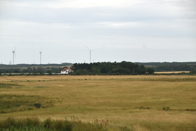
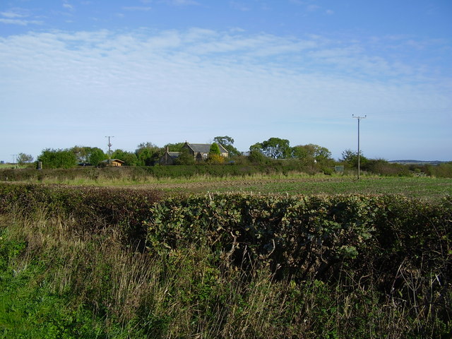
Flats Plantation is a stunning wooded area located in Northumberland, England. Situated in the heart of the county, it spans over a vast expanse of land, showcasing the natural beauty of the region. The plantation is renowned for its dense forest, consisting mainly of oak, beech, and birch trees, creating a captivating and serene atmosphere.

The woodland is home to a diverse range of flora and fauna, providing a haven for various plant species and wildlife. The forest floor is adorned with vibrant wildflowers, while the treetops offer a sanctuary for a variety of bird species including woodpeckers, owls, and jays. The plantation also supports a thriving population of mammals such as deer, foxes, and badgers, making it a popular spot for nature enthusiasts and photographers.

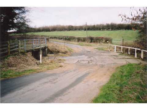
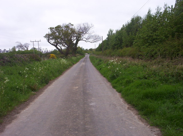
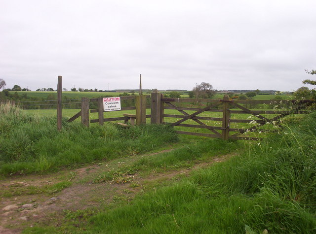
Flats Plantation offers a network of well-maintained walking trails, allowing visitors to explore the area's natural beauty at their own pace. These paths wind through the forest, providing breathtaking views and opportunities to spot wildlife along the way. The plantation also features picnic areas, making it an ideal destination for families and outdoor enthusiasts looking to enjoy a peaceful day out.

The plantation is managed by the local authorities, ensuring the preservation and conservation of this precious natural habitat. The area is open to the public year-round, with no admission fee, making it accessible to all. Flats Plantation truly offers a unique and captivating experience, allowing visitors to immerse themselves in the tranquility and beauty of Northumberland's woodlands.

If you have any feedback on the listing, please let us know in the comments section below.

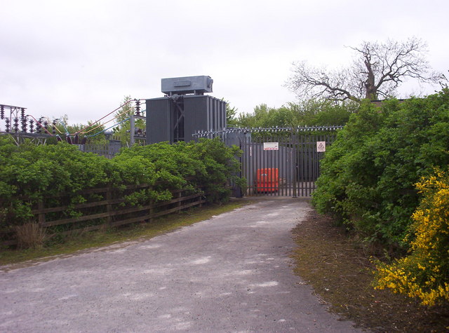
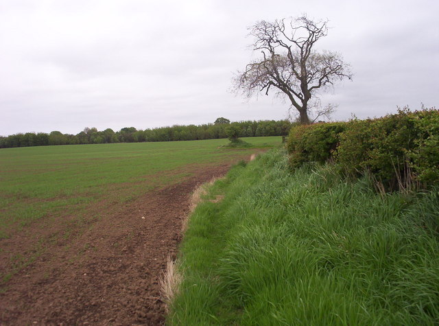
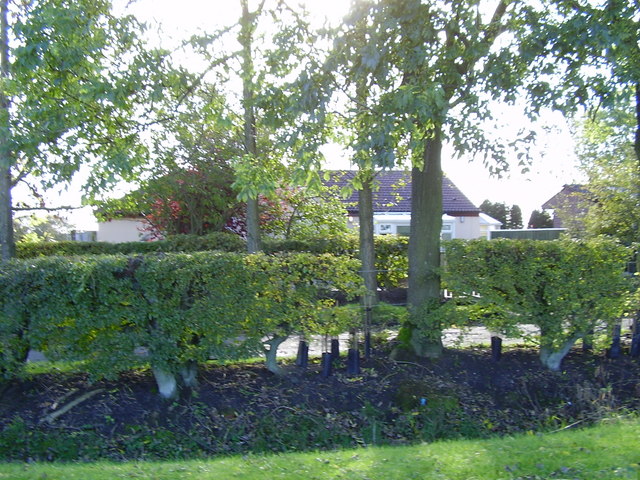
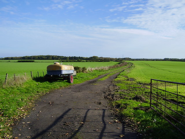
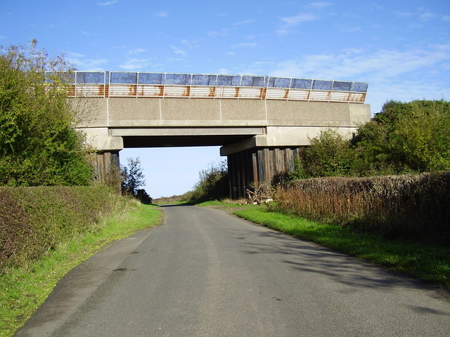
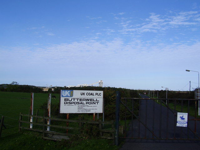
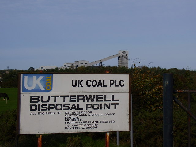
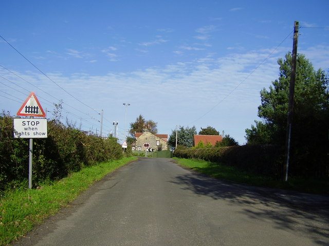
Flats Plantation Images

Images are sourced within 2km of 55.211059/-1.6311904 or Grid Reference NZ2390. Thanks to Geograph Open Source API. All images are credited.

Infilled open cast mine
Irish bridge, Ulgham This Irish bridge (culverted ford) takes the road over the River Lyne. It acquires proper ford status after heavy rain.
Irish bridge, Ulgham
This Irish bridge (culverted ford) takes the road over the River Lyne. It acquires proper ford status after heavy rain.
The Road to Ulgham Park Looking northwest up the road that leads to Ulgham Park.
The Road to Ulgham Park
Looking northwest up the road that leads to Ulgham Park.
Ulgham Grange Farm Converted farm buildings to the east of Ulgham village.
Ulgham Grange Farm
Converted farm buildings to the east of Ulgham village.
River Lyne Ford East of Ulgham, the River Lyne is crossed via this ford.
River Lyne Ford
East of Ulgham, the River Lyne is crossed via this ford.
Footbridge Over River Lyne A few metres upstream of the ford is this footbridge - which saves walkers getting their feet wet!
Footbridge Over River Lyne
A few metres upstream of the ford is this footbridge - which saves walkers getting their feet wet!
Moooooo! The stile that gives access to a public footpath across this field comes with a warning : "Caution: Cows with calves can be aggressive". Fortunately the field was entirely devoid of the bovine menace when I crossed it.
Moooooo!
The stile that gives access to a public footpath across this field comes with a warning : "Caution: Cows with calves can be aggressive". Fortunately the field was entirely devoid of the bovine menace when I crossed it.
Electric Transformers These large transformers supply electricity to a nearby surface coal mine.
Electric Transformers
These large transformers supply electricity to a nearby surface coal mine.
Public Footpath The strip of long grass next to the hedgerow on the right is in fact a designated public footpath.
Public Footpath
The strip of long grass next to the hedgerow on the right is in fact a designated public footpath.
Farm Cottage Charming stone cottage next to Ulgham Grange Farm.
Farm Cottage
Charming stone cottage next to Ulgham Grange Farm.
Houses and trees near Middlesteads
Footpath south of Ulgham Fence
Railway Bridge near Crowden Hill
Butterwell Disposal Point
Industrial buildings Butterwell Disposal Point
Level Crossing south of Crowden Hill
Wildlife sanctuary near Ulgham
The Forge Inn  Ulgham
The Forge Inn Ulgham
Show me another place!

Flats Plantation is located at Grid Ref: NZ2390 (Lat: 55.211059, Lng: -1.6311904)

Unitary Authority: Northumberland

Police Authority: Northumbria

What 3 Words

///rationed.removers.emporium. Near Pegswood, Northumberland

Related Wikis

Longhirst railway station

Longhirst railway station served the village of Longhirst, Morpeth, England from 1847 to 1964 on the East Coast Main Line. == History == The station was...

Ulgham

Ulgham is a small village in Northumberland, England. The name Ulgham is pronounced 'Uffam': [ˈʊfəm] (locally), [ˈʌfəm] (RP). It is known as the 'village...

Longhirst

Longhirst is a village and civil parish in Northumberland, England, located approximately 2.5 miles (4.0 km) northeast of the town of Morpeth. It originally...

Ashington Colliery Junction railway station

Ashington Colliery Junction railway station served the town of Ashington, Northumberland, England from 1871 to 1878 on the York, Newcastle and Berwick...

Nearby Amenities

Located within 500m of 55.211059,-1.6311904
Power: pole
Lat/Long: 55.2133476/-1.637033
Power: pole
Lat/Long: 55.2129467/-1.6315346
Power: pole
Lat/Long: 55.2134641/-1.6305936
Power: pole
Lat/Long: 55.2132039/-1.6351545
Power: pole
Lat/Long: 55.2143919/-1.6287405
Power: pole
Lat/Long: 55.2130662/-1.6332534
Dobson's HIll
Place: locality
Lat/Long: 55.211954/-1.6265552
The data included in this document is from www.openstreetmap.org. The data is made available under ODbL.

Have you been to Flats Plantation?

Leave your review of Flats Plantation below (or comments, questions and feedback).