Dawley Bank

Settlement in Shropshire

England

Dawley Bank

Telford International Hotel Typical modern sleeping facility.
Telford International Hotel Credit: Robert Struthers

Dawley Bank is a small residential area located in the borough of Telford and Wrekin in Shropshire, England. Situated just two miles east of Telford town center, it is part of the wider Dawley urban area.

Primarily a residential neighborhood, Dawley Bank offers its residents a peaceful and friendly environment. The area is characterized by a mix of housing types, including semi-detached and terraced houses, as well as some newer developments. Many of the properties feature well-maintained gardens and driveways, providing a pleasant aesthetic throughout the community.

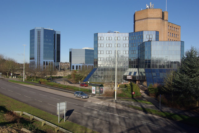
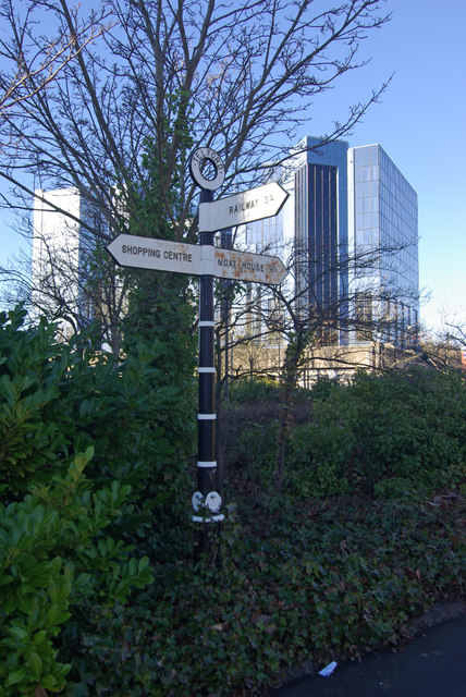
Dawley Bank benefits from its close proximity to various amenities and services. The nearby Telford town center offers a wide range of shopping options, including national chain stores, independent boutiques, and a bustling market. Additionally, residents have access to a variety of supermarkets, cafes, restaurants, and entertainment venues within a short distance.

For outdoor enthusiasts, Dawley Bank is conveniently located near several green spaces and recreational facilities. The Telford Town Park, located a short drive away, is a popular destination for leisure activities, featuring beautiful gardens, play areas, and even a skiing slope. Furthermore, the area is well-connected to the wider Shropshire countryside, allowing residents to easily explore the natural beauty of the region.

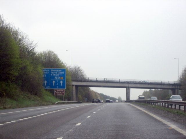
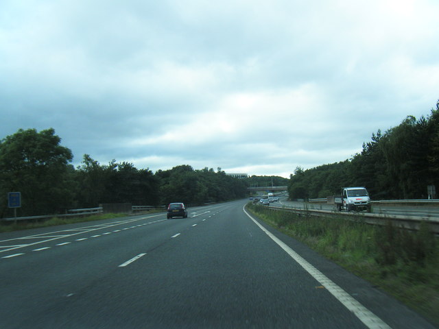
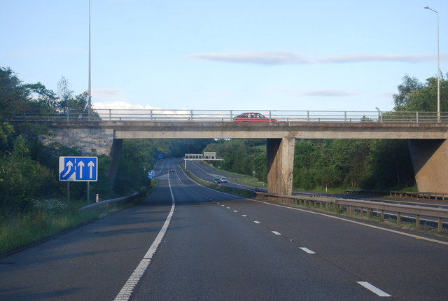
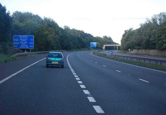
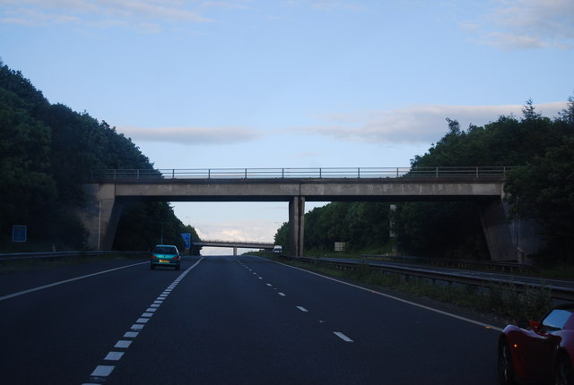
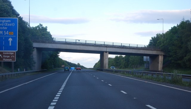
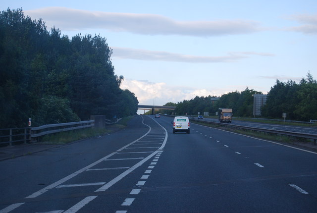
Transportation in Dawley Bank is well-served by local bus routes, providing convenient links to neighboring areas. The nearby M54 motorway offers easy access to the wider West Midlands region, making it an ideal location for commuters.

Overall, Dawley Bank offers a peaceful and well-connected residential area, providing a comfortable living environment for its residents.

If you have any feedback on the listing, please let us know in the comments section below.
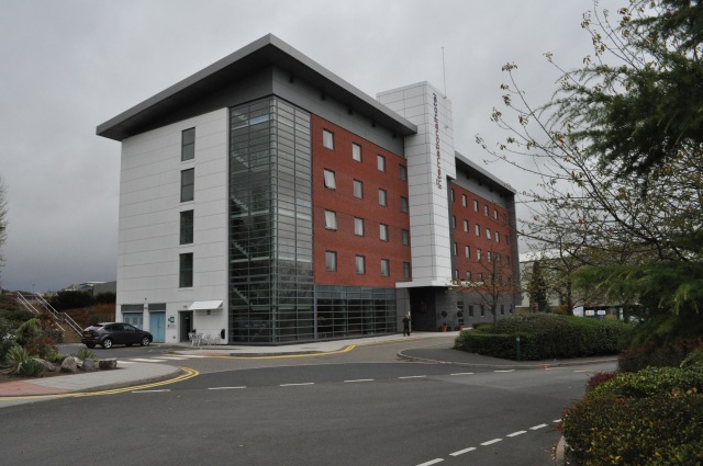
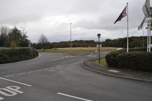
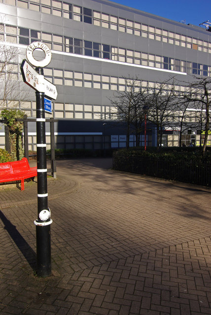
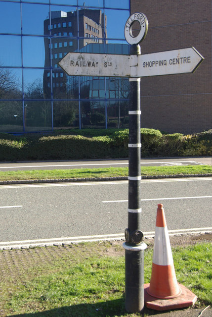
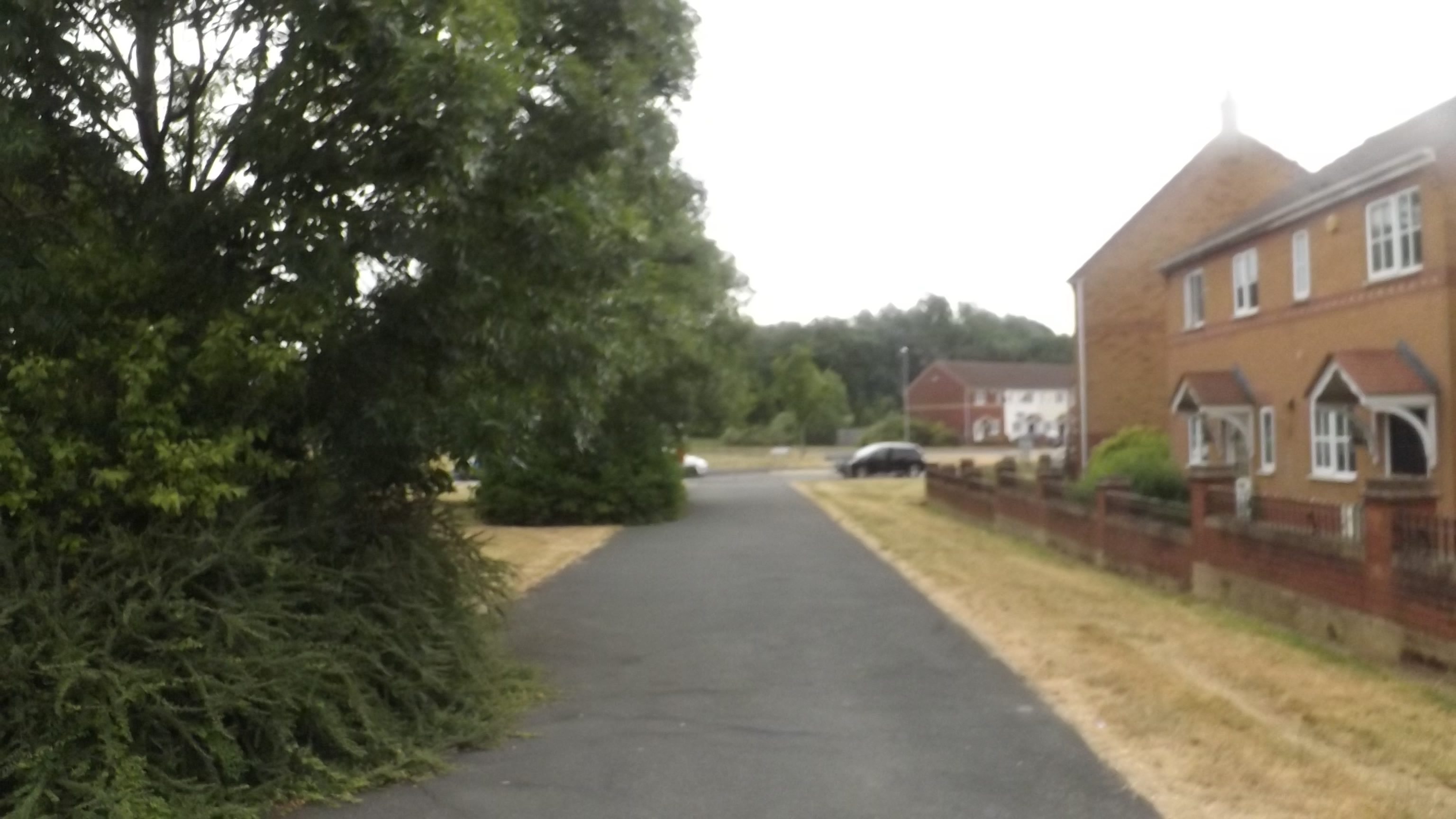
Dawley Bank Images

Images are sourced within 2km of 52.674692/-2.468509 or Grid Reference SJ6808. Thanks to Geograph Open Source API. All images are credited.

Telford International Hotel Typical modern sleeping facility.
Telford International Hotel
Typical modern sleeping facility.
St. Quentin Roundabout Taken from the entrance to the nearby hotel.
St. Quentin Roundabout
Taken from the entrance to the nearby hotel.
M54 Eastbound Junction 5 One Third of a Mile
M54 westbound in Telford
M54, Junction 6 The M54 is a 23 mile east-west motorway in Shropshire and Staffordshire. It is a two-lane dual carriageway for the majority of its length, with sections of three-lane.
The M54 spur connects the M6 motorway near Essington, Staffordshire with the A5 trunk road at Wellington, Shropshire. The motorway forms part of the route to North Wales, roughly following the path of the Roman Watling Street and the A5 north-westwards, towards the port of Holyhead.
M54, Junction 6
The M54 is a 23 mile east-west motorway in Shropshire and Staffordshire. It is a two-lane dual carriageway for the majority of its length, with sections of three-lane. The M54 spur connects the M6 motorway near Essington, Staffordshire with the A5 trunk road at Wellington, Shropshire. The motorway forms part of the route to North Wales, roughly following the path of the Roman Watling Street and the A5 north-westwards, towards the port of Holyhead.
M54, eastbound The M54 is a 23 mile east-west motorway in Shropshire and Staffordshire. It is a two-lane dual carriageway for the majority of its length, with sections of three-lane.
The M54 spur connects the M6 motorway near Essington, Staffordshire with the A5 trunk road at Wellington, Shropshire. The motorway forms part of the route to North Wales, roughly following the path of the Roman Watling Street and the A5 north-westwards, towards the port of Holyhead.
M54, eastbound
The M54 is a 23 mile east-west motorway in Shropshire and Staffordshire. It is a two-lane dual carriageway for the majority of its length, with sections of three-lane. The M54 spur connects the M6 motorway near Essington, Staffordshire with the A5 trunk road at Wellington, Shropshire. The motorway forms part of the route to North Wales, roughly following the path of the Roman Watling Street and the A5 north-westwards, towards the port of Holyhead.
M54, Garfield Road Bridge The M54 is a 23 mile east-west motorway in Shropshire and Staffordshire. It is a two-lane dual carriageway for the majority of its length, with sections of three-lane.
The M54 spur connects the M6 motorway near Essington, Staffordshire with the A5 trunk road at Wellington, Shropshire. The motorway forms part of the route to North Wales, roughly following the path of the Roman Watling Street and the A5 north-westwards, towards the port of Holyhead.
M54, Garfield Road Bridge
The M54 is a 23 mile east-west motorway in Shropshire and Staffordshire. It is a two-lane dual carriageway for the majority of its length, with sections of three-lane. The M54 spur connects the M6 motorway near Essington, Staffordshire with the A5 trunk road at Wellington, Shropshire. The motorway forms part of the route to North Wales, roughly following the path of the Roman Watling Street and the A5 north-westwards, towards the port of Holyhead.
M54, Mossey Green Bridge The M54 is a 23 mile east-west motorway in Shropshire and Staffordshire. It is a two-lane dual carriageway for the majority of its length, with sections of three-lane.
The M54 spur connects the M6 motorway near Essington, Staffordshire with the A5 trunk road at Wellington, Shropshire. The motorway forms part of the route to North Wales, roughly following the path of the Roman Watling Street and the A5 north-westwards, towards the port of Holyhead.
M54, Mossey Green Bridge
The M54 is a 23 mile east-west motorway in Shropshire and Staffordshire. It is a two-lane dual carriageway for the majority of its length, with sections of three-lane. The M54 spur connects the M6 motorway near Essington, Staffordshire with the A5 trunk road at Wellington, Shropshire. The motorway forms part of the route to North Wales, roughly following the path of the Roman Watling Street and the A5 north-westwards, towards the port of Holyhead.
M54, eastbound The M54 is a 23 mile east-west motorway in Shropshire and Staffordshire. It is a two-lane dual carriageway for the majority of its length, with sections of three-lane.
The M54 spur connects the M6 motorway near Essington, Staffordshire with the A5 trunk road at Wellington, Shropshire. The motorway forms part of the route to North Wales, roughly following the path of the Roman Watling Street and the A5 north-westwards, towards the port of Holyhead.
M54, eastbound
The M54 is a 23 mile east-west motorway in Shropshire and Staffordshire. It is a two-lane dual carriageway for the majority of its length, with sections of three-lane. The M54 spur connects the M6 motorway near Essington, Staffordshire with the A5 trunk road at Wellington, Shropshire. The motorway forms part of the route to North Wales, roughly following the path of the Roman Watling Street and the A5 north-westwards, towards the port of Holyhead.
Darby House, Telford Local government offices including the housing office.
Darby House, Telford
Local government offices including the housing office.
Bridge to Telford Central Station This long footbridge connects Telford's shopping centre area with the town's central station, crossing Rampart Way and Queensway.
Bridge to Telford Central Station
This long footbridge connects Telford's shopping centre area with the town's central station, crossing Rampart Way and Queensway.
Signpost in Telford Telford has a collection of these attractive fingerposts directing pedestrians around its modern buildings. This is the way to Telford Central station past the grey council offices.
Signpost in Telford
Telford has a collection of these attractive fingerposts directing pedestrians around its modern buildings. This is the way to Telford Central station past the grey council offices.
Lawn Central, Telford Looking across the oddly-named Lawn Central, amongst the rather futuristic office blocks in central Telford.
Lawn Central, Telford
Looking across the oddly-named Lawn Central, amongst the rather futuristic office blocks in central Telford.
Signpost in Telford The attractive fingerposts contrast with Telford's modern office blocks here on Ironmasters Way.
Signpost in Telford
The attractive fingerposts contrast with Telford's modern office blocks here on Ironmasters Way.
Signpost in Telford An errant traffic cone sits beside one of Telford's traditional fingerposts, contrasting with the mirror glass of the modern block opposite on Ironmasters Way.
Signpost in Telford
An errant traffic cone sits beside one of Telford's traditional fingerposts, contrasting with the mirror glass of the modern block opposite on Ironmasters Way.
Path to Telford Central Giving the appearance of being deep in woodland, but in fact in the centre of Telford, this is the northern end of the substantial footbridge over Telford Central station. There is an option to walk down to the station via steps or a long ramp.
Path to Telford Central
Giving the appearance of being deep in woodland, but in fact in the centre of Telford, this is the northern end of the substantial footbridge over Telford Central station. There is an option to walk down to the station via steps or a long ramp.
Footbridge at Telford Central Station This long footbridge crosses in turn the railway, Queensway and Rampart Way and gives access to the town centre.
Footbridge at Telford Central Station
This long footbridge crosses in turn the railway, Queensway and Rampart Way and gives access to the town centre.
Telford Station The view across Euston Way in Telford.
Telford Station
The view across Euston Way in Telford.
Show me another place!

Dawley Bank is located at Grid Ref: SJ6808 (Lat: 52.674692, Lng: -2.468509)

Unitary Authority: Telford and Wrekin

Police Authority: West Mercia

What 3 Words

///frame.furniture.cotton. Near Telford, Shropshire

Related Wikis

Springwell Pit disaster

The Springwell Pit disaster occurred on 6 December 1872 at Springwell coal mining pit near Dawley, Shropshire (now part of Telford). Miners at the pit...

Thomas Telford School

Thomas Telford School is a City Technology College in Telford, Shropshire and is sponsored by The Mercers Company and Tarmac Holdings Limited. == History... ==

Malinslee

Malinslee is an estate in the town of Telford and Wrekin, Shropshire, England. It is near the Town Park and Telford Shopping Centre, and next to the Dawley...

Lawley Bank railway station

Lawley Bank railway station was a station to the north of Horsehay, Shropshire, England. The station was opened in 1859 and closed in 1962. == References... ==

Nearby Amenities

Located within 500m of 52.674692,-2.468509
Barrier: bollard
Lat/Long: 52.6747872/-2.4654602
Turning Circle
Lat/Long: 52.6766599/-2.4689671
Traffic Calming: choker
Lat/Long: 52.6770502/-2.4715282
Traffic Calming: choker
Lat/Long: 52.6770921/-2.4740513
Dawley Bank
Is In: Telford
Place: suburb
Source: OS_OpenData_StreetView
Lat/Long: 52.6759041/-2.469822
Crossing
Crossing: unmarked
Crossing Island: no
Tactile Paving: yes
Lat/Long: 52.6752728/-2.464693
Crossing
Crossing: unmarked
Lat/Long: 52.6781273/-2.4676979
Crossing
Crossing: unmarked
Lat/Long: 52.6780987/-2.4678799
Crossing
Crossing: unmarked
Lat/Long: 52.6781293/-2.4667634
Crossing
Crossing: unmarked
Lat/Long: 52.6781693/-2.4670382
Pub
Bulls Head
Addr City: Telford
Addr Postcode: TF4 2LJ
Addr Street: Milners Lane
Addr Suburb: Dawley Bank
Fhrs Id: 1212324
Source Addr: FHRS Open Data
Lat/Long: 52.6727881/-2.4704624
Pub
Wrekin View
Addr City: Telford
Addr Postcode: TF4 2JH
Addr Street: Milners Lane
Addr Suburb: Dawley Bank
Fhrs Id: 997354
Source Addr: FHRS Open Data
Lat/Long: 52.6737334/-2.4702137
Crossing
Crossing: unmarked
Crossing Island: no
Tactile Paving: yes
Lat/Long: 52.677161/-2.4626689
Crossing
Crossing: unmarked
Crossing Island: no
Tactile Paving: yes
Lat/Long: 52.6772586/-2.4626487
Barrier: bollard
Lat/Long: 52.6721739/-2.4680373
Generator Method: photovoltaic
Generator Output Electricity: yes
Generator Source: solar
Generator Type: solar_photovoltaic_panel
Location: roof
Power: generator
Lat/Long: 52.6766211/-2.4736807
Generator Method: photovoltaic
Generator Output Electricity: yes
Generator Source: solar
Generator Type: solar_photovoltaic_panel
Location: roof
Power: generator
Lat/Long: 52.6767366/-2.4734795
Generator Method: photovoltaic
Generator Output Electricity: yes
Generator Source: solar
Generator Type: solar_photovoltaic_panel
Location: roof
Power: generator
Lat/Long: 52.6773221/-2.4722537
Generator Method: photovoltaic
Generator Output Electricity: yes
Generator Source: solar
Generator Type: solar_photovoltaic_panel
Location: roof
Power: generator
Lat/Long: 52.6775741/-2.4719963
Generator Method: photovoltaic
Generator Output Electricity: yes
Generator Source: solar
Generator Type: solar_photovoltaic_panel
Location: roof
Power: generator
Lat/Long: 52.6725098/-2.4704379
Generator Method: photovoltaic
Generator Output Electricity: yes
Generator Source: solar
Generator Type: solar_photovoltaic_panel
Location: roof
Power: generator
Lat/Long: 52.6733978/-2.4699283
Generator Method: photovoltaic
Generator Output Electricity: yes
Generator Source: solar
Generator Type: solar_photovoltaic_panel
Location: roof
Power: generator
Lat/Long: 52.6741524/-2.4688527
Generator Method: photovoltaic
Generator Output Electricity: yes
Generator Source: solar
Generator Type: solar_photovoltaic_panel
Location: roof
Power: generator
Lat/Long: 52.6741475/-2.4689466
Generator Method: photovoltaic
Generator Output Electricity: yes
Generator Source: solar
Generator Type: solar_photovoltaic_panel
Location: roof
Power: generator
Lat/Long: 52.6742158/-2.4719426
Generator Method: photovoltaic
Generator Output Electricity: yes
Generator Source: solar
Generator Type: solar_photovoltaic_panel
Location: roof
Power: generator
Lat/Long: 52.6742419/-2.4727446
Generator Method: photovoltaic
Generator Output Electricity: yes
Generator Source: solar
Generator Type: solar_photovoltaic_panel
Location: roof
Power: generator
Lat/Long: 52.6727928/-2.4715322
Generator Method: photovoltaic
Generator Output Electricity: yes
Generator Source: solar
Generator Type: solar_photovoltaic_panel
Location: roof
Power: generator
Lat/Long: 52.6744956/-2.4623698
Generator Method: photovoltaic
Generator Output Electricity: yes
Generator Source: solar
Generator Type: solar_photovoltaic_panel
Location: roof
Power: generator
Lat/Long: 52.6745086/-2.4625629
Generator Method: photovoltaic
Generator Output Electricity: yes
Generator Source: solar
Generator Type: solar_photovoltaic_panel
Location: roof
Power: generator
Lat/Long: 52.6745118/-2.4626729
Generator Method: photovoltaic
Generator Output Electricity: yes
Generator Source: solar
Generator Type: solar_photovoltaic_panel
Location: roof
Power: generator
Lat/Long: 52.6745753/-2.4630967
Generator Method: photovoltaic
Generator Output Electricity: yes
Generator Source: solar
Generator Type: solar_photovoltaic_panel
Location: roof
Power: generator
Lat/Long: 52.673632/-2.463035
Generator Method: photovoltaic
Generator Output Electricity: yes
Generator Source: solar
Generator Type: solar_photovoltaic_panel
Location: roof
Power: generator
Lat/Long: 52.6734124/-2.4622598
Crossing
Crossing: unmarked
Crossing Island: no
Kerb: flush
Tactile Paving: yes
Lat/Long: 52.6769628/-2.4666919
Barrier: kerb
Kerb: flush
Tactile Paving: yes
Lat/Long: 52.6769613/-2.4669339
Crossing
Crossing: unmarked
Crossing Island: no
Kerb: flush
Tactile Paving: yes
Lat/Long: 52.6769477/-2.466976
Barrier: kerb
Kerb: flush
Tactile Paving: yes
Lat/Long: 52.6769777/-2.4675865
Crossing
Crossing: unmarked
Crossing Island: no
Kerb: flush
Tactile Paving: yes
Lat/Long: 52.6770109/-2.467629
Barrier: kerb
Kerb: flush
Tactile Paving: yes
Lat/Long: 52.6770614/-2.467743
Crossing
Crossing: unmarked
Crossing Island: no
Kerb: flush
Tactile Paving: yes
Lat/Long: 52.6770621/-2.467814
Crossing
Crossing: unmarked
Crossing Island: no
Kerb: flush
Tactile Paving: yes
Lat/Long: 52.6774895/-2.4683892
Crossing
Crossing: unmarked
Crossing Island: no
Kerb: flush
Tactile Paving: yes
Lat/Long: 52.6776771/-2.4683931
Barrier: kerb
Kerb: flush
Tactile Paving: yes
Lat/Long: 52.6770626/-2.4678883
Barrier: kerb
Kerb: flush
Tactile Paving: yes
Lat/Long: 52.6770363/-2.4676655
Barrier: kerb
Kerb: flush
Tactile Paving: yes
Lat/Long: 52.6769192/-2.4670605
Barrier: kerb
Kerb: flush
Tactile Paving: yes
Lat/Long: 52.676956/-2.4666287
Barrier: kerb
Kerb: flush
Tactile Paving: yes
Lat/Long: 52.6769623/-2.4667791
Crossing
Lat/Long: 52.6711912/-2.4699388
Bench
Backrest: yes
Lat/Long: 52.6729389/-2.4708137
The data included in this document is from www.openstreetmap.org. The data is made available under ODbL.

Have you been to Dawley Bank?

Leave your review of Dawley Bank below (or comments, questions and feedback).