Bashley Copse
Wood, Forest in Hampshire New Forest
England
Bashley Copse
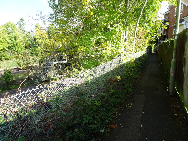
Bashley Copse is a picturesque woodland located in the New Forest National Park, Hampshire, England. Spread across an area of approximately 100 hectares, it is known for its diverse range of flora and fauna, making it a popular destination for nature enthusiasts, hikers, and photographers.
The woodland primarily consists of oak and beech trees, creating a dense canopy that provides shelter to a variety of wildlife species. Visitors can spot deer, badgers, rabbits, and a myriad of bird species, including woodpeckers, owls, and buzzards. The forest floor is adorned with an array of wildflowers during the spring and summer months, adding to the area's natural beauty.
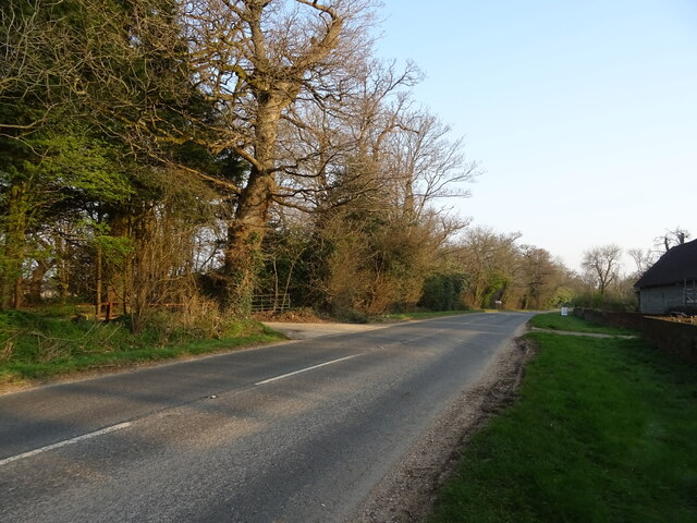
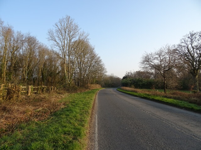
Bashley Copse offers a network of well-maintained footpaths and trails, allowing visitors to explore the woodland at their own pace. The paths lead to hidden clearings and tranquil spots, perfect for picnicking or simply immersing oneself in the peaceful ambiance of the forest.
The copse is also home to a small stream that meanders through the woodland, providing a refreshing backdrop and attracting various aquatic creatures. Additionally, there are several ponds within Bashley Copse that support a diverse range of amphibians, such as frogs, newts, and toads.
Overall, Bashley Copse in Hampshire is a captivating woodland that offers visitors a chance to connect with nature. Its rich biodiversity, scenic trails, and tranquil atmosphere make it an ideal destination for those seeking a peaceful retreat or an opportunity to explore the wonders of the natural world.
If you have any feedback on the listing, please let us know in the comments section below.
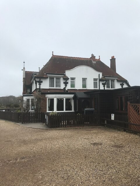
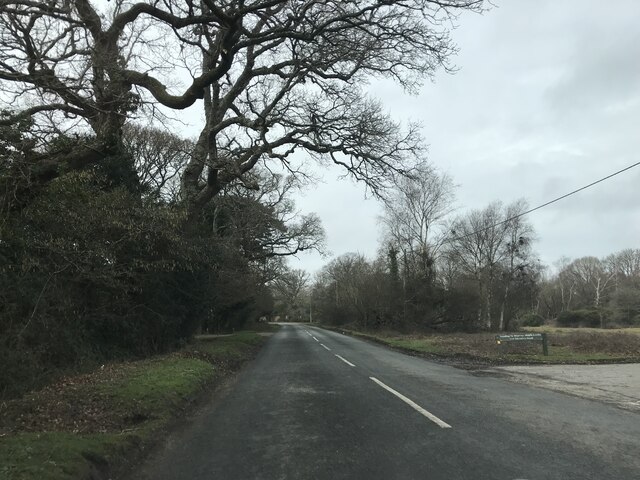
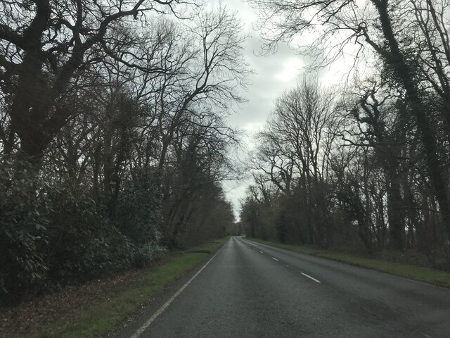
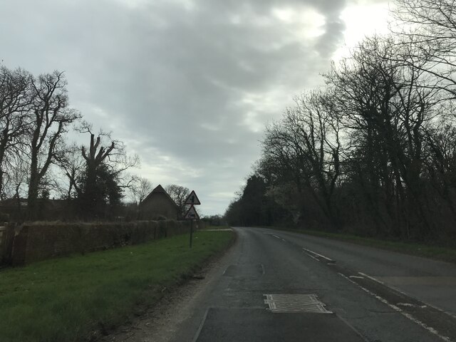
Bashley Copse Images
Images are sourced within 2km of 50.771373/-1.6710575 or Grid Reference SZ2396. Thanks to Geograph Open Source API. All images are credited.


Bashley Copse is located at Grid Ref: SZ2396 (Lat: 50.771373, Lng: -1.6710575)
Administrative County: Hampshire
District: New Forest
Police Authority: Hampshire
What 3 Words
///snipe.solved.contemplate. Near New Milton, Hampshire
Nearby Locations
Related Wikis

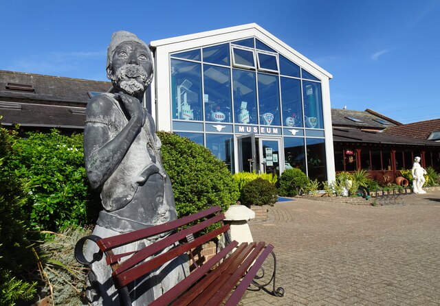
Sammy Miller Motorcycle Museum
The Sammy Miller Motorcycle Museum is an independent museum in New Milton, Hampshire, England. It was set up in 1964, after the former championship winning...

Bashley, Hampshire
Bashley is a chapelry in the New Forest (in the south west of Hampshire) England. It takes up the north of New Milton civil parish of a type having a town...

Ossemsley
Ossemsley is an extended hamlet in the New Forest National Park of Hampshire, England. It lies close to the village of Bashley. The nearest town is New...

Bashley F.C.
Bashley Football Club is a football club based in Bashley, near New Milton, Hampshire, England. They are currently members of the Southern League Division...
Ballard School (New Milton)
Ballard School is a private, private school located in New Milton, Hampshire, for children aged 2 to 16 years. The Headmaster is Andrew McCleave (since...

Beckley, Hampshire
Beckley is a hamlet in Hampshire, England. It lies in the civil parish of Bransgore. Beckley is mentioned in the Domesday Book of 1086, when it was held...

East Close House
East Close House in Hinton, Hampshire, near Christchurch, Dorset, is a building of historical significance and a grade II listed building on the English...

Wootton, New Forest
Wootton is a hamlet in the civil parish of New Milton in Hampshire, England. It is in the south of the New Forest. == Overview == Wootton is just north...
Nearby Amenities
Located within 500m of 50.771373,-1.6710575Have you been to Bashley Copse?
Leave your review of Bashley Copse below (or comments, questions and feedback).