Thistlybutts Plantation
Wood, Forest in Northumberland
England
Thistlybutts Plantation
Thistlybutts Plantation is a picturesque woodland area located in Northumberland, England. Situated in the northernmost county of England, the plantation is known for its natural beauty and diverse ecosystem. The woodland covers an expansive area, providing a haven for various flora and fauna.
The plantation is predominantly composed of deciduous and coniferous trees, creating a captivating mix of colors throughout the year. Tall oak, beech, and birch trees dominate the landscape, forming a dense canopy that provides shade and shelter for wildlife. The woodland floor is adorned with a tapestry of wildflowers, adding a vibrant touch to the surroundings.
Thistlybutts Plantation is a popular destination for nature enthusiasts and outdoor adventurers alike. The woodland offers a network of well-maintained footpaths, allowing visitors to explore the plantation at their own pace. The paths meander through the trees, offering breathtaking views of the surrounding countryside.
The plantation is also home to a rich array of wildlife. Many species of birds, including woodpeckers, owls, and songbirds, can be spotted flitting among the branches. Squirrels scurry about, gathering nuts and acorns, while foxes and deer occasionally make appearances, adding to the enchanting atmosphere of the woodland.
Thistlybutts Plantation provides a tranquil retreat for those seeking to escape the hustle and bustle of everyday life. Whether it's a leisurely stroll, a picnic among the trees, or simply basking in the serenity of nature, this woodland gem offers a truly rejuvenating experience.
If you have any feedback on the listing, please let us know in the comments section below.
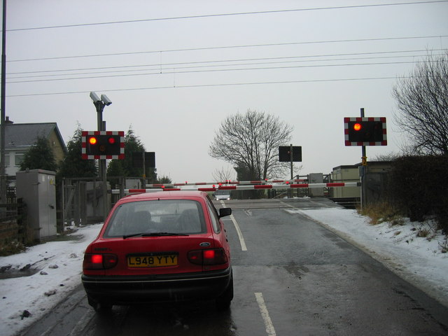
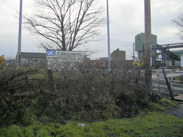
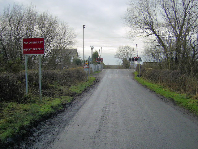
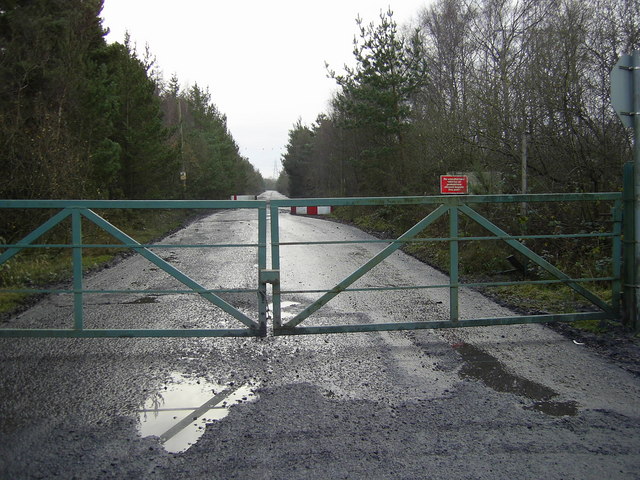
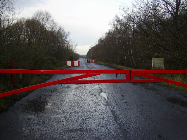
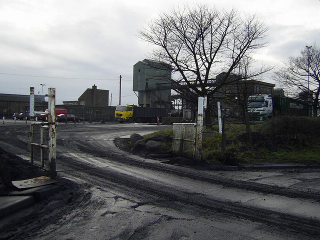
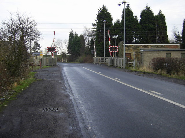
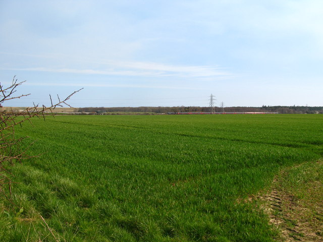
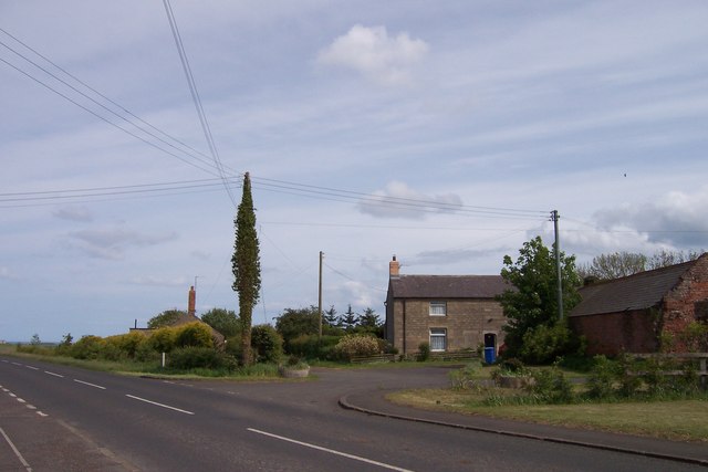
Thistlybutts Plantation Images
Images are sourced within 2km of 55.257208/-1.6455683 or Grid Reference NZ2295. Thanks to Geograph Open Source API. All images are credited.


Thistlybutts Plantation is located at Grid Ref: NZ2295 (Lat: 55.257208, Lng: -1.6455683)
Unitary Authority: Northumberland
Police Authority: Northumbria
What 3 Words
///centuries.shuttered.heat. Near East Chevington, Northumberland
Nearby Locations
Related Wikis
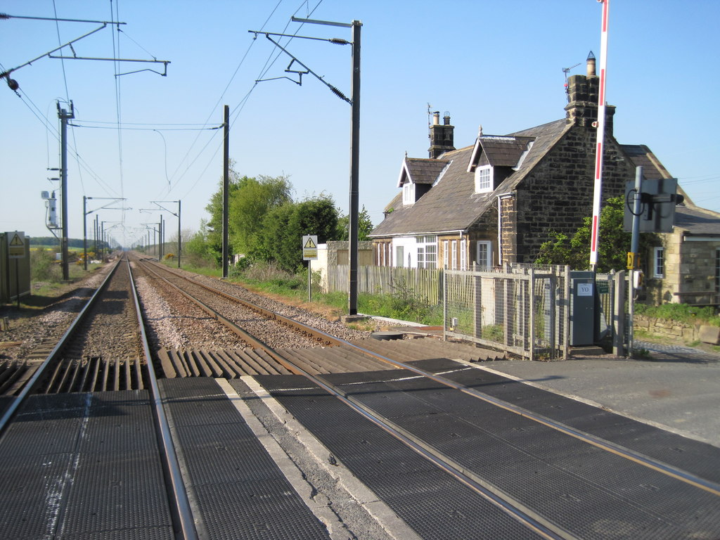
Chevington railway station
Chevington railway station served the village of West Chevington, Northumberland, England from 1847 to 1964 on the East Coast Main Line. == History... ==
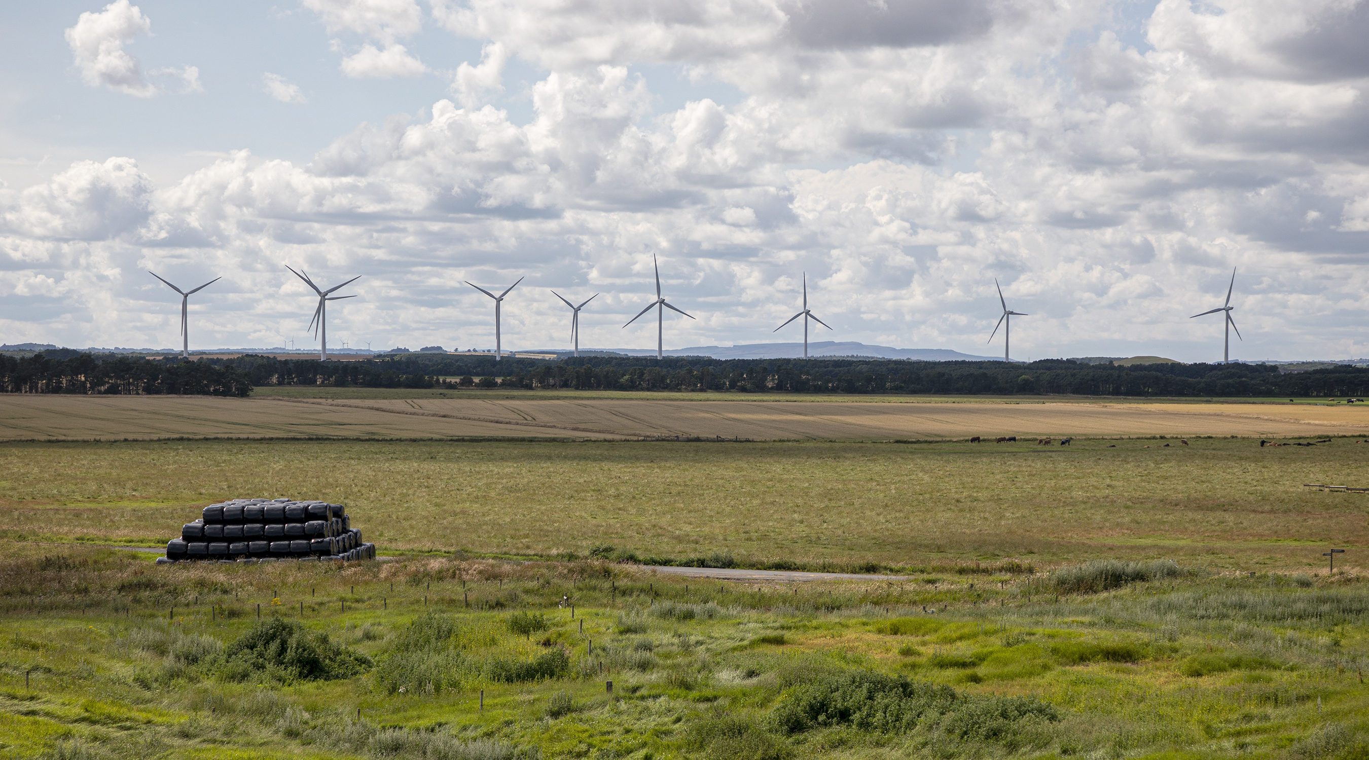
North Steads Wind Farm
North Steads Wind Farm is an onshore electricity generating site west of Widdrington in Northumberland, England. The site was developed on old coal opencast...
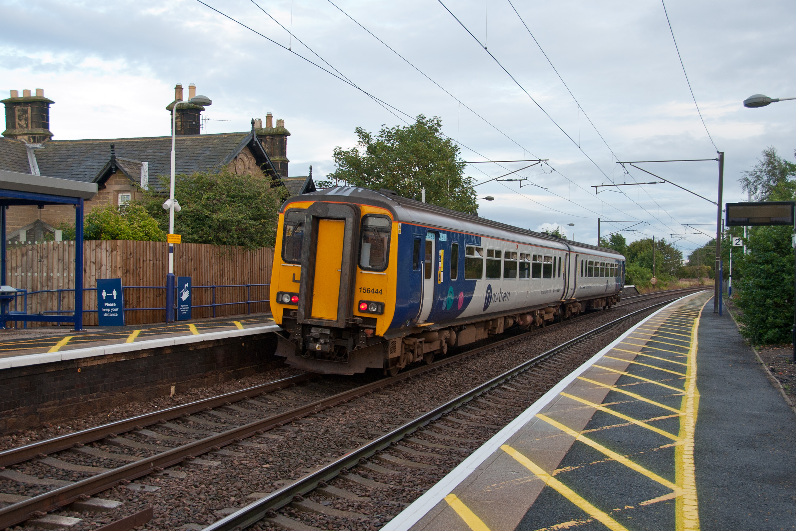
Widdrington railway station
Widdrington is a railway station on the East Coast Main Line, which runs between London King's Cross and Edinburgh Waverley. The station, situated 23 miles...
Eshott
Eshott is a village and former civil parish, now in the parish of Thirston, in Northumberland, England. In 1951 the parish had a population of 114.It is...

Widdrington Station and Stobswood
Widdrington Station and Stobswood is a civil parish in the county of Northumberland, England. It has a population of 2,767 (as of 2011) and is 6 miles...

Widdrington Village
Widdrington is a village and (as Widdrington Village) a civil parish in the county of Northumberland, England. It borders Tritlington and West Chevington...
Widdrington Castle
Widdrington Castle is a Scheduled Ancient Monument and the site of a former medieval tower house and castle at Widdrington, Northumberland, England of...
Ulgham
Ulgham is a small village in Northumberland, England. The name Ulgham is pronounced 'Uffam': [ˈʊfəm] (locally), [ˈʌfəm] (RP). It is known as the 'village...
Nearby Amenities
Located within 500m of 55.257208,-1.6455683Have you been to Thistlybutts Plantation?
Leave your review of Thistlybutts Plantation below (or comments, questions and feedback).