Belt Plantation
Wood, Forest in Northumberland
England
Belt Plantation

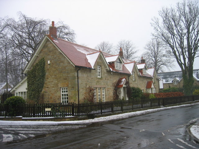
Belt Plantation is a dense woodland located in Northumberland, a county in the northeast of England. Spanning over a vast area, this plantation is known for its lush greenery, towering trees, and diverse wildlife. The name "Belt" refers to the narrow strip of land covered by the plantation, which stretches between two larger forests.
This woodland boasts a rich history, dating back centuries. It was originally established as a timber plantation in the 18th century, with the aim of providing a sustainable source of wood for various industries. Over time, the plantation expanded, and today it stands as a significant ecological and recreational site.
The diverse range of tree species within Belt Plantation is one of its key features. The dominant tree species include oak, beech, birch, and spruce, which create a dense canopy, offering shade and shelter to the ecosystem below. The forest floor is adorned with a carpet of wildflowers, ferns, and mosses, adding to the natural beauty.
Wildlife thrives within the plantation, with numerous species finding refuge in its secluded corners. Deer, foxes, and badgers are often spotted, along with a variety of bird species, including owls, woodpeckers, and thrushes. The plantation is also home to several rare and protected species, such as the red squirrel and the great crested newt.
Belt Plantation not only serves as an important habitat but also attracts outdoor enthusiasts and nature lovers. It offers various recreational activities, including hiking trails, nature walks, and birdwatching opportunities. The tranquil ambiance and breathtaking scenery make it a popular destination for both locals and tourists seeking an escape into nature.
If you have any feedback on the listing, please let us know in the comments section below.
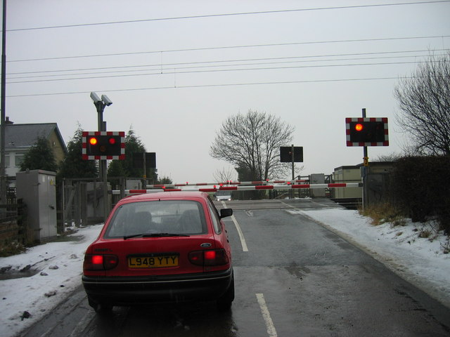
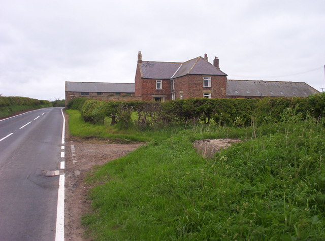
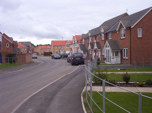
Belt Plantation Images
Images are sourced within 2km of 55.251542/-1.641041 or Grid Reference NZ2295. Thanks to Geograph Open Source API. All images are credited.


Belt Plantation is located at Grid Ref: NZ2295 (Lat: 55.251542, Lng: -1.641041)
Unitary Authority: Northumberland
Police Authority: Northumbria
What 3 Words
///pulses.compress.spells. Near East Chevington, Northumberland
Nearby Locations
Related Wikis
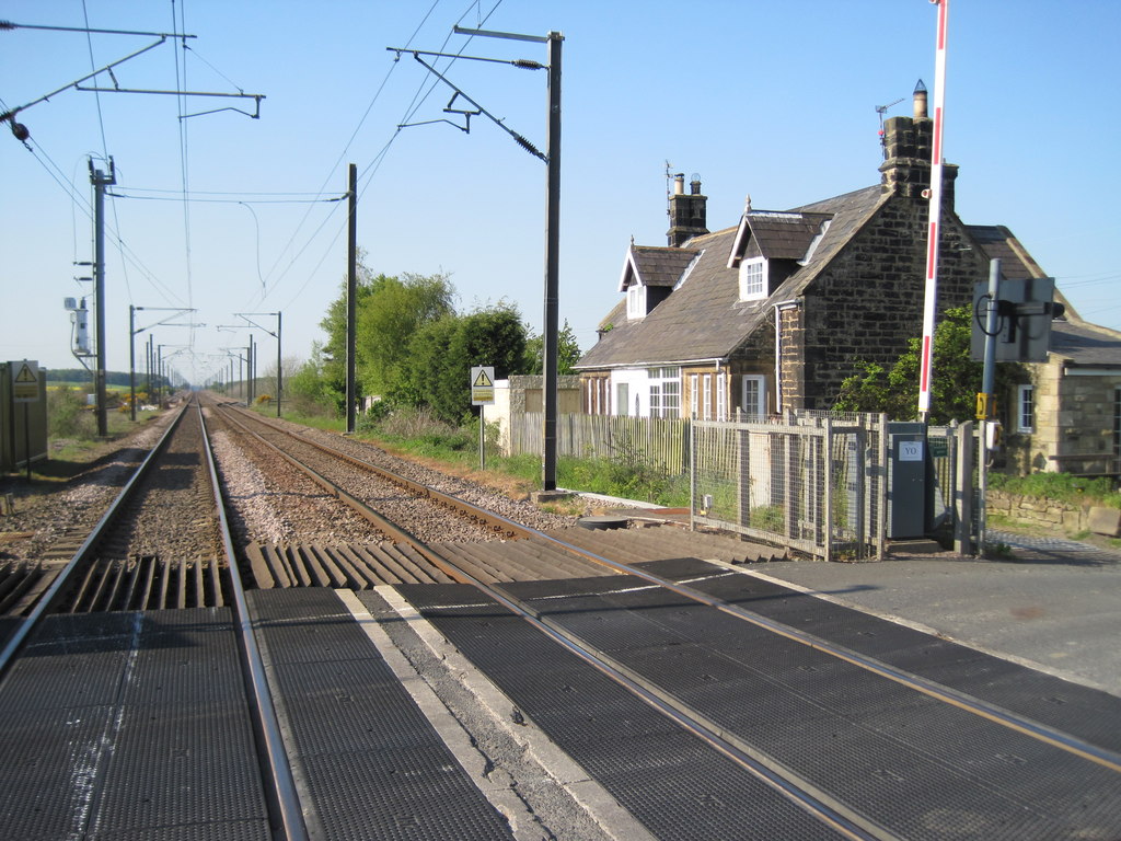
Chevington railway station
Chevington railway station served the village of West Chevington, Northumberland, England from 1847 to 1964 on the East Coast Main Line. == History... ==
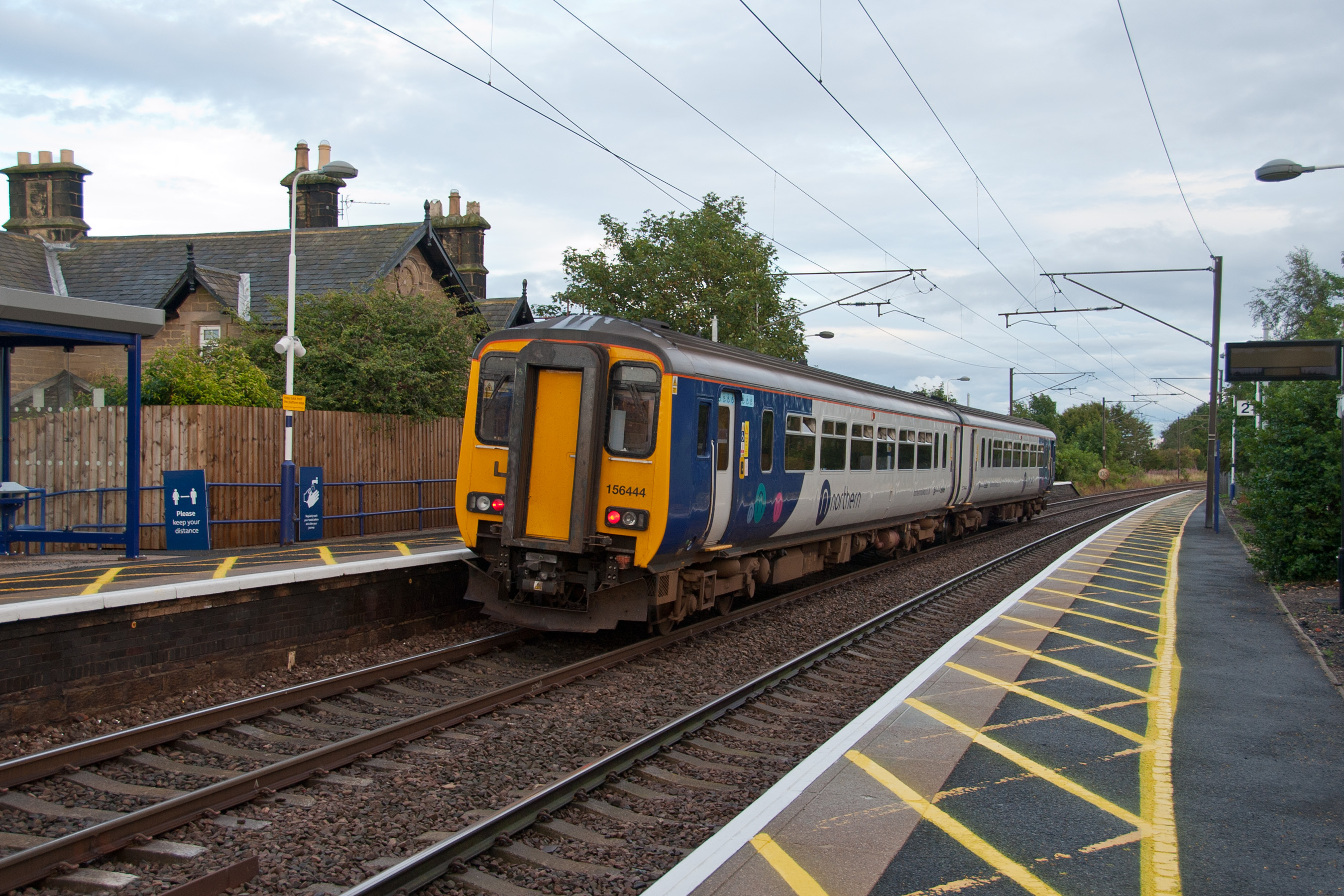
Widdrington railway station
Widdrington is a railway station on the East Coast Main Line, which runs between London King's Cross and Edinburgh Waverley. The station, situated 23 miles...

Widdrington Station and Stobswood
Widdrington Station and Stobswood is a civil parish in the county of Northumberland, England. It has a population of 2,767 (as of 2011) and is 6 miles...
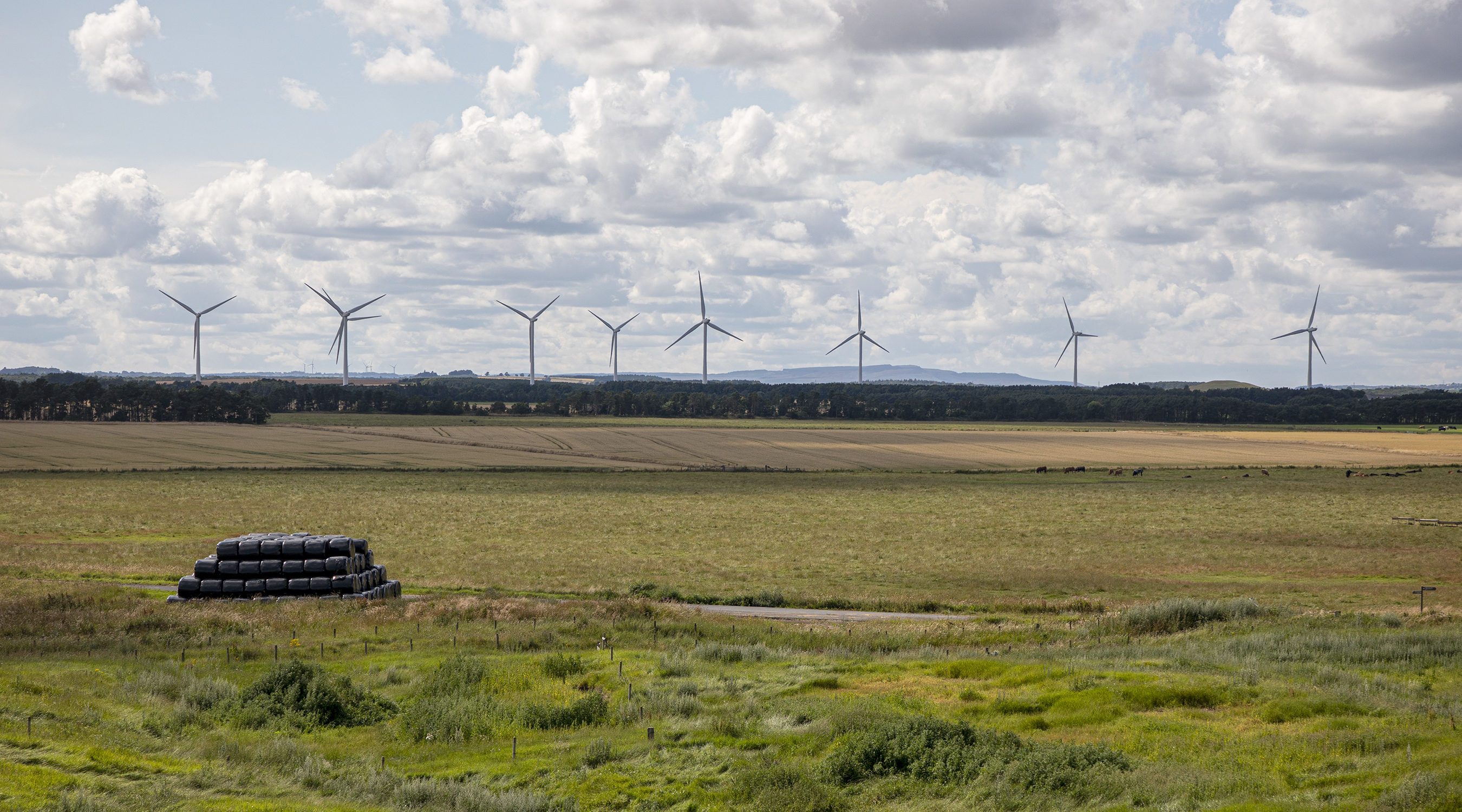
North Steads Wind Farm
North Steads Wind Farm is an onshore electricity generating site west of Widdrington in Northumberland, England. The site was developed on old coal opencast...

Widdrington Village
Widdrington is a village and (as Widdrington Village) a civil parish in the county of Northumberland, England. It borders Tritlington and West Chevington...
Widdrington Castle
Widdrington Castle is a Scheduled Ancient Monument and the site of a former medieval tower house and castle at Widdrington, Northumberland, England of...
Ulgham
Ulgham is a small village in Northumberland, England. The name Ulgham is pronounced 'Uffam': [ˈʊfəm] (locally), [ˈʌfəm] (RP). It is known as the 'village...
Eshott
Eshott is a village and former civil parish, now in the parish of Thirston, in Northumberland, England. In 1951 the parish had a population of 114.It is...
Nearby Amenities
Located within 500m of 55.251542,-1.641041Have you been to Belt Plantation?
Leave your review of Belt Plantation below (or comments, questions and feedback).