Longlands Spinney

Wood, Forest in Warwickshire Warwick

England

Longlands Spinney

Honiley Boot-The Phantom Coachman Public House.
Honiley Boot-The Phantom Coachman Credit: Ian Rob

Longlands Spinney is a picturesque woodland located in Warwickshire, England. Covering an area of approximately 5 hectares, it is known for its natural beauty and diverse range of flora and fauna. The wood is situated near the village of Long Lawford and is easily accessible to visitors.

The woodland is primarily composed of deciduous trees, including oak, ash, and beech, which create a dense canopy that provides shade and shelter for a variety of wildlife. This includes a wide range of bird species such as woodpeckers, thrushes, and warblers, making it a popular spot for birdwatching enthusiasts.

Longlands Spinney features several well-maintained walking trails that allow visitors to explore the area and enjoy its tranquil atmosphere. The paths wind through the wood, passing by small clearings and meandering streams, creating a serene and peaceful environment. It is also home to a diverse range of wildflowers, with bluebells carpeting the forest floor in the springtime.

The woodland is managed by the local authorities and is designated as a Site of Special Scientific Interest (SSSI) due to its importance for wildlife conservation. This recognition highlights the importance of preserving Longlands Spinney's unique ecosystem and biodiversity.

Overall, Longlands Spinney in Warwickshire offers visitors a chance to escape the hustle and bustle of everyday life and immerse themselves in nature. Its beauty, tranquility, and diverse wildlife make it a must-visit destination for nature lovers and outdoor enthusiasts alike.

If you have any feedback on the listing, please let us know in the comments section below.

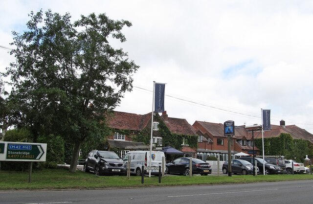
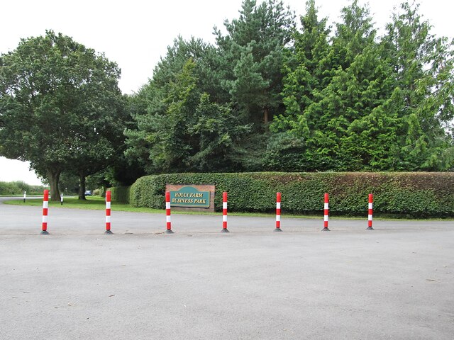
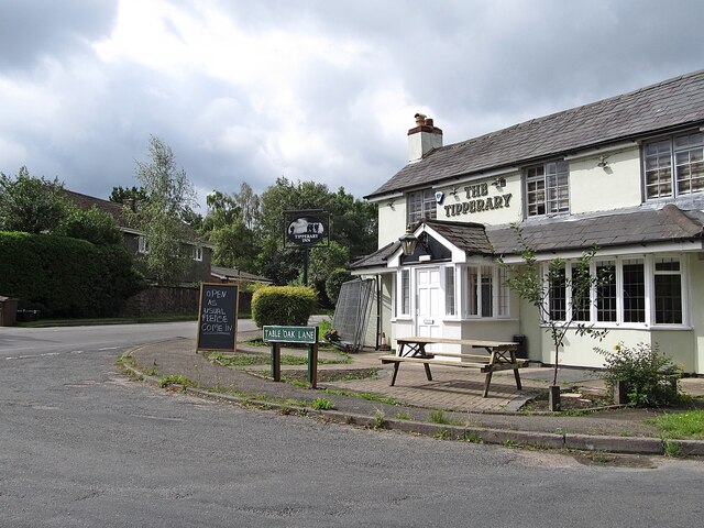
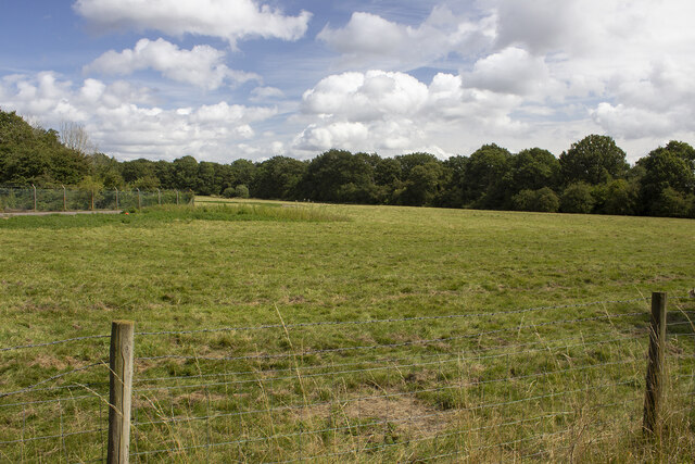
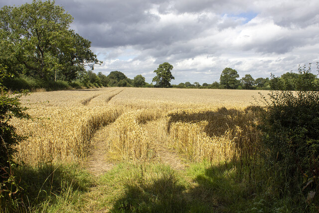
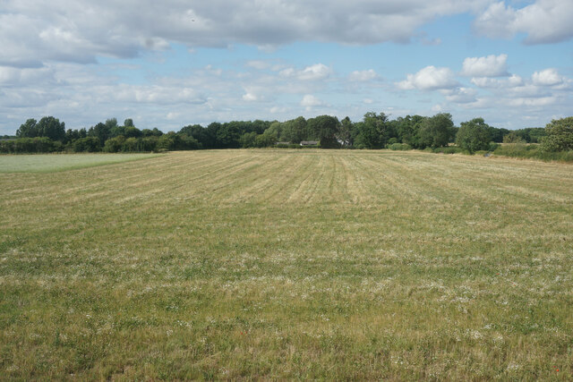
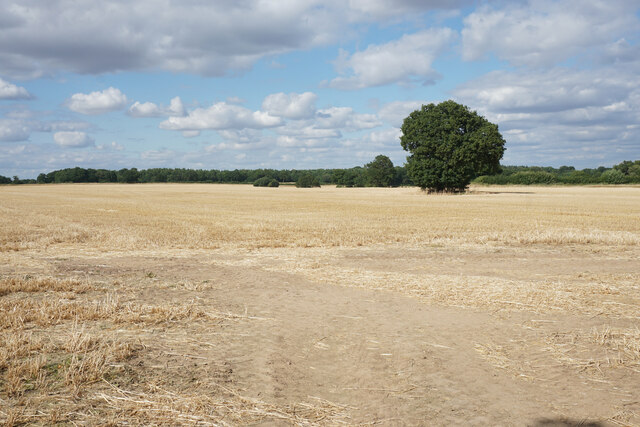
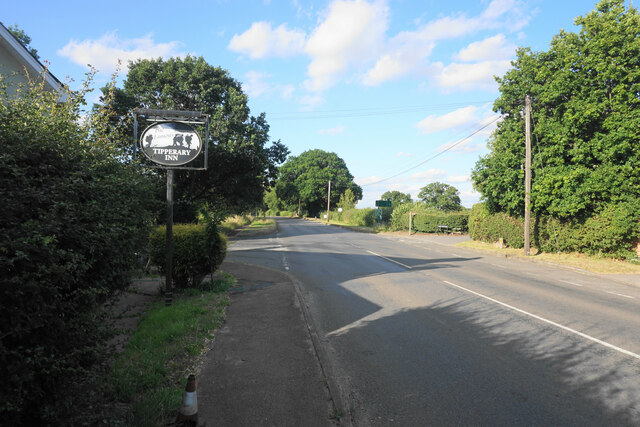
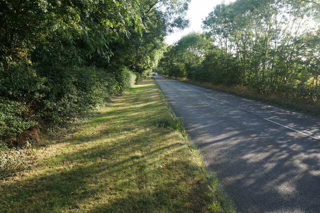
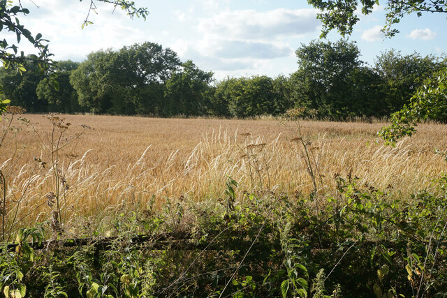
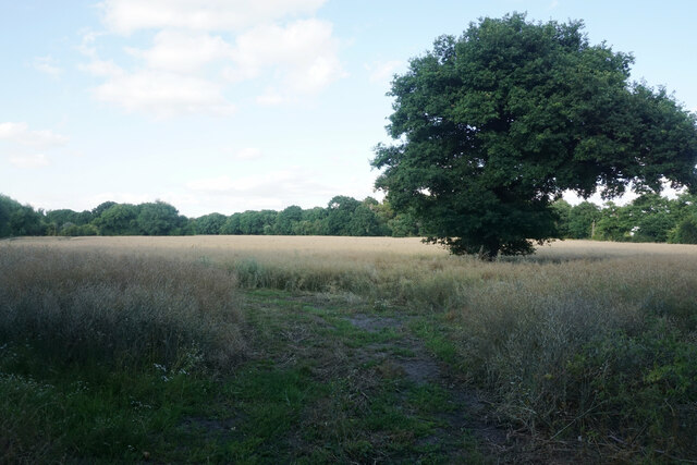
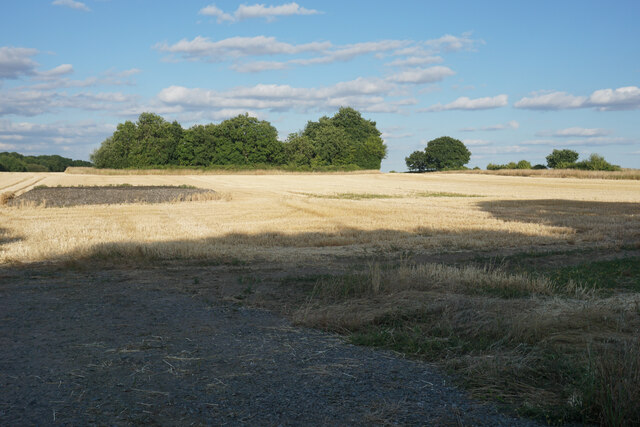
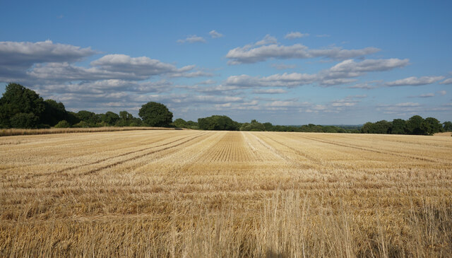
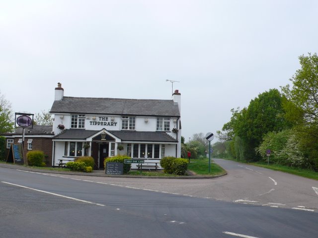
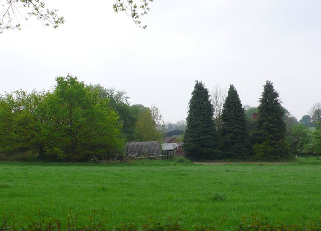
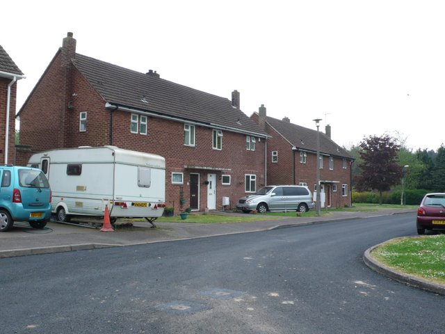
Longlands Spinney Images

Images are sourced within 2km of 52.362405/-1.6692054 or Grid Reference SP2273. Thanks to Geograph Open Source API. All images are credited.

Honiley Boot-The Phantom Coachman Public House.
Honiley Boot-The Phantom Coachman
Public House.
Holly Farm Business Park On the A4177.
Holly Farm Business Park
On the A4177.
Meer End-The Tipperary Inn On Table Oak Lane.
Meer End-The Tipperary Inn
On Table Oak Lane.
Woodland off School Lane Field and woodland off School Lane. Perimeter fence to Jaguar Land Rover facility
Woodland off School Lane
Field and woodland off School Lane. Perimeter fence to Jaguar Land Rover facility
Field off Manor Lane
Field at Honiley The field generates silage.
Field at Honiley
The field generates silage.
Harvested field at Honiley On the north side of Church Lane.
Harvested field at Honiley
On the north side of Church Lane.
A4177 at Meer End Most of the buildings at Meer End, apart from the Tipperary Inn, are set well back from the road.
A4177 at Meer End
Most of the buildings at Meer End, apart from the Tipperary Inn, are set well back from the road.
The A4177 south of Meer End There is a nicely mowed verge to walk on.
The A4177 south of Meer End
There is a nicely mowed verge to walk on.
Wheat field near Pear Tree Farm Farmland by the side of Meer End Road, but it is not generally easy to see it because of the foliage lining the road.
Wheat field near Pear Tree Farm
Farmland by the side of Meer End Road, but it is not generally easy to see it because of the foliage lining the road.
Berkswell & Balsall Rugby Club The pitches are viewed outside the ground by the A4177.
Berkswell & Balsall Rugby Club
The pitches are viewed outside the ground by the A4177.
Oil seed rape near Croft Farm After its bright flowering, it now looks very dull.
Oil seed rape near Croft Farm
After its bright flowering, it now looks very dull.
Harvested field at Honiley
Harvested field at Honiley There is a distant view beyond the trees of lower land on the other side of Kenilworth.
Harvested field at Honiley
There is a distant view beyond the trees of lower land on the other side of Kenilworth.
The Tipperary Pub This Irish-named pub is at the north end of Meer End village at the junction of Table Oak Lane and Meer End Road
The Tipperary Pub
This Irish-named pub is at the north end of Meer End village at the junction of Table Oak Lane and Meer End Road
Farm on Brees Lane These farm buildings are just off Brees lane just north of the Prodrive proving ground which occupies the old Meer End airfield.
Farm on Brees Lane
These farm buildings are just off Brees lane just north of the Prodrive proving ground which occupies the old Meer End airfield.
Fen End The small cluster of houses at Fen End were originally associated with the RAF station connected to the nearby airfield. There is now no military involvement and the airfield is an automotive proving ground belonging to Prodrive.
Fen End
The small cluster of houses at Fen End were originally associated with the RAF station connected to the nearby airfield. There is now no military involvement and the airfield is an automotive proving ground belonging to Prodrive.
Entrance to Prodrive. This is the closely guarded entrance to the Prodrive proving ground which occupies the old Fen End airfield.
Entrance to Prodrive.
This is the closely guarded entrance to the Prodrive proving ground which occupies the old Fen End airfield.
Show me another place!

Longlands Spinney is located at Grid Ref: SP2273 (Lat: 52.362405, Lng: -1.6692054)

Administrative County: Warwickshire

District: Warwick

Police Authority: Warwickshire

What 3 Words

///helps.resonates.bike. Near Wroxall, Warwickshire

Nearby Locations

Longlands Spinney

Related Wikis

Nearby Amenities

Located within 500m of 52.362405,-1.6692054
Bus Stop
Oldwich Lane East / Oakley Estate
Bus: yes
Naptan AtcoCode: 43000109501
Naptan Bearing: NE
Naptan BusStopType: CUS
Naptan CommonName: Oakley Estate
Naptan Indicator: opp
Naptan NaptanCode: nwmtagjt
Naptan PlusbusZoneRef: BHAMNWS
Naptan Status: ACT
Naptan StopType: BCT
Naptan Street: OLDWICH LANE EAST
Naptan Towards: Balsall Common
Naptan Verified: no
Public Transport: platform
Route Ref: 88
Source: WMCA
Lat/Long: 52.3659724/-1.6686769
Bus Stop
Oldwich Lane East / Oakley Estate
NaPTANAreaCode: 43000109502
Bench: yes
Bin: no
Bus: yes
Mapillary: 2861665580788168
Naptan AtcoCode: 43000109502
Naptan Bearing: SW
Naptan BusStopType: MKD
Naptan CommonName: Oakley Estate
Naptan Indicator: adj
Naptan NaptanCode: nwmtagjw
Naptan PlusbusZoneRef: BHAMNWS
Naptan Status: ACT
Naptan StopType: BCT
Naptan Street: OLDWICH LANE EAST
Naptan Towards: Solihull
Naptan Verified: no
Public Transport: platform
Route Ref: 88
Shelter: yes
Shelter Ref: 812801
Source: WMCA
Survey Date: 2018-11-23
Lat/Long: 52.3660141/-1.6684717
Man Made: tower
Source: visual survey;bing
Tower Type: communication
Lat/Long: 52.3627729/-1.6728479
Barrier: stile
Lat/Long: 52.3653994/-1.6739438
Oldwich Lane / Hill Top Close
Naptan AtcoCode: 43000109602
Naptan Bearing: SE
Naptan BusStopType: CUS
Naptan CommonName: Hill Top Close
Naptan Indicator: opp
Naptan NaptanCode: nwmtpawd
Naptan Status: ACT
Naptan StopType: BCT
Naptan Street: OLDWICH LANE
Naptan Towards: Balsall Common
Route Ref: 88
Source: WMCA
Lat/Long: 52.3635676/-1.6756618
Bus Stop
Oldwich Lane / Hill Top Close
Bus: yes
Naptan AtcoCode: 43000109601
Naptan Bearing: NW
Naptan BusStopType: MKD
Naptan CommonName: Hill Top Close
Naptan Indicator: adj
Naptan NaptanCode: nwmtpawa
Naptan Status: ACT
Naptan StopType: BCT
Naptan Street: OLDWICH LANE
Naptan Towards: Solihull
Public Transport: platform
Route Ref: 88
Source: WMCA
Lat/Long: 52.3636386/-1.6759075
Stop
Source: bing
Lat/Long: 52.3627328/-1.6636144
Crossing
Crossing: uncontrolled
Crossing Markings: yes
Crossing Signals: no
Lat/Long: 52.3635093/-1.6647988
Stop
Source: bing
Lat/Long: 52.3632382/-1.6637834
Power: substation
Ref: 720467
Source: wpd_open_data
Lat/Long: 52.3646261/-1.6665979
Generator Method: photovoltaic
Generator Output Electricity: yes
Generator Source: solar
Generator Type: solar_photovoltaic_panel
Location: roof
Power: generator
Lat/Long: 52.3639153/-1.6737159
Power: pole
Ref: 720466
Source: wpd_opendata
Transformer: distribution
Lat/Long: 52.3643706/-1.671318
Power: pole
Source: bing
Lat/Long: 52.3642552/-1.6722997
Power: pole
Source: bing
Lat/Long: 52.3640742/-1.6741477
Jaguar Landrover Fen End
Addr City: KENILWORTH
Addr Street: Honiley Road
Postal Code: CV8 1NQ
Lat/Long: 52.3623405/-1.6657484
The data included in this document is from www.openstreetmap.org. The data is made available under ODbL.

Have you been to Longlands Spinney?

Leave your review of Longlands Spinney below (or comments, questions and feedback).