Furzy Knoll Plantation
Wood, Forest in Oxfordshire West Oxfordshire
England
Furzy Knoll Plantation
Furzy Knoll Plantation is a picturesque woodland area located in Oxfordshire, England. Spanning over several acres, it is a popular destination for nature lovers and outdoor enthusiasts. The plantation is situated near the village of Wood, offering visitors a serene and tranquil environment to explore.
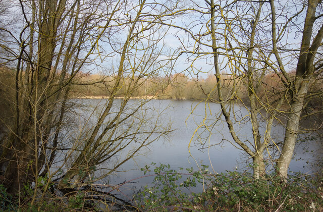
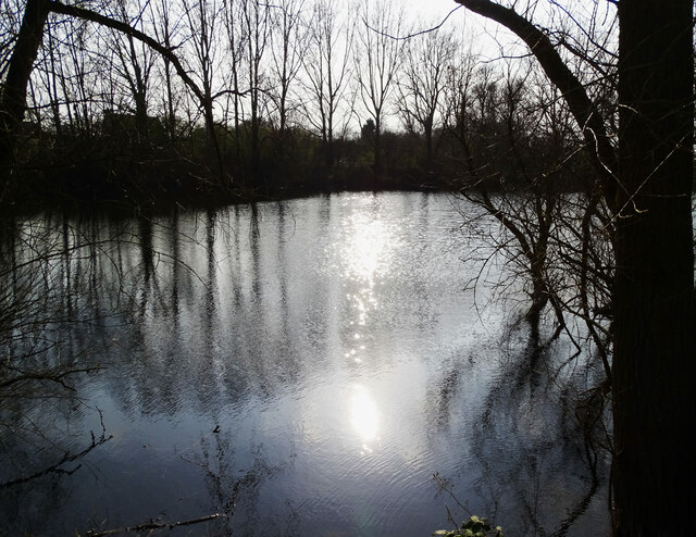
The woodland is characterized by a diverse range of trees, including oak, beech, and birch, which create a dense and lush canopy overhead. This provides a habitat for a variety of wildlife, such as deer, foxes, and numerous bird species. The plantation is particularly known for its vibrant bird population, making it a haven for birdwatchers.
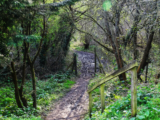
Furzy Knoll Plantation offers a network of well-maintained trails that wind through the woodland. These paths provide visitors with the opportunity to immerse themselves in the natural beauty of the surroundings. The plantation also features a picnic area, where visitors can relax and enjoy a meal amidst the peaceful ambience of the forest.
Visiting Furzy Knoll Plantation during different seasons can be a unique experience, as the woodland undergoes stunning transformations. In the spring, the forest floor is adorned with a carpet of colorful wildflowers, while in the autumn, the trees display an array of vibrant hues as their leaves change color.
The plantation is easily accessible, with ample parking available for visitors. It is a popular destination for families, nature enthusiasts, and those seeking a peaceful retreat away from the hustle and bustle of everyday life. Furzy Knoll Plantation offers a chance to reconnect with nature and enjoy the natural wonders of Oxfordshire's woodlands.
If you have any feedback on the listing, please let us know in the comments section below.
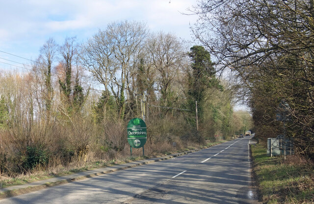
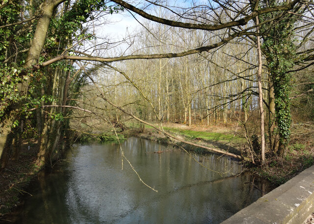
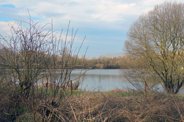
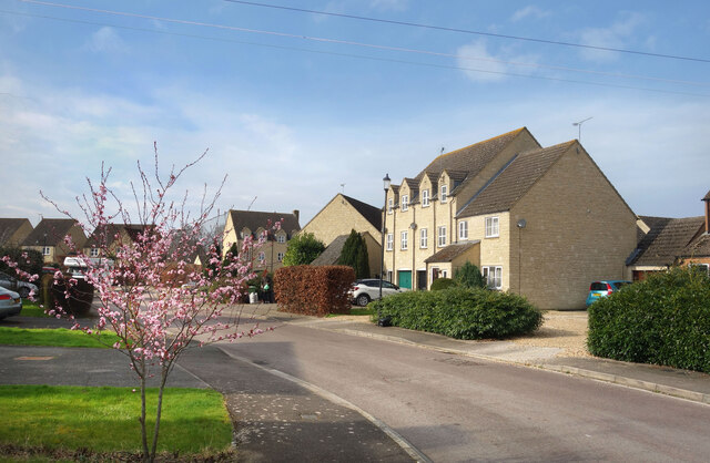
Furzy Knoll Plantation Images
Images are sourced within 2km of 51.718479/-1.67395 or Grid Reference SP2202. Thanks to Geograph Open Source API. All images are credited.


Furzy Knoll Plantation is located at Grid Ref: SP2202 (Lat: 51.718479, Lng: -1.67395)
Administrative County: Oxfordshire
District: West Oxfordshire
Police Authority: Thames Valley
What 3 Words
///acquaint.daylight.retract. Near Lechlade, Gloucestershire
Nearby Locations
Related Wikis
Little Faringdon
Little Faringdon is a village and civil parish in West Oxfordshire, about 1 mile (1.6 km) north of Lechlade in neighbouring Gloucestershire. The 2001 Census...
Broughton Poggs
Broughton Poggs is a village in the civil parish of Filkins and Broughton Poggs in West Oxfordshire. Broughton Poggs is 3 miles (5 km) southwest of Carterton...
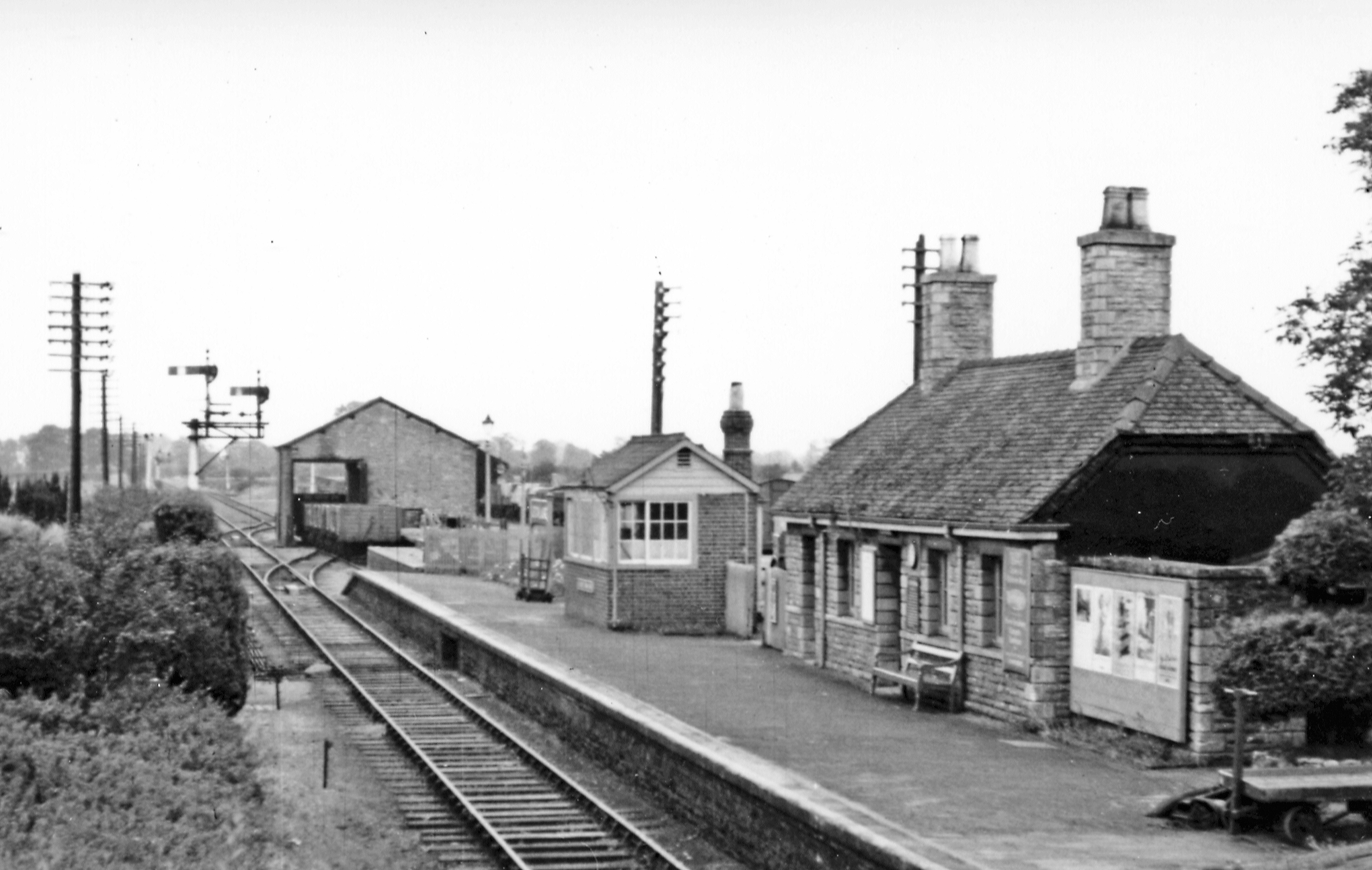
Lechlade railway station
Lechlade railway station served the small town of Lechlade in Gloucestershire, England. The station was on the Oxford, Witney and Fairford Railway, between...

Filkins and Broughton Poggs
Filkins and Broughton Poggs is a civil parish in West Oxfordshire, on the Oxfordshire county boundary with Gloucestershire. The parish includes the villages...

Langford, Oxfordshire
Langford is a village and civil parish in West Oxfordshire, about 3 miles (5 km) northeast of Lechlade in neighbouring Gloucestershire. The 2011 Census...
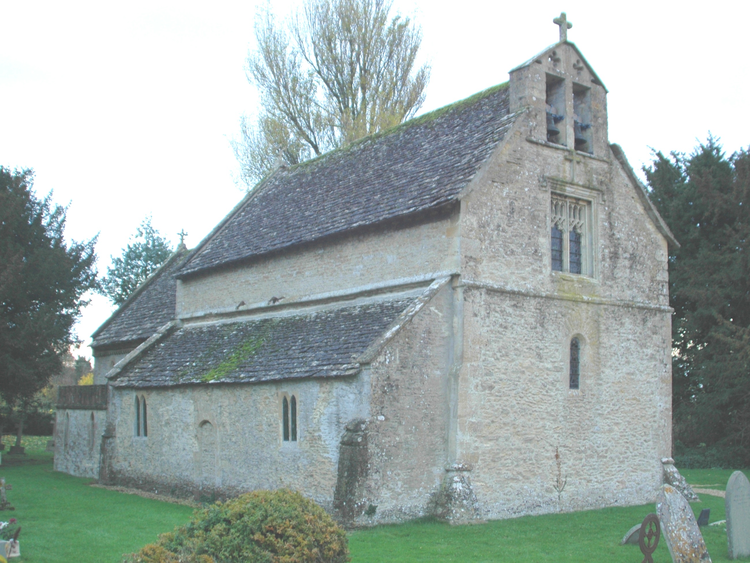
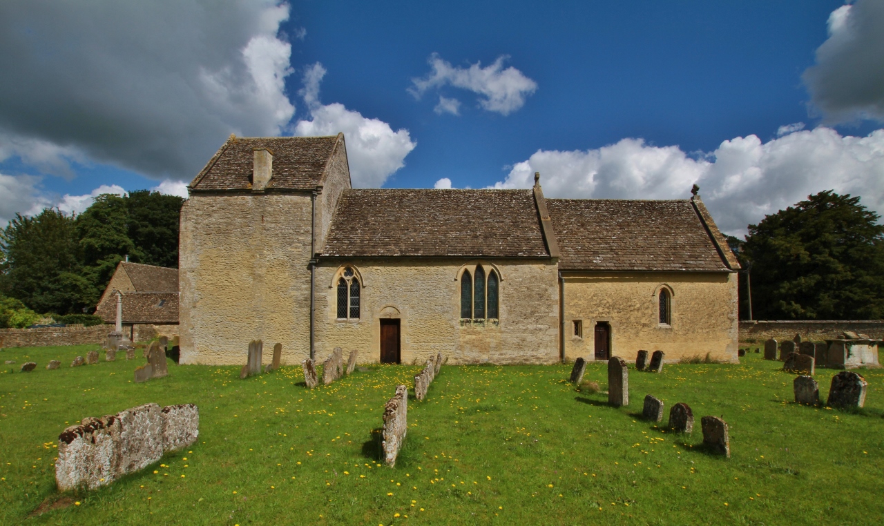
St Matthew's Church, Langford
The Parish Church of Saint Matthew, Langford is the Church of England parish church of Langford, a village in West Oxfordshire about 3 miles (5 km) northeast...

Filkins
For people with the surname, see Filkins (surname). Filkins is a village in the civil parish of Filkins and Broughton Poggs, about 2.5 miles (4 km) southwest...
Swinford Museum
The Swinford Museum is a small museum in the village of Filkins, west Oxfordshire, England.The collection covers local domestic, agricultural, trade and...
Nearby Amenities
Located within 500m of 51.718479,-1.67395Have you been to Furzy Knoll Plantation?
Leave your review of Furzy Knoll Plantation below (or comments, questions and feedback).