York Wood
Wood, Forest in Yorkshire Harrogate
England
York Wood
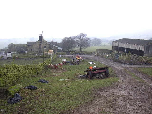
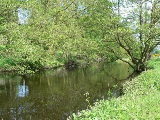
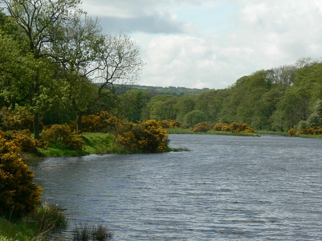
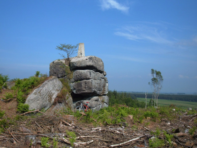
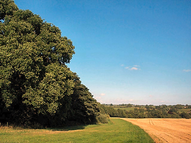
York Wood is a picturesque forest located in the county of Yorkshire, England. Covering an expansive area, it is known for its dense woodland, diverse wildlife, and scenic beauty. The forest is situated on the outskirts of the historic city of York, providing a tranquil escape from the bustling urban environment.
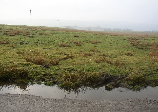
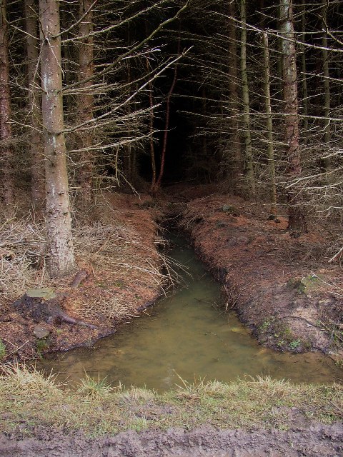
The wood is predominantly composed of deciduous and evergreen trees, creating a rich and varied ecosystem. Visitors can expect to encounter a wide range of flora and fauna, including oak, beech, and birch trees, as well as an array of wildflowers and ferns. The forest floor is often carpeted with vibrant moss and lichen, adding to its enchanting allure.
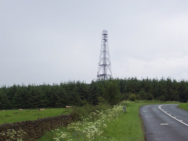
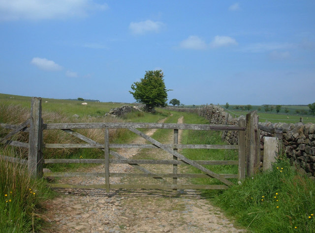
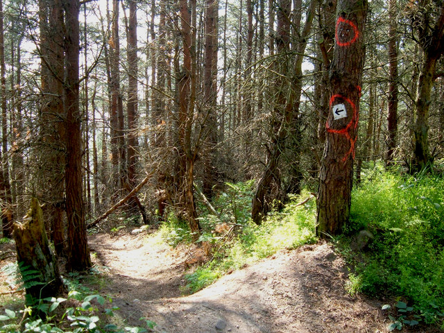
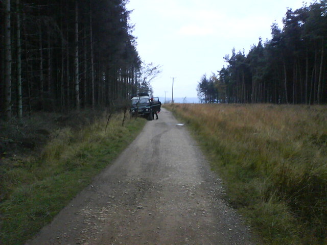
York Wood is renowned for its recreational opportunities, attracting nature enthusiasts and outdoor adventurers alike. Numerous well-maintained trails wind their way through the forest, allowing visitors to explore its hidden corners and discover its natural wonders. Birdwatchers will delight in the opportunity to spot various species of birds, such as woodpeckers, owls, and thrushes, while animal lovers may encounter rabbits, squirrels, and even deer.
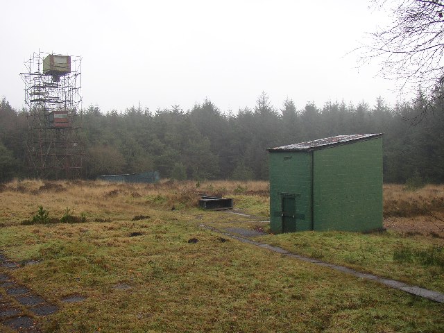
The forest also serves as a valuable habitat for a variety of endangered species, contributing to its ecological significance. Conservation efforts have been put in place to protect and preserve the delicate balance of the wood's ecosystem.
Overall, York Wood offers a serene and captivating experience for individuals seeking solace in nature. Its lush greenery, diverse wildlife, and peaceful ambiance make it a must-visit destination for nature lovers and those looking to escape the rigors of city life.
If you have any feedback on the listing, please let us know in the comments section below.
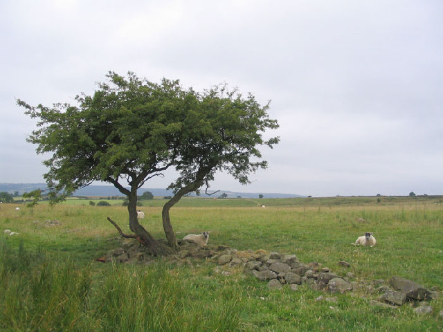
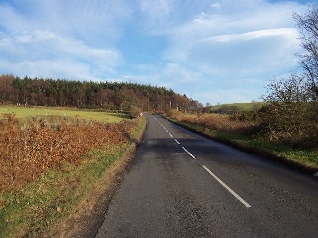
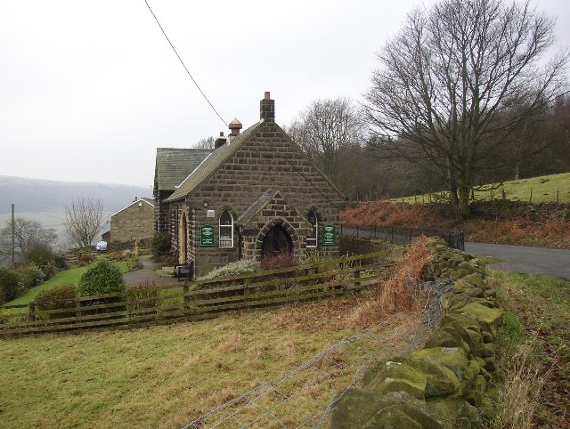
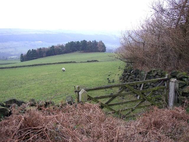
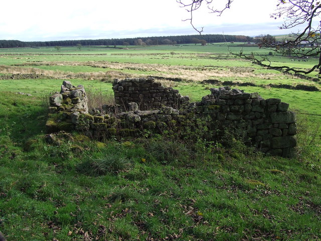
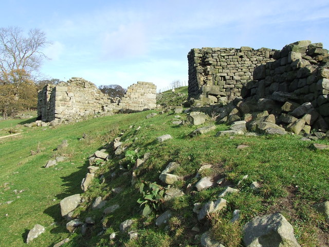
York Wood Images
Images are sourced within 2km of 53.945797/-1.6667194 or Grid Reference SE2150. Thanks to Geograph Open Source API. All images are credited.

York Wood is located at Grid Ref: SE2150 (Lat: 53.945797, Lng: -1.6667194)
Division: West Riding
Administrative County: North Yorkshire
District: Harrogate
Police Authority: North Yorkshire
What 3 Words
///expansion.proven.shop. Near Stainburn, North Yorkshire
Nearby Locations
Related Wikis
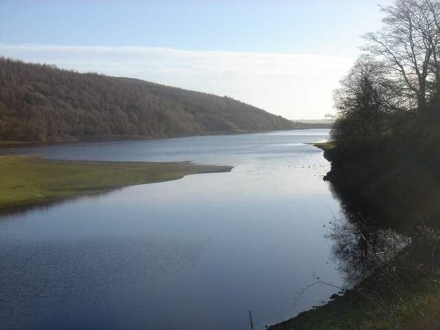
Lindley Wood Reservoir
Lindley Wood Reservoir is located in the Washburn valley north of Otley in Yorkshire, England. == History == The reservoir was built by navvies between...

Wharfedale Rural District
Wharfedale was a rural district in the West Riding of Yorkshire from 1894 to 1974. It comprised the northern side of lower Wharfedale, the lower Washburn...
Lindley, North Yorkshire
Lindley is a village and civil parish in the Harrogate district of North Yorkshire, England. It is near Lindley Wood Reservoir and 1 mile north of Otley...
Farnley, North Yorkshire
Farnley is a village and civil parish in the Harrogate district of North Yorkshire, England, near Otley, West Yorkshire. The name "Farnley" indicates that...
Newall with Clifton
Newall with Clifton (historically also spelt Newell with Clifton) is a civil parish in North Yorkshire, England. It lies two miles north of Otley in West...

Braythorn
Braythorn is a village in the Harrogate district of North Yorkshire, England.

Farnley Hall, North Yorkshire
Farnley Hall is a stately home in Farnley, North Yorkshire, England. It is located near Otley. The original early seventeenth-century house was added to...

Norwood, North Yorkshire
Norwood is a civil parish in the Harrogate district of North Yorkshire, England. According to the 2001 UK census, Norwood parish had a population of 200...
Nearby Amenities
Located within 500m of 53.945797,-1.6667194Have you been to York Wood?
Leave your review of York Wood below (or comments, questions and feedback).