Hopkinson's Gill
Lake, Pool, Pond, Freshwater Marsh in Yorkshire Harrogate
England
Hopkinson's Gill
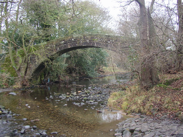
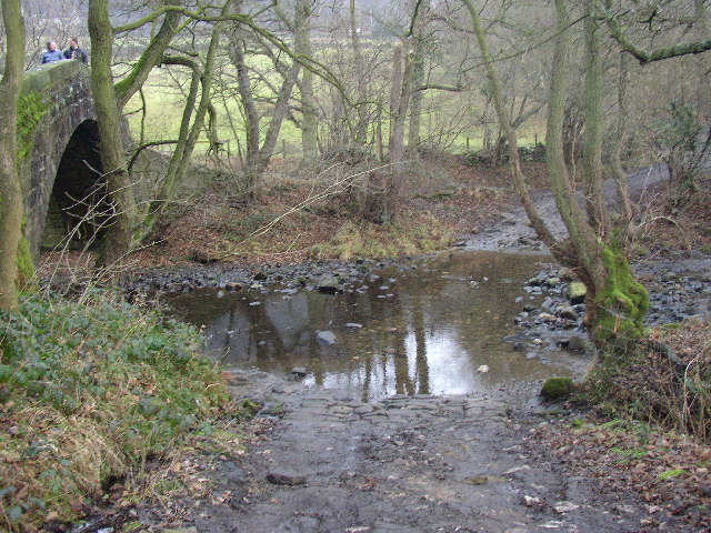
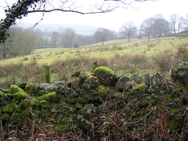
Hopkinson's Gill is a picturesque freshwater marsh located in the county of Yorkshire, England. Nestled amidst the rolling hills and verdant landscapes, this enchanting location offers a serene and tranquil retreat for nature enthusiasts and avid birdwatchers alike.
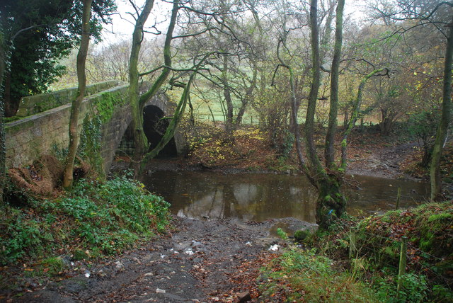
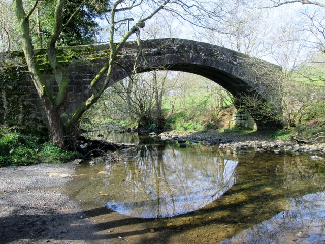
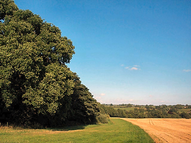
The gill itself is a small lake, often referred to as a pool or pond due to its size and calm waters. It stretches across an area of approximately 2 acres, encompassing a diverse range of aquatic flora and fauna. The freshwater marsh surrounding the gill further enhances its natural beauty, providing a thriving habitat for a plethora of plant and animal species.
The aquatic vegetation includes water lilies, reeds, and various species of submerged plants, which lend a vibrant touch to the gill's surroundings. These plants not only contribute to the aesthetic appeal but also provide shelter and sustenance for an array of waterfowl and other aquatic creatures.
Hopkinson's Gill is especially renowned for its rich avian population. The gill serves as a vital stopping point and breeding ground for numerous bird species, including waterfowl like mallards, coots, and moorhens. It also attracts a variety of migratory birds, such as herons, kingfishers, and reed warblers, who seek refuge during their long journeys.
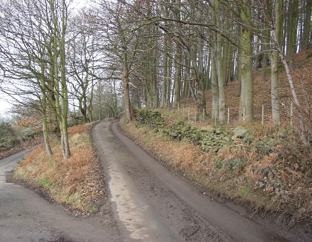
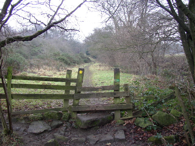
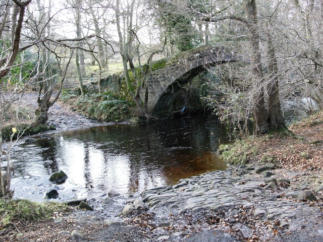
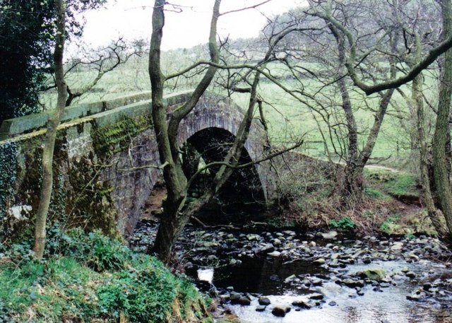
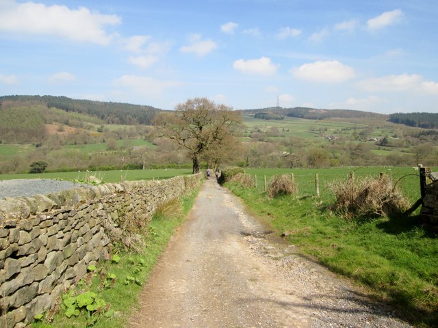
Visitors to Hopkinson's Gill can explore its beauty by walking along the well-maintained footpaths that encircle the gill. These paths offer excellent viewpoints for observing the diverse flora and fauna, while benches and picnic spots along the way provide opportunities for relaxation and contemplation.
In conclusion, Hopkinson's Gill is a stunning freshwater marsh that offers a delightful retreat for nature lovers. Its tranquil waters, lush vegetation, and abundant birdlife make it a haven for those seeking solace amidst Yorkshire's natural splendor.
If you have any feedback on the listing, please let us know in the comments section below.
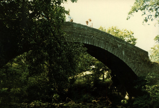
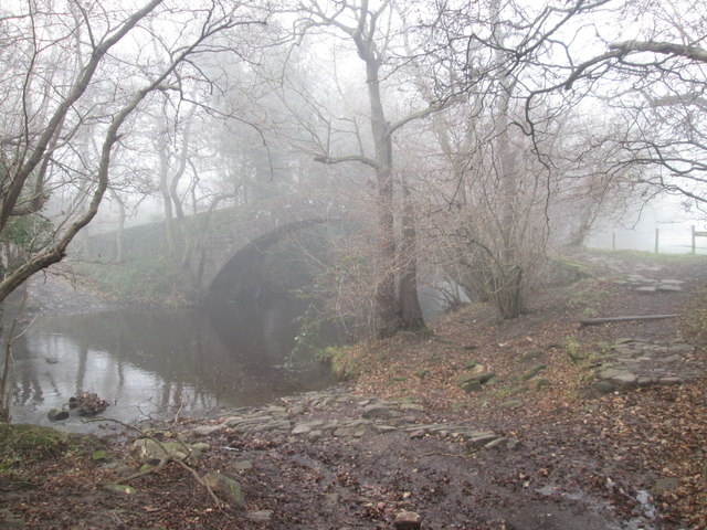
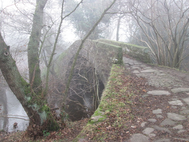
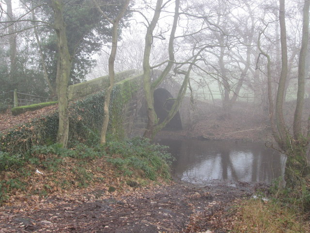
Hopkinson's Gill Images
Images are sourced within 2km of 53.948229/-1.6785691 or Grid Reference SE2150. Thanks to Geograph Open Source API. All images are credited.


Hopkinson's Gill is located at Grid Ref: SE2150 (Lat: 53.948229, Lng: -1.6785691)
Division: West Riding
Administrative County: North Yorkshire
District: Harrogate
Police Authority: North Yorkshire
What 3 Words
///unless.hogs.imprints. Near Stainburn, North Yorkshire
Nearby Locations
Related Wikis
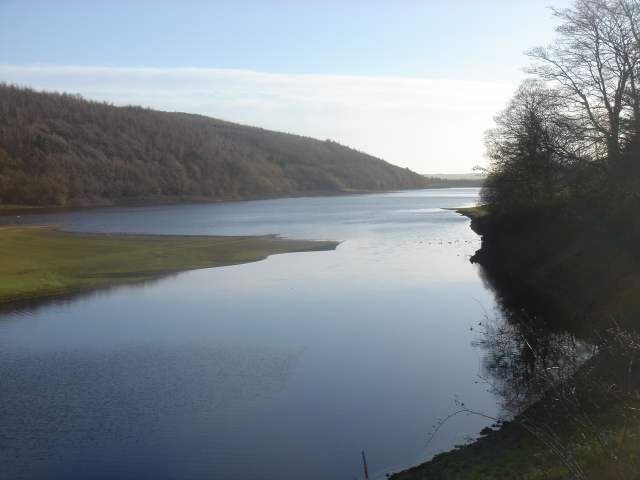
Lindley Wood Reservoir
Lindley Wood Reservoir is located in the Washburn valley north of Otley in Yorkshire, England. == History == The reservoir was built by navvies between...

Wharfedale Rural District
Wharfedale was a rural district in the West Riding of Yorkshire from 1894 to 1974. It comprised the northern side of lower Wharfedale, the lower Washburn...
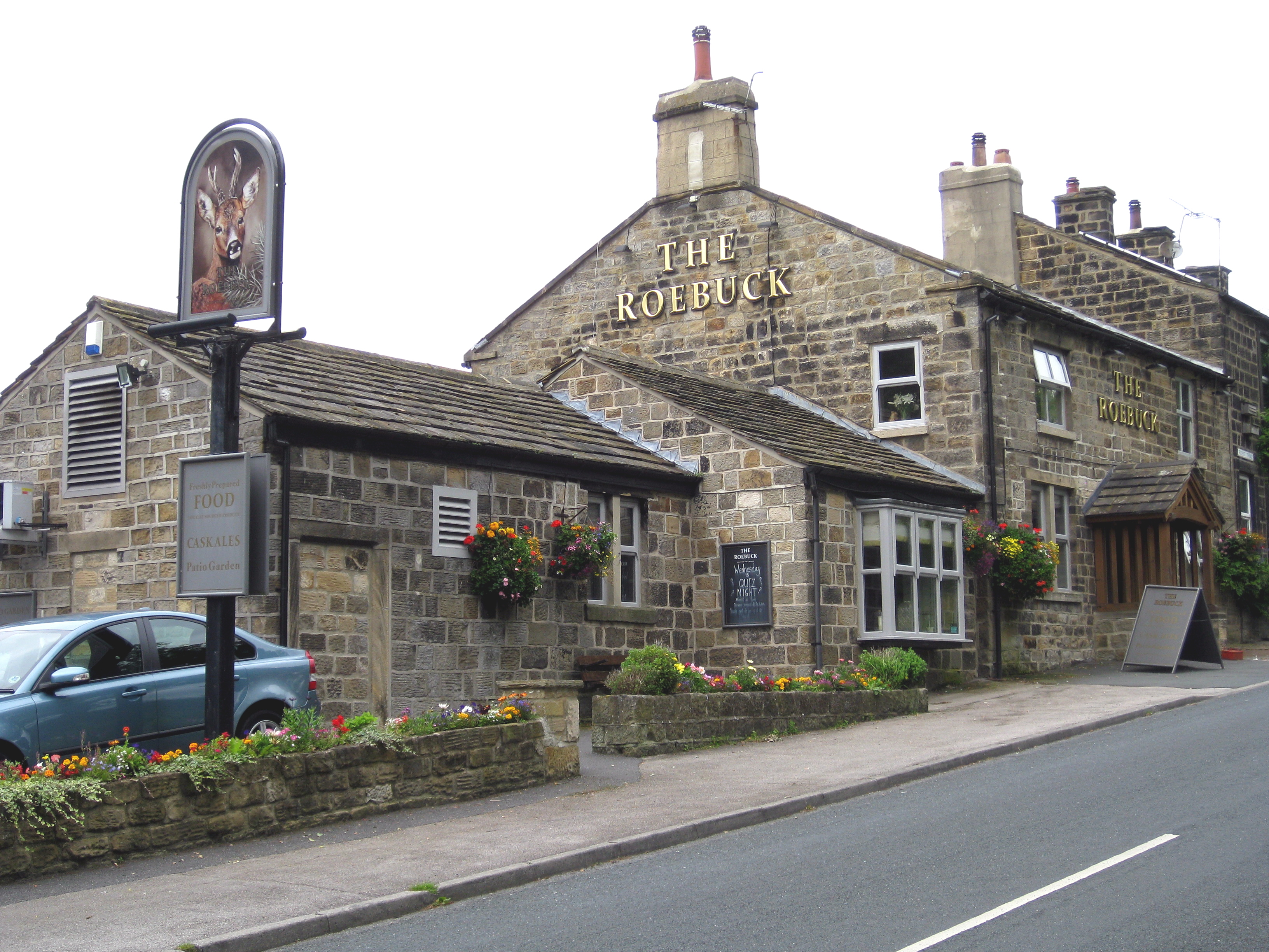
Farnley, North Yorkshire
Farnley is a village and civil parish in the Harrogate district of North Yorkshire, England, near Otley, West Yorkshire. The name "Farnley" indicates that...
Newall with Clifton
Newall with Clifton (historically also spelt Newell with Clifton) is a civil parish in North Yorkshire, England. It lies two miles north of Otley in West...

Norwood, North Yorkshire
Norwood is a civil parish in the Harrogate district of North Yorkshire, England. According to the 2001 UK census, Norwood parish had a population of 200...
Lindley, North Yorkshire
Lindley is a village and civil parish in the Harrogate district of North Yorkshire, England. It is near Lindley Wood Reservoir and 1 mile north of Otley...

Farnley Hall, North Yorkshire
Farnley Hall is a stately home in Farnley, North Yorkshire, England. It is located near Otley. The original early seventeenth-century house was added to...
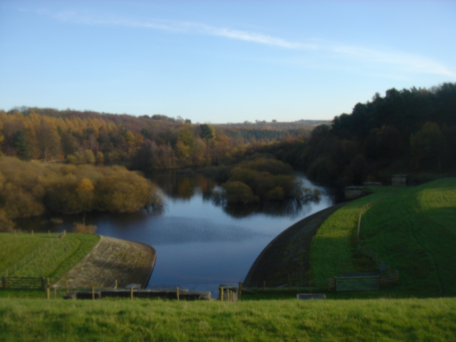
Swinsty Reservoir
Swinsty Reservoir is a reservoir in the Washburn valley north of Otley and west of Harrogate in Yorkshire, England. Construction began in 1871 and was...
Nearby Amenities
Located within 500m of 53.948229,-1.6785691Have you been to Hopkinson's Gill?
Leave your review of Hopkinson's Gill below (or comments, questions and feedback).