Darnhall Mains

Settlement in Peeblesshire

Scotland

Darnhall Mains

Sheep at Boreland Drizzly weather at this hill farm below Dundreich.
Sheep at Boreland Credit: Jim Barton

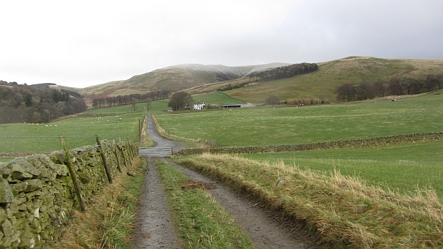
Darnhall Mains is a small rural hamlet located in Peeblesshire, Scotland. Situated in the southern part of the country, it is nestled amidst picturesque rolling hills and lush green landscapes. Darnhall Mains is known for its tranquil and idyllic setting, making it an ideal place for those seeking a peaceful retreat away from the hustle and bustle of city life.

The hamlet is primarily an agricultural area, with farming being the main occupation of its residents. The fertile soil and favorable climate in Darnhall Mains make it conducive for the cultivation of crops and rearing of livestock. As a result, the surrounding fields are often adorned with grazing sheep and cattle, adding to the charm of the countryside.

Despite its rural nature, Darnhall Mains is not completely isolated. It is conveniently situated only a few miles away from the town of Peebles, where residents can find a range of amenities such as shops, schools, and healthcare facilities. Additionally, the nearby River Tweed offers opportunities for recreational activities such as fishing and boating.

The community in Darnhall Mains is tight-knit, with friendly and welcoming residents who take pride in their surroundings. The hamlet is known for its sense of community spirit, with regular social gatherings and events organized by local groups. This fosters a strong sense of belonging and camaraderie among the residents.

Overall, Darnhall Mains is a charming and peaceful place, offering a serene countryside lifestyle amidst stunning natural beauty. It is a haven for those seeking respite from the urban chaos, while still providing access to essential amenities and a warm community spirit.

If you have any feedback on the listing, please let us know in the comments section below.

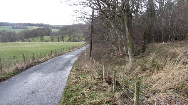
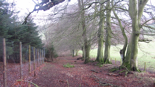
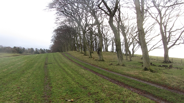
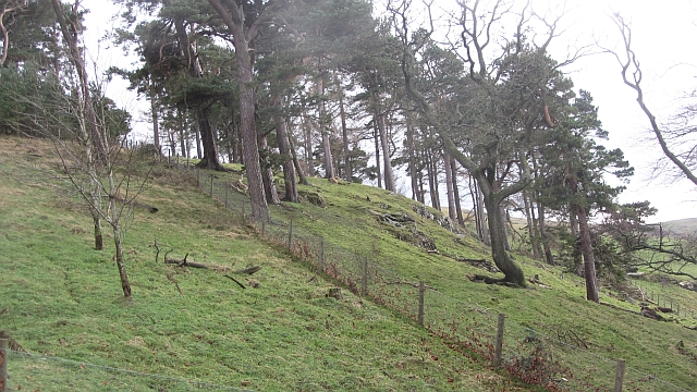
Darnhall Mains Images

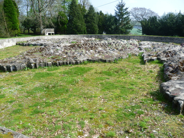
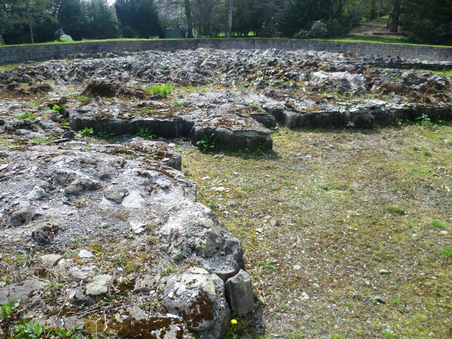
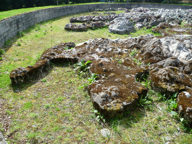
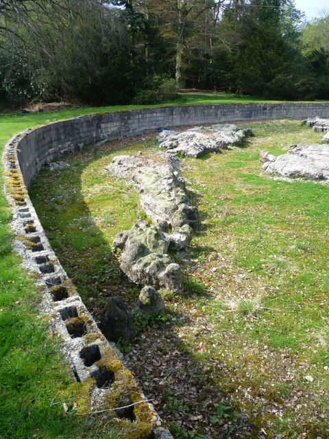
Images are sourced within 2km of 55.719437/-3.2113902 or Grid Reference NT2448. Thanks to Geograph Open Source API. All images are credited.

Sheep at Boreland Drizzly weather at this hill farm below Dundreich.
Sheep at Boreland
Drizzly weather at this hill farm below Dundreich.
Sheep near Eddleston Sheep grazing in a root crop field east of Eddleston. Barony Castle Hotel is dimly visible in the woodland beyond.
Sheep near Eddleston
Sheep grazing in a root crop field east of Eddleston. Barony Castle Hotel is dimly visible in the woodland beyond.
Barony Castle Hotel, Eddleston
Waterwheel on the Dean Burn
Old waterwheel at Barony Castle
Barony Castle map of Scotland, Eddleston When I heard that a topographical map of Scotland, carved in stone by Polish army veterans, existed in the grounds of the Barony Castle Hotel, I expected to find something the size of a dining table. I was taken aback on discovering the scale of this massive sculpture which is in fact made of moulded concrete. The viewing platform cannot do it justice until it is raised by another thirty feet at least to gain a good overview of the whole. Those who want the bird's eye view can find it on GoogleEarth at NT 23656 47179. Ground-level photographs fail to deliver the overall visual impact of the map on the beholder. This one is taken standing east of Caithness, looking south across the Moray Firth. For more about this remarkablea artefact, see <span class="nowrap"><a title="http://www.mapascotland.org/" rel="nofollow ugc noopener" href="http://www.mapascotland.org/">Link</a><img style="margin-left:2px;" alt="External link" title="External link - shift click to open in new window" src="https://s1.geograph.org.uk/img/external.png" width="10" height="10"/></span>
Barony Castle map of Scotland, Eddleston
When I heard that a topographical map of Scotland, carved in stone by Polish army veterans, existed in the grounds of the Barony Castle Hotel, I expected to find something the size of a dining table. I was taken aback on discovering the scale of this massive sculpture which is in fact made of moulded concrete. The viewing platform cannot do it justice until it is raised by another thirty feet at least to gain a good overview of the whole. Those who want the bird's eye view can find it on GoogleEarth at NT 23656 47179. Ground-level photographs fail to deliver the overall visual impact of the map on the beholder. This one is taken standing east of Caithness, looking south across the Moray Firth. For more about this remarkablea artefact, see LinkExternal link
Barony Castle map of Scotland, Forth Estuary and Fife For an explanation of the map, see <span class="nowrap"><a title="https://en.wikipedia.org/wiki/Great_Polish_Map_of_Scotland" rel="nofollow ugc noopener" href="https://en.wikipedia.org/wiki/Great_Polish_Map_of_Scotland">Link</a><img style="margin-left:2px;" alt="External link" title="External link - shift click to open in new window" src="https://s1.geograph.org.uk/img/external.png" width="10" height="10"/></span>
Barony Castle map of Scotland, Forth Estuary and Fife
For an explanation of the map, see LinkExternal link
Barony Castle map of Scotland, Galloway
Barony Castle map of Scotland, Outer Hebrides
Barony Castle map of Scotland, Isle of Lewis
Row of Cottages at Harcus North of Eddleston in Peeblesshire.
Row of Cottages at Harcus
North of Eddleston in Peeblesshire.
The church, Eddleston Looking over what looks like the site of a demolished house towards the church.
The church, Eddleston
Looking over what looks like the site of a demolished house towards the church.
Boreland An untarred farm road soon joins the tarred main access for the farm. There is a dusting on Dundreich in the background.
Boreland
An untarred farm road soon joins the tarred main access for the farm. There is a dusting on Dundreich in the background.
Road to Boreland A farm access road, it passes The Grove,a deciduous woodland which contained a calling nuthatch.
Road to Boreland
A farm access road, it passes The Grove,a deciduous woodland which contained a calling nuthatch.
The Grove Woodland, mostly deciduous with oaks beyond the conifers, left.
The Grove
Woodland, mostly deciduous with oaks beyond the conifers, left.
Strip wood, Boreland A beech strip.
Strip wood, Boreland
A beech strip.
Dog Knowes Pine wood on a craggy hillside.
Dog Knowes
Pine wood on a craggy hillside.
Show me another place!

Darnhall Mains is located at Grid Ref: NT2448 (Lat: 55.719437, Lng: -3.2113902)

Unitary Authority: The Scottish Borders

Police Authority: The Lothians and Scottish Borders

What 3 Words

///branched.inflame.dial. Near Peebles, Scottish Borders

Nearby Locations

The Grove Darnhall Mains

Related Wikis

Darnhall Mains

Darnhall Mains is a farm and settlement off the A703, near Eddleston and the Eddleston Water in the Scottish Borders area of Scotland, in the former Peeblesshire...
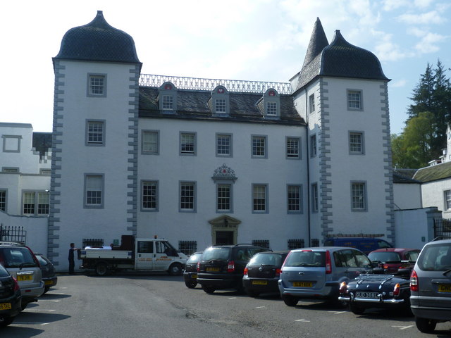
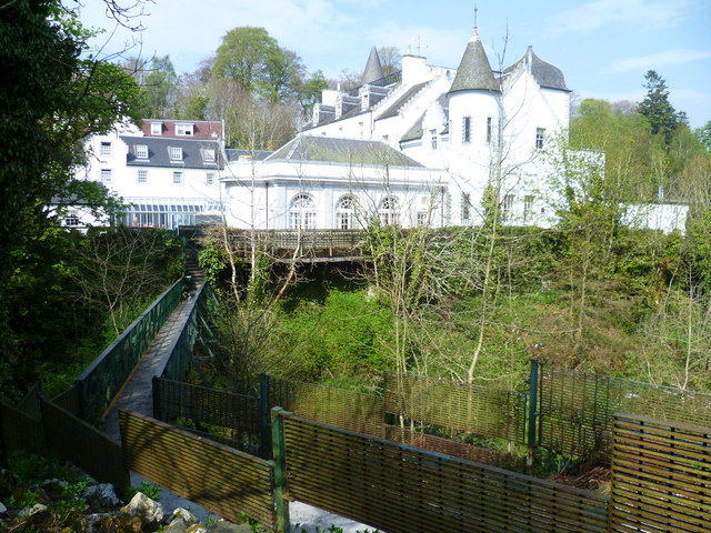
Black Barony

Barony Castle, also and formerly known as Black Barony, and Darnhall, is a historic house at Eddleston in the Scottish Borders area of Scotland. The house...

Eddleston

Eddleston (Scottish Gaelic: Baile Ghille Mhoire) is a small village and civil parish in the Scottish Borders area of Scotland. It lies 4 miles (6.4 km...

Great Polish Map of Scotland

The Great Polish Map of Scotland is a large (50 m x 40 m) three-dimensional, outdoor concrete scale model of Scotland, located in the grounds of the Barony...

Nearby Amenities

Located within 500m of 55.719437,-3.2113902
Darnhall Crossing
Historic Railway: level_crossing
Lat/Long: 55.7210879/-3.2080522
Post Box
Collection Times: Mo-Fr 12:00; Sa 10:30
Operator: Royal Mail
Post Box Type: wall
Ref: EH45 20
Royal Cypher: GR
Royal Cypher Wikidata: Q33102273
Lat/Long: 55.7198192/-3.204006
Black Barony
Place: locality
Lat/Long: 55.7199284/-3.217299
Power: pole
Lat/Long: 55.7184413/-3.2130614
Power: pole
Lat/Long: 55.7184152/-3.213505
Power: pole
Lat/Long: 55.7183371/-3.2146529
Power: pole
Lat/Long: 55.7182601/-3.2158323
Power: pole
Lat/Long: 55.7181808/-3.216976
Power: pole
Lat/Long: 55.7181062/-3.2181513
Power: pole
Lat/Long: 55.7150242/-3.210794
Power: pole
Lat/Long: 55.7155085/-3.211656
Power: pole
Lat/Long: 55.7158721/-3.2123014
Power: pole
Lat/Long: 55.7162676/-3.2129931
Power: pole
Lat/Long: 55.7169889/-3.2130288
Power: pole
Lat/Long: 55.7177231/-3.2130456
Power: pole
Lat/Long: 55.719208/-3.2130772
Power: pole
Lat/Long: 55.7199706/-3.2130814
Power: pole
Lat/Long: 55.7207356/-3.213094
Power: pole
Lat/Long: 55.7210639/-3.2128484
Power: pole
Lat/Long: 55.7216462/-3.2124128
Power: pole
Lat/Long: 55.7223175/-3.2126315
Power: pole
Lat/Long: 55.7230789/-3.2128838
Power: pole
Lat/Long: 55.7209191/-3.2122509
Power: pole
Lat/Long: 55.7228942/-3.212272
Power: pole
Lat/Long: 55.7225603/-3.2111451
Power: pole
Lat/Long: 55.7221861/-3.2098626
Power: pole
Lat/Long: 55.7218214/-3.2085276
Power: pole
Lat/Long: 55.7217835/-3.2080567
Power: pole
Lat/Long: 55.7217101/-3.2068079
Power: pole
Lat/Long: 55.721645/-3.2055359
The data included in this document is from www.openstreetmap.org. The data is made available under ODbL.

Have you been to Darnhall Mains?

Leave your review of Darnhall Mains below (or comments, questions and feedback).