East Wood
Wood, Forest in Derbyshire Derbyshire Dales
England
East Wood

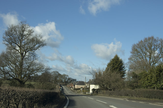
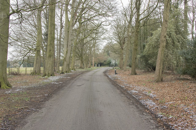
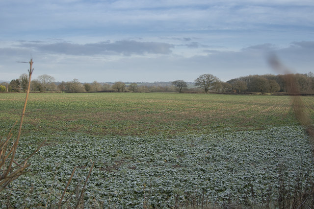
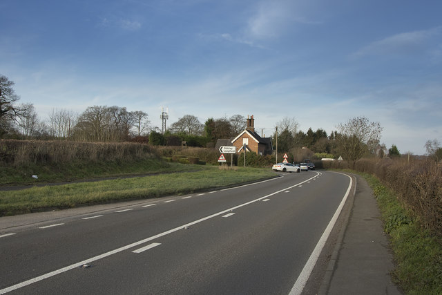
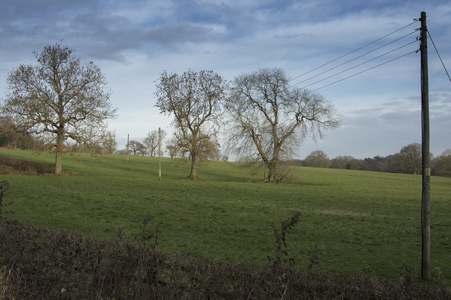
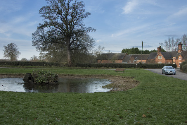
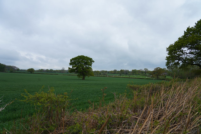
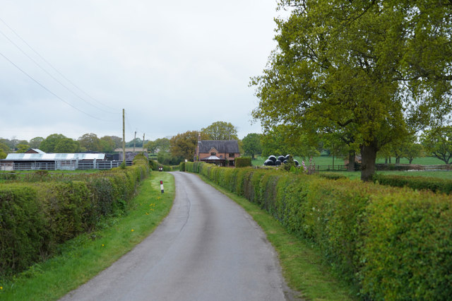
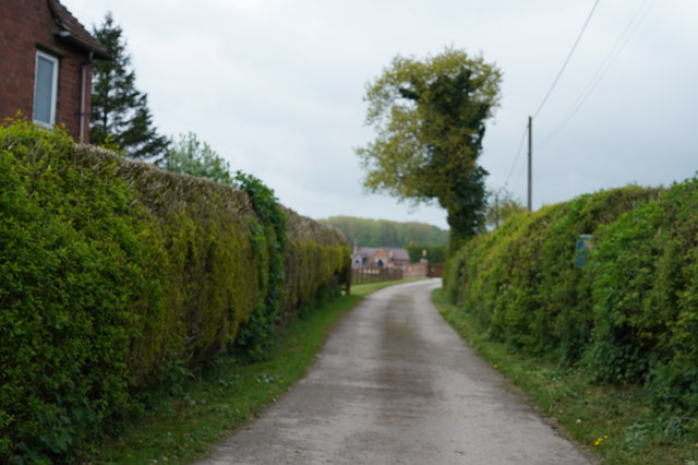
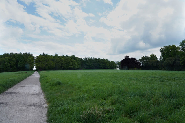
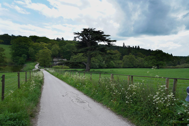
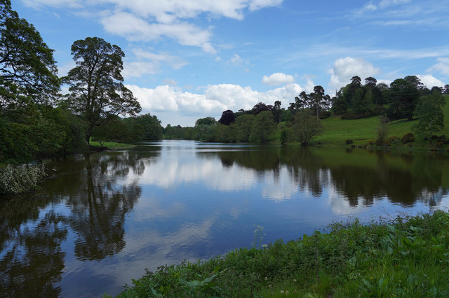
East Wood is a charming village located in the county of Derbyshire, England. Situated in the heart of the scenic Peak District, this idyllic settlement is surrounded by lush greenery and picturesque landscapes. As its name suggests, the village is known for its extensive woodlands and enchanting forests, making it a haven for nature enthusiasts and outdoor lovers.
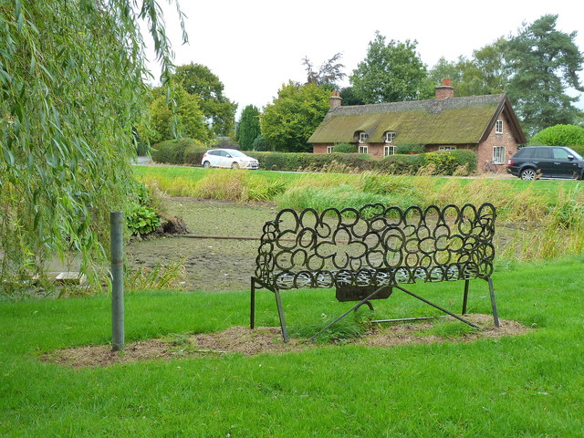
The village boasts a rich history, with evidence of human settlement dating back to Roman times. Today, East Wood is a thriving community that offers a peaceful and serene lifestyle to its residents. The village is known for its close-knit community spirit, with friendly locals who take pride in their surroundings.
East Wood is home to a range of amenities to cater to the needs of its residents. The village has a primary school, a village hall, and a local pub, providing a sense of community and a place for social gatherings. For everyday necessities, residents can visit the nearby town of Derby, which is just a short drive away.
Nature lovers will be delighted by the abundance of outdoor activities available in East Wood. The village is surrounded by stunning woodlands, offering endless opportunities for hiking, cycling, and exploring the natural beauty of the area. The nearby Peak District National Park also provides a wealth of outdoor pursuits, including rock climbing, fishing, and birdwatching.
In conclusion, East Wood is a picturesque village nestled in the scenic Derbyshire countryside. With its beautiful woodlands, strong sense of community, and proximity to the stunning Peak District, it is a truly desirable place to live or visit for those seeking a peaceful and nature-filled experience.
If you have any feedback on the listing, please let us know in the comments section below.
East Wood Images
Images are sourced within 2km of 52.984637/-1.6794009 or Grid Reference SK2143. Thanks to Geograph Open Source API. All images are credited.


East Wood is located at Grid Ref: SK2143 (Lat: 52.984637, Lng: -1.6794009)
Administrative County: Derbyshire
District: Derbyshire Dales
Police Authority: Derbyshire
What 3 Words
///perfected.outreach.alas. Near Ashbourne, Derbyshire
Nearby Locations
Related Wikis

Yeldersley
Yeldersley is a manor mentioned in the Domesday book. It is located near Ashbourne in Derbyshire. Today there is Yeldersley Hall. This hamlet had a population...

Yeldersley Hall, Derbyshire
Yeldersley Hall is a building of historical significance in Ashbourne, Derbyshire, England and is listed on the English Heritage Register. It was built...

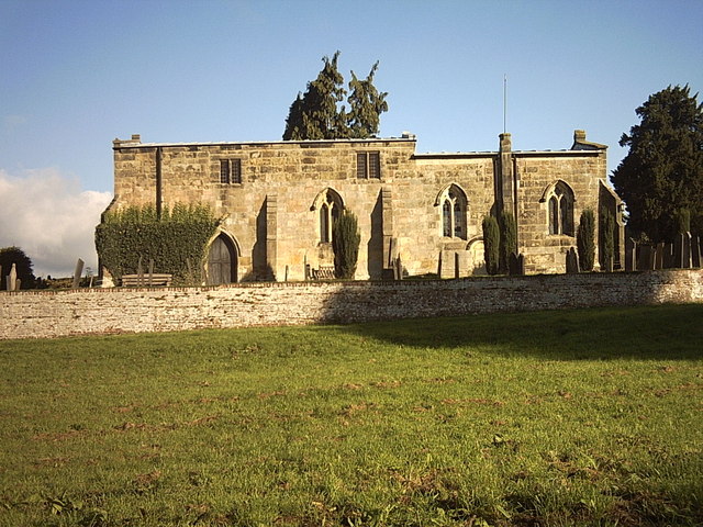
St Michael's Church, Shirley
St Michael's Church, Shirley is a Grade II* listed parish church in the Church of England: 318 in Shirley, Derbyshire. == History == The church dates...

Osmaston, Derbyshire Dales
Osmaston is a small village and civil parish in the Derbyshire Dales in the county of Derbyshire in England. The population of the civil parish as taken...

Shirley, Derbyshire
Shirley is a small village and civil parish in Derbyshire, 4 miles (6 km) south-east of Ashbourne. The population of the civil parish as taken at the 2011...

St Martin's Church, Osmaston
St Martin's Church, Osmaston is a Grade II* listed parish church in the Church of England: 295 in Osmaston, Derbyshire Dales. == History == The original...

Ednaston Manor
Ednaston Manor is a country house in Ednaston, near Brailsford, Derbyshire, England. It was built in 1912–19 in a Queen Anne style by Edwin Lutyens, for...
Bradley, Derbyshire
Bradley is a village and civil parish in Derbyshire just east of Ashbourne. The population of the civil parish taken at the 2011 Census was 313. Other...
Nearby Amenities
Located within 500m of 52.984637,-1.6794009Have you been to East Wood?
Leave your review of East Wood below (or comments, questions and feedback).