Grimstead Beeches
Wood, Forest in Wiltshire
England
Grimstead Beeches
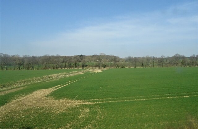
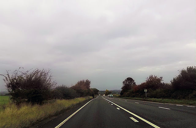
Grimstead Beeches is a scenic woodland located in Wiltshire, England. Encompassing an area of approximately 90 hectares, it is renowned for its natural beauty and diverse range of plant and animal species. The beech trees, which dominate the landscape, provide a visually stunning display throughout the year, with their vibrant leaves in the autumn and a lush green canopy in the summer.
The woodland is home to a variety of wildlife, making it a popular destination for nature enthusiasts and wildlife photographers. Visitors may catch a glimpse of roe deer, foxes, badgers, and a multitude of bird species, including woodpeckers, owls, and various woodland songbirds. The tranquil atmosphere of the beech forest offers a peaceful retreat for those seeking solace in nature.
Walking trails wind their way through the woodland, offering visitors the opportunity to explore and immerse themselves in the breathtaking surroundings. The paths are well-maintained, making it accessible for families with young children and individuals with limited mobility. Additionally, there are designated picnic areas for visitors to enjoy a leisurely lunch amidst the natural beauty.
Grimstead Beeches is a designated Site of Special Scientific Interest (SSSI), recognizing its importance for conservation and biodiversity. The woodland is managed by local authorities, who work tirelessly to preserve its natural habitat and protect the delicate ecosystem within.
Overall, Grimstead Beeches is a captivating woodland that showcases the beauty of nature in Wiltshire. Its picturesque landscapes, diverse wildlife, and well-maintained trails make it an ideal destination for nature lovers and those seeking an escape into the great outdoors.
If you have any feedback on the listing, please let us know in the comments section below.
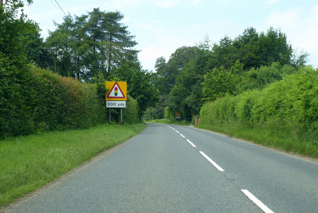
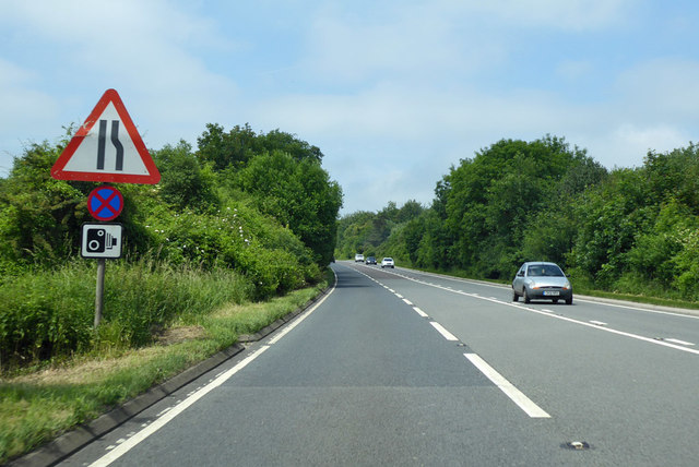
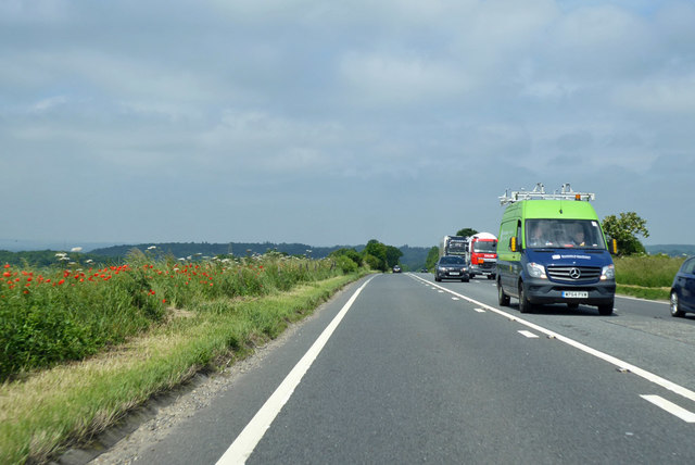
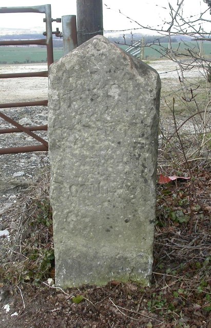
Grimstead Beeches Images
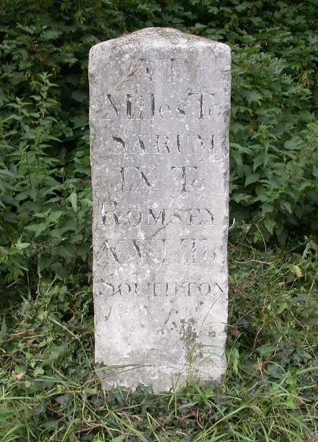
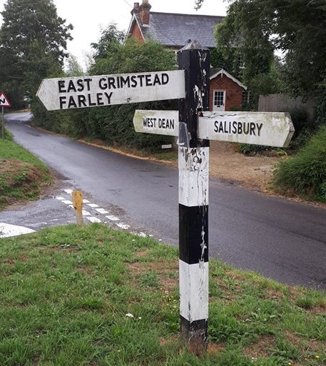
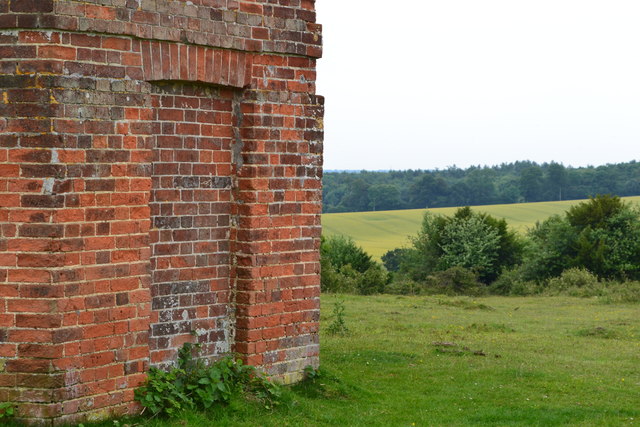
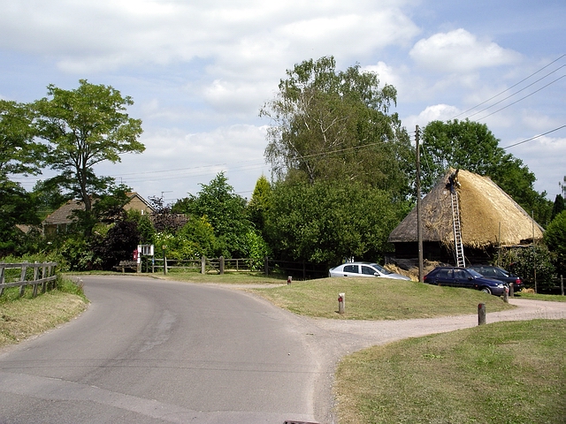
Images are sourced within 2km of 51.026737/-1.693096 or Grid Reference SU2125. Thanks to Geograph Open Source API. All images are credited.


Grimstead Beeches is located at Grid Ref: SU2125 (Lat: 51.026737, Lng: -1.693096)
Unitary Authority: Wiltshire
Police Authority: Wiltshire
What 3 Words
///shadows.hiring.settled. Near Alderbury, Wiltshire
Nearby Locations
Related Wikis

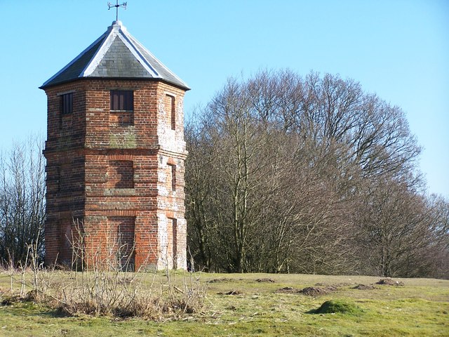
The Pepperbox
The Pepperbox, also known as Eyre's Folly, is a folly tower that stands near the highest point on Pepperbox Hill, the peak of a chalk ridge about 5 miles...

West Grimstead
West Grimstead is a village in the civil parish of Grimstead, on the River Dun in Wiltshire, England, about 4.5 miles (7.2 km) southeast of Salisbury....

Grimstead
Grimstead is a civil parish on the River Dun in Wiltshire, England, to the south-east of Salisbury. Its settlements are the villages of East Grimstead...
East Grimstead
East Grimstead is a village in the civil parish of Grimstead, on the River Dun in Wiltshire, England, about 5 miles (8.0 km) east of Salisbury. The village...

Brickworth Down and Dean Hill
Brickworth Down and Dean Hill (grid reference SU246259) is a 118.6 hectare biological Site of Special Scientific Interest in Wiltshire, notified in 1951...

Alderbury
Alderbury is a village and civil parish in Wiltshire, England, in the south of the county around 3 miles (5 km) southeast of Salisbury.The parish includes...

Witherington
Witherington is a small settlement in Wiltshire, England, in the extreme south-east of the county, a tithing of the civil parish of Downton. Although surveyed...

Trafalgar Park, Wiltshire
Trafalgar Park (also known as Trafalgar House, formerly Standlynch Park) is a large Georgian country house about 1.4 miles (2.3 km) northeast of the village...
Nearby Amenities
Located within 500m of 51.026737,-1.693096Have you been to Grimstead Beeches?
Leave your review of Grimstead Beeches below (or comments, questions and feedback).