Bellburn Wood
Wood, Forest in Durham
England
Bellburn Wood
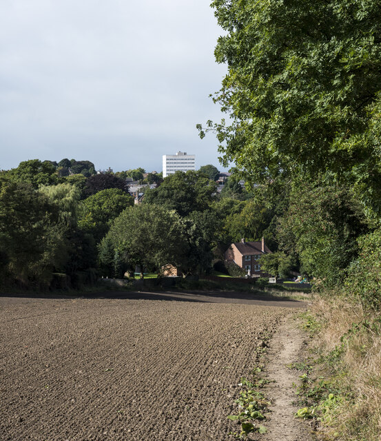
Bellburn Wood is a picturesque forest located in Durham, England. Covering an area of approximately 100 hectares, it is a popular destination for nature enthusiasts and outdoor lovers. The wood is situated on the eastern side of the River Wear, near the village of Edmundbyers.
Bellburn Wood is characterized by its diverse range of tree species, including oak, birch, beech, and conifers. The variety of trees creates a rich and vibrant canopy, providing a haven for numerous wildlife species. Visitors to the wood can expect to encounter birds such as woodpeckers, owls, and various songbirds, as well as mammals like red squirrels and roe deer.
The forest offers a network of well-maintained trails, allowing visitors to explore and experience the natural beauty of the area. These paths wind through the wood, leading hikers and walkers past tranquil streams, charming glades, and peaceful ponds. The wood also features several picnic areas, providing a perfect spot for visitors to relax and enjoy a meal amidst the serene surroundings.
Bellburn Wood is managed by the Durham Wildlife Trust, a local conservation organization dedicated to protecting and preserving the natural heritage of the county. The Trust actively works to maintain the wood's biodiversity, ensuring a sustainable habitat for the various flora and fauna that call it home.
Overall, Bellburn Wood is a delightful destination for anyone seeking a peaceful and enchanting woodland experience. With its stunning landscapes, abundant wildlife, and well-maintained trails, it offers a perfect escape into nature for visitors of all ages and interests.
If you have any feedback on the listing, please let us know in the comments section below.
Bellburn Wood Images
Images are sourced within 2km of 54.681428/-1.6665423 or Grid Reference NZ2131. Thanks to Geograph Open Source API. All images are credited.


Bellburn Wood is located at Grid Ref: NZ2131 (Lat: 54.681428, Lng: -1.6665423)
Unitary Authority: County Durham
Police Authority: Durham
What 3 Words
///fled.logs.reinstate. Near Hunwick, Co. Durham
Nearby Locations
Related Wikis
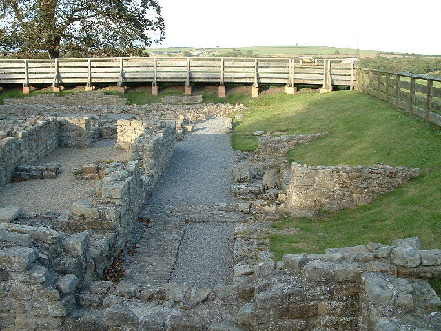
Vinovia
Vinovia or Vinovium was a Roman fort and settlement situated just over 1 mile (1.6 km) to the north of the town of Bishop Auckland on the banks of the...

River Gaunless
The Gaunless is a tributary river of the Wear in County Durham, England. Its name is Old Norse, meaning "useless". The Gaunless Viaduct, built in 1825...

Binchester
Binchester is a small village in County Durham, England. It has a population of 271. It is situated between Bishop Auckland, which is to the south, and...
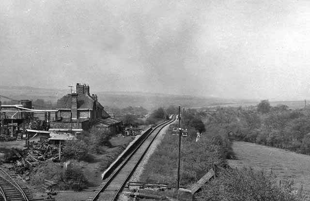
Byers Green railway station
Byers Green railway station was one of three railway stations that served in the village of Byers Green in County Durham, Northeast England. == History... ==

Auckland Castle
Auckland Castle, also known as Auckland Palace, is a former bishop's palace located in the town of Bishop Auckland in County Durham, England. The castle...
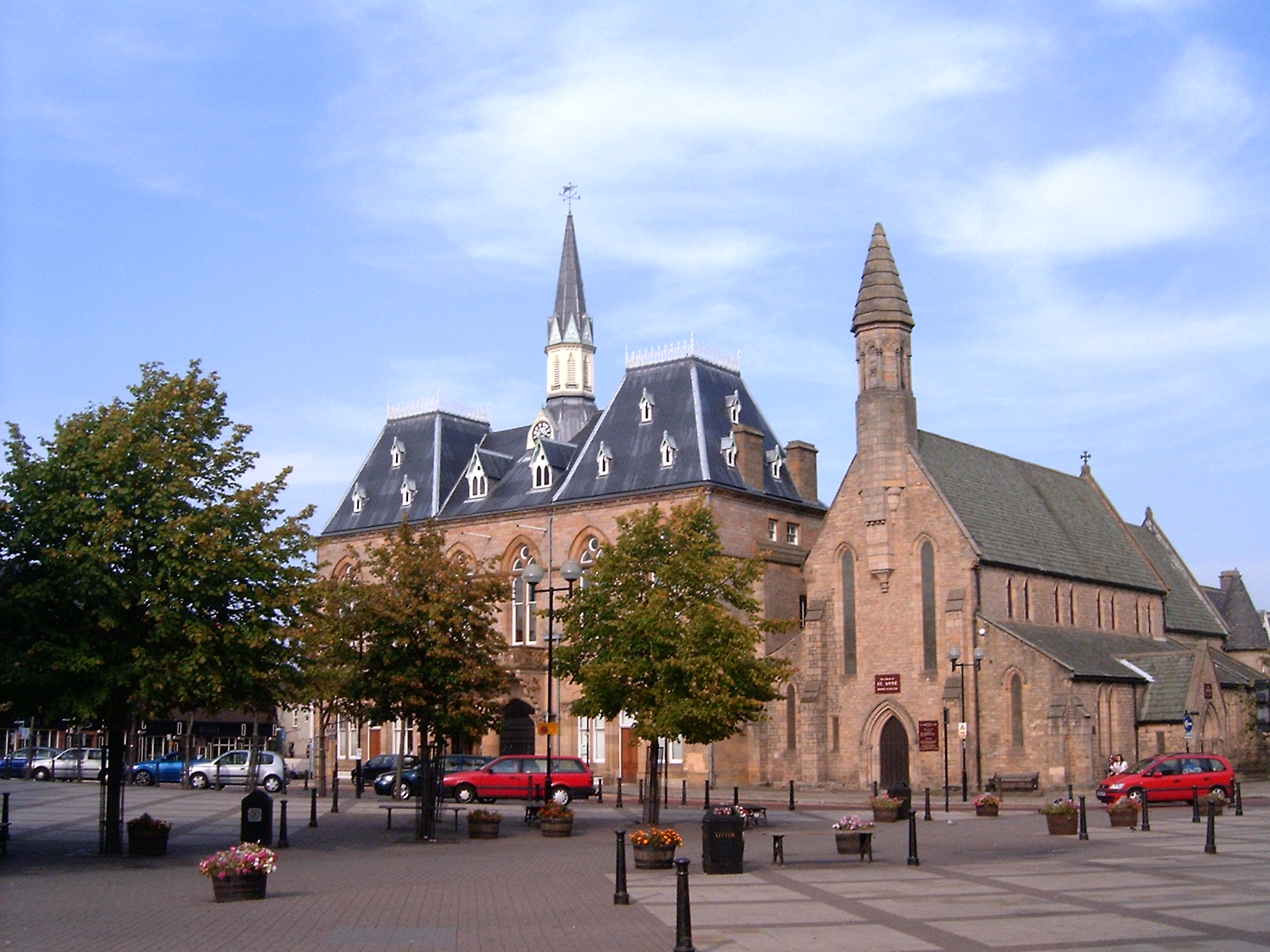
Bishop Auckland Town Hall
Bishop Auckland Town Hall is a municipal facility in the Market Place, Bishop Auckland, Co Durham, England. It is a Grade II* listed building. == History... ==
Hunwick railway station
Hunwick railway station served the village of Hunwick, County Durham, England from 1857 to 1964 on the Durham to Bishop Auckland Line. == History == The...

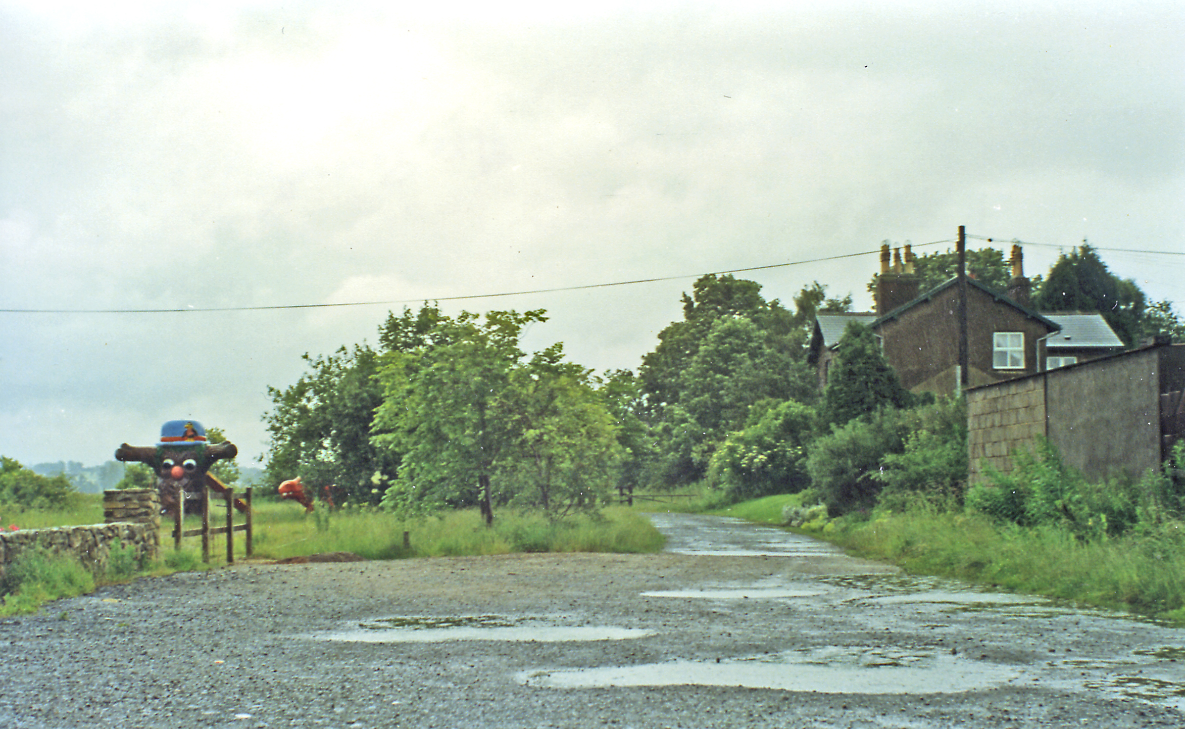
Todhills, County Durham
Todhills is a village in County Durham, in England. It is situated a few miles to the north of Bishop Auckland, between Newfield and Byers Green. ��2...
Related Videos

Beautiful New Zealand Tower #travel #art
My Travel to New Zealand #blogandvlogdifference #blogandaffiliatemarketing #blogandearnmoney #blogandvlog ...

Top 10 Things to do in Bishop Auckland
Bishop Auckland, located in County Durham, England, offers a variety of attractions and activities for visitors. Here are ten things ...


Nearby Amenities
Located within 500m of 54.681428,-1.6665423Have you been to Bellburn Wood?
Leave your review of Bellburn Wood below (or comments, questions and feedback).