Claypits Coppice
Wood, Forest in Warwickshire Warwick
England
Claypits Coppice
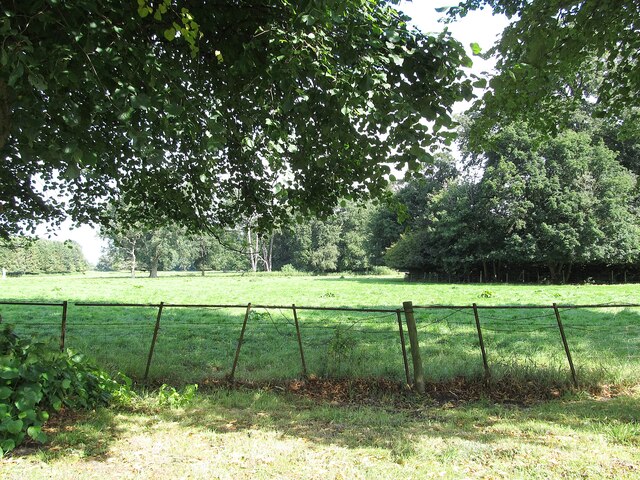
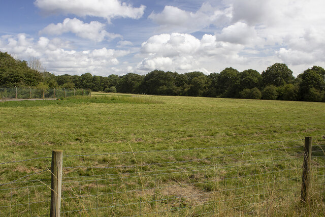
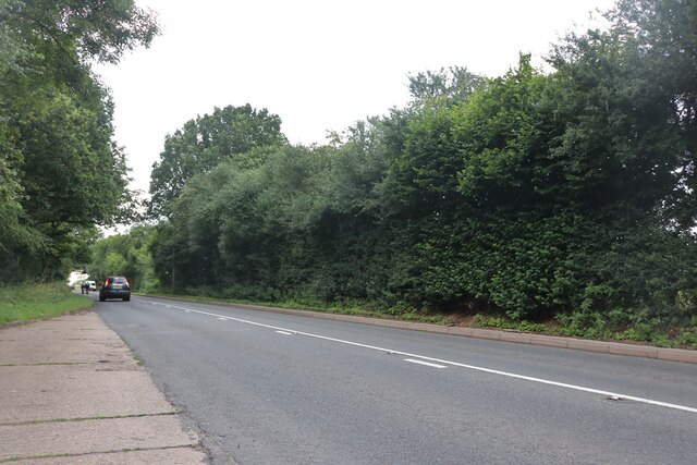
Claypits Coppice is a picturesque woodland located in Warwickshire, England. Spanning an area of approximately 50 acres, it is a popular destination for nature enthusiasts and outdoor lovers. The coppice is situated in the heart of the countryside, surrounded by rolling hills and meandering streams.
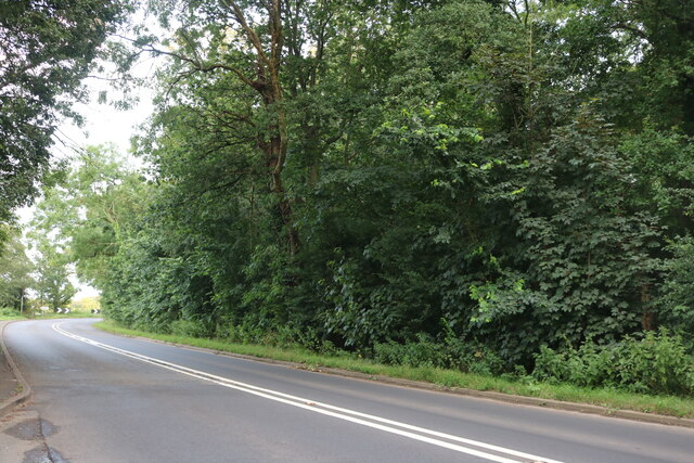
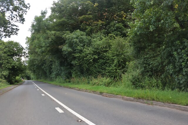
The woodland is predominantly composed of deciduous trees, including oak, ash, and beech, which create a dense canopy that provides shade and shelter for a diverse range of flora and fauna. The forest floor is covered with a rich carpet of wildflowers, such as bluebells and primroses, which bloom in vibrant colors during the spring season.
Walking through Claypits Coppice, visitors can enjoy a tranquil and peaceful atmosphere. The woodland is crisscrossed by a network of well-maintained footpaths, making it easily accessible for hikers and walkers of all abilities. These paths lead to various viewpoints, offering stunning vistas of the surrounding countryside.
The coppice is also home to a variety of wildlife, including several species of birds, butterflies, and small mammals. Birdwatchers can spot woodpeckers, nuthatches, and tawny owls among the tree branches, while squirrels and hedgehogs scurry through the undergrowth.
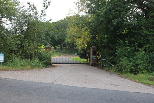
Managed by a local conservation organization, Claypits Coppice is a valuable habitat for both flora and fauna. It is regularly monitored and maintained to preserve its natural beauty and biodiversity. The woodland provides an excellent opportunity for visitors to connect with nature and enjoy the peacefulness of the countryside.
If you have any feedback on the listing, please let us know in the comments section below.
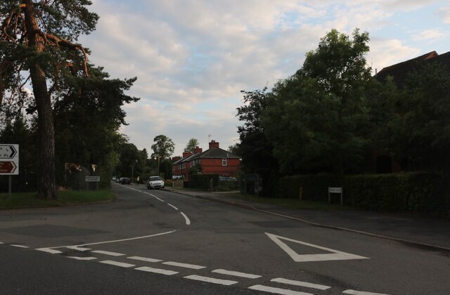
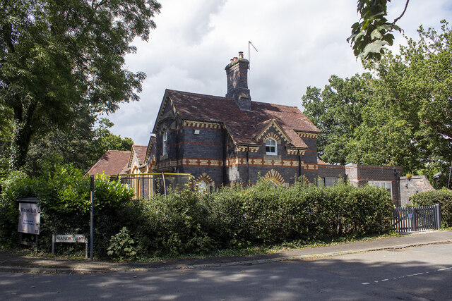
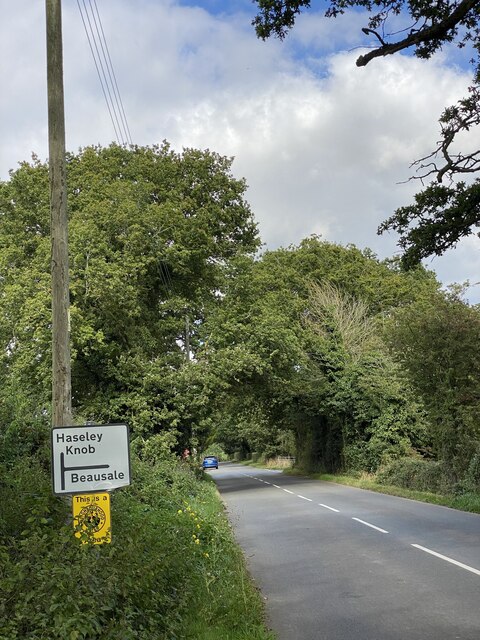
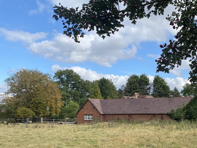
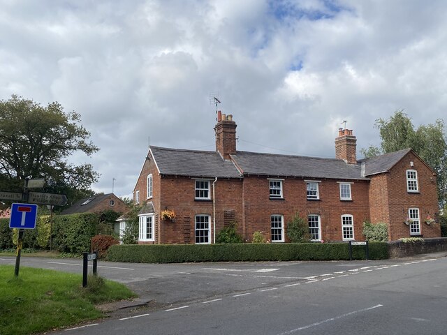
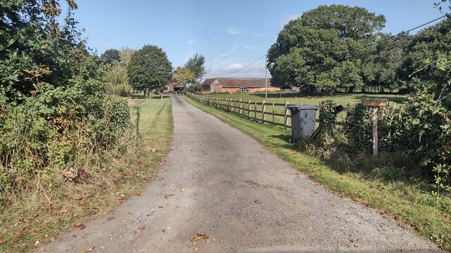
Claypits Coppice Images
Images are sourced within 2km of 52.336537/-1.6844123 or Grid Reference SP2170. Thanks to Geograph Open Source API. All images are credited.
Claypits Coppice is located at Grid Ref: SP2170 (Lat: 52.336537, Lng: -1.6844123)
Administrative County: Warwickshire
District: Warwick
Police Authority: Warwickshire
What 3 Words
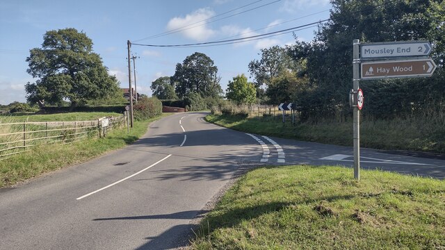
///reissued.grumble.view. Near Wroxall, Warwickshire
Nearby Locations
Related Wikis

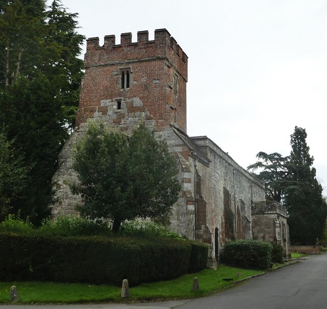
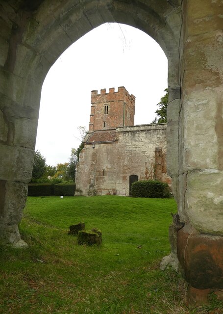
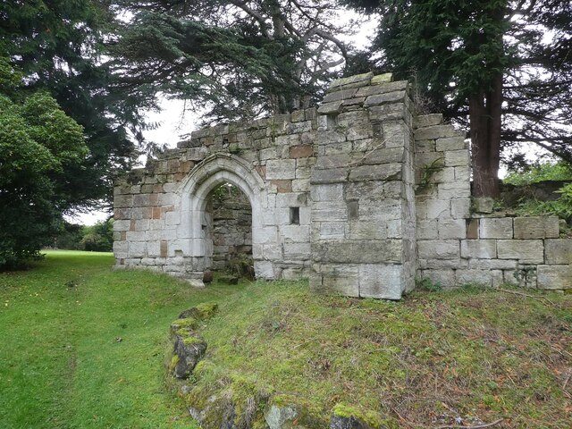
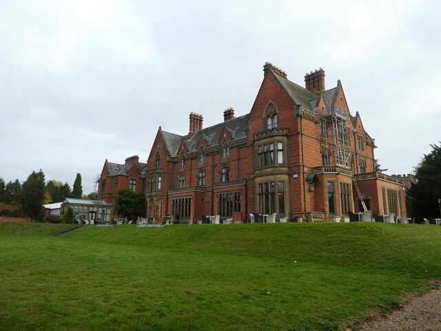
Wroxall Abbey
Wroxall Abbey is a substantial Victorian mansion house situated at Wroxall, Warwickshire which was converted for use as a hotel, spa, wedding venue and...

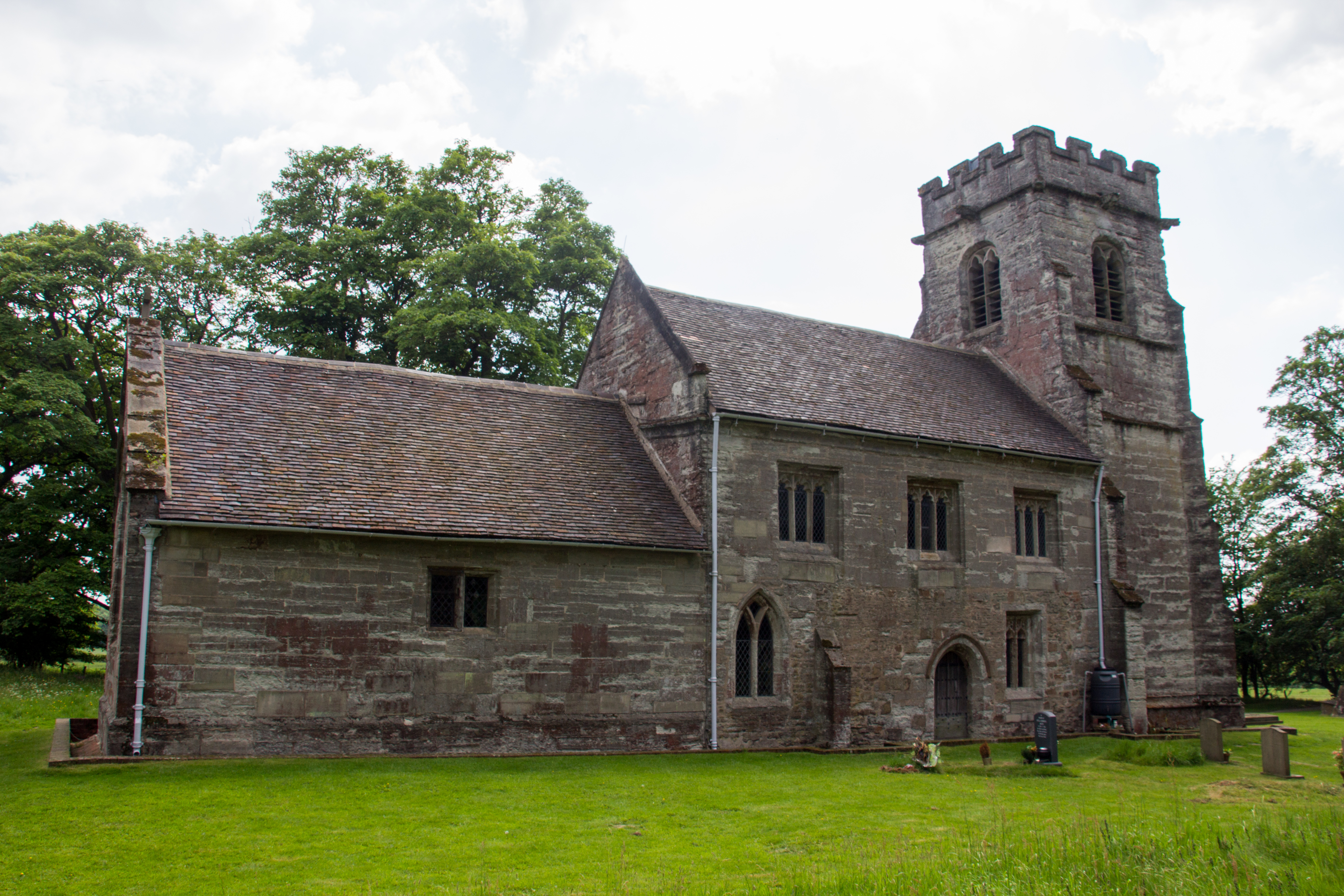
Wren's Cathedral
Wren's Cathedral, properly the Church of St Leonard and now a cathedral of the Communion of Evangelical Episcopal Churches, was originally the Lady Chapel...
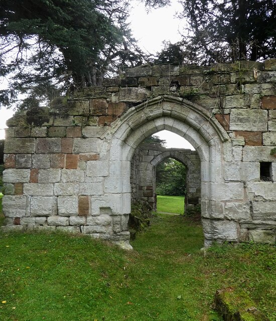
Wroxall Priory
Wroxall Priory was a medieval monastic house in Wroxall, Warwickshire, England. It was founded c.1135 by Hugh, Lord of Hatton and Wroxall in thanks for...

Wroxall, Warwickshire
Wroxall is a small village and former civil parish, now in the parish of Beausale, Haseley, Honiley and Wroxall, in the Warwick district, in the county...

Baddesley Clinton
Baddesley Clinton (grid reference SP199714) is a moated manor house, about 8 miles (13 km) north-west of the town of Warwick, in the village of Baddesley...
Baddesley Clinton (village)
Baddesley Clinton is a village and civil parish in Warwickshire, England, about 5+1⁄2 miles (9 km) southeast of Solihull. The village has Anglo-Saxon origins...
Chadwick End
Chadwick End is a small village which straddles the border of Warwickshire and the West Midlands Metropolitan Borough of Solihull, situated 3 miles (5...

Beausale, Haseley, Honiley and Wroxall
Beausale, Haseley, Honiley and Wroxall is a civil parish in the Warwick District of Warwickshire, England. It was created in 2007 by the merger of the...
Related Videos


Baddesley Clinton | National Trust Tour and Review | Days Out Near Birmingham
This week we visit National Trust Baddesley Clinton, near Birmingham to see what it's like and if you should go! Baddesley Clinton ...

Historic English House | Baddesley Clinton | National Trust 2023
A wander around Baddesley Clinton, a National Trust owned and maintained house in Solihull, West Midlands, UK. We'll take a ...
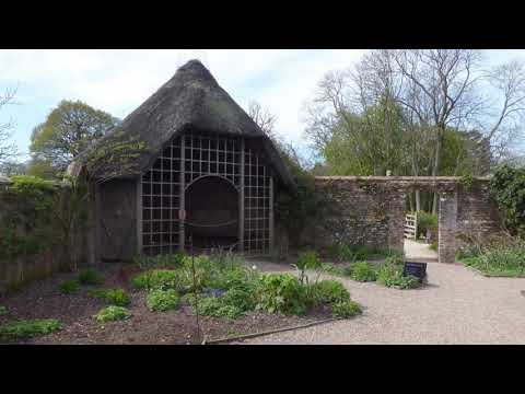
Baddesley Clinton, Warwickshire (National Trust). April 2021. Gardens and lakeside walk
Another lovely walk around the gardens and lake at Baddesley Clinton in Warwickshire. Not been before. House still not open so ...
Nearby Amenities
Located within 500m of 52.336537,-1.6844123Have you been to Claypits Coppice?
Leave your review of Claypits Coppice below (or comments, questions and feedback).