Binchester Plantation
Wood, Forest in Durham
England
Binchester Plantation
Binchester Plantation, located in Durham, England, is a historic site known for its captivating woodlands and enchanting forests. Spread across a vast area, this plantation is a haven for nature enthusiasts and history buffs alike.
The woodland of Binchester Plantation is characterized by an abundance of mature trees, including oak, beech, and birch. These towering giants provide a lush canopy, creating a serene and tranquil atmosphere. The forest floor is covered with a rich carpet of mosses, ferns, and wildflowers, contributing to the plantation's picturesque beauty.
In addition to its natural allure, Binchester Plantation holds significant historical importance. The site is home to the ruins of a Roman fort, known as Vinovia, which dates back to the 3rd century. Exploring the remnants of this ancient military stronghold offers visitors a glimpse into the past, allowing them to imagine the daily lives of Roman soldiers stationed there.
Furthermore, the plantation boasts several walking trails, enabling visitors to immerse themselves in the beauty of the woodlands while learning about the local flora and fauna. Guided tours are available for those seeking a more in-depth understanding of the plantation's historical and natural significance.
Binchester Plantation is a place where history and nature seamlessly intertwine, providing visitors with a unique and enriching experience. Whether one is seeking a peaceful escape into the wilderness or a journey back in time, this Durham treasure is sure to captivate the senses and leave a lasting impression.
If you have any feedback on the listing, please let us know in the comments section below.
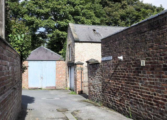
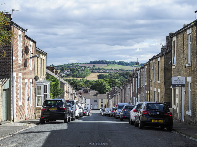
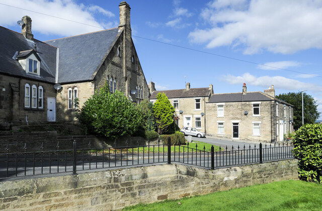
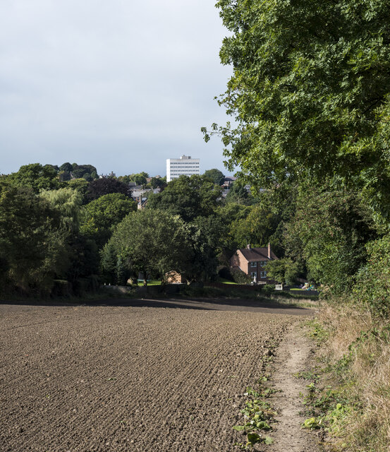
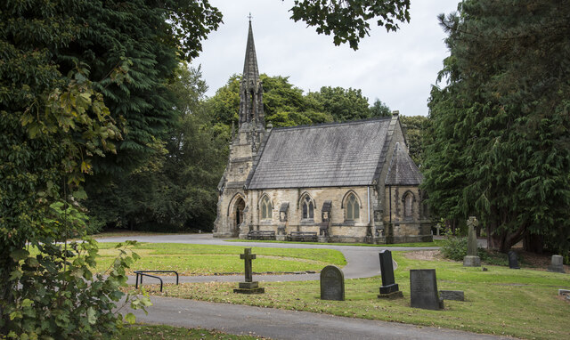
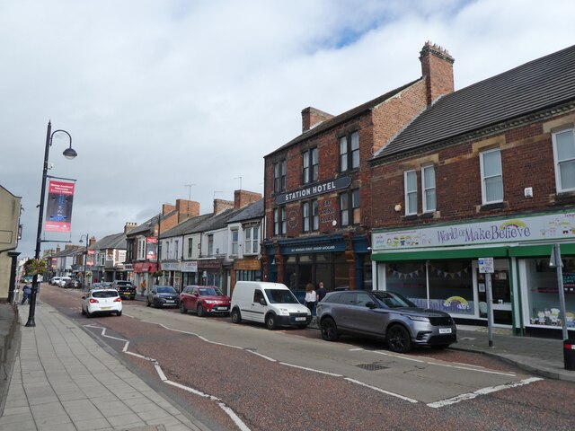
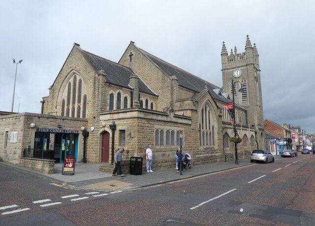
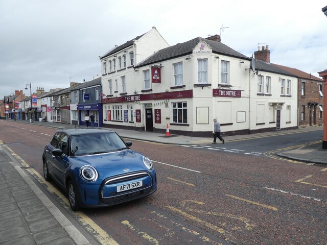
Binchester Plantation Images
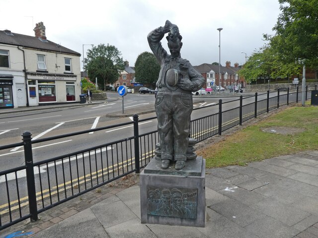
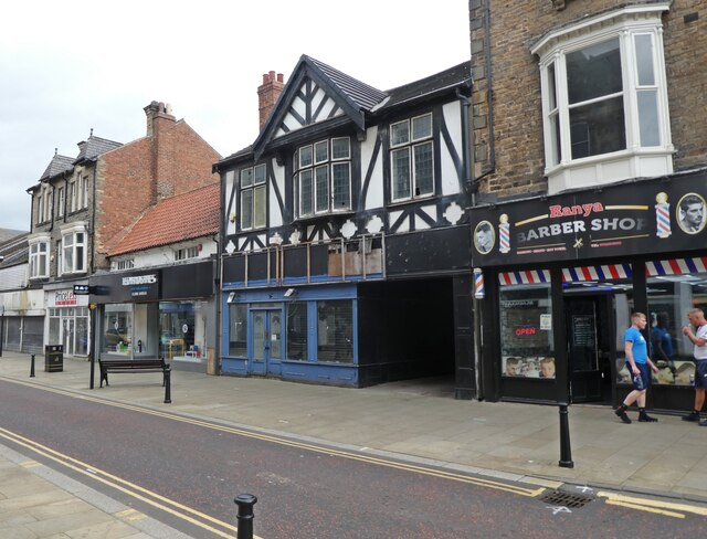
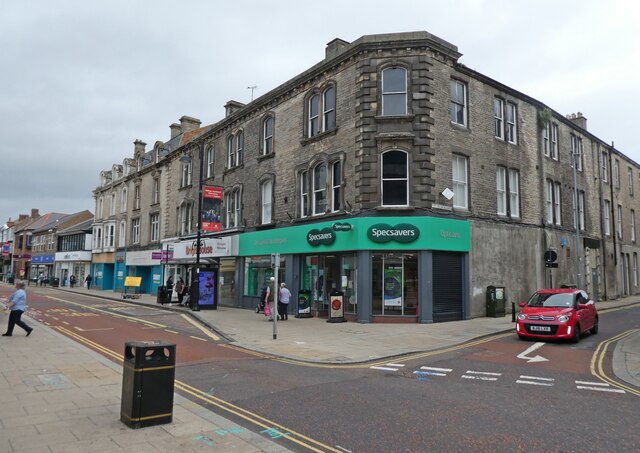
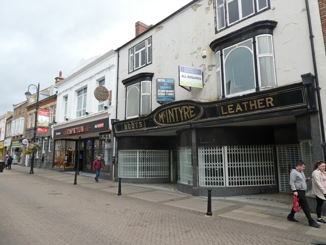
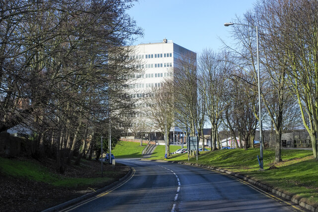
Images are sourced within 2km of 54.675342/-1.6726555 or Grid Reference NZ2131. Thanks to Geograph Open Source API. All images are credited.


Binchester Plantation is located at Grid Ref: NZ2131 (Lat: 54.675342, Lng: -1.6726555)
Unitary Authority: County Durham
Police Authority: Durham
What 3 Words
///diner.missions.piglets. Near Bishop Auckland, Co. Durham
Nearby Locations
Related Wikis
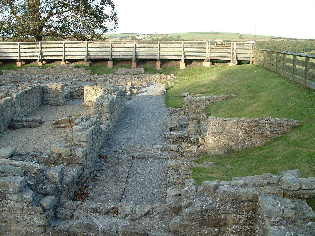
Vinovia
Vinovia or Vinovium was a Roman fort and settlement situated just over 1 mile (1.6 km) to the north of the town of Bishop Auckland on the banks of the...

River Gaunless
The Gaunless is a tributary river of the Wear in County Durham, England. Its name is Old Norse, meaning "useless". The Gaunless Viaduct, built in 1825...

Auckland Castle
Auckland Castle, also known as Auckland Palace, is a former bishop's palace located in the town of Bishop Auckland in County Durham, England. The castle...
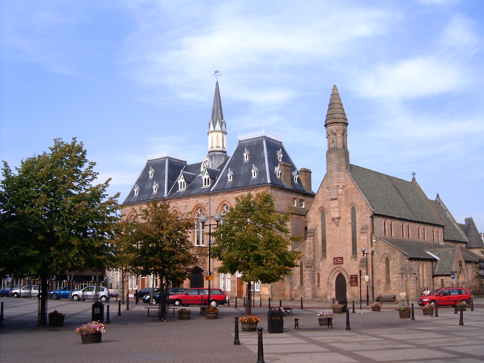
Bishop Auckland Town Hall
Bishop Auckland Town Hall is a municipal facility in the Market Place, Bishop Auckland, Co Durham, England. It is a Grade II* listed building. == History... ==
Nearby Amenities
Located within 500m of 54.675342,-1.6726555Have you been to Binchester Plantation?
Leave your review of Binchester Plantation below (or comments, questions and feedback).