Darley Dale
Settlement in Derbyshire Derbyshire Dales
England
Darley Dale

Darley Dale is a small town located in the county of Derbyshire, England. Situated in the picturesque Derwent Valley, it lies approximately 3 miles north of Matlock and 16 miles south of Sheffield. With a population of around 6,000 residents, Darley Dale offers a peaceful and friendly community atmosphere.
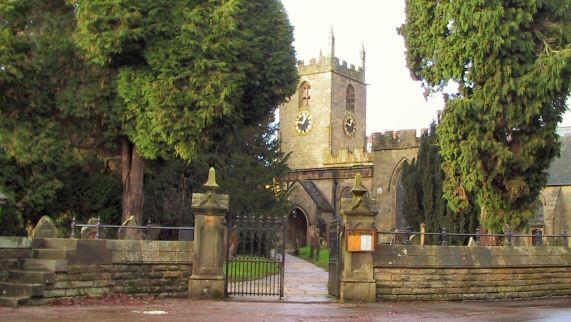
The town is rich in history and is known for its industrial heritage. In the 18th and 19th centuries, Darley Dale was a significant center for cotton spinning and quarrying. The remnants of these industries can still be seen today in the form of historic mills and quarries scattered throughout the area. One of the notable landmarks is the historic Northwood Hall, a former cotton mill that has been converted into residential apartments.
Nature enthusiasts are drawn to Darley Dale due to its proximity to the Peak District National Park. The town is surrounded by stunning natural landscapes, including rolling hills, picturesque valleys, and scenic woodland areas. Visitors and residents can enjoy various outdoor activities such as hiking, cycling, and birdwatching.
Darley Dale also offers a range of amenities and facilities to cater to the needs of its residents. There are several local shops, cafes, and restaurants, as well as primary and secondary schools, making it an ideal place for families. The town is well-connected with transportation links, including regular bus services and easy access to major road networks.
Overall, Darley Dale is a charming town that combines its historical heritage with natural beauty, providing a tranquil and idyllic living environment.
If you have any feedback on the listing, please let us know in the comments section below.
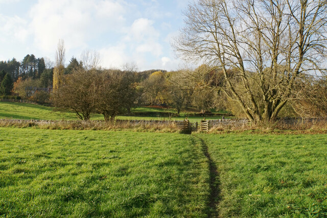
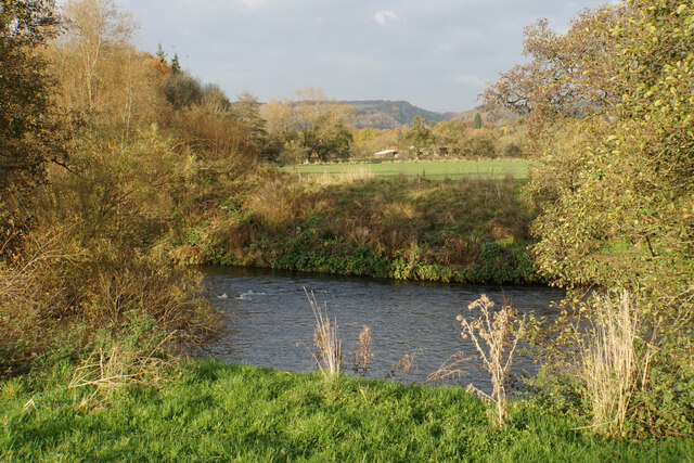
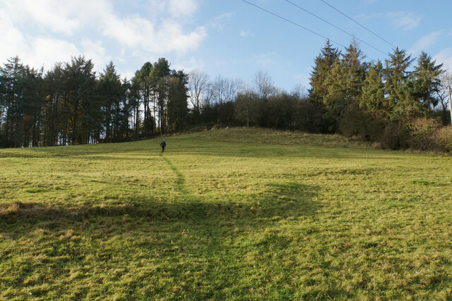
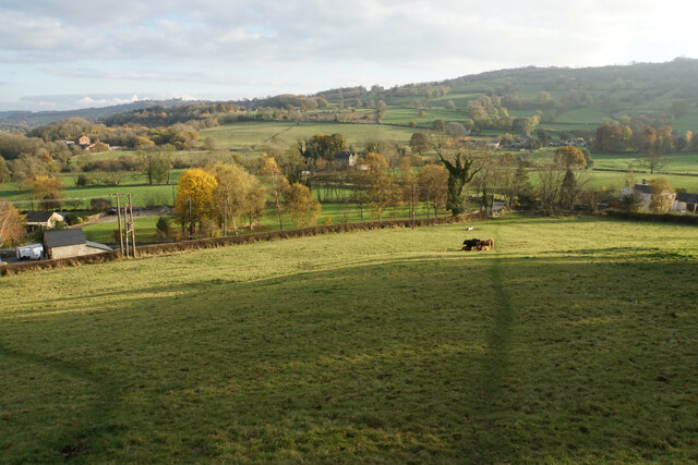
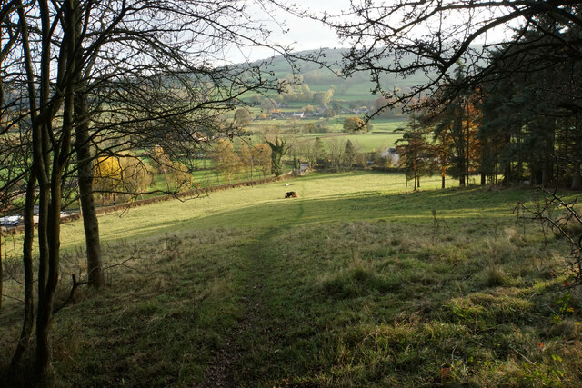
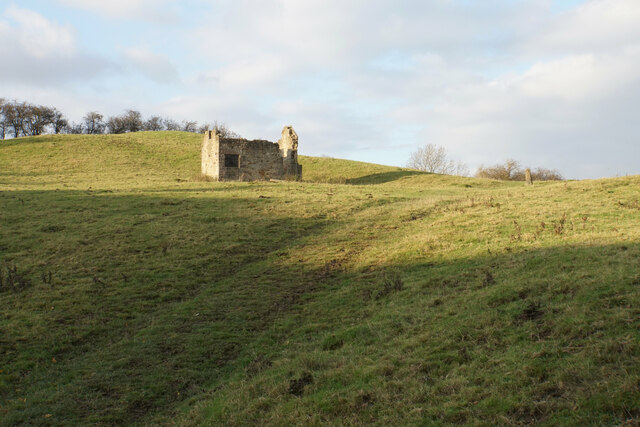
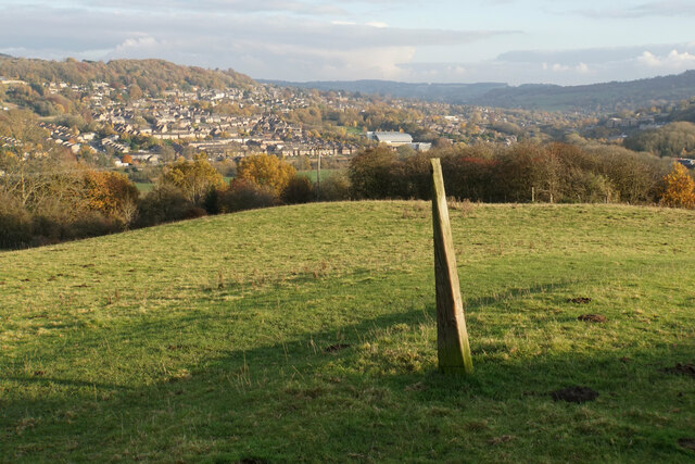
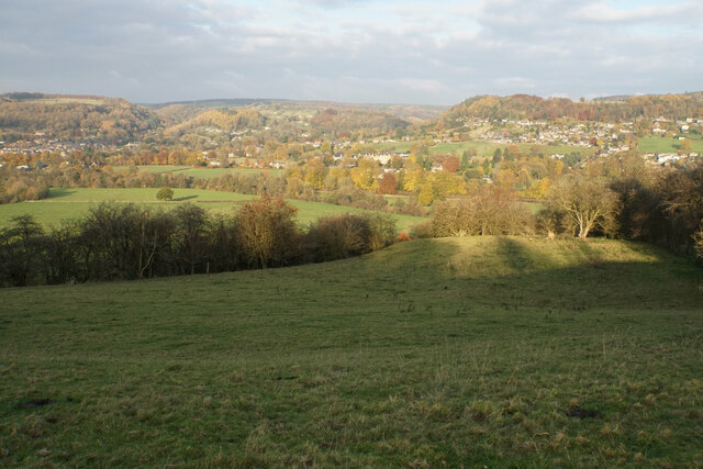
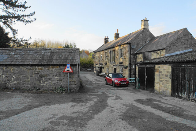
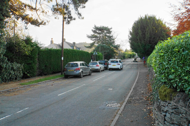
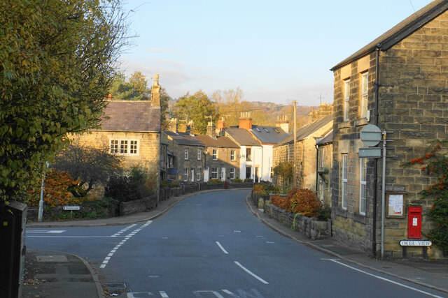
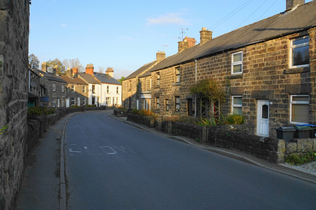
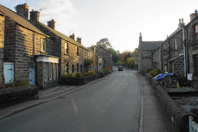
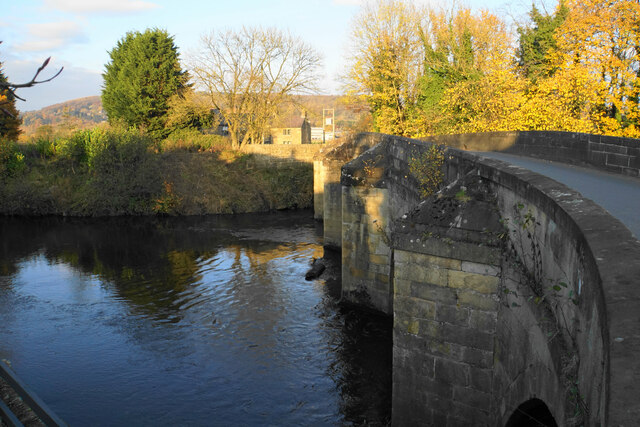
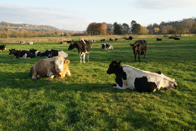
Darley Dale Images
Images are sourced within 2km of 53.161941/-1.588911 or Grid Reference SK2762. Thanks to Geograph Open Source API. All images are credited.


Darley Dale is located at Grid Ref: SK2762 (Lat: 53.161941, Lng: -1.588911)
Administrative County: Derbyshire
District: Derbyshire Dales
Police Authority: Derbyshire
What 3 Words
///imprinted.blesses.approach. Near Matlock, Derbyshire
Nearby Locations
Related Wikis

Whitworth Institute
The Whitworth Institute is a Grade II listed building in Darley Dale, Derbyshire.It was funded by the estate of the late Sir Joseph Whitworth who lived...
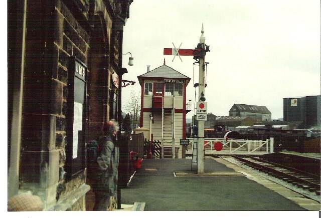
Darley Dale railway station
Darley Dale railway station is a railway station on the heritage line Peak Rail. == History == Lying at the bottom of Station Road in the settlement of...

Peak Rail
Peak Rail is a preserved railway in Derbyshire, England, which operates a steam and heritage diesel service for tourists and visitors to both the Peak...
Darley Dale
Darley Dale, formerly Darley, is a town and civil parish in the Derbyshire Dales district of Derbyshire, England, with a population of 5,413. It lies...
Nearby Amenities
Located within 500m of 53.161941,-1.588911Have you been to Darley Dale?
Leave your review of Darley Dale below (or comments, questions and feedback).