Darley Bridge
Settlement in Derbyshire Derbyshire Dales
England
Darley Bridge

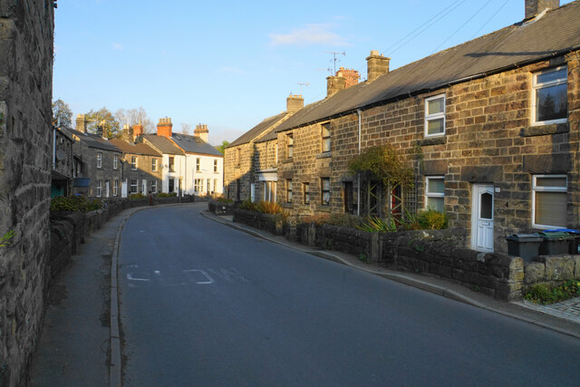
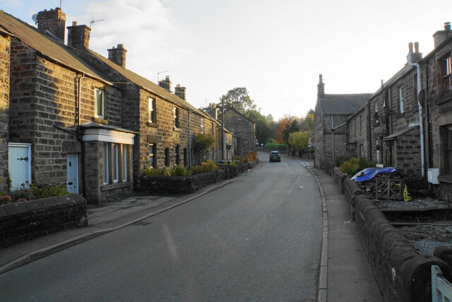
Darley Bridge is a charming village located in the county of Derbyshire, England. Situated on the banks of the River Derwent, it is nestled within the picturesque Peak District National Park. The village is a part of the wider Darley Abbey area, known for its historical significance and natural beauty.
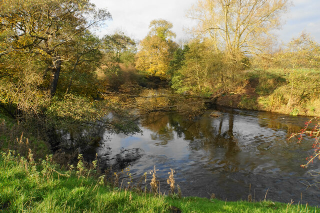
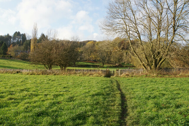
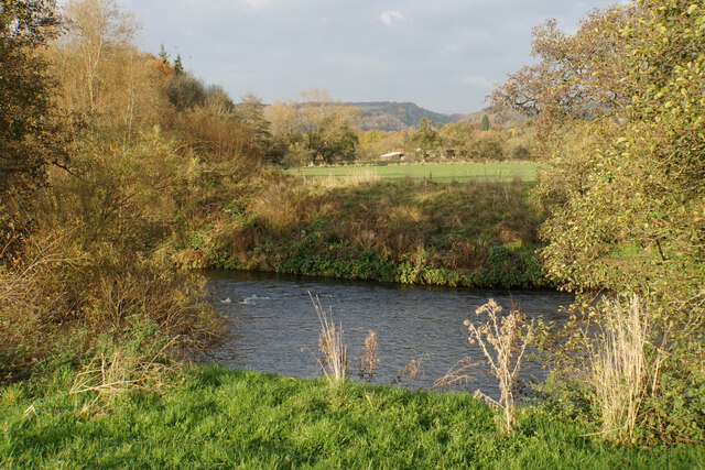
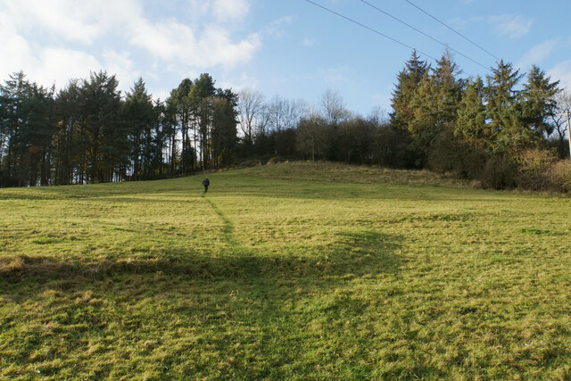
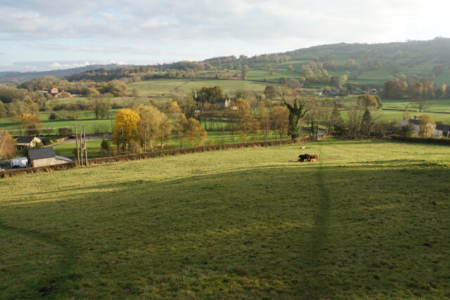
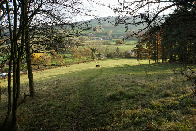
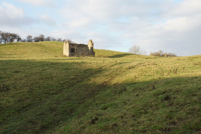
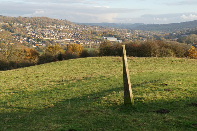
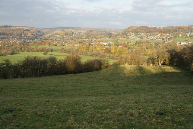
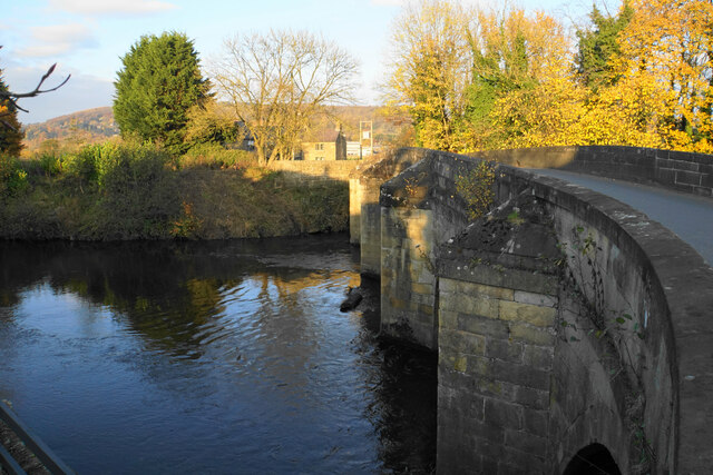
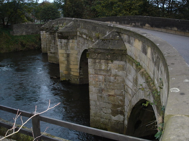
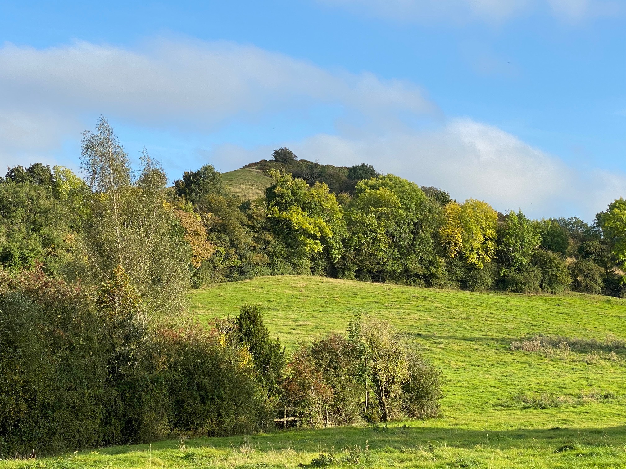
Darley Bridge is renowned for its stunning landscapes, with rolling hills, lush green fields, and dense forests surrounding the village. The River Derwent, which flows through the heart of the village, adds to its scenic appeal. The bridge from which the village derives its name is a stone structure that spans the river, providing a picturesque focal point for visitors.
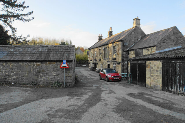
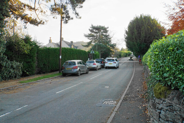
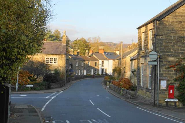
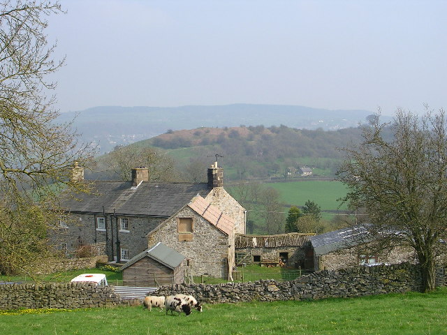
The village is home to a close-knit community, with a population of around 500 residents. The local amenities include a village hall, a primary school, a pub, and a few small shops. The village retains its rural charm and traditional character, with many of its buildings dating back to the 18th and 19th centuries.
Outdoor enthusiasts are drawn to Darley Bridge due to its proximity to the Peak District National Park. The area offers numerous walking and cycling trails, including access to the popular Derwent Valley Heritage Way. The park also provides opportunities for fishing, bird-watching, and other recreational activities.
Overall, Darley Bridge is a tranquil and idyllic village, offering a perfect escape for those seeking a peaceful retreat in the heart of the Peak District.
If you have any feedback on the listing, please let us know in the comments section below.
Darley Bridge Images
Images are sourced within 2km of 53.151746/-1.599221 or Grid Reference SK2661. Thanks to Geograph Open Source API. All images are credited.


Darley Bridge is located at Grid Ref: SK2661 (Lat: 53.151746, Lng: -1.599221)
Administrative County: Derbyshire
District: Derbyshire Dales
Police Authority: Derbyshire
What 3 Words
///lighter.graced.headboard. Near Matlock, Derbyshire
Nearby Locations
Related Wikis
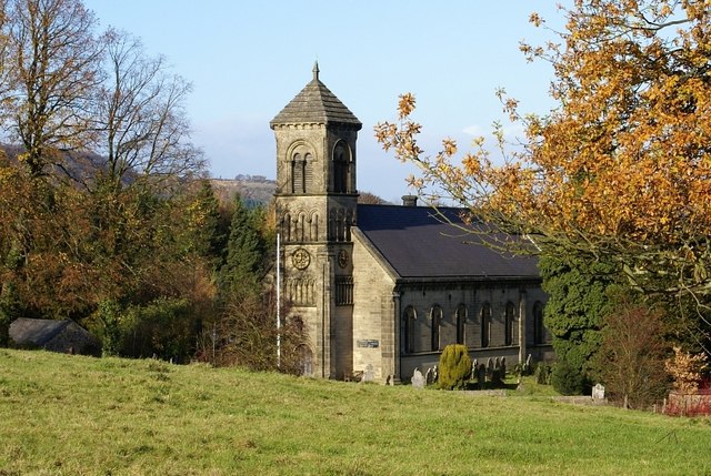
St Mary the Virgin's Church, South Darley
St Mary the Virgin's Church, South Darley is a Grade II listed parish church in the Church of England in South Darley, Derbyshire. At the entrance to the...

South Darley
South Darley is a civil parish in the Derbyshire Dales. It is a largely rural parish and covers the villages of Darley Bridge, Wensley and the hamlets...
Darley Bridge
Darley Bridge is a village in Derbyshire, located in South Darley parish in the Derbyshire Dales, bordering the Peak District. The village lies at the...
Station Road, Darley Dale
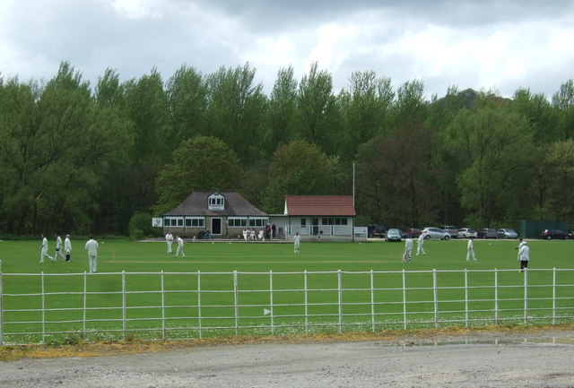
Station Road is a cricket ground in Darley Dale, Derbyshire, England, which has hosted only one top-class match: the 1975 John Player League match between...
Wensley, Derbyshire
Wensley is a small village in South Darley parish in Derbyshire of limestone and gritstone properties mainly arranged along the single road which zig-zags...
Oker, Derbyshire
Oker is a hamlet in Derbyshire, located in South Darley parish, with groups of houses along two sides of Oker Hill. The houses are largely older limestone...
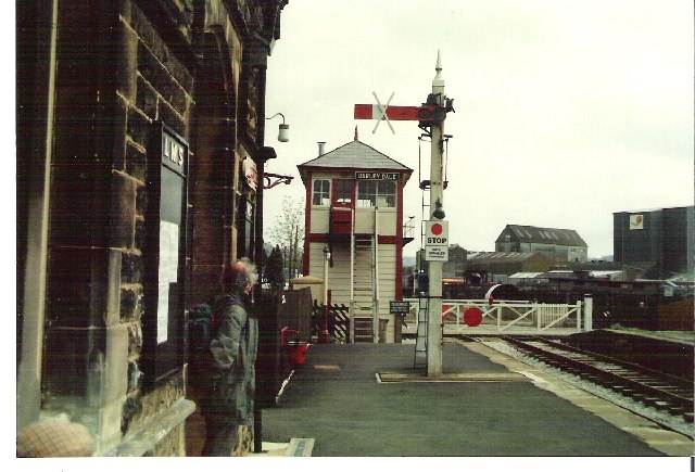
Darley Dale railway station
Darley Dale railway station is a railway station on the heritage line Peak Rail. == History == Lying at the bottom of Station Road in the settlement of...

Peak Rail
Peak Rail is a preserved railway in Derbyshire, England, which operates a steam and heritage diesel service for tourists and visitors to both the Peak...
Nearby Amenities
Located within 500m of 53.151746,-1.599221Have you been to Darley Bridge?
Leave your review of Darley Bridge below (or comments, questions and feedback).