Cambridge Wood
Wood, Forest in Derbyshire Derbyshire Dales
England
Cambridge Wood

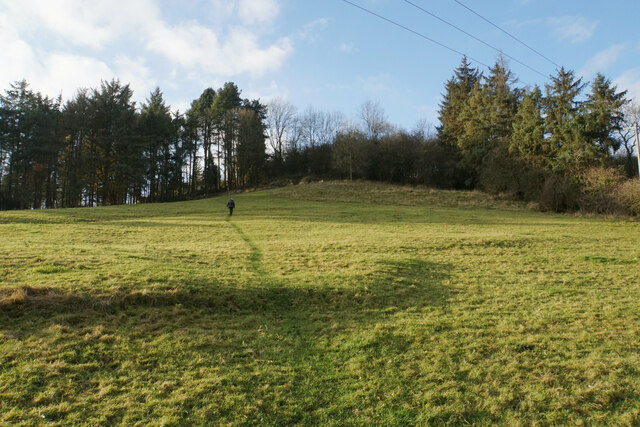
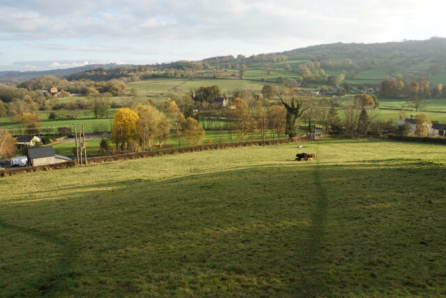
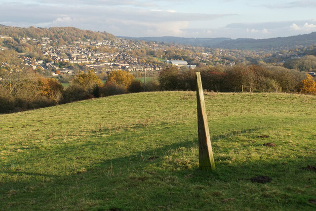
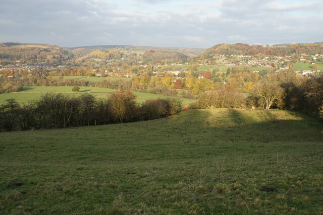
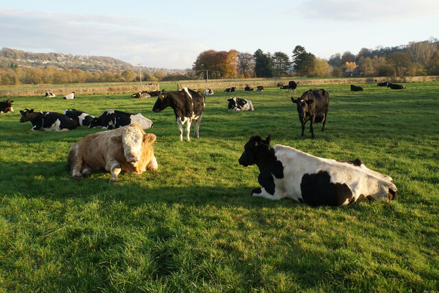
Cambridge Wood, located in Derbyshire, England, is a picturesque forest area renowned for its natural beauty and rich biodiversity. The wood covers an area of approximately 100 acres and is situated near the village of Cambridge, offering visitors a tranquil retreat from the bustling city life.
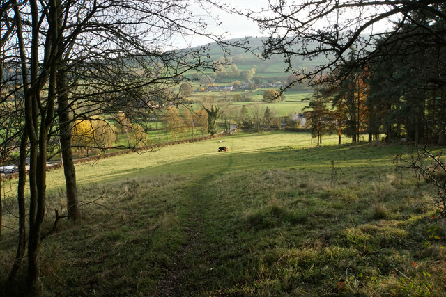
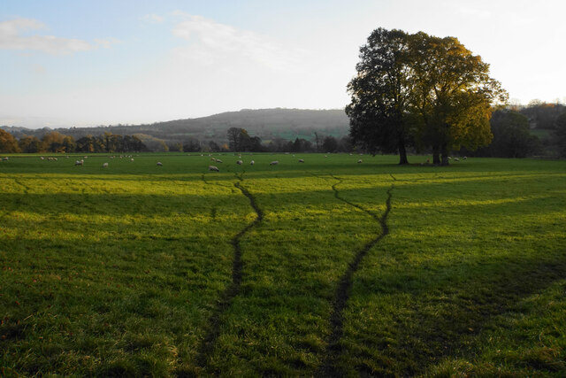
The forest is characterized by its dense canopy of oak, beech, and birch trees, creating a serene and peaceful environment. This woodland provides a haven for a wide variety of flora and fauna, including rare species of birds, butterflies, and small mammals. Nature enthusiasts can enjoy exploring the numerous walking trails that wind through the wood, immersing themselves in the sights and sounds of the natural surroundings.
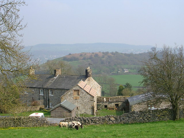
Cambridge Wood is also known for its historical significance. The area has remnants of ancient settlements, with archaeological finds dating back to the Roman era. The wood has played a vital role in the local community for centuries, providing timber for construction and firewood.
Visitors to Cambridge Wood can engage in a range of outdoor activities, such as birdwatching, photography, and picnicking. The forest is also a popular spot for nature walks, offering visitors the chance to connect with nature and enjoy the tranquility of the surroundings.
Overall, Cambridge Wood in Derbyshire offers a splendid blend of natural beauty, historical significance, and recreational opportunities, making it a must-visit destination for nature enthusiasts and those seeking a peaceful escape in the heart of the English countryside.
If you have any feedback on the listing, please let us know in the comments section below.
Cambridge Wood Images
Images are sourced within 2km of 53.150214/-1.6122299 or Grid Reference SK2661. Thanks to Geograph Open Source API. All images are credited.


Cambridge Wood is located at Grid Ref: SK2661 (Lat: 53.150214, Lng: -1.6122299)
Administrative County: Derbyshire
District: Derbyshire Dales
Police Authority: Derbyshire
What 3 Words
///exploring.growth.refuses. Near Matlock, Derbyshire
Nearby Locations
Related Wikis

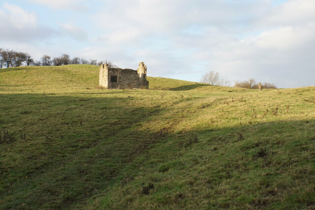
Old Millclose Mine
Old Millclose Mine was a lead mine near Wensley, in Derbyshire, England. The engine house of the mine survives as a ruin; it is a scheduled monument....
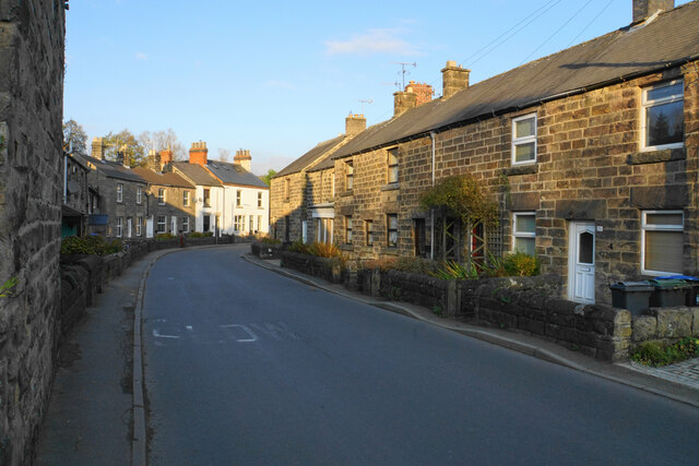
Wensley, Derbyshire
Wensley is a small village in South Darley parish in Derbyshire of limestone and gritstone properties mainly arranged along the single road which zig-zags...
St Mary the Virgin's Church, South Darley
St Mary the Virgin's Church, South Darley is a Grade II listed parish church in the Church of England in South Darley, Derbyshire. At the entrance to the...

South Darley
South Darley is a civil parish in the Derbyshire Dales. It is a largely rural parish and covers the villages of Darley Bridge, Wensley and the hamlets...
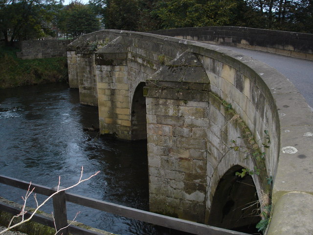
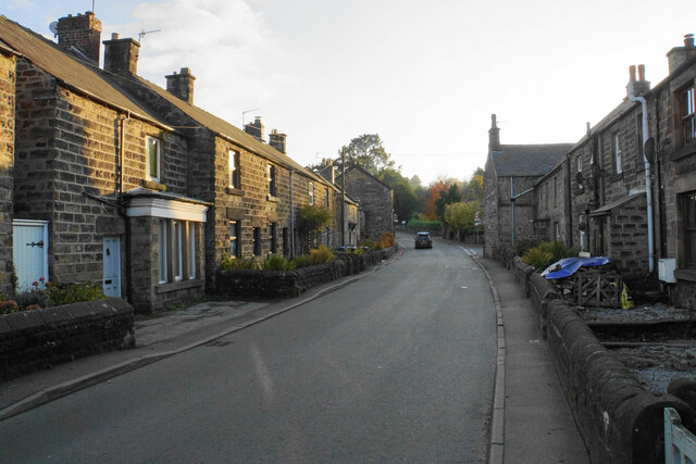
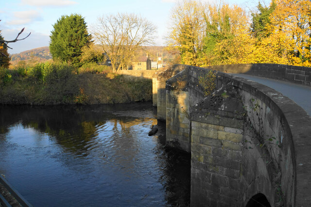
Darley Bridge
Darley Bridge is a village in Derbyshire, located in South Darley parish in the Derbyshire Dales, bordering the Peak District. The village lies at the...
Station Road, Darley Dale
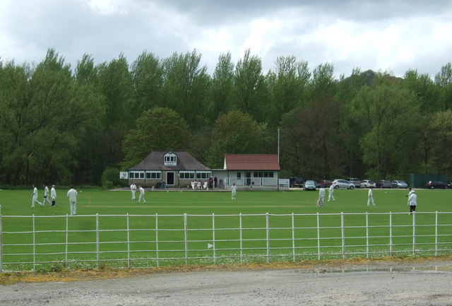
Station Road is a cricket ground in Darley Dale, Derbyshire, England, which has hosted only one top-class match: the 1975 John Player League match between...

St Helen's Church, Darley Dale
St Helen's Church, Darley Dale is a Grade II* listed parish church in the Church of England in Darley Dale, Derbyshire. == History == The church has elements...
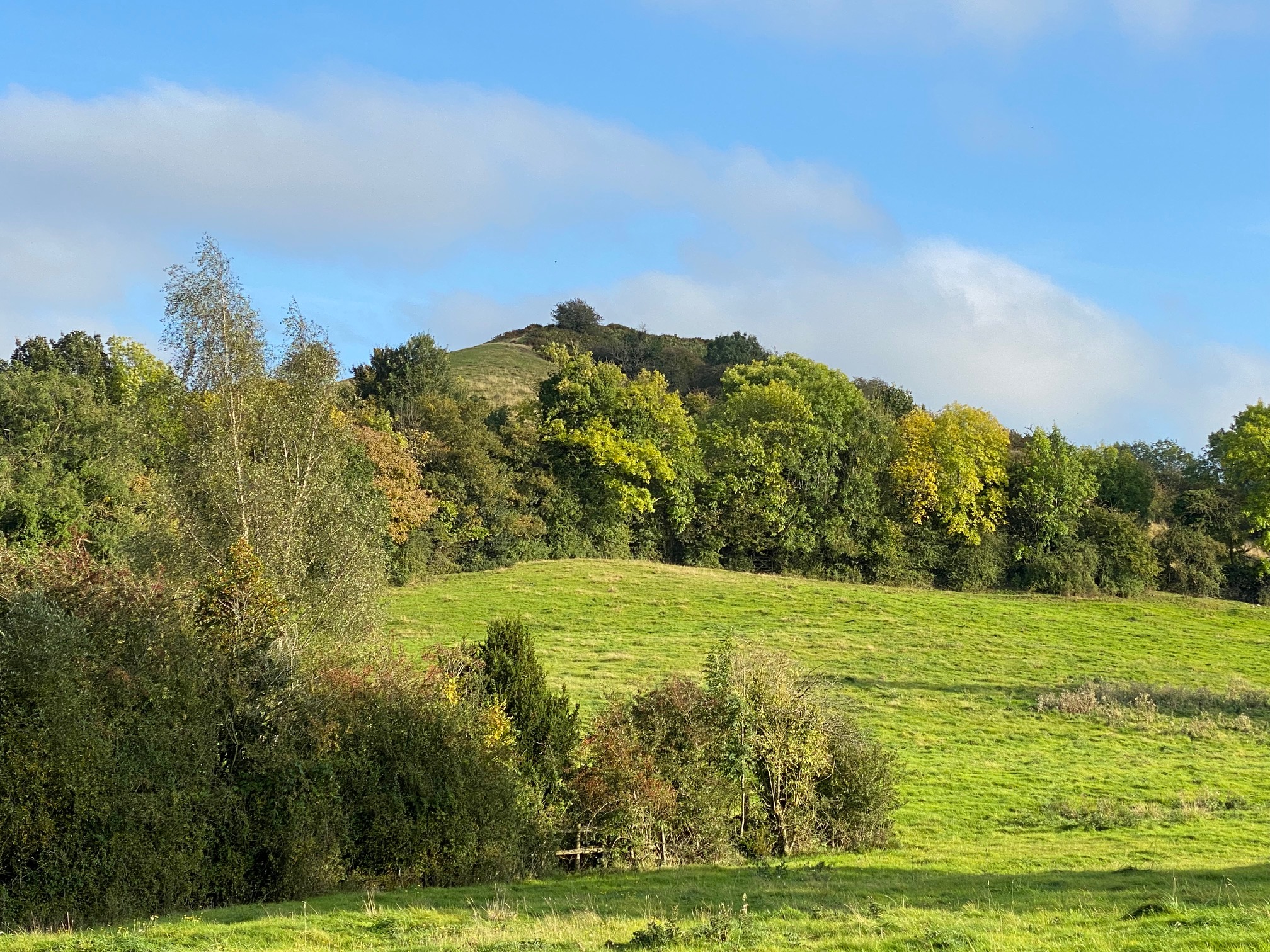
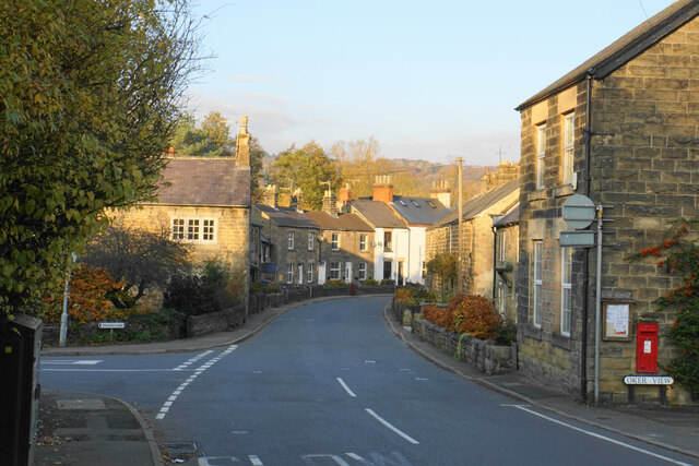
Oker, Derbyshire
Oker is a hamlet in Derbyshire, located in South Darley parish, with groups of houses along two sides of Oker Hill. The houses are largely older limestone...
Nearby Amenities
Located within 500m of 53.150214,-1.6122299Have you been to Cambridge Wood?
Leave your review of Cambridge Wood below (or comments, questions and feedback).