Darley Dale
Valley in Derbyshire Derbyshire Dales
England
Darley Dale

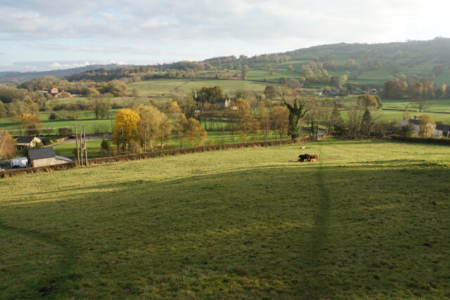
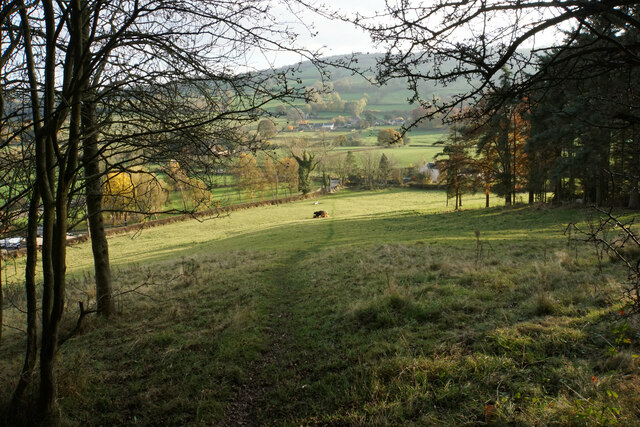
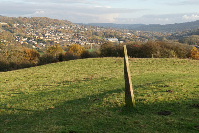
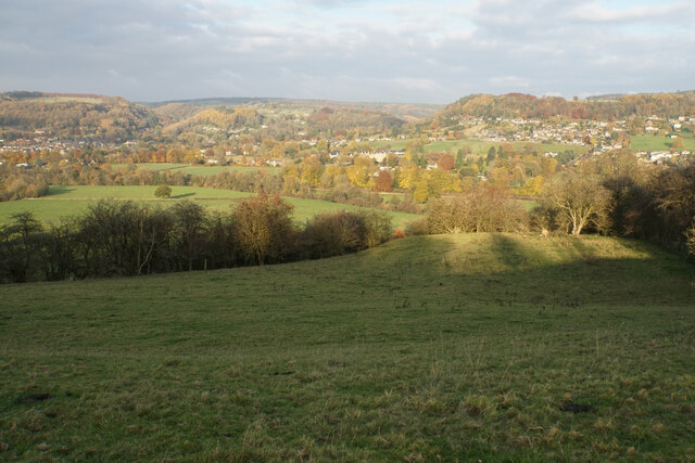
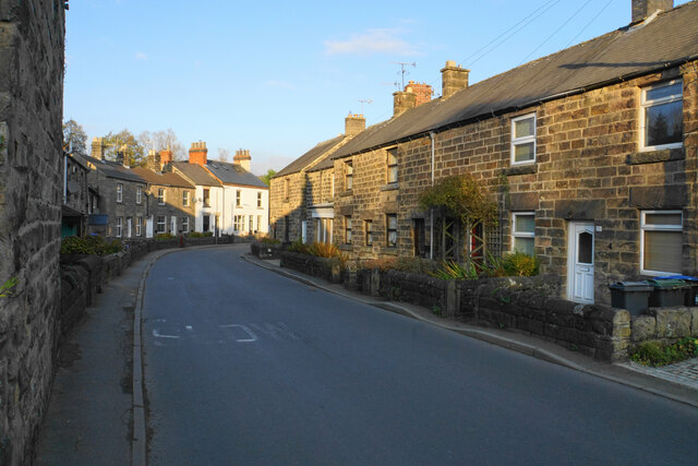
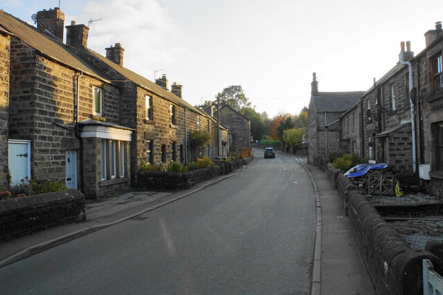
Darley Dale is a picturesque village located in the Derbyshire Dales district of Derbyshire, England. Situated in a valley, it is surrounded by rolling hills and stunning countryside, making it a popular destination for nature enthusiasts and outdoor activities.
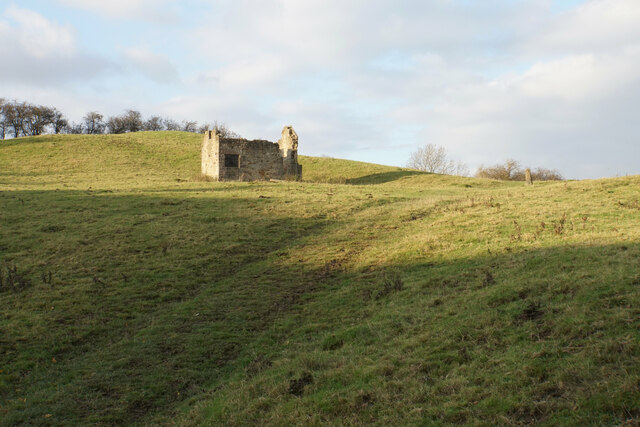
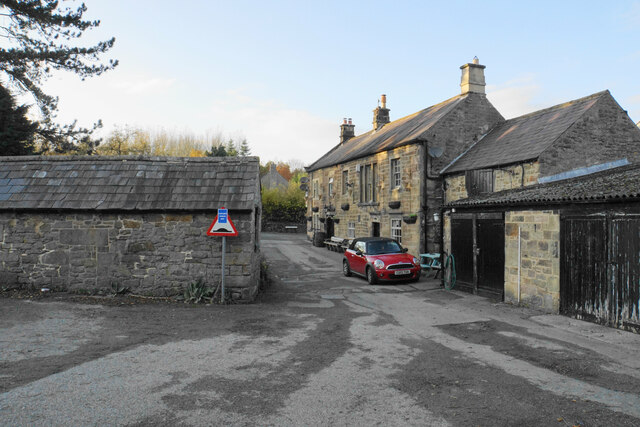
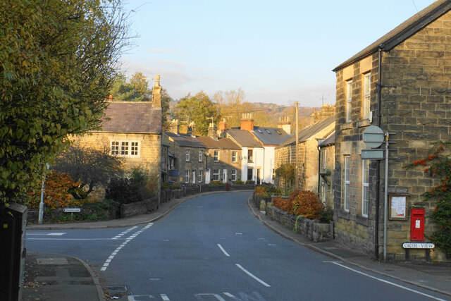
The village itself is small and charming, with a population of around 6,000. It boasts a rich history, dating back to the medieval period, and is home to several historic buildings and landmarks. One such landmark is the impressive St. Helen's Church, which dates back to the 12th century and features beautiful stained glass windows and a unique octagonal spire.
Darley Dale is also known for its vibrant community spirit, with a range of local events and activities taking place throughout the year. The village hosts an annual carnival, which attracts visitors from near and far, as well as a weekly market where locals can purchase fresh produce and handmade crafts.
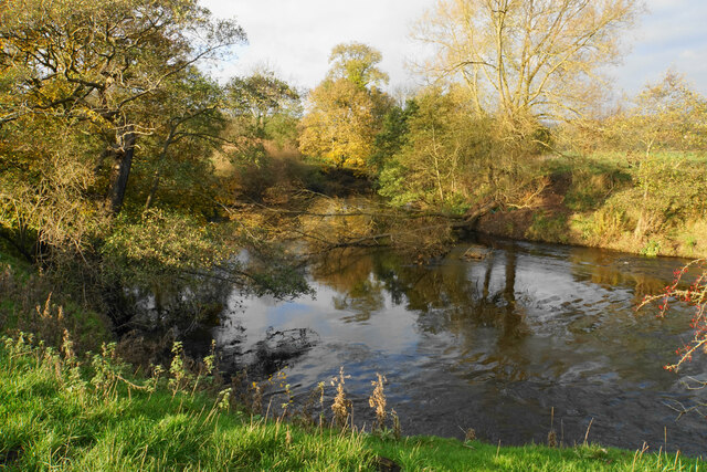
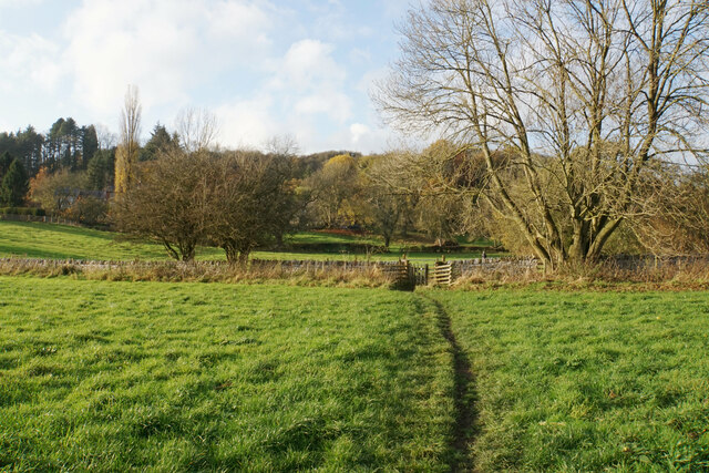
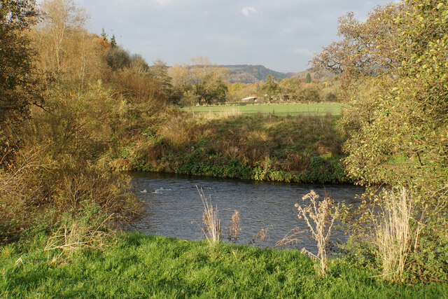
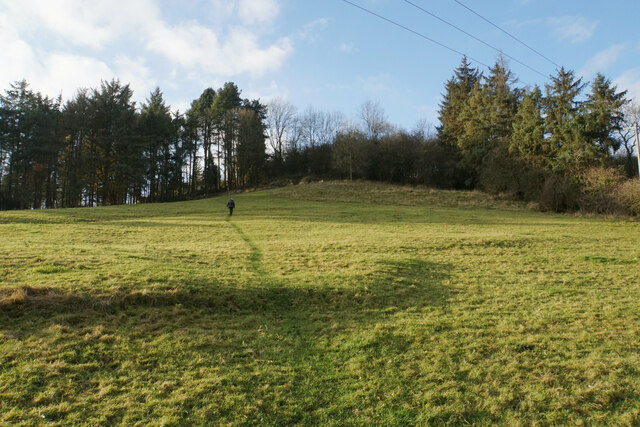
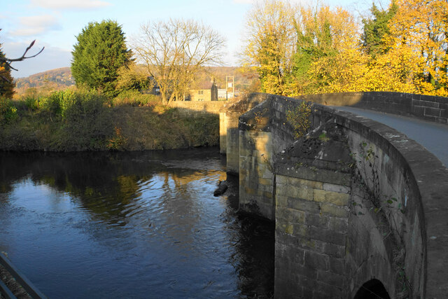
For those seeking outdoor adventures, Darley Dale offers a multitude of options. The nearby Peak District National Park provides ample opportunities for hiking, cycling, and horseback riding, with a network of trails and paths to explore. Additionally, the Derwent Valley Heritage Way passes through the village, offering scenic walks along the river.
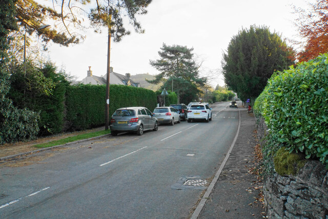
In terms of amenities, Darley Dale has a range of shops, cafes, and pubs, providing residents and visitors with everything they need. The village also benefits from good transport links, with regular bus services connecting it to the nearby towns of Matlock and Bakewell.
Overall, Darley Dale is a charming village nestled in the heart of the Derbyshire Dales, offering a mix of natural beauty, history, and community spirit.
If you have any feedback on the listing, please let us know in the comments section below.
Darley Dale Images
Images are sourced within 2km of 53.158646/-1.5933102 or Grid Reference SK2762. Thanks to Geograph Open Source API. All images are credited.


Darley Dale is located at Grid Ref: SK2762 (Lat: 53.158646, Lng: -1.5933102)
Administrative County: Derbyshire
District: Derbyshire Dales
Police Authority: Derbyshire
What 3 Words
///professes.bongo.playoffs. Near Matlock, Derbyshire
Nearby Locations
Related Wikis
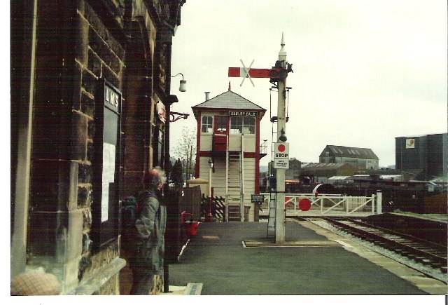
Darley Dale railway station
Darley Dale railway station is a railway station on the heritage line Peak Rail. == History == Lying at the bottom of Station Road in the settlement of...

Peak Rail
Peak Rail is a preserved railway in Derbyshire, England, which operates a steam and heritage diesel service for tourists and visitors to both the Peak...
Station Road, Darley Dale
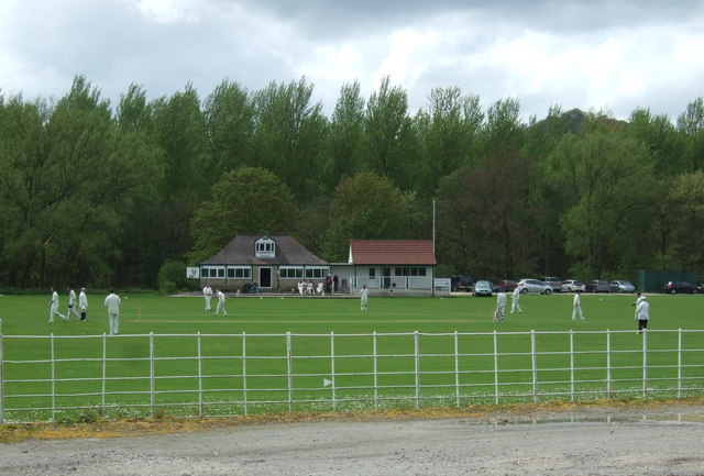
Station Road is a cricket ground in Darley Dale, Derbyshire, England, which has hosted only one top-class match: the 1975 John Player League match between...

Whitworth Institute
The Whitworth Institute is a Grade II listed building in Darley Dale, Derbyshire.It was funded by the estate of the late Sir Joseph Whitworth who lived...
Nearby Amenities
Located within 500m of 53.158646,-1.5933102Have you been to Darley Dale?
Leave your review of Darley Dale below (or comments, questions and feedback).