Darlaston Green
Settlement in Staffordshire
England
Darlaston Green
Darlaston Green is a small village located in the county of Staffordshire, England. Situated approximately 7 miles east of the city of Wolverhampton, Darlaston Green is part of the wider Darlaston area and falls within the borough of Walsall.
The village is known for its picturesque setting, surrounded by lush green fields and rolling hills. It is primarily a residential area, with a close-knit community that takes pride in the preservation of its rural charm. The village boasts a mix of traditional and modern housing, ranging from quaint cottages to modern family homes.
Despite its relatively small size, Darlaston Green offers a range of amenities and facilities for its residents. These include a primary school, a community center, a village hall, and a local pub. The village is well-connected to nearby towns and cities, with regular bus services providing easy access to the wider region.
The natural beauty of Darlaston Green makes it an ideal location for outdoor activities and leisure pursuits. The surrounding countryside offers opportunities for walking, cycling, and horse riding, while nearby parks and green spaces provide areas for relaxation and recreation.
Overall, Darlaston Green offers a peaceful and idyllic retreat from the hustle and bustle of nearby urban areas. With its strong community spirit and beautiful surroundings, it is a desirable place to live for those seeking a rural lifestyle with easy access to amenities and transport links.
If you have any feedback on the listing, please let us know in the comments section below.
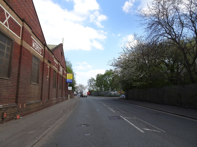
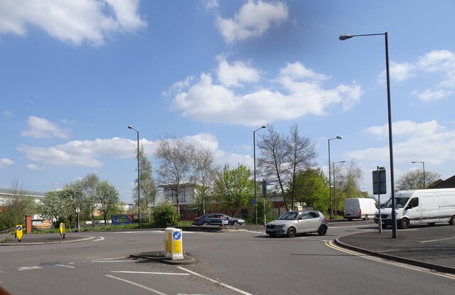
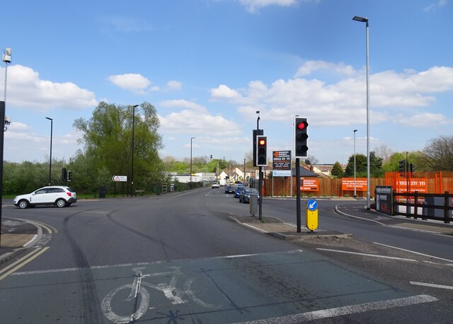
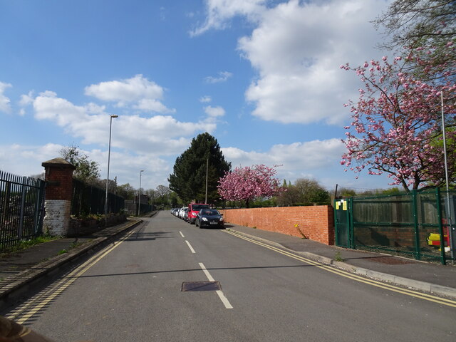
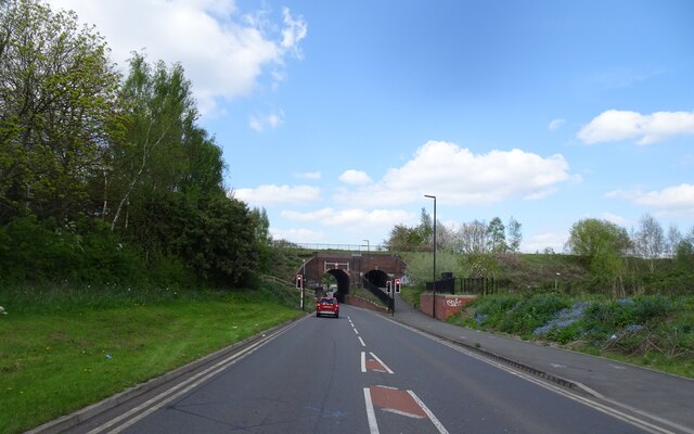
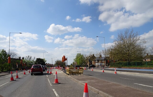
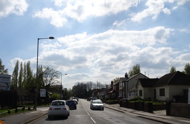
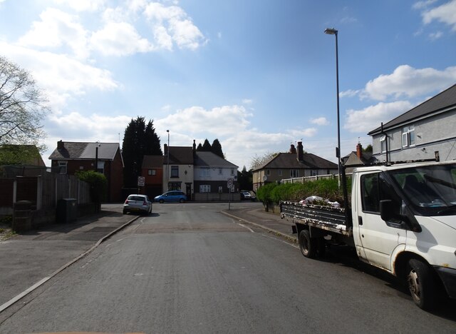
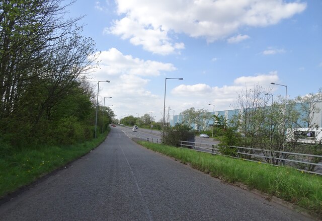
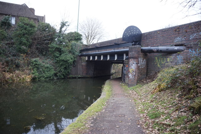
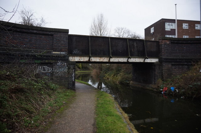
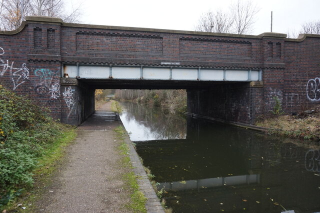
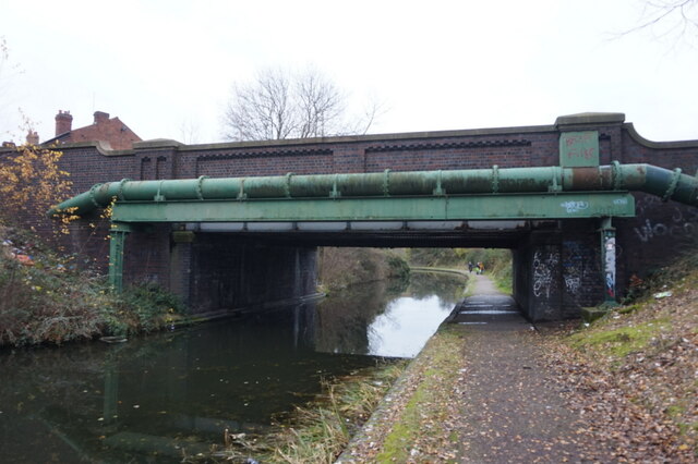
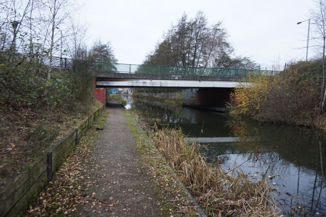
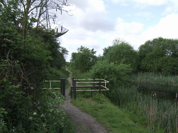
Darlaston Green Images
Images are sourced within 2km of 52.575556/-2.030661 or Grid Reference SO9897. Thanks to Geograph Open Source API. All images are credited.
Darlaston Green is located at Grid Ref: SO9897 (Lat: 52.575556, Lng: -2.030661)
Unitary Authority: Walsall
Police Authority: West Midlands
What 3 Words
///pounds.having.spoil. Near Darlaston, West Midlands
Nearby Locations
Related Wikis
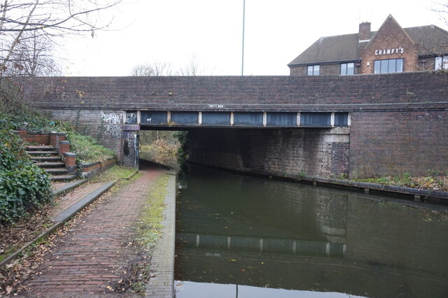
Anson Branch
The Anson Branch is a short canal in the West Midlands, England. It runs for just over one mile from its junction with the Walsall Canal near Forster's...

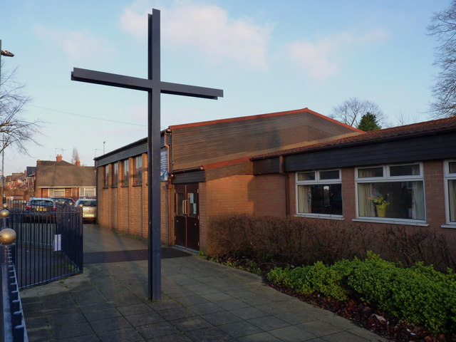
All Saints' Church, Darlaston
All Saints’ Church, Darlaston is a parish church in the Church of England in Darlaston, West Midlands County, England. == History == The first church by...

Darlaston James Bridge railway station
Darlaston James Bridge railway station was a station built on the Grand Junction Railway in 1837, serving the James Bridge area east of the town centre...

Darlaston Town (1874) F.C.
Darlaston Town (1874) Football Club is an English association football club that represents the town of Darlaston, West Midlands. They are currently members...
Darlaston Urban District
Darlaston Urban District was a local authority which existed within the West Midlands conurbation, England from 1894 until 1966. It was centred on the...
Darlaston railway station (1863–1887)
Darlaston railway station was a station built on the South Staffordshire Line in 1863. It served the town of Darlaston, and was located to the east of...
Darlaston Loop
The Darlaston Loop was a railway which connected the towns of Walsall, Darlaston and Wednesbury in the West Midlands of England. It was so named because...

Bentley Canal
The Bentley Canal is an abandoned canal that was part of the Birmingham Canal Navigations. A very short section still exists where it joins the Wyrley...
Nearby Amenities
Located within 500m of 52.575556,-2.030661Have you been to Darlaston Green?
Leave your review of Darlaston Green below (or comments, questions and feedback).