Furzy Close Copse
Wood, Forest in Wiltshire
England
Furzy Close Copse
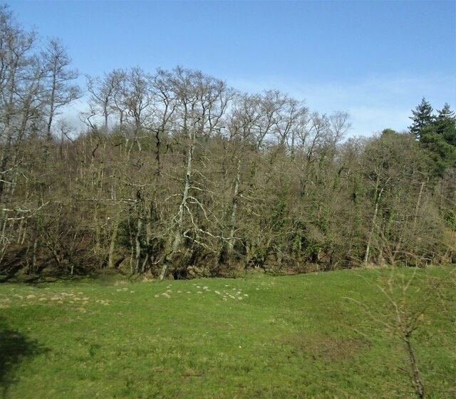
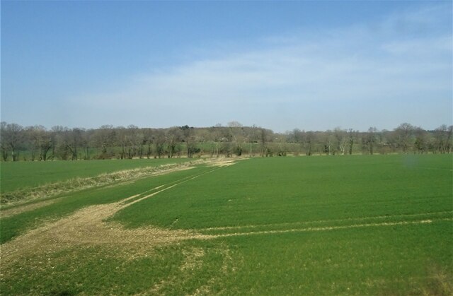
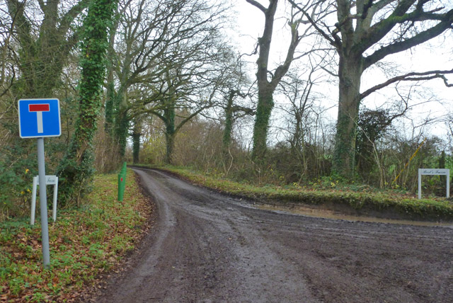
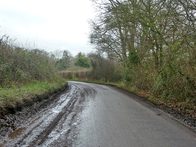
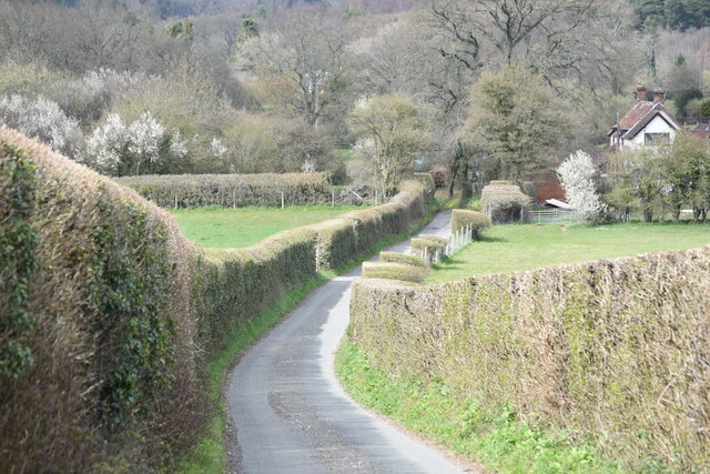
Furzy Close Copse is a picturesque woodland located in the county of Wiltshire, England. Situated near the village of Tisbury, this copse is a natural gem that offers a tranquil and serene environment for visitors. Covering an area of approximately 10 acres, it is primarily composed of a mixture of deciduous and evergreen trees, creating a diverse and vibrant ecosystem.
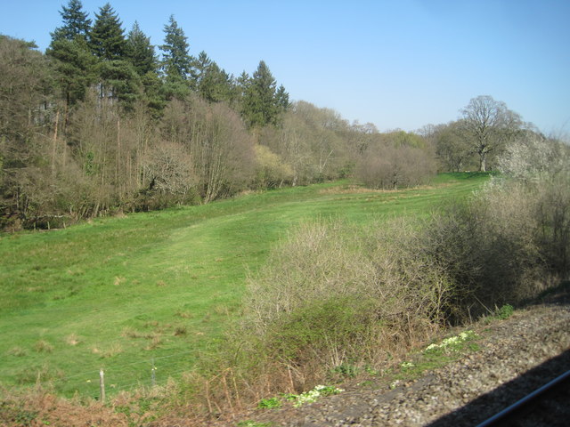
The copse is known for its dense vegetation, with tall trees forming a dense canopy overhead. The woodland floor is carpeted with a variety of wildflowers, ferns, and mosses, adding to the beauty and charm of the area. The abundance of wildlife in Furzy Close Copse makes it an ideal spot for nature enthusiasts and birdwatchers, with common sightings of species such as robins, blackbirds, and woodpeckers.
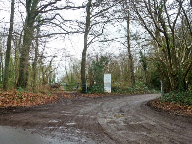
There are several well-maintained footpaths that wind through the copse, providing visitors with the opportunity to explore the area and enjoy a peaceful walk in nature. A small stream meanders through the woodland, further enhancing its natural beauty and creating a soothing atmosphere.
Furzy Close Copse is a popular spot for locals and tourists alike, offering a peaceful retreat from the hustle and bustle of everyday life. The copse is easily accessible, with ample parking available nearby. Whether one is seeking solitude, a place for a family picnic, or simply an escape into nature, Furzy Close Copse is a delightful destination that promises to leave visitors refreshed and rejuvenated.
If you have any feedback on the listing, please let us know in the comments section below.
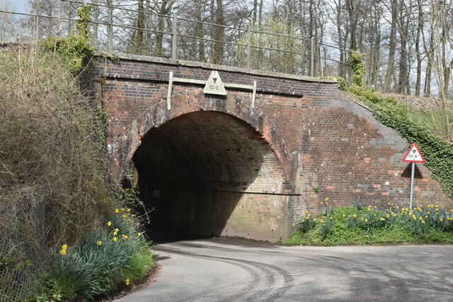
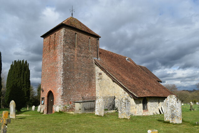
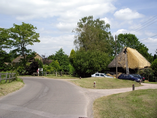
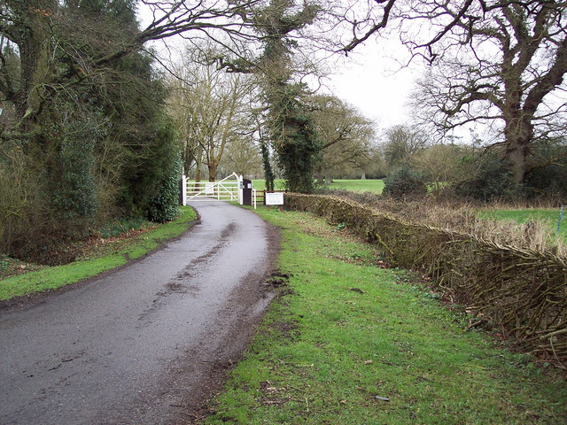
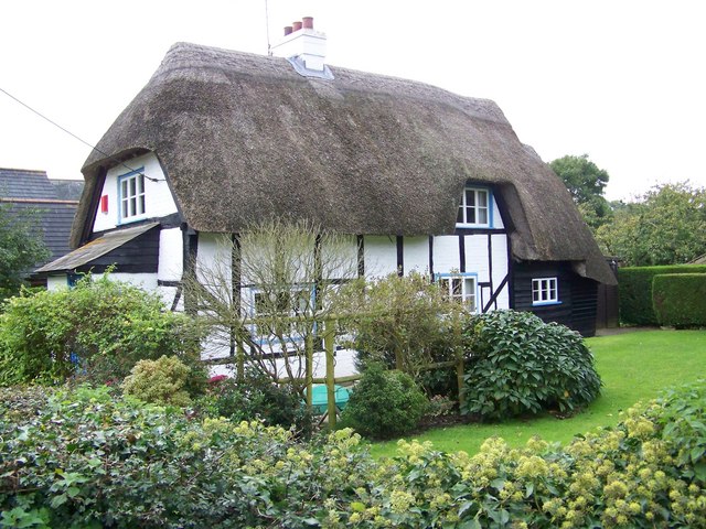
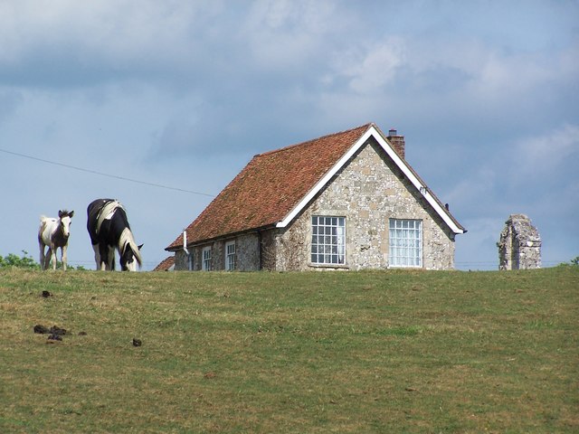
Furzy Close Copse Images
Images are sourced within 2km of 51.050762/-1.6989292 or Grid Reference SU2127. Thanks to Geograph Open Source API. All images are credited.


Furzy Close Copse is located at Grid Ref: SU2127 (Lat: 51.050762, Lng: -1.6989292)
Unitary Authority: Wiltshire
Police Authority: Wiltshire
What 3 Words
///passively.waitress.sneezing. Near Alderbury, Wiltshire
Nearby Locations
Related Wikis

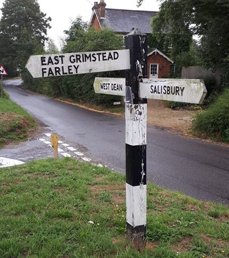
West Grimstead
West Grimstead is a village in the civil parish of Grimstead, on the River Dun in Wiltshire, England, about 4.5 miles (7.2 km) southeast of Salisbury....

Grimstead
Grimstead is a civil parish on the River Dun in Wiltshire, England, to the south-east of Salisbury. Its settlements are the villages of East Grimstead...
East Grimstead
East Grimstead is a village in the civil parish of Grimstead, on the River Dun in Wiltshire, England, about 5 miles (8.0 km) east of Salisbury. The village...
Clarendon Park, Wiltshire
Clarendon Park is a Grade I listed building, estate and civil parish near Salisbury in Wiltshire, England. At the 2011 census the population of the parish...
Farley, Wiltshire
Farley is a village in southeast Wiltshire, England, about 5 miles (8.0 km) east of Salisbury. == Geography == Farley is one of the Dun Valley villages...

Alderbury
Alderbury is a village and civil parish in Wiltshire, England, in the south of the county around 3 miles (5 km) southeast of Salisbury.The parish includes...

Blackmoor Copse
Blackmoor Copse (grid reference SU234292) is a woodland in southeast Wiltshire, England, managed as a nature reserve by the Wiltshire Wildlife Trust. The...
Ivychurch Priory
Ivychurch Priory was a medieval monastic house in Alderbury, southeast of Salisbury, Wiltshire, England. According to Historic England, "all that remains...
Nearby Amenities
Located within 500m of 51.050762,-1.6989292Have you been to Furzy Close Copse?
Leave your review of Furzy Close Copse below (or comments, questions and feedback).