Drive Covert
Wood, Forest in Gloucestershire Cotswold
England
Drive Covert
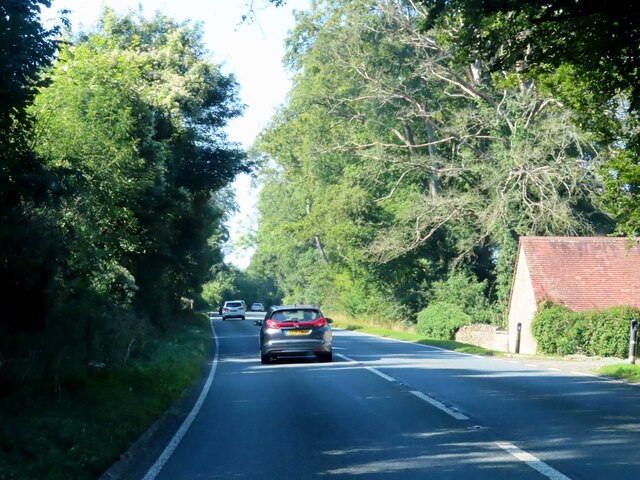
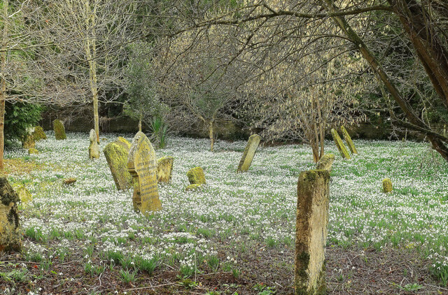
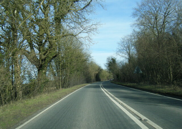
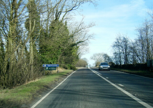
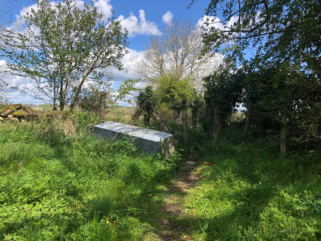
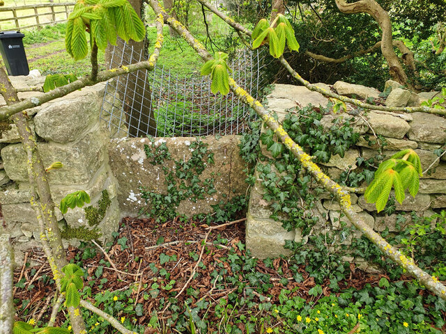
Drive Covert is a picturesque woodland located in Gloucestershire, England. It is situated within the larger Forest of Dean, a renowned area of natural beauty and one of the oldest woodlands in the country. Drive Covert encompasses an area of approximately [insert size] and is characterized by its dense canopy of trees, lush vegetation, and diverse wildlife.
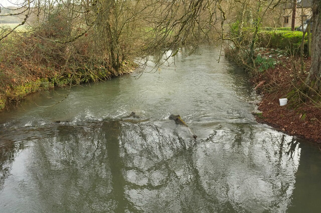
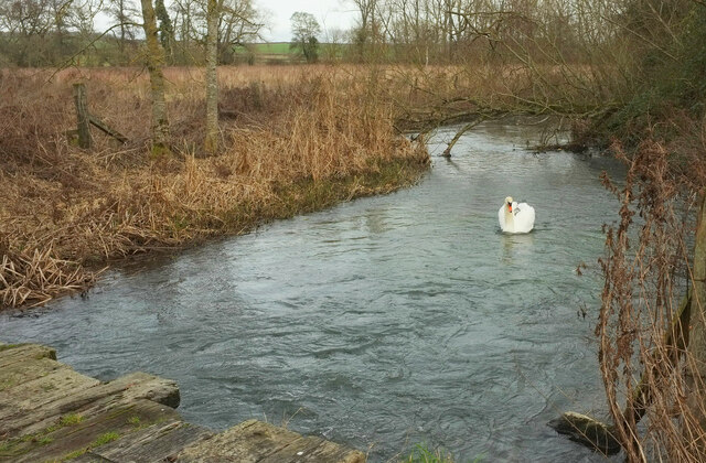
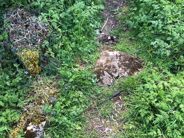
The woodland is predominantly composed of deciduous trees such as oak, beech, and ash, which create a vibrant tapestry of colors throughout the seasons. The forest floor is covered in a blanket of mosses, ferns, and wildflowers, adding to the enchanting atmosphere of the area. Drive Covert is also home to a variety of bird species including woodpeckers, owls, and warblers, making it a popular destination for birdwatchers.
Visitors to Drive Covert can enjoy a range of recreational activities, such as walking, hiking, and cycling. Numerous trails wind their way through the woodland, offering stunning views and opportunities to observe the local flora and fauna. The area is also popular among nature photographers, who are drawn to the tranquil beauty and unique biodiversity found within Drive Covert.
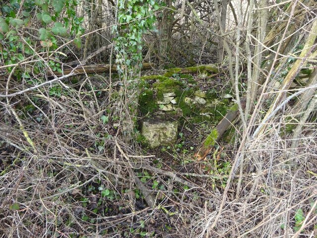
In addition to its natural splendor, Drive Covert holds historical significance as well. The woodland has been utilized for centuries, providing timber for construction and fuel. Remnants of old charcoal hearths and mining pits can still be found, offering glimpses into the area's past.
Overall, Drive Covert is a hidden gem within the Forest of Dean, offering visitors a chance to immerse themselves in the beauty of a traditional English woodland and explore its rich natural and historical heritage.
If you have any feedback on the listing, please let us know in the comments section below.
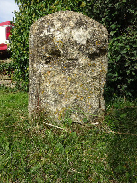
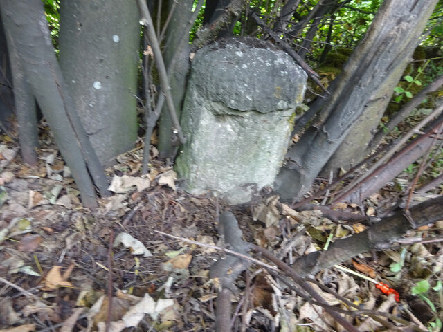
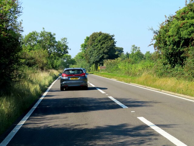
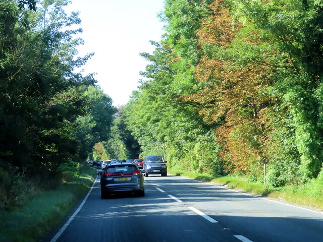
Drive Covert Images
Images are sourced within 2km of 51.810377/-1.6938994 or Grid Reference SP2112. Thanks to Geograph Open Source API. All images are credited.
Drive Covert is located at Grid Ref: SP2112 (Lat: 51.810377, Lng: -1.6938994)
Administrative County: Gloucestershire
District: Cotswold
Police Authority: Gloucestershire
What 3 Words
///archduke.invested.says. Near Burford, Oxfordshire
Nearby Locations
Related Wikis

Church of St Peter, Little Barrington
The Anglican Church of St Peter at Little Barrington in the civil parish of Barrington in the Cotswold District of Gloucestershire, England was built in...
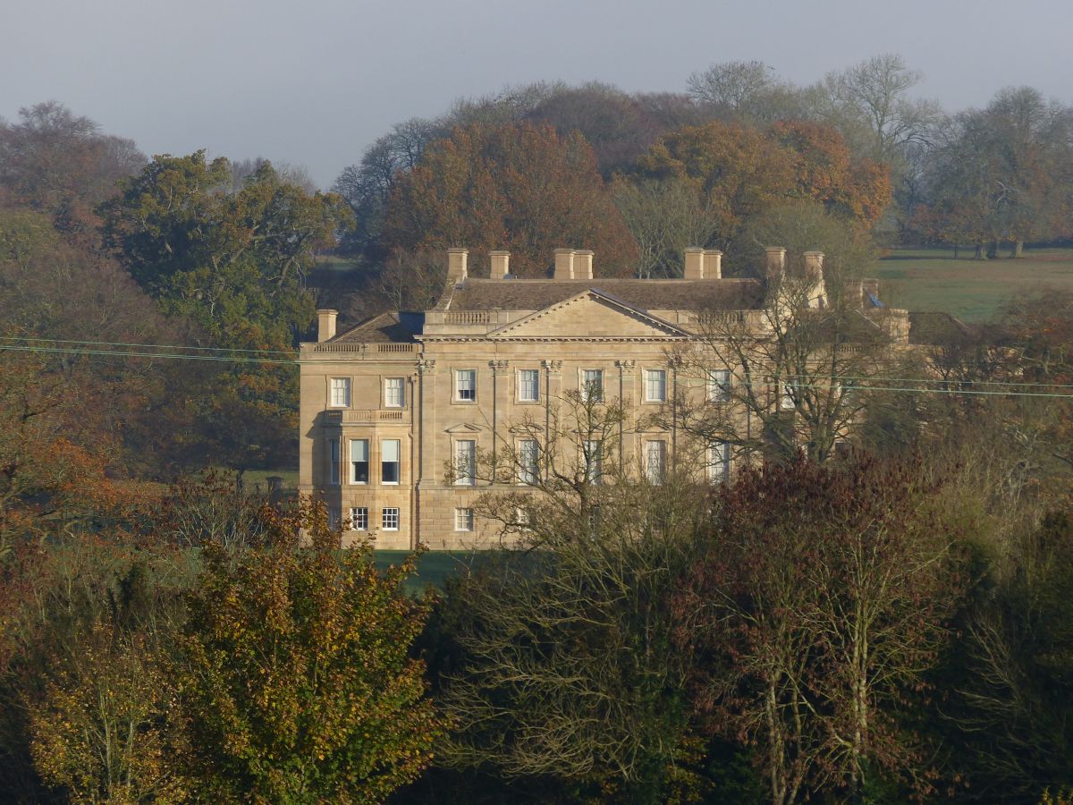
Barrington Park
Barrington Park is a Palladian style country house standing in an estate of the same name near the villages of Great Barrington and Little Barrington,...

Church of St Peter, Windrush
The Anglican Church of St Peter at Windrush in the Cotswold District of Gloucestershire, England was built in the 12th century. It is a grade I listed...

Taynton, Oxfordshire
Taynton is a village and civil parish about 1+1⁄2 miles (2.4 km) northwest of Burford in West Oxfordshire. The village is on Coombe Brook, a tributary...

Upton, West Oxfordshire
Upton is a hamlet on the River Windrush about 1 mile (1.6 km) west of Burford in Oxfordshire, England. Until 1954 Upton was part of the civil parish of...

Westwell, Oxfordshire
Westwell is a small village and civil parish about 2 miles (3 km) southwest of the market town of Burford in Oxfordshire. It is the westernmost village...

Westwell War Memorial
The Westwell War Memorial is a memorial to the Price brothers erected in the hamlet of Westwell, Oxfordshire after the First World War. The limestone...

Windrush, Gloucestershire
Windrush is a village and civil parish in Gloucestershire, England, approximately five miles southeast of Northleach. It lies in the Cotswolds on the River...
Nearby Amenities
Located within 500m of 51.810377,-1.6938994Have you been to Drive Covert?
Leave your review of Drive Covert below (or comments, questions and feedback).