Hay Wood

Wood, Forest in Warwickshire Warwick

England

Hay Wood

Gates to Windmill Cottage, Turner's Green An entrance on Finwood Road. Old maps show Windmill House here and a circular feature where a windmill  might have been. This is the same relatively high ground as the Rowington Mill site <a href="https://www.geograph.org.uk/photo/7378320">SP2070 : Rowington Mill, Rowington Green</a>.
Gates to Windmill Cottage, Turner's Green Credit: Robin Stott

Hay Wood is a small woodland located in the county of Warwickshire, England. Situated near the village of Wood, this forest covers an area of approximately 20 hectares and is known for its diverse and rich flora and fauna.

The woodland is predominantly composed of broadleaf trees, including oak, ash, and beech, creating a dense and lush canopy that provides shade and habitat for a variety of wildlife. The forest floor is covered with a carpet of bluebells and other wildflowers during the spring season, adding to the beauty and charm of the area.

Hay Wood is a popular destination for nature enthusiasts, hikers, and birdwatchers due to its tranquil and peaceful atmosphere. The forest is home to a wide range of bird species, including woodpeckers, owls, and various songbirds, making it an ideal spot for birdwatching. Additionally, deer and other mammals can often be spotted roaming through the woods.

The woodland is well-maintained with clearly marked trails that allow visitors to explore the area safely. There are also picnic areas and benches scattered throughout the forest, providing opportunities for visitors to relax and enjoy the surroundings.

Hay Wood is easily accessible by car, with parking facilities available nearby. It is a hidden gem in Warwickshire and offers a serene escape from the hustle and bustle of everyday life, allowing visitors to immerse themselves in the natural beauty of the English countryside.

If you have any feedback on the listing, please let us know in the comments section below.
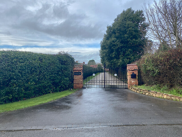
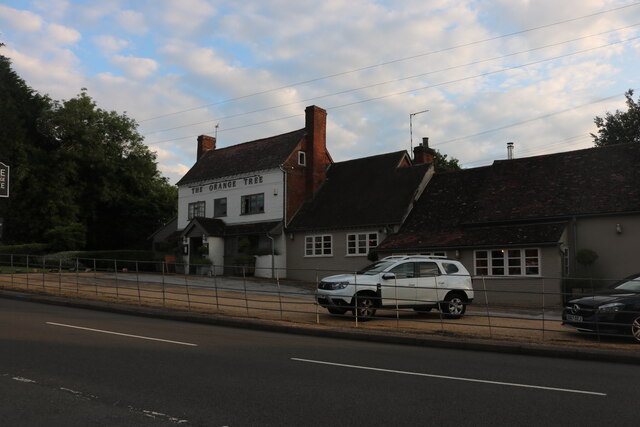
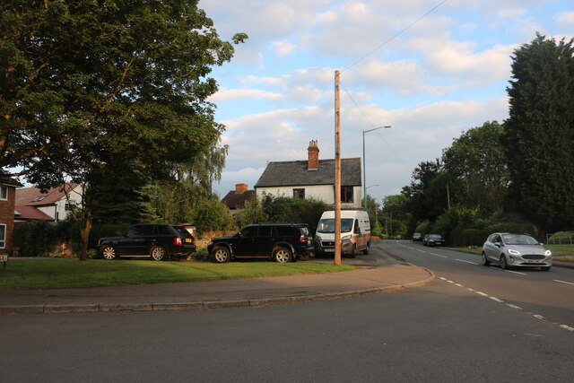
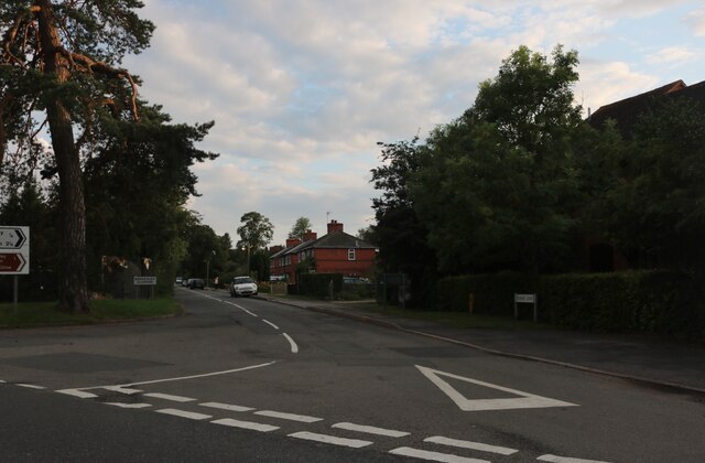
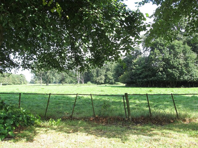
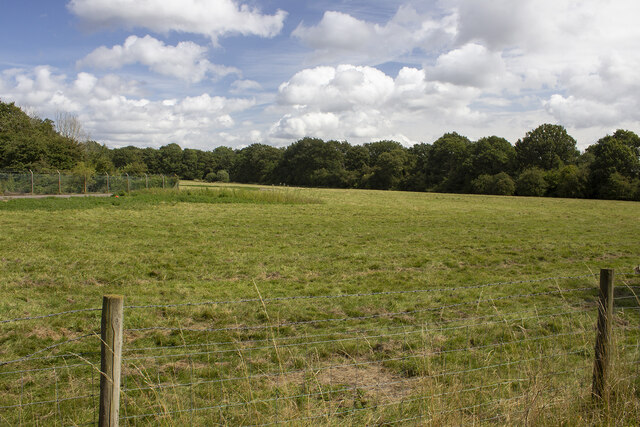
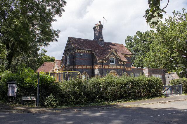
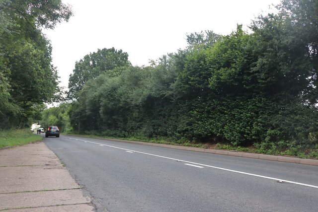
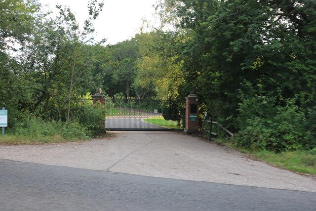
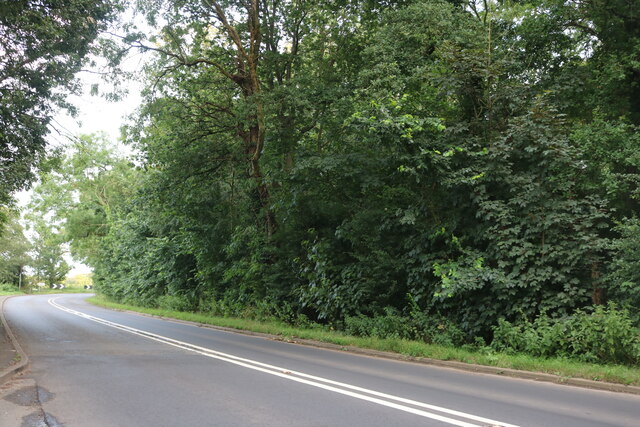
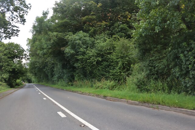
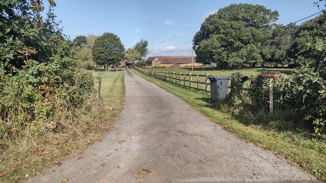
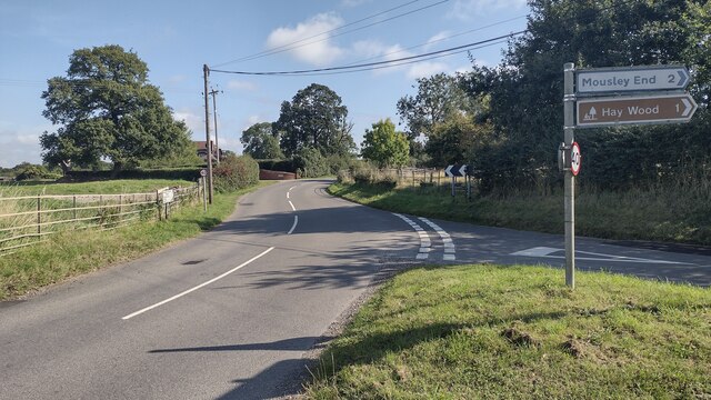
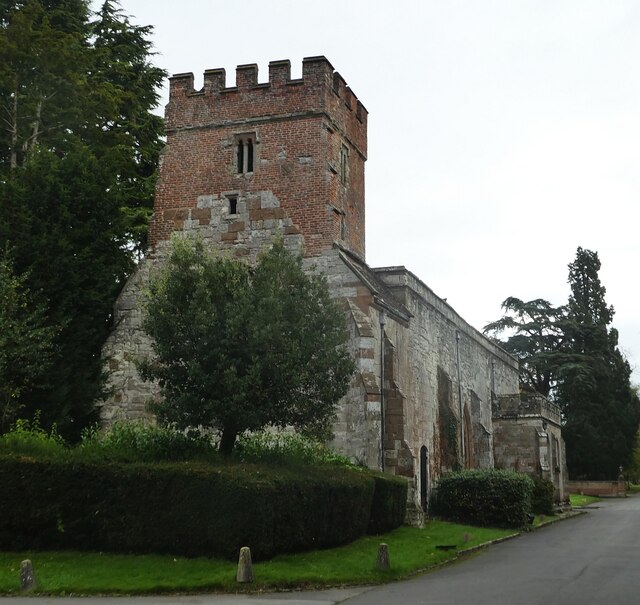
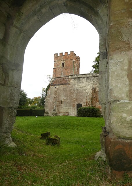
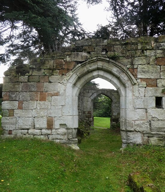
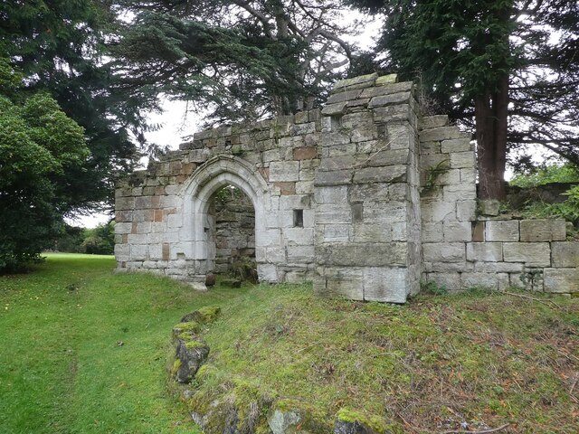
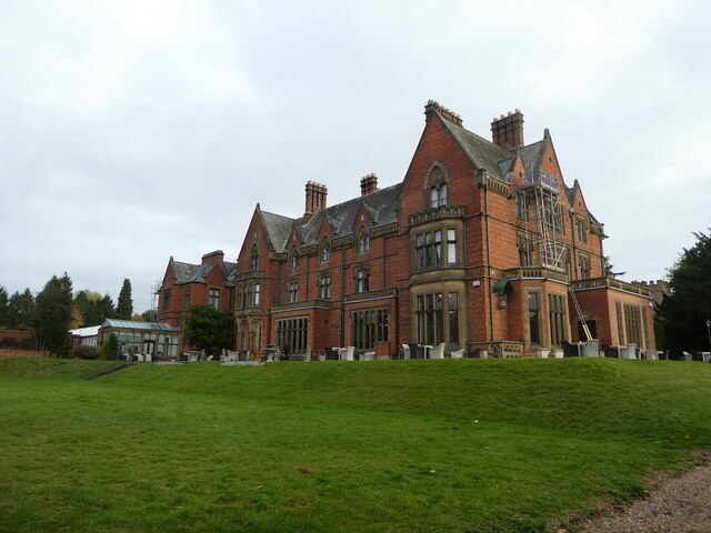
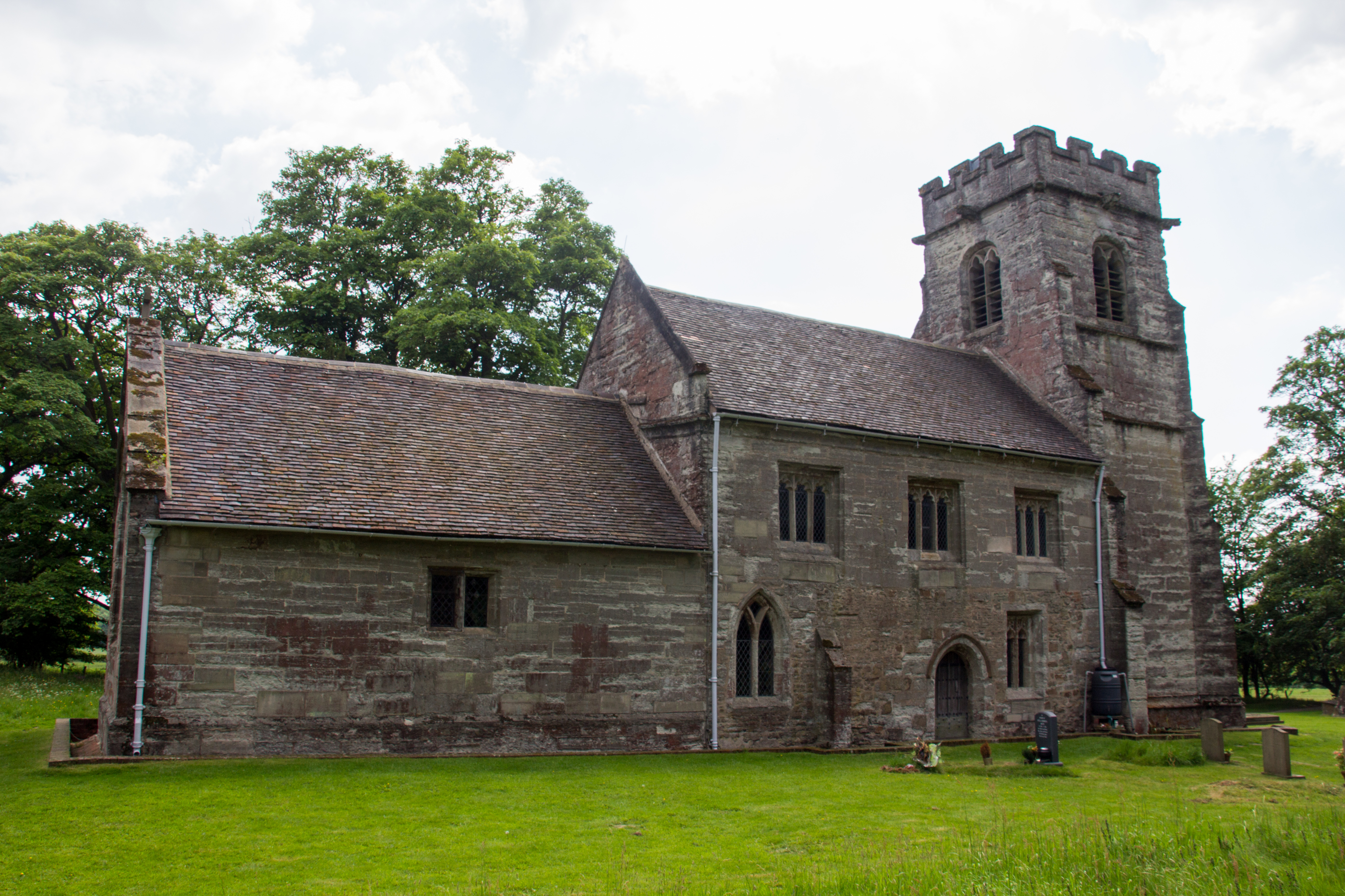
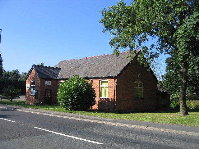
Hay Wood Images

Images are sourced within 2km of 52.339487/-1.6919649 or Grid Reference SP2171. Thanks to Geograph Open Source API. All images are credited.

Gates to Windmill Cottage, Turner's Green An entrance on Finwood Road. Old maps show Windmill House here and a circular feature where a windmill  might have been. This is the same relatively high ground as the Rowington Mill site <a href="https://www.geograph.org.uk/photo/7378320">SP2070 : Rowington Mill, Rowington Green</a>.
Gates to Windmill Cottage, Turner's Green
An entrance on Finwood Road. Old maps show Windmill House here and a circular feature where a windmill might have been. This is the same relatively high ground as the Rowington Mill site SP2070 : Rowington Mill, Rowington Green.
The Orange Tree, Chadwick End
Warwick Road, Chadwick End
Rising Lane, Baddesley Clinton
Wroxall Abbey Estate Farmland near the Lodge.
Wroxall Abbey Estate
Farmland near the Lodge.
Woodland off School Lane Field and woodland off School Lane. Perimeter fence to Jaguar Land Rover facility
Woodland off School Lane
Field and woodland off School Lane. Perimeter fence to Jaguar Land Rover facility
Wroxall School House
Birmingham Road, Baddesley Clinton
The entrance to Pheasant Lakes Farm, Wroxall
Birmingham Road, Wroxall
Birmingham Road approaching Five Ways
Path up to Green Farm Path and drive up to Green Farm
Path up to Green Farm
Path and drive up to Green Farm
Rising Lane Rising Lane passing the turn to Mousley End
Rising Lane
Rising Lane passing the turn to Mousley End
Wroxall Abbey - Church of St Leonard Dating originally from c.1315 with the west tower (seen prominently here) added in c.1663. It takes its dedication from the former St Leonard's priory, the ruins of which lie to its south. The church is to the east of the C19th Wroxall Abbey which was never actually an abbey. See shared description below for more information and links.
Wroxall Abbey - Church of St Leonard
Dating originally from c.1315 with the west tower (seen prominently here) added in c.1663. It takes its dedication from the former St Leonard's priory, the ruins of which lie to its south. The church is to the east of the C19th Wroxall Abbey which was never actually an abbey. See shared description below for more information and links.
Wroxall Abbey - St Leonard's church through priory arch Taken from inside the ruins of St Leonard's Priory looking through its northern arch to the tower of St Leonard's church. See shared description for more information.
Wroxall Abbey - St Leonard's church through priory arch
Taken from inside the ruins of St Leonard's Priory looking through its northern arch to the tower of St Leonard's church. See shared description for more information.
Wroxall Abbey - Arches of ruined St Leonard's priory Looking through the northern arch of part of the ruins of St Leonard's Priory (probably the former frater) through to the arch in its southern wall.
See also <a href="https://www.geograph.org.uk/photo/7006464">SP2270 : Wroxall Abbey - St Leonard's Priory ruins (frater)</a>
and <a href="https://www.geograph.org.uk/photo/7006832">SP2270 : Wroxall Abbey - St Leonard's Priory ruins (chapter house)</a>
and <a href="https://www.geograph.org.uk/photo/7006840">SP2270 : Wroxall Abbey - St Leonard's Priory ruins (both parts)</a>
and shared description below.
Wroxall Abbey - Arches of ruined St Leonard's priory
Looking through the northern arch of part of the ruins of St Leonard's Priory (probably the former frater) through to the arch in its southern wall. See also SP2270 : Wroxall Abbey - St Leonard's Priory ruins (frater) and SP2270 : Wroxall Abbey - St Leonard's Priory ruins (chapter house) and SP2270 : Wroxall Abbey - St Leonard's Priory ruins (both parts) and shared description below.
Wroxall Abbey - St Leonard's Priory ruins (frater) There are two main clumps of ruins of St Leonard's Priory at Wroxall Abbey - this is the most complete which lies to the WSW of the other remains (see <a href="https://www.geograph.org.uk/photo/7006832">SP2270 : Wroxall Abbey - St Leonard's Priory ruins (chapter house)</a>). It is thought that part of this ruin is the former priory frater, with a screens passage to the eastern end.
See also <a href="https://www.geograph.org.uk/photo/7006459">SP2270 : Wroxall Abbey - Arches of ruined St Leonard's priory</a>
and <a href="https://www.geograph.org.uk/photo/7006840">SP2270 : Wroxall Abbey - St Leonard's Priory ruins (both parts)</a>
and shared description below.
Wroxall Abbey - St Leonard's Priory ruins (frater)
There are two main clumps of ruins of St Leonard's Priory at Wroxall Abbey - this is the most complete which lies to the WSW of the other remains (see SP2270 : Wroxall Abbey - St Leonard's Priory ruins (chapter house)). It is thought that part of this ruin is the former priory frater, with a screens passage to the eastern end. See also SP2270 : Wroxall Abbey - Arches of ruined St Leonard's priory and SP2270 : Wroxall Abbey - St Leonard's Priory ruins (both parts) and shared description below.
Wroxall Abbey - rear view The rear (western) aspect of Wroxall Abbey. See shared description for more information.
Wroxall Abbey - rear view
The rear (western) aspect of Wroxall Abbey. See shared description for more information.
Show me another place!

Hay Wood is located at Grid Ref: SP2171 (Lat: 52.339487, Lng: -1.6919649)

Administrative County: Warwickshire

District: Warwick

Police Authority: Warwickshire

What 3 Words

///intruding.leaves.ruled. Near Wroxall, Warwickshire

Nearby Locations

Hay Wood

Related Wikis

Nearby Amenities

Located within 500m of 52.339487,-1.6919649
The data included in this document is from www.openstreetmap.org. The data is made available under ODbL.

Have you been to Hay Wood?

Leave your review of Hay Wood below (or comments, questions and feedback).