Blackdean Wood
Wood, Forest in Northumberland
England
Blackdean Wood

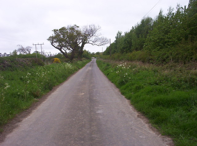
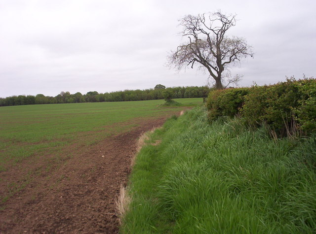
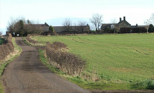
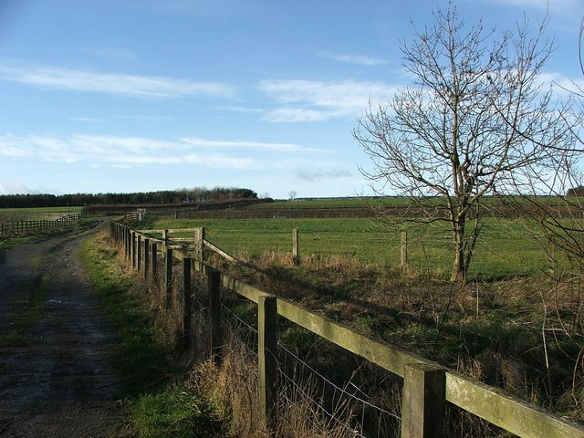
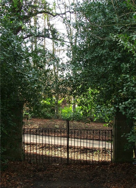
Blackdean Wood is a picturesque woodland area located in the county of Northumberland, England. Spread across an area of approximately 100 acres, this forested land is part of the North Pennines Area of Outstanding Natural Beauty. It is nestled within the Allen Valleys, which are renowned for their stunning landscapes and rich biodiversity.
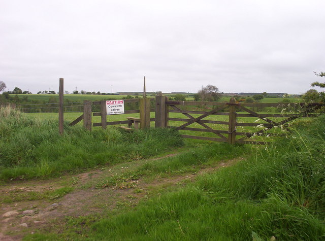
The wood is dominated by a diverse mix of tree species, including oak, birch, and rowan, creating a lush and vibrant canopy. The forest floor is carpeted with a variety of wildflowers, ferns, and mosses, adding to the enchanting atmosphere of the woodland. Numerous walking trails wind their way through the wood, allowing visitors to explore and immerse themselves in the natural beauty of the surroundings.
Blackdean Wood is home to a wide range of wildlife, making it a haven for nature enthusiasts and birdwatchers. The area supports a healthy population of woodland birds, such as woodpeckers, thrushes, and owls. Mammals like red squirrels, badgers, and roe deer can also be spotted in the forest, adding to the allure of the wood.
The woodland is well-maintained by local conservation organizations, ensuring the preservation of its natural features and protecting its inhabitants. It offers an ideal setting for outdoor activities, such as picnicking, wildlife photography, and nature walks. Moreover, with its tranquil ambiance and breathtaking vistas, Blackdean Wood provides a much-needed escape from the hustle and bustle of everyday life, allowing visitors to connect with nature and find solace in its peaceful surroundings.
If you have any feedback on the listing, please let us know in the comments section below.
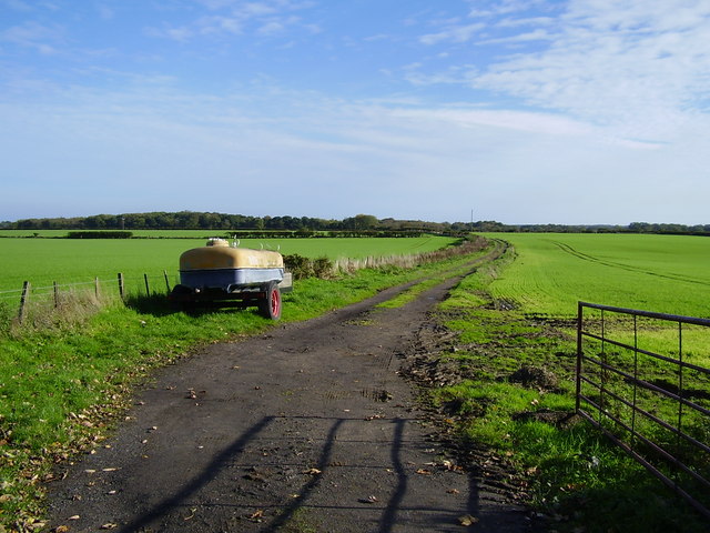
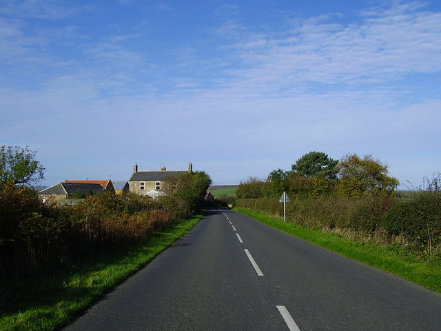
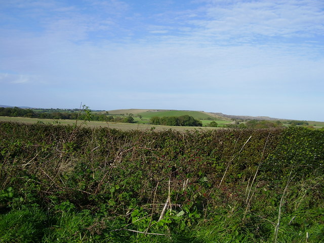
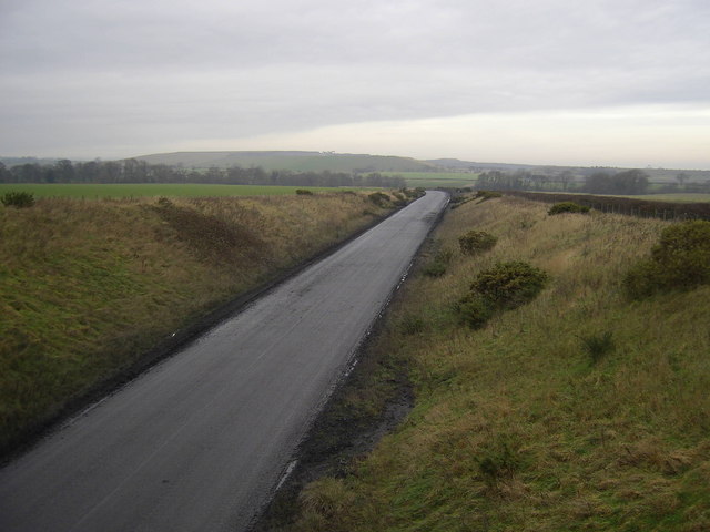
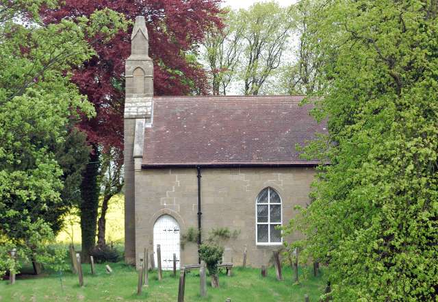
Blackdean Wood Images
Images are sourced within 2km of 55.215411/-1.6701431 or Grid Reference NZ2191. Thanks to Geograph Open Source API. All images are credited.


Blackdean Wood is located at Grid Ref: NZ2191 (Lat: 55.215411, Lng: -1.6701431)
Unitary Authority: Northumberland
Police Authority: Northumbria
What 3 Words
///passions.comb.unheated. Near Hebron, Northumberland
Nearby Locations
Related Wikis
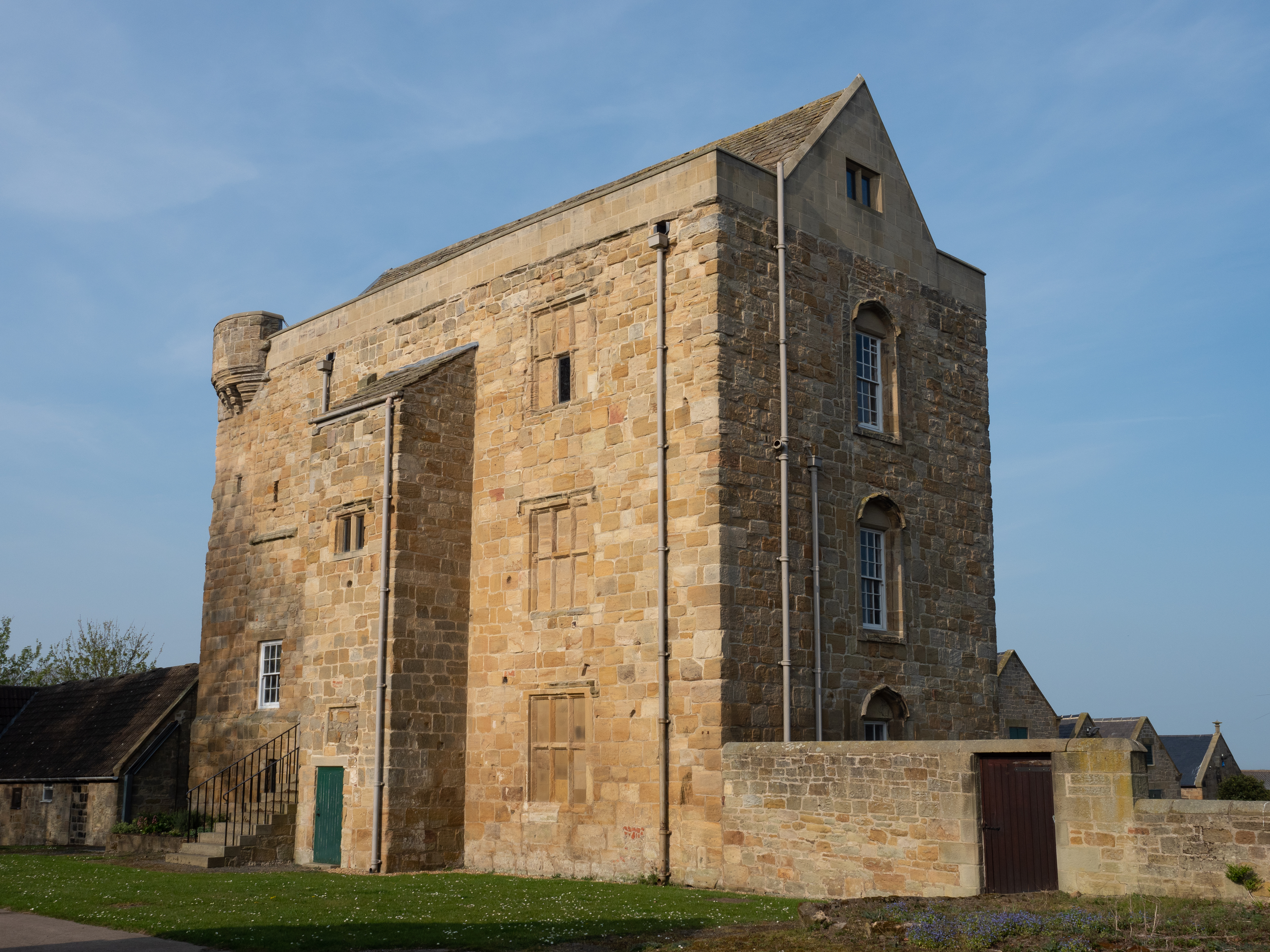
Cockle Park Tower
Cockle Park Tower is a Grade 1 listed building in the hamlet of Cockle Park, Northumberland, England, some 4 miles (6 km) to the north of Morpeth. This...

Tritlington
Tritlington is a hamlet and former civil parish about 4 miles from Morpeth, now in the parish of Tritlington and West Chevington, in the county of Northumberland...
Hebron, Northumberland
Hebron is a village and civil parish 2 miles (3.2 km) north of Morpeth, in the county of Northumberland, England. In 2011 the parish had a population of...

Longhirst
Longhirst is a village and civil parish in Northumberland, England, located approximately 2.5 miles (4.0 km) northeast of the town of Morpeth. It originally...

Ulgham
Ulgham is a small village in Northumberland, England. The name Ulgham is pronounced 'Uffam': [ˈʊfəm] (locally), [ˈʌfəm] (RP). It is known as the 'village...

Longhirst railway station
Longhirst railway station served the village of Longhirst, Morpeth, England from 1847 to 1964 on the East Coast Main Line. == History == The station was...
Ashington Colliery Junction railway station
Ashington Colliery Junction railway station served the town of Ashington, Northumberland, England from 1871 to 1878 on the York, Newcastle and Berwick...
Causey Park Bridge
Causey Park Bridge is a village in Northumberland, England. It is about 6 miles (10 km) to the north of Morpeth and a similar distance inland from the...
Have you been to Blackdean Wood?
Leave your review of Blackdean Wood below (or comments, questions and feedback).