Arminghall

Settlement in Norfolk South Norfolk

England

Arminghall

Hill House, Framingham Pigot
Hill House, Framingham Pigot Credit: TCExplorer

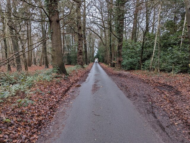
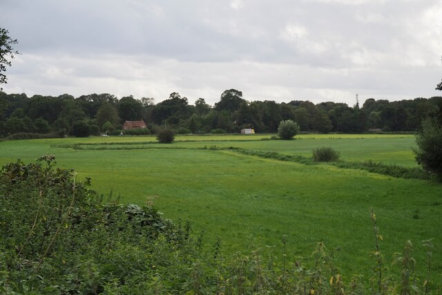
Arminghall is a small village located in the county of Norfolk, England. Situated about 4 miles south of Norwich, it falls within the civil parish of Stoke Holy Cross. The village is nestled in a rural setting, surrounded by picturesque countryside and farmland.

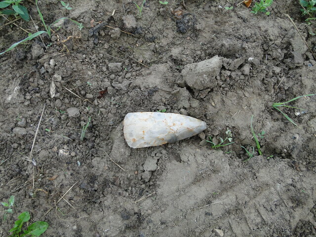
Historically, Arminghall was an important settlement during the Roman era. It was once a thriving market town and an important crossroads for trade routes, particularly due to its proximity to the River Tas. Today, remnants of its Roman past can still be seen, including the remains of a Roman fort and a burial site.

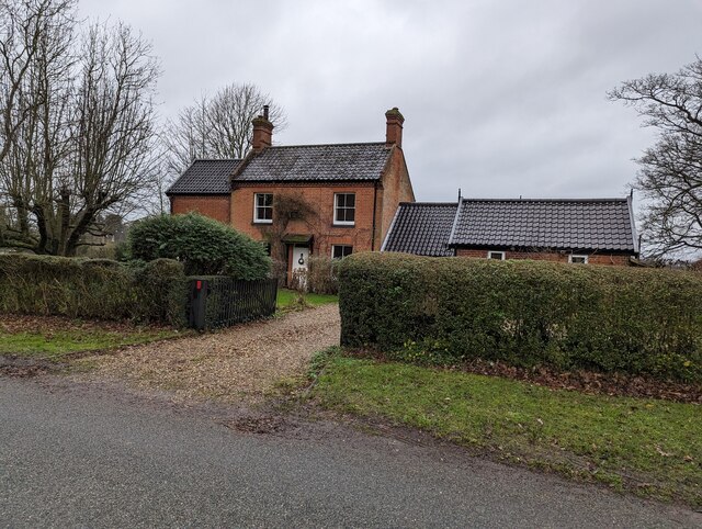
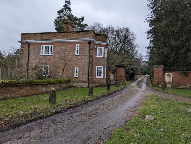
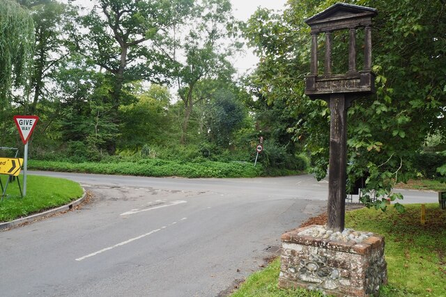
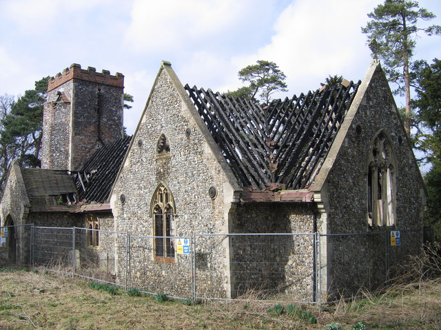
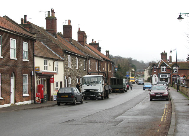
The village itself is characterized by its charming cottages and traditional architecture. It has a close-knit community and a peaceful atmosphere, making it an ideal place for those seeking a quiet and tranquil lifestyle. Despite its small size, Arminghall offers a range of amenities including a village hall, a primary school, and a local pub.

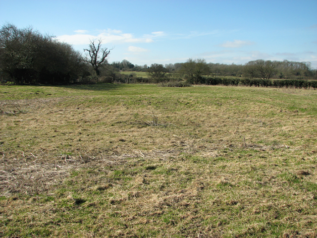
One of the village's notable attractions is the Arminghall Henge, a circular earthwork believed to be a Neolithic henge monument. It is a popular spot for both locals and tourists alike, providing an insight into the area's ancient history.

While Arminghall may be a small village, its proximity to Norwich means residents have easy access to a wider range of amenities and services. The city offers a plethora of cultural, leisure, and shopping opportunities, making Arminghall an appealing place to live for those who desire a balance between rural and urban living.

If you have any feedback on the listing, please let us know in the comments section below.
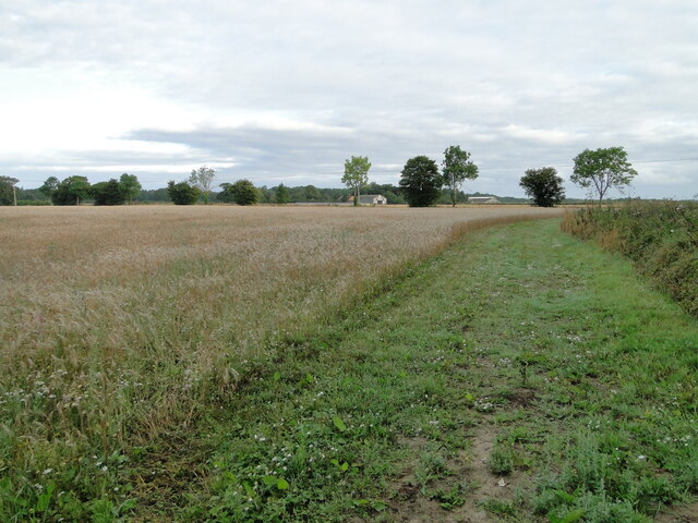
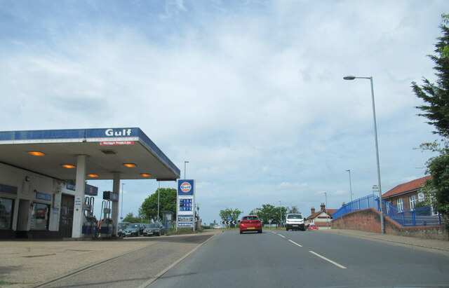
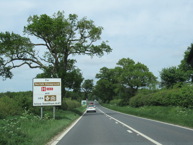
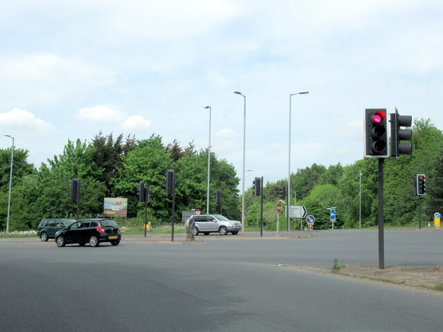
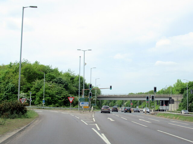
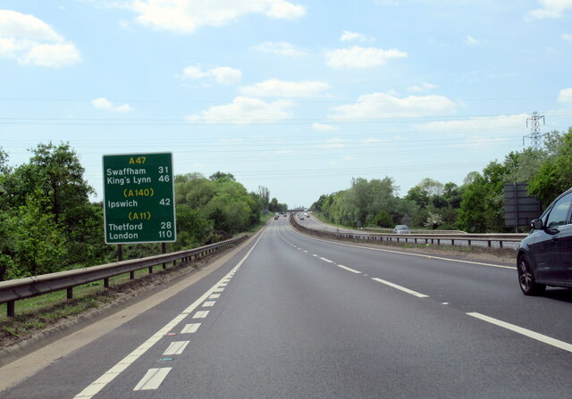
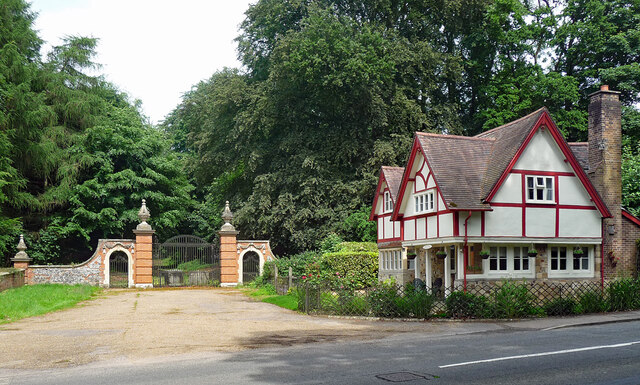
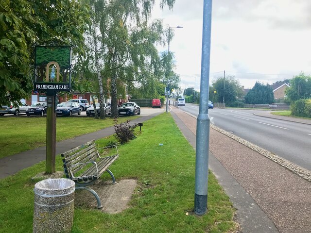
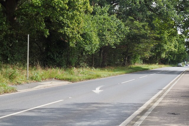
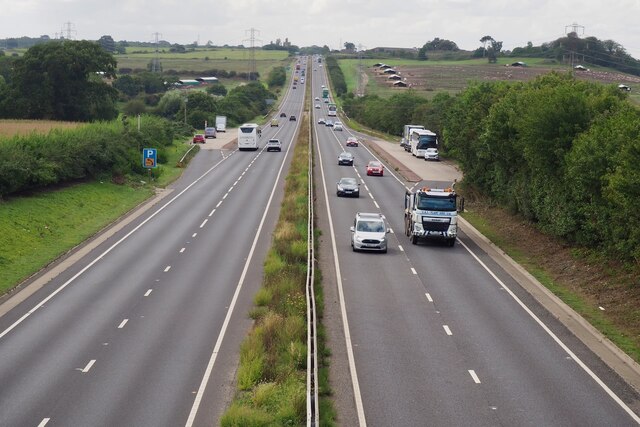
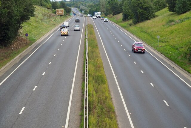
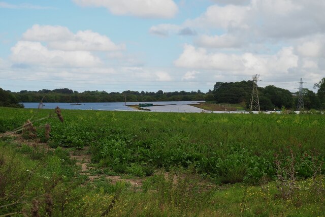
Arminghall Images

Images are sourced within 2km of 52.591047/1.326309 or Grid Reference TG2504. Thanks to Geograph Open Source API. All images are credited.

Hill House, Framingham Pigot
North Lodge, Framingham Pigot This was once the entrance to Framingham Hall, which was shown on a 1797 map. The hall was formerly lived in by Geoffrey Colman. It was demolished in 1973, but the gate houses and walls remain. It is not listed.
North Lodge, Framingham Pigot
This was once the entrance to Framingham Hall, which was shown on a 1797 map. The hall was formerly lived in by Geoffrey Colman. It was demolished in 1973, but the gate houses and walls remain. It is not listed.
Spur Lane, Framingham Pigot
Neolithic polished flint axe The axe, which measures 135mm x 60mm and about 6,000 years old, was found close to this spot in 1977.
The general location can be seen here <a title="https://www.geograph.org.uk/photo/6946224" href="https://www.geograph.org.uk/photo/6946224">Link</a>
Neolithic polished flint axe
The axe, which measures 135mm x 60mm and about 6,000 years old, was found close to this spot in 1977. The general location can be seen here Link
Field headland A polished neolithic flint axe was found in this field in 1977 <a href="https://www.geograph.org.uk/photo/6946221">TG2605 : Neolithic polished flint axe</a>
Field headland
A polished neolithic flint axe was found in this field in 1977 TG2605 : Neolithic polished flint axe
The B1332 passing the Gulf Garage, Poringland
The B1332 with information sign
The B1332 junction with the A146 approaching Norwich
The A146 joining the A47 at Norwich
The A47 west, 31 miles to Swaffham
Lodge and gates, Trowse Newton North Lodge, former entrance to Whitlingham Hall (<a href="https://www.geograph.org.uk/photo/4769135">TG2506 : Crown Point Hall</a>). By George Devey, c1864.
Lodge and gates, Trowse Newton
North Lodge, former entrance to Whitlingham Hall (TG2506 : Crown Point Hall). By George Devey, c1864.
Village sign for Framingham Earl Beside the B1332 Narwich Road
Village sign for Framingham Earl
Beside the B1332 Narwich Road
It is an ex-bus stop On the B1332, Bungay Road.
It is an ex-bus stop
On the B1332, Bungay Road.
The A47 Looking south west from Stoke Road.
The A47
Looking south west from Stoke Road.
The A47 Looking north east from Stoke Road.
The A47
Looking north east from Stoke Road.
Solar Farm South of Trowse Newton
Solar Farm
South of Trowse Newton
A small tributary of the River Tas Meanders across a field.
A small tributary of the River Tas
Meanders across a field.
Road junction at Caistor St Edmund With a rather dull village sign see <a href="https://www.geograph.org.uk/photo/6797396">TG2303 : Caistor St Edmund village sign</a>
Road junction at Caistor St Edmund
With a rather dull village sign see TG2303 : Caistor St Edmund village sign
Show me another place!

Arminghall is located at Grid Ref: TG2504 (Lat: 52.591047, Lng: 1.326309)

Administrative County: Norfolk

District: South Norfolk

Police Authority: Norfolk

What 3 Words

///shorts.paint.repair. Near Poringland, Norfolk

Related Wikis

Arminghall

Arminghall is a village and former civil parish, now in the parish of Caistor St Edmund and Bixley, in the South Norfolk district, in the county of Norfolk...

Bixley medieval settlement

Bixley medieval settlement is a deserted medieval village in Norfolk, England, about 2 miles (3.2 km) south-east of Norwich. It is a Scheduled Monument...

Bixley

Bixley is a former civil parish now in the parish of Caistor St Edmund and Bixley, in the South Norfolk district of Norfolk, England. According to the...

Framingham Earl High School

Framingham Earl High School is a secondary school located in Framingham Earl in the English county of Norfolk to the south of Norwich. The school enrolls...

Caistor St Edmund Chalk Pit

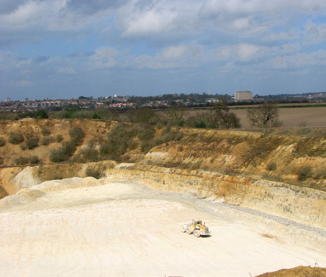
Caistor St Edmund Chalk Pit is a 23.6-hectare (58-acre) geological Site of Special Scientific Interest south of Norwich in Norfolk. It is a Geological...

Caistor St Edmund

Caistor St Edmund is a village and former civil parish on the River Tas, now in the parish of Caistor St Edmund and Bixley, in the South Norfolk district...

Framingham Pigot

Framingham Pigot is a village and civil parish in the English county of Norfolk. The village is located 6.4 miles (10.3 km) north-west of Loddon and 3...

Trowse

Trowse (pronounced by those from Norwich and by elderly residents of the village), also called Trowse with Newton, is a village in South Norfolk which...

Nearby Amenities

Located within 500m of 52.591047,1.326309
Power: pole
Lat/Long: 52.594539/1.323708
Power: pole
Lat/Long: 52.592356/1.332908
Power: pole
Lat/Long: 52.592563/1.331451
Power: pole
Lat/Long: 52.592771/1.330003
Power: pole
Lat/Long: 52.59312/1.32849
Power: pole
Lat/Long: 52.593523/1.326696
Power: pole
Lat/Long: 52.593948/1.324917
Bus Stop
Church Close, adj
Naptan AtcoCode: 2900B311
Naptan Bearing: SE
Naptan CommonName: Church Close
Naptan Indicator: adj
Naptan Landmark: Church Close
Naptan Locality: Arminghall
Naptan NaptanCode: nfoadwta
Naptan PlusbusZoneRef: NRCH
Naptan ShortCommonName: Church Close
Naptan Street: Arminghall Lane
Naptan Verified: no
Source: naptan_import
Lat/Long: 52.5892581/1.324435
Arminghall
Is In: Norfolk
Place: village
Wikidata: Q4793576
Wikipedia: en:Arminghall
Lat/Long: 52.5897338/1.3237818
Turning Circle
Lat/Long: 52.5900546/1.325177
Bus Stop
Church Close, opp
Naptan AtcoCode: 2900B312
Naptan Bearing: NW
Naptan BusStopType: CUS
Naptan CommonName: Church Close
Naptan Indicator: opp
Naptan Landmark: Village Hall
Naptan Locality: Arminghall
Naptan NaptanCode: nfoadwtd
Naptan PlusbusZoneRef: NRCH
Naptan ShortCommonName: Church Close
Naptan Street: Arminghall Lane
Naptan Verified: no
Source: naptan_import
Lat/Long: 52.5891277/1.3246939
Bench
Backrest: yes
Material: plastic
Seats: 3
Lat/Long: 52.589273/1.3244064
Entrance: main
Lat/Long: 52.5898999/1.323645
Disused Entrance: yes
Lat/Long: 52.5899809/1.3236556
Bench
Backrest: yes
Colour: maroon
Inscription: yes
Lat/Long: 52.5892461/1.3239451
Arminghall Village
Alt Name: Arminghall
Man Made: village_sign
Material: metal
Lat/Long: 52.5892331/1.3239404
Entrance: main
Lat/Long: 52.5892171/1.3238701
Bench
Backrest: yes
Material: wood
Seats: 2
Lat/Long: 52.589922/1.323587
Bench
Backrest: no
Material: wood
Seats: 2
Lat/Long: 52.5890421/1.3201243
Give Way
Lat/Long: 52.5892914/1.3241845
Hiking: yes
Information: route_marker
Tourism: information
Lat/Long: 52.5890754/1.3202383
The data included in this document is from www.openstreetmap.org. The data is made available under ODbL.

Have you been to Arminghall?

Leave your review of Arminghall below (or comments, questions and feedback).