Bixleybottom Plantation
Wood, Forest in Norfolk South Norfolk
England
Bixleybottom Plantation

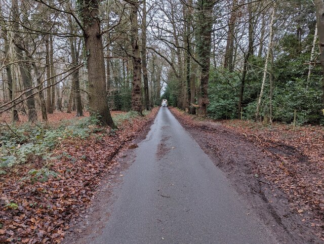
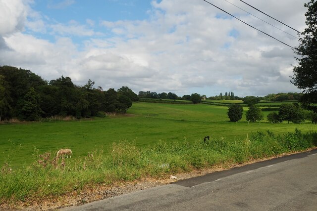
Bixleybottom Plantation is a picturesque woodland located in Norfolk, England. Situated near the village of Bixley, it covers an expansive area of approximately 100 hectares. The plantation is renowned for its lush greenery, dense forests, and diverse wildlife, making it a popular destination for nature enthusiasts and outdoor enthusiasts alike.
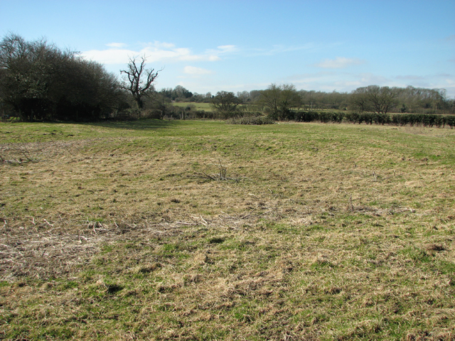
The woodland is primarily composed of broadleaf trees such as oak, beech, and ash, which create a vibrant canopy that provides shade and shelter for an array of flora and fauna. The forest floor is adorned with a rich assortment of wildflowers, ferns, and mosses, adding to the overall natural beauty of the area.
Bixleybottom Plantation is a haven for wildlife, with numerous species calling it home. Visitors may spot deer, foxes, badgers, and a variety of bird species, including woodpeckers, owls, and thrushes. The plantation also boasts several ponds and streams, attracting amphibians such as frogs and newts.
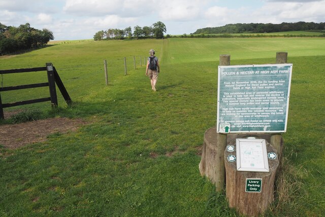
For visitors looking to explore the woodland, there are well-maintained walking trails that wind through the plantation, allowing for a peaceful and immersive experience in nature. These trails provide opportunities for hikers to observe the flora and fauna up close while breathing in the crisp, fresh air.
Additionally, Bixleybottom Plantation offers educational programs and guided tours, sharing insights about the local ecosystem and its significance for conservation efforts. The plantation is committed to maintaining its natural beauty and preserving the habitat for future generations to enjoy.
Overall, Bixleybottom Plantation is a stunning woodland retreat, offering a tranquil escape from the bustling city life and providing a haven for both nature lovers and wildlife alike.
If you have any feedback on the listing, please let us know in the comments section below.
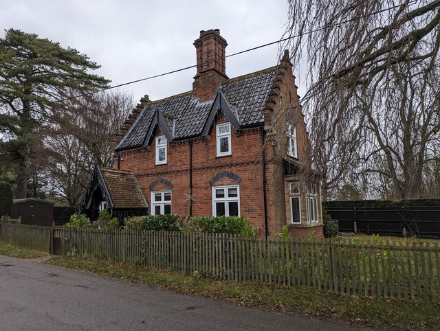
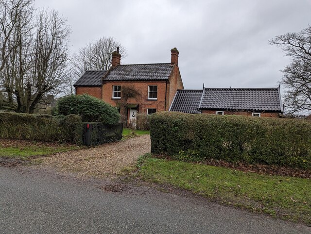
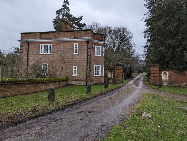
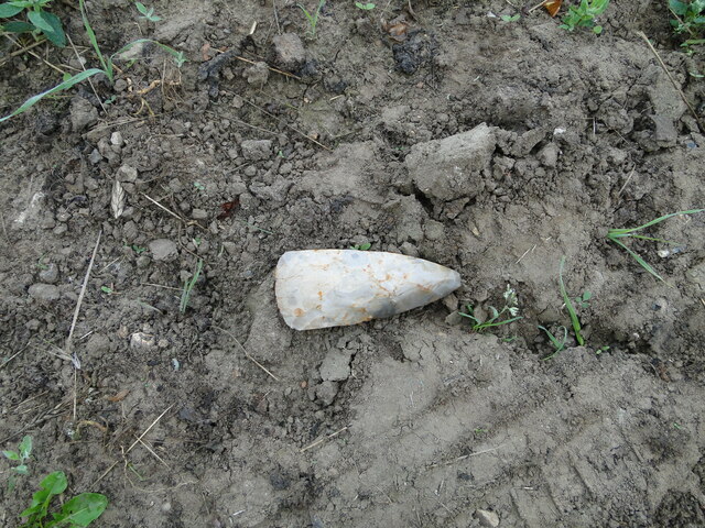
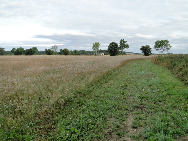
Bixleybottom Plantation Images
Images are sourced within 2km of 52.588062/1.3325954 or Grid Reference TG2504. Thanks to Geograph Open Source API. All images are credited.


Bixleybottom Plantation is located at Grid Ref: TG2504 (Lat: 52.588062, Lng: 1.3325954)
Administrative County: Norfolk
District: South Norfolk
Police Authority: Norfolk
What 3 Words
///tilt.twins.clip. Near Poringland, Norfolk
Nearby Locations
Related Wikis

Arminghall
Arminghall is a village and former civil parish, now in the parish of Caistor St Edmund and Bixley, in the South Norfolk district, in the county of Norfolk...
Bixley medieval settlement
Bixley medieval settlement is a deserted medieval village in Norfolk, England, about 2 miles (3.2 km) south-east of Norwich. It is a Scheduled Monument...

Framingham Earl High School
Framingham Earl High School is a secondary school located in Framingham Earl in the English county of Norfolk to the south of Norwich. The school enrolls...
Bixley
Bixley is a former civil parish now in the parish of Caistor St Edmund and Bixley, in the South Norfolk district of Norfolk, England. According to the...

Framingham Pigot
Framingham Pigot is a village and civil parish in the English county of Norfolk. The village is located 6.4 miles (10.3 km) north-west of Loddon and 3...
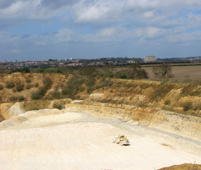
Caistor St Edmund Chalk Pit
Caistor St Edmund Chalk Pit is a 23.6-hectare (58-acre) geological Site of Special Scientific Interest south of Norwich in Norfolk. It is a Geological...

Caistor St Edmund
Caistor St Edmund is a village and former civil parish on the River Tas, now in the parish of Caistor St Edmund and Bixley, in the South Norfolk district...

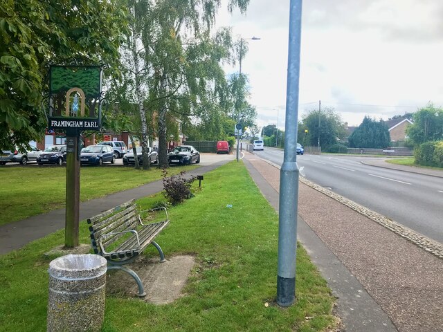
Framingham Earl
Framingham Earl is a small village and civil parish in the English county of Norfolk. The village is located 5.8 miles (9.3 km) north-west of Loddon and...
Nearby Amenities
Located within 500m of 52.588062,1.3325954Have you been to Bixleybottom Plantation?
Leave your review of Bixleybottom Plantation below (or comments, questions and feedback).