Aizle's Wood
Wood, Forest in Gloucestershire Cotswold
England
Aizle's Wood
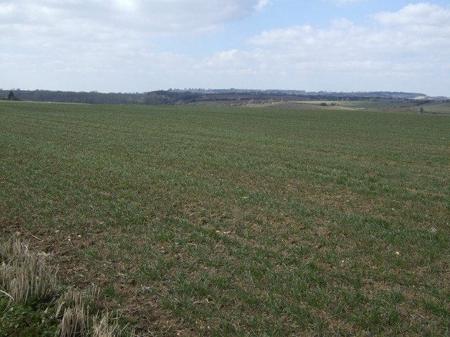
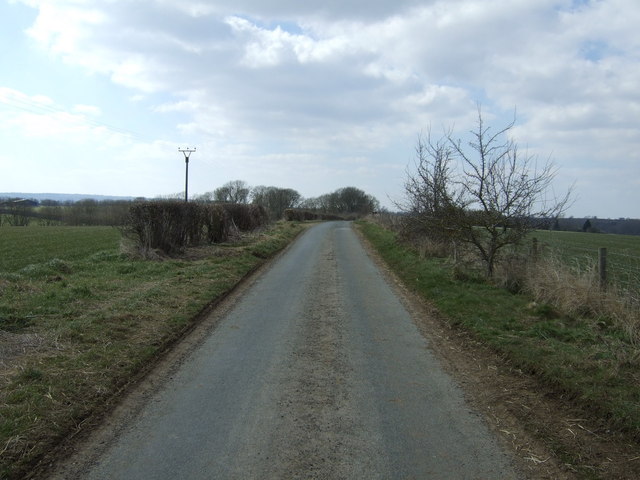
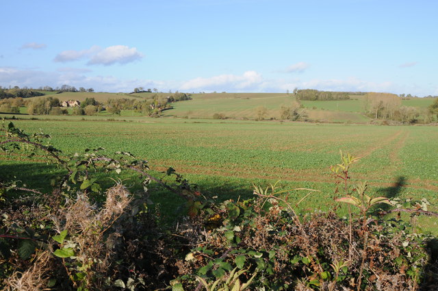
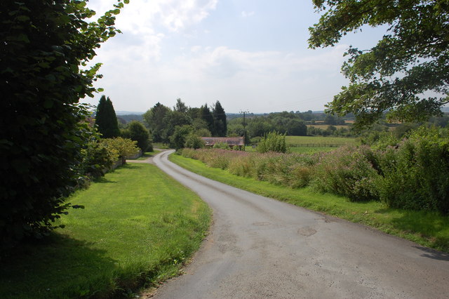
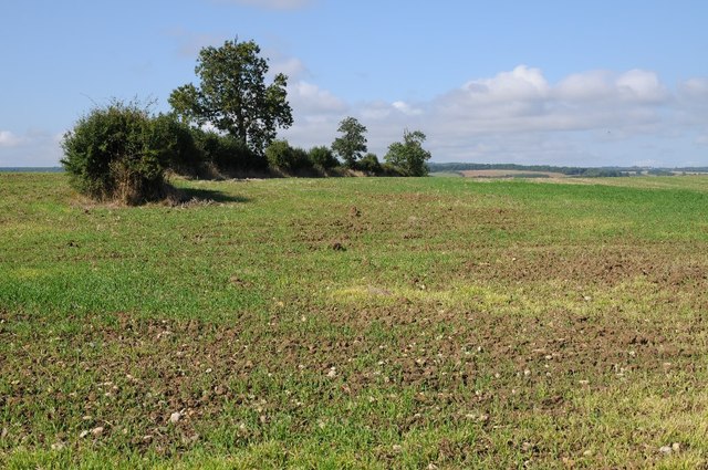
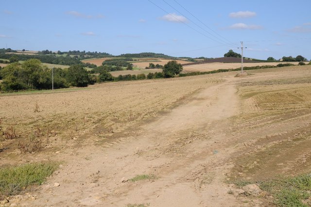
Aizle's Wood is a picturesque forest located in the county of Gloucestershire, England. Stretching across an area of approximately 100 acres, this woodland is known for its natural beauty, abundant wildlife, and tranquil atmosphere. The wood is situated within the larger Forest of Dean, which adds to its overall charm and appeal.
Covered primarily by oak and beech trees, Aizle's Wood boasts a dense canopy that provides shade and shelter for a variety of flora and fauna. The forest floor is carpeted with a rich layer of moss, ferns, and wildflowers, creating a vibrant and colorful landscape. Visitors can enjoy leisurely walks or peaceful picnics amidst the serene surroundings.
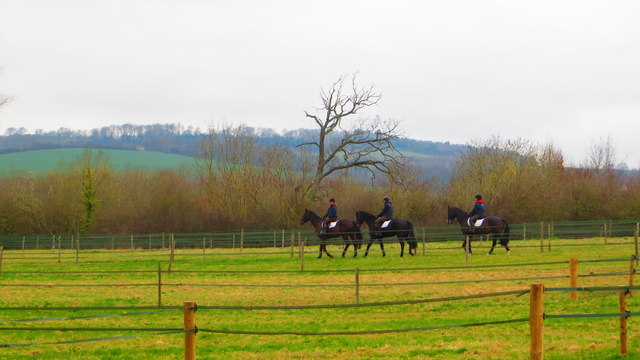
The woodland is home to a diverse range of animal species, including deer, foxes, badgers, and various bird species. Birdwatchers can spot woodpeckers, owls, and other feathered creatures that inhabit the area.
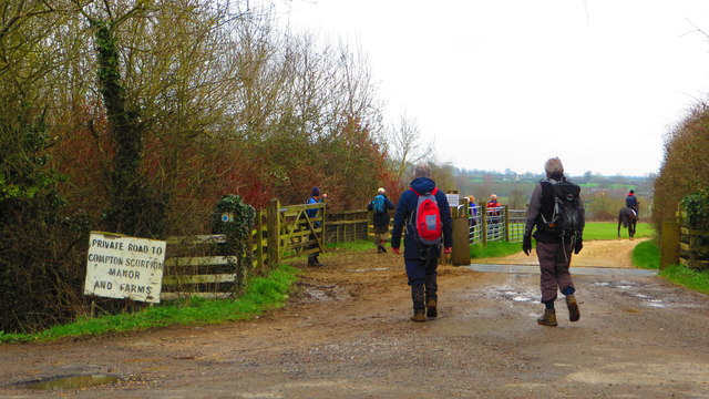
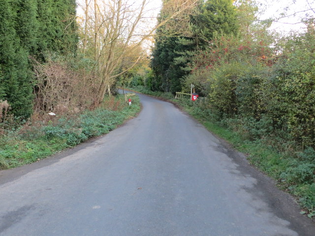
Aizle's Wood offers numerous walking trails, allowing visitors to explore the forest at their own pace. These paths wind through the ancient trees, offering glimpses of hidden glades and babbling brooks along the way. The wood is also intersected by a small stream, adding a soothing soundtrack to the natural setting.
With its enchanting beauty and peaceful ambiance, Aizle's Wood is a popular destination for nature lovers, photographers, and those seeking a break from the hustle and bustle of everyday life. It provides a welcome escape into the tranquility of nature, making it a must-visit location in Gloucestershire.
If you have any feedback on the listing, please let us know in the comments section below.
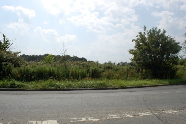
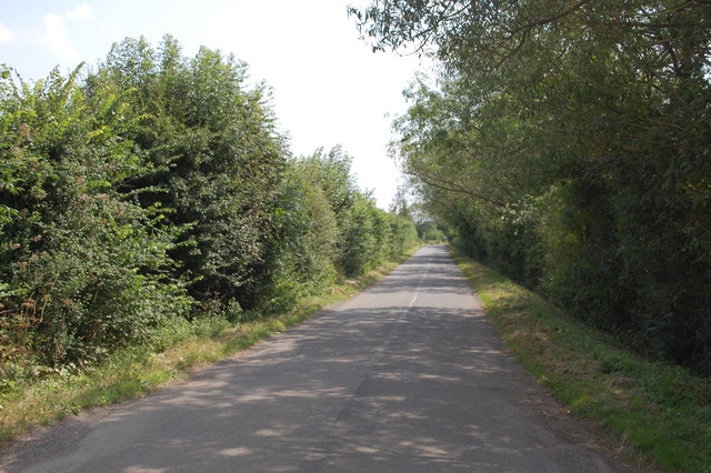
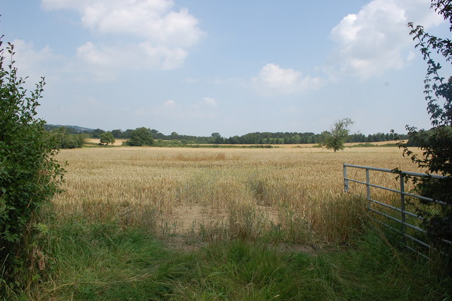
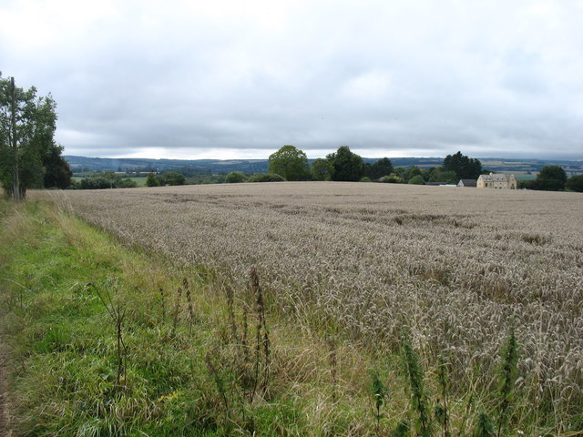
Aizle's Wood Images
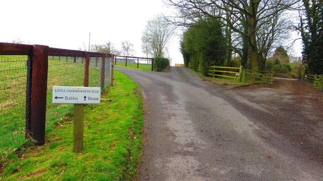
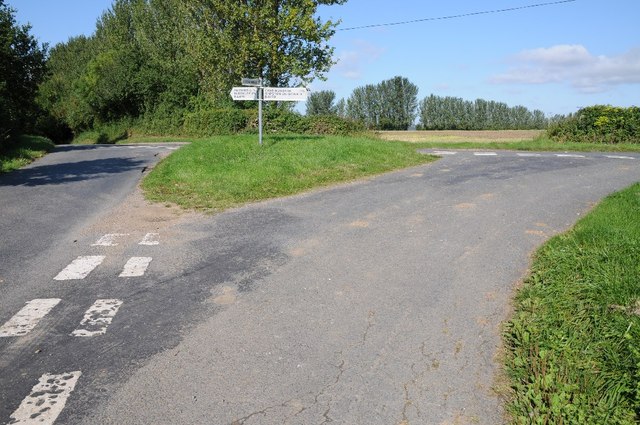
Images are sourced within 2km of 52.039586/-1.7068146 or Grid Reference SP2037. Thanks to Geograph Open Source API. All images are credited.
Aizle's Wood is located at Grid Ref: SP2037 (Lat: 52.039586, Lng: -1.7068146)
Administrative County: Gloucestershire
District: Cotswold
Police Authority: Gloucestershire
What 3 Words
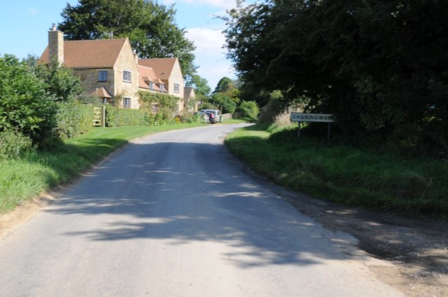
///casino.aspect.unfilled. Near Blockley, Gloucestershire
Nearby Locations
Related Wikis

Upper Ditchford
Upper Ditchford is an abandoned village to the west of the Fosse Way between Moreton-in-Marsh and Stretton on Fosse, now in the county of Gloucestershire...

Blockley railway station
Blockley railway station served the village of Blockley, Gloucestershire, England from 1853 to 1966 on the Oxford, Worcester and Wolverhampton Railway...
Stretton-on-Fosse
Stretton-on-Fosse is a village in the Stratford District in Warwickshire, England. It is situated between the towns of Moreton-in-Marsh and Shipston-on...

Aston Magna
Aston Magna is a hamlet located off Fosse Way in north Gloucestershire, England, between Moreton-in-Marsh and Shipston-on-Stour. It forms part of the...

Wellacre Quarry
Wellacre Quarry (grid reference SP180370) is a 12.3 hectare geological Site of Special Scientific Interest in Gloucestershire, notified in 1974. It is...
A429 road
The A429 is a main road in England that runs in a north-northeasterly direction from junction 17 of the M4 motorway (4 miles (6.4 km) north of Chippenham...

Ebrington
Ebrington (known locally as Yabberton or Yubberton) is a village and civil parish in Gloucestershire, England, about 2 miles (3.2 km) from Chipping Campden...
Stretton-on-Fosse railway station
Stretton-on-Fosse railway station was a railway station which served the village of Stretton-on-Fosse, Warwickshire, England. It was located north-east...
Nearby Amenities
Located within 500m of 52.039586,-1.7068146Have you been to Aizle's Wood?
Leave your review of Aizle's Wood below (or comments, questions and feedback).