Stainsbybank Plantation
Wood, Forest in Durham
England
Stainsbybank Plantation
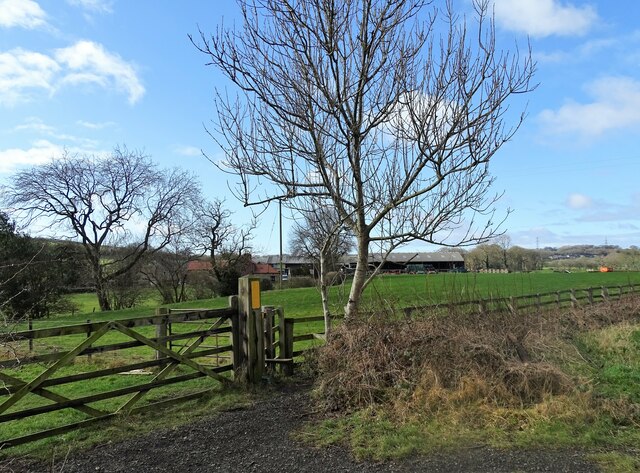
Stainsbybank Plantation is a woodland area located in Durham, England. It is situated near the village of Stainsby and covers an area of approximately 100 acres. The plantation is primarily composed of various species of trees, including oak, beech, and pine.
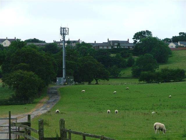
The woodland is known for its diverse flora and fauna, making it a popular destination for nature enthusiasts and birdwatchers. The area is home to a wide range of bird species, such as woodpeckers, jays, and various types of owls.
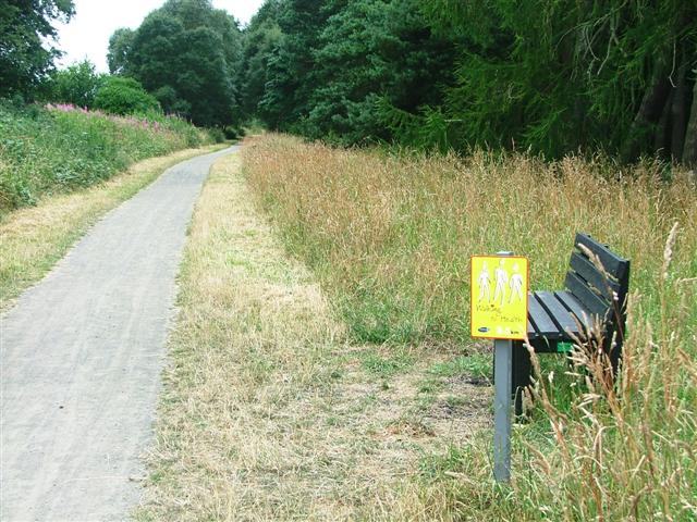
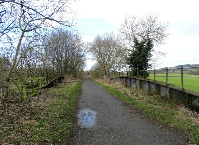
Stainsbybank Plantation offers several walking trails and paths, allowing visitors to explore the natural beauty of the area. These trails are well-maintained and offer picturesque views of the surrounding countryside. The woodland is also a haven for wildlife, with deer, squirrels, and rabbits frequently spotted by those walking through the plantation.
The plantation is managed by the local authorities, who ensure the preservation and conservation of the woodland. They undertake regular maintenance tasks, such as tree planting and the removal of invasive species, to maintain the ecological balance within the area.
Stainsbybank Plantation is not only a natural sanctuary but also serves as a recreational space for the local community. It offers opportunities for outdoor activities such as picnicking, dog walking, and nature photography. The plantation is easily accessible by foot, bike, or car, with ample parking available for visitors.
Overall, Stainsbybank Plantation is a cherished natural resource in Durham, providing a tranquil escape for both locals and tourists while supporting the preservation of local wildlife and flora.
If you have any feedback on the listing, please let us know in the comments section below.
Stainsbybank Plantation Images
Images are sourced within 2km of 54.810656/-1.6871381 or Grid Reference NZ2046. Thanks to Geograph Open Source API. All images are credited.


Stainsbybank Plantation is located at Grid Ref: NZ2046 (Lat: 54.810656, Lng: -1.6871381)
Unitary Authority: County Durham
Police Authority: Durham
What 3 Words
///vaulting.blackbird.pencils. Near Langley Park, Co. Durham
Nearby Locations
Related Wikis

Langley Park, County Durham
Langley Park is a village in County Durham, England. The historic city of Durham lies 4 miles (6.4 km) to the east, and the larger city (and regional capital...

Wall Nook
Wall Nook is a small village in County Durham, in England. It is situated to the south of Langley Park, to the north west of Durham. Wall Nook is known...
Witton Gilbert railway station
Witton Gilbert railway station served the village of Witton Gilbert, County Durham, England from 1862 to 1963 on the Lanchester Valley Line. == History... ==
Langley Park Wind Farm
Langley Park Wind Farm is a wind farm near Langley Park, County Durham, England. It was developed by EDF Energy and is operated by Cumbria Wind Farms,...
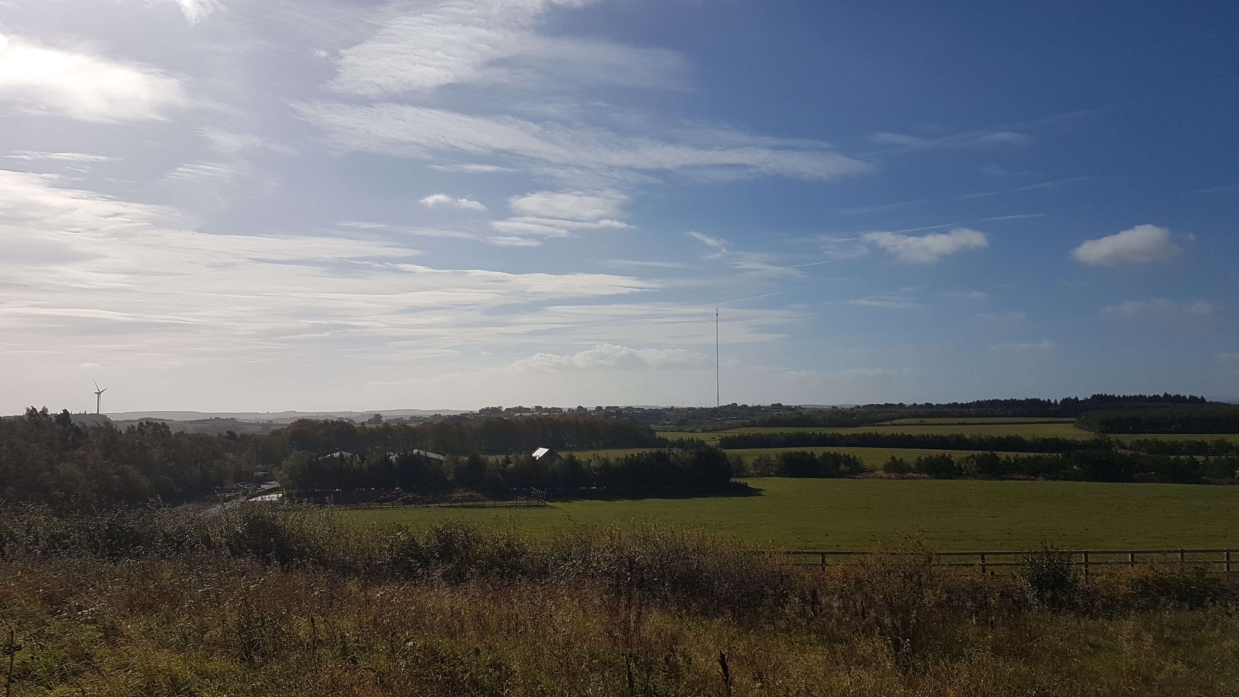
Burnhope transmitting station
The Burnhope transmitting station is a television transmitter in the north of England. == History == === Construction === It was originally built by BICC...
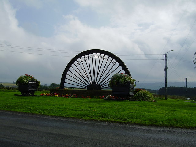
Burnhope
Burnhope is a village and civil parish in County Durham, England. It is located in the Craghead valley on the opposite side to Stanley and has 1,564 inhabitants...
Esh, County Durham
Esh is a village and civil parish situated around five miles north-west of Durham in County Durham, England. The central area of the village contains...
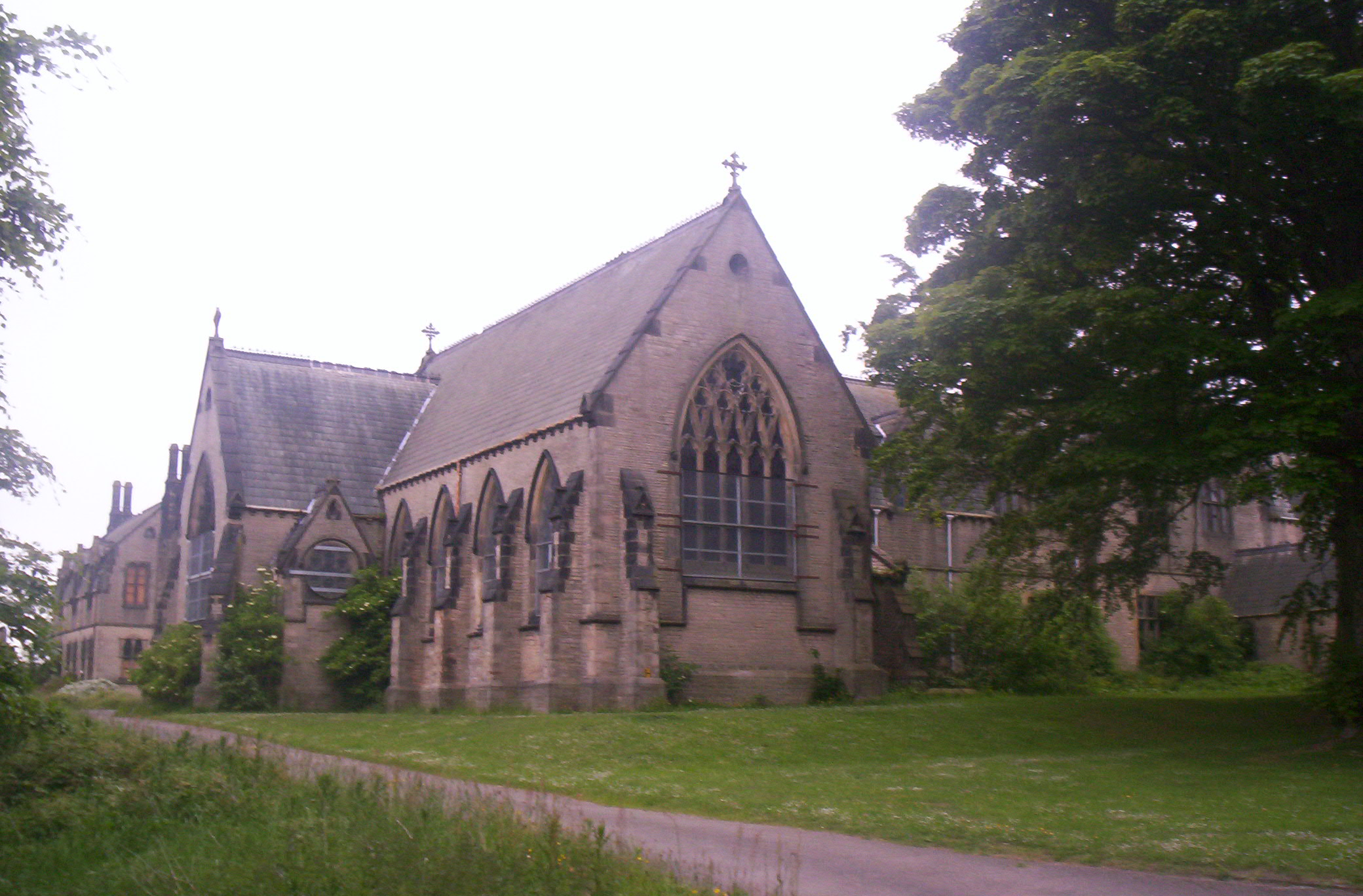
Ushaw College
Ushaw College (formally St Cuthbert's College, Ushaw) is a former Catholic seminary near the village of Ushaw Moor, County Durham, England, which is now...
Nearby Amenities
Located within 500m of 54.810656,-1.6871381Have you been to Stainsbybank Plantation?
Leave your review of Stainsbybank Plantation below (or comments, questions and feedback).