Rabley Wood
Wood, Forest in Wiltshire
England
Rabley Wood

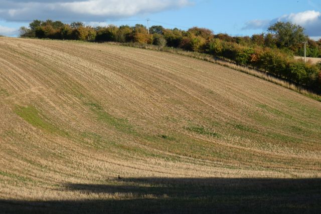
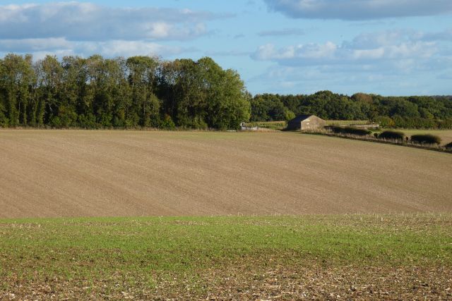
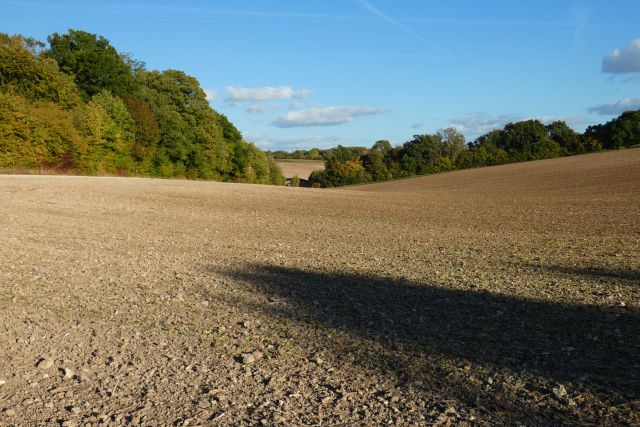
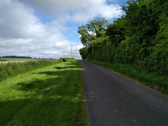
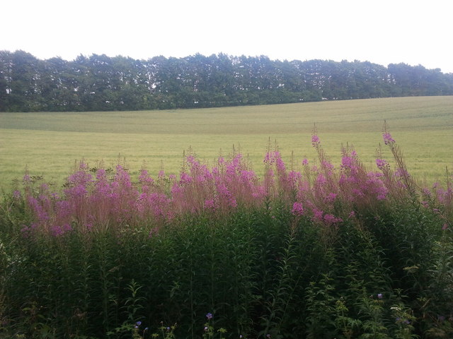
Rabley Wood is a charming woodland located in the county of Wiltshire, England. Situated near the village of Marlborough, it covers an area of approximately 40 hectares, making it a relatively small but picturesque woodland. The wood is predominantly composed of native broadleaf trees, such as oak, ash, beech, and birch, which create a diverse and rich canopy overhead.
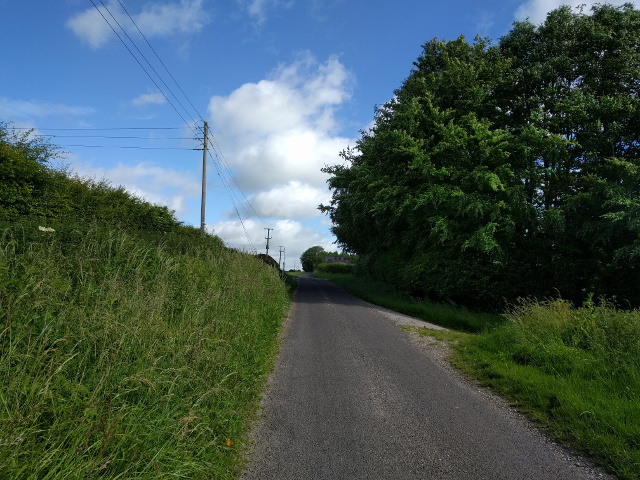
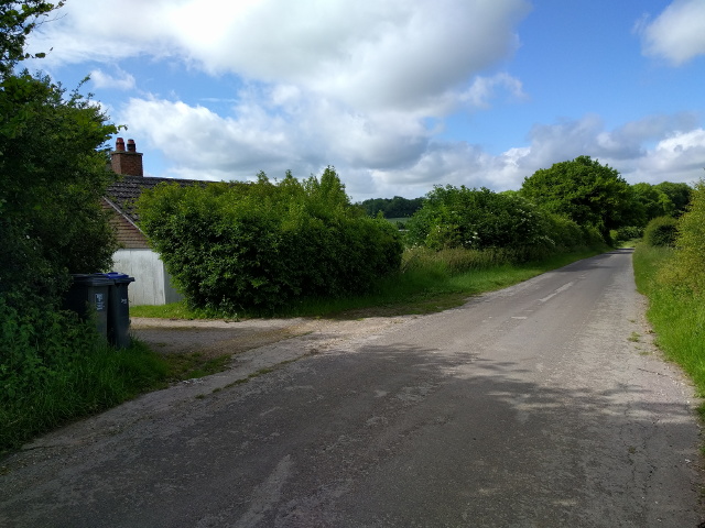
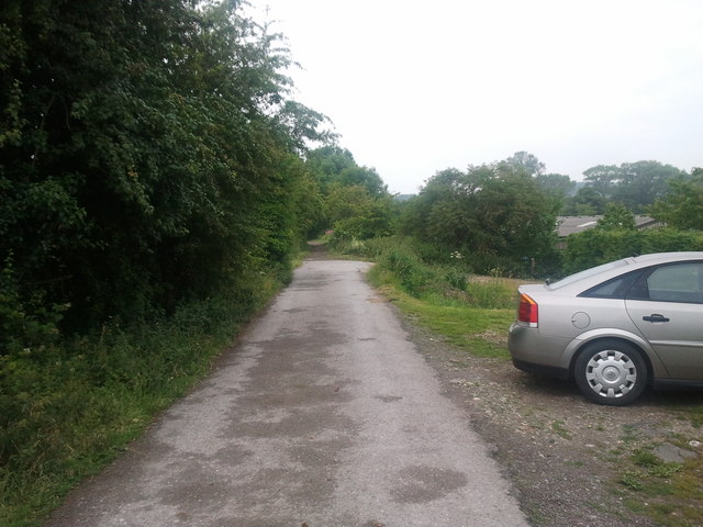
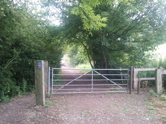
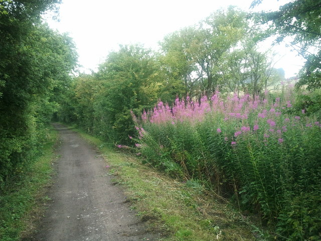
The woodland offers a tranquil and serene environment, attracting nature enthusiasts and walkers alike. Its well-maintained network of footpaths and trails allows visitors to explore and enjoy the natural beauty that surrounds them. Rabley Wood is also home to a variety of wildlife, including deer, badgers, foxes, and numerous bird species, making it a haven for wildlife enthusiasts and birdwatchers.
The wood has a fascinating history, with evidence of human activity dating back to the Bronze Age. Remnants of ancient earthworks and barrows can still be found within the woodland, adding to its historical significance. Additionally, Rabley Wood has been used for timber production throughout the centuries, providing valuable resources for the local community.
Today, Rabley Wood is managed by the Forestry Commission, ensuring the preservation and conservation of its natural habitat. The commission actively promotes sustainable forestry practices, maintaining a healthy balance between commercial use and the protection of the woodland's ecosystem.
Overall, Rabley Wood is a delightful destination for those seeking solace in nature. Its idyllic setting, diverse flora and fauna, and historical significance make it a true gem within the Wiltshire countryside.
If you have any feedback on the listing, please let us know in the comments section below.
Rabley Wood Images
Images are sourced within 2km of 51.434457/-1.7106435 or Grid Reference SU2070. Thanks to Geograph Open Source API. All images are credited.


Rabley Wood is located at Grid Ref: SU2070 (Lat: 51.434457, Lng: -1.7106435)
Unitary Authority: Wiltshire
Police Authority: Wiltshire
What 3 Words
///powder.registers.reclaim. Near Mildenhall, Wiltshire
Nearby Locations
Related Wikis
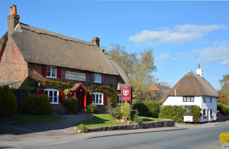
Mildenhall, Wiltshire
Mildenhall ( MY-nəl) is a village and civil parish in the Kennet Valley in Wiltshire, England, immediately east of the market town of Marlborough. The...

Cunetio Hoard
The Cunetio Hoard, also known as the Mildenhall Hoard, is the largest hoard of Roman coins found in Britain. It was discovered in 1978 at the site of the...

Cunetio
Cunetio was a large walled town in a valley of the River Kennet in modern-day Wiltshire, England. The settlement was occupied from the 2nd century CE by...

Ogbourne Maizey
Ogbourne Maizey is a hamlet in Wiltshire, England 1.6 miles (2.6 km) north of the town of Marlborough and 0.4 miles (0.64 km) south of the village of Ogbourne...

St Mary's Church, Marlborough
St Mary's Church is the Church of England parish church in the town of Marlborough, Wiltshire, England. The church stands at the east end of the town's...
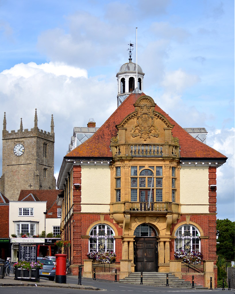
Marlborough Town Hall
Marlborough Town Hall is a municipal building in the High Street in Marlborough, Wiltshire, England. The structure, which is the meeting place of Marlborough...
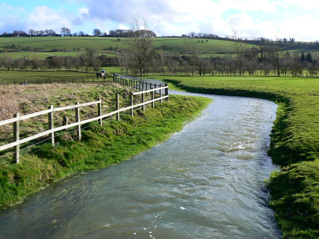
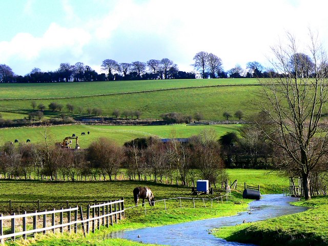
River Og
The River Og is a short river in Wiltshire, England. It rises near the hamlet of Draycot Foliat, and flows south for about 3.1 km (1.9 miles) through Ogbourne...
Ogbourne St Andrew
Ogbourne St Andrew is a civil parish and small village in Wiltshire, England, 2 miles (3.2 km) north of Marlborough. The parish is on the banks of the...
Nearby Amenities
Located within 500m of 51.434457,-1.7106435Have you been to Rabley Wood?
Leave your review of Rabley Wood below (or comments, questions and feedback).