Clarendon Park

Wood, Forest in Wiltshire

England

Clarendon Park

Grazing and woodland near Waldon Farm
Grazing and woodland near Waldon Farm Credit: JThomas

Clarendon Park, located in the county of Wiltshire, England, is a picturesque woodland area renowned for its natural beauty and rich history. Spanning over an area of approximately 4 square kilometers, this forested region is a popular destination for locals and tourists alike.

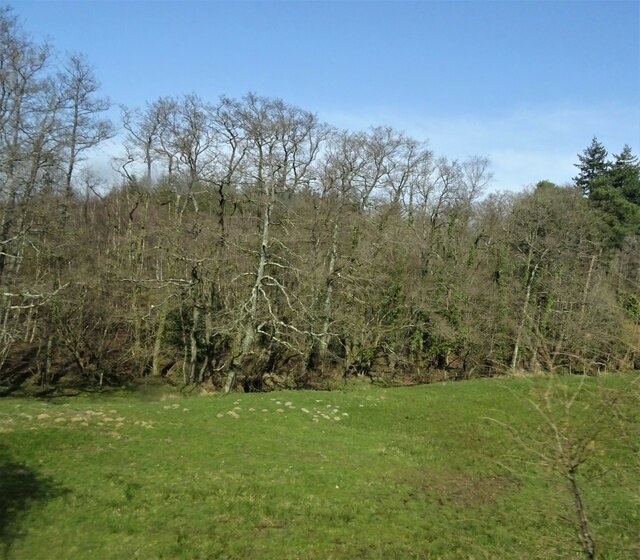
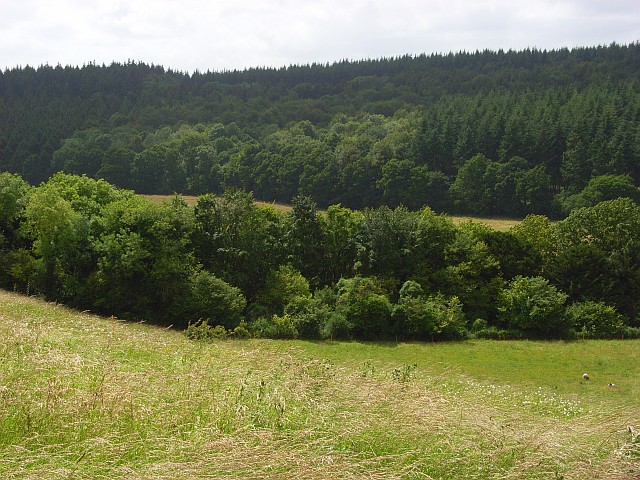
The park is named after the nearby Clarendon Palace, which was once a royal residence during the medieval period. Today, the palace is in ruins but still serves as a reminder of the area's historical significance. The park itself is characterized by dense woodlands, with a variety of native tree species such as oak, beech, and birch creating a lush and vibrant canopy.

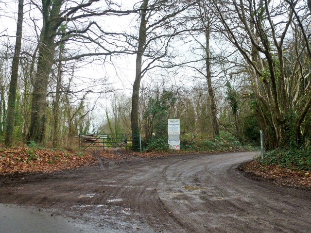
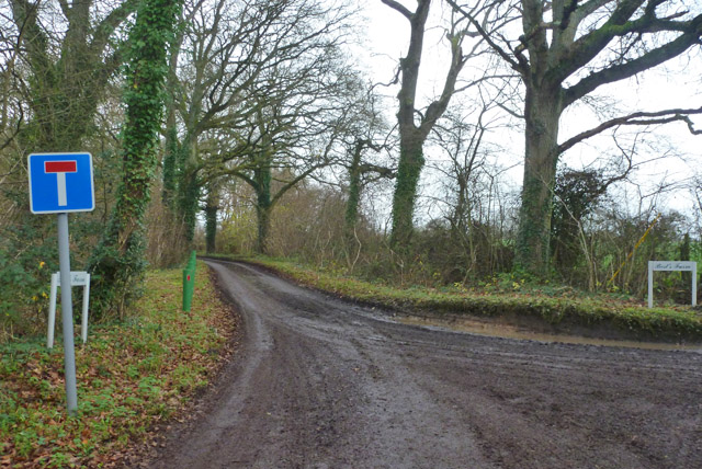
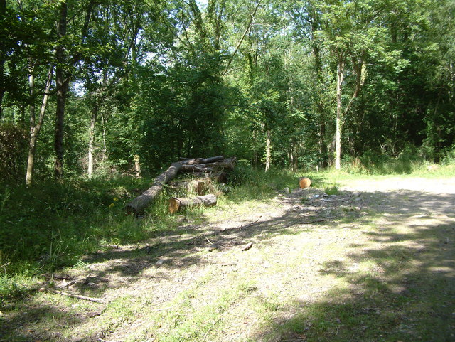
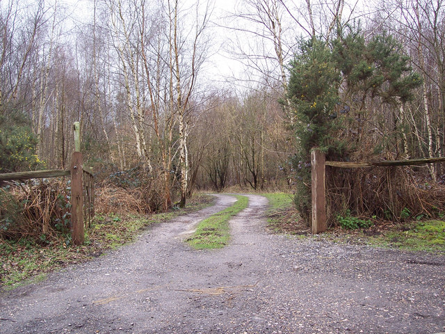
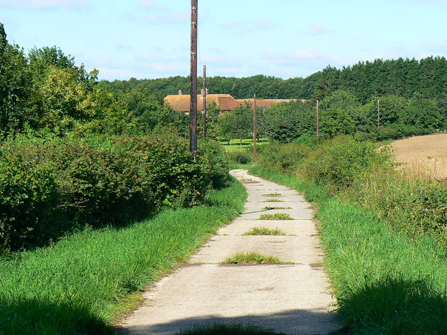
Clarendon Park offers a tranquil environment for nature lovers and outdoor enthusiasts. Numerous walking trails wind their way through the forest, providing opportunities for leisurely strolls and more challenging hikes. The park is also home to a diverse array of wildlife, including deer, foxes, and a wide variety of bird species, making it a haven for wildlife enthusiasts and birdwatchers.

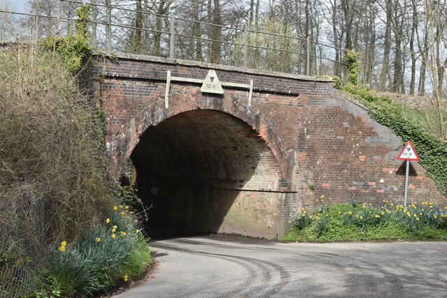
In addition to its natural beauty, Clarendon Park also boasts several historical landmarks. The Clarendon Arch, an impressive 18th-century structure, stands as a remnant of the Great West Road that once connected London to Bristol. The arch provides a fascinating glimpse into the area's past and is a popular spot for photography and exploration.

Overall, Clarendon Park in Wiltshire offers visitors a unique blend of natural beauty and historical charm. Whether it's exploring the woodland trails, admiring the wildlife, or delving into the area's rich history, this forested haven has something to offer for everyone.

If you have any feedback on the listing, please let us know in the comments section below.

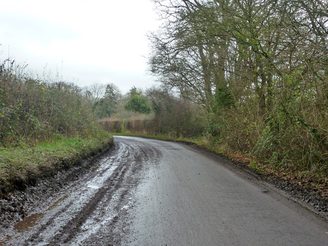
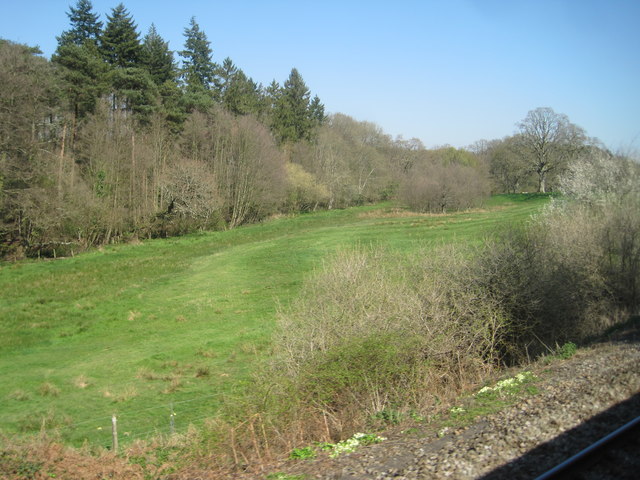
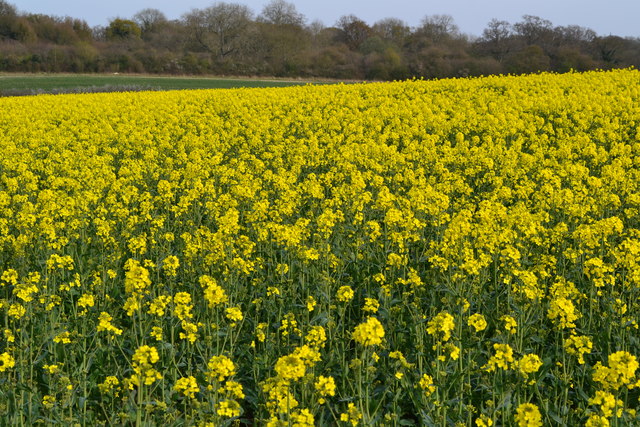
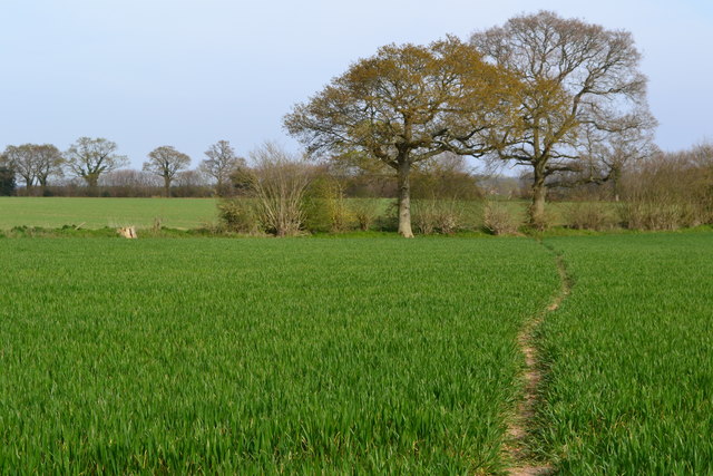
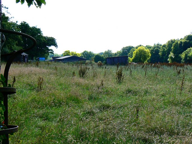
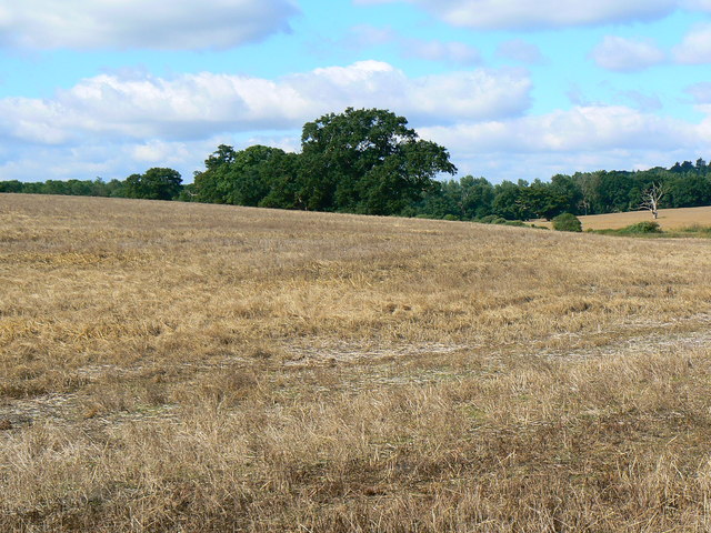
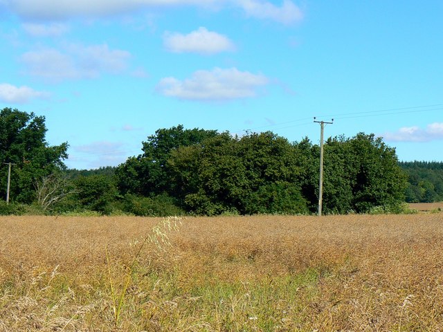
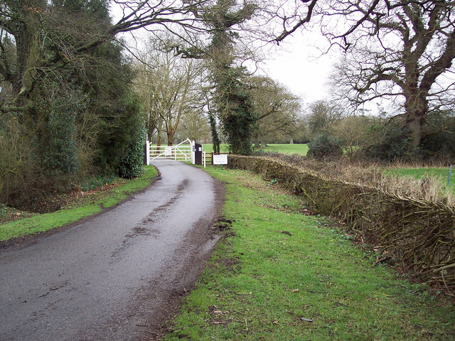
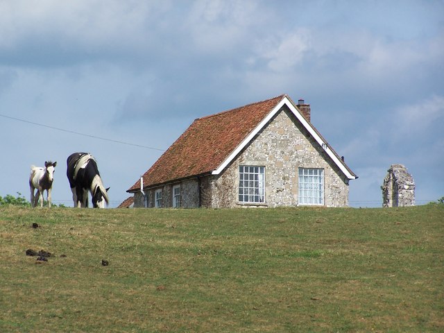
Clarendon Park Images

Images are sourced within 2km of 51.056324/-1.7190398 or Grid Reference SU1928. Thanks to Geograph Open Source API. All images are credited.

Grazing and woodland near Waldon Farm
Steam train at West Grimstead Ex Southern Railway S15 4-6-0 No. E828 about to cross Green Drove bridge at West Grimstead.  The loco was hauling an Eastleigh to Salisbury local railtour.
Steam train at West Grimstead
Ex Southern Railway S15 4-6-0 No. E828 about to cross Green Drove bridge at West Grimstead. The loco was hauling an Eastleigh to Salisbury local railtour.
Private road to Upper Brickwood Farm The sign lists access to other premises as well.
Private road to Upper Brickwood Farm
The sign lists access to other premises as well.
No through road to Best's Farm Not strictly correct, as a public byway through route to Pitton exists.  But looking at the state of this surfaced road, the byway would be some proposition to tackle.
No through road to Best's Farm
Not strictly correct, as a public byway through route to Pitton exists. But looking at the state of this surfaced road, the byway would be some proposition to tackle.
Lucewood Lane Many of the roads around here were particularly dirty.
Lucewood Lane
Many of the roads around here were particularly dirty.
View from a Southampton-Salisbury train - Field near Waldon Farm
Oilseed rape field south of Pitton Lodge
Path between two trees
Railway arch at West Grimstead
Long Drove Farm, North of West Grimstead There was no bull in this field.
Long Drove Farm, North of West Grimstead
There was no bull in this field.
Road Junction, near Whitehouse Farm This junction is north of West Grimstead.
Road Junction, near Whitehouse Farm
This junction is north of West Grimstead.
Nightwood Copse This photo was taken east of Clarendon House.
Nightwood Copse
This photo was taken east of Clarendon House.
Entrance to Waldon Farm Fishing Lakes
Down and forest, Pitton The trees in the foreground are along the byway descending to Pitton.
Down and forest, Pitton
The trees in the foreground are along the byway descending to Pitton.
Best's Farm, near Farley The track in the foreground leads to the farm visible in the middle distance.
Best's Farm, near Farley
The track in the foreground leads to the farm visible in the middle distance.
Knightwood, near Nightwood Copse, Farley The names are as spelled on the 1:25K OS map. This is a view facing east across some rough pasture.
Knightwood, near Nightwood Copse, Farley
The names are as spelled on the 1:25K OS map. This is a view facing east across some rough pasture.
Farmland, Best's Farm, near Farley This looks as if an oilseed rape crop has recently been harvested.
Farmland, Best's Farm, near Farley
This looks as if an oilseed rape crop has recently been harvested.
Oilseed rape awaiting harvest, Best's Farm, near Farley The crop is in the foreground. Quite a contrast now to how it would have looked when in flower. The clump of trees in the centre conceals what the 1:25K map shows as a 'pit (dis)'.
Oilseed rape awaiting harvest, Best's Farm, near Farley
The crop is in the foreground. Quite a contrast now to how it would have looked when in flower. The clump of trees in the centre conceals what the 1:25K map shows as a 'pit (dis)'.
Show me another place!

Clarendon Park is located at Grid Ref: SU1928 (Lat: 51.056324, Lng: -1.7190398)

Unitary Authority: Wiltshire

Police Authority: Wiltshire

What 3 Words

///science.cherished.drill. Near Alderbury, Wiltshire

Nearby Locations

The Rookery Clarendon Park

Related Wikis

Clarendon Park, Wiltshire

Clarendon Park is a Grade I listed building, estate and civil parish near Salisbury in Wiltshire, England. At the 2011 census the population of the parish...

Alderbury

Alderbury is a village and civil parish in Wiltshire, England, in the south of the county around 3 miles (5 km) southeast of Salisbury. The parish includes...

Ivychurch Priory

Ivychurch Priory was a medieval monastic house in Alderbury, southeast of Salisbury, Wiltshire, England. According to Historic England, "all that remains...

Clarendon Palace

Clarendon Palace is a medieval ruin 2+1⁄4 miles (3.6 km) east of Salisbury in Wiltshire, England. The palace was a royal residence during the Middle Ages...

Nearby Amenities

Located within 500m of 51.056324,-1.7190398
The data included in this document is from www.openstreetmap.org. The data is made available under ODbL.

Have you been to Clarendon Park?

Leave your review of Clarendon Park below (or comments, questions and feedback).