Woodhall Plantation
Wood, Forest in Yorkshire
England
Woodhall Plantation
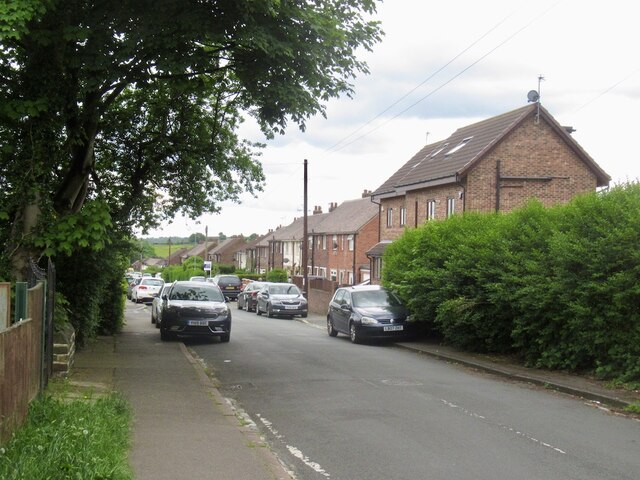
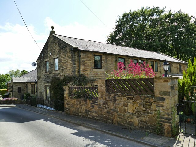
Woodhall Plantation is a historic estate located in the picturesque region of Yorkshire, England. Nestled amidst lush greenery and rolling hills, the plantation covers a vast area of land, predominantly consisting of dense woodlands and beautiful forests, hence its name.
The plantation holds great historical significance, dating back several centuries. It was originally established in the early 17th century and has since witnessed various transformations and developments. The architecture of the buildings within the estate reflects the prevailing styles of different eras, ranging from Tudor to Georgian.
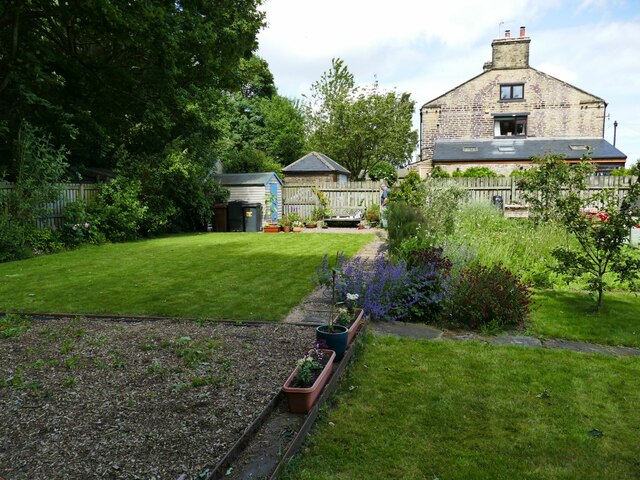
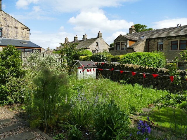
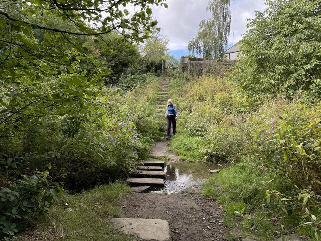
Woodhall Plantation boasts a rich natural environment, characterized by an abundance of native flora and fauna. The woodlands are home to a diverse range of tree species, including oak, beech, and birch, which create a captivating landscape throughout the seasons. The forests provide a habitat for numerous wildlife species, such as deer, foxes, and various bird species, making it an ideal location for nature enthusiasts and wildlife photographers.
The estate offers a tranquil and idyllic setting, attracting visitors who seek a retreat from the hustle and bustle of modern life. It provides ample opportunities for outdoor activities like hiking, cycling, and picnicking, with well-maintained trails and open spaces. Additionally, Woodhall Plantation hosts occasional events and festivals, celebrating the local culture and heritage.
Overall, Woodhall Plantation in Yorkshire is a charming and historically significant estate, renowned for its stunning woodlands and forests. It serves as a haven for nature lovers and offers a perfect escape into the beauty of the English countryside.
If you have any feedback on the listing, please let us know in the comments section below.
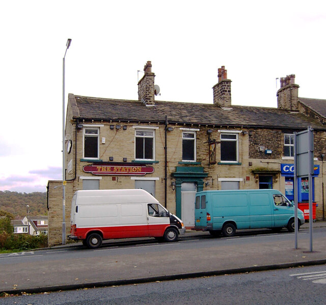
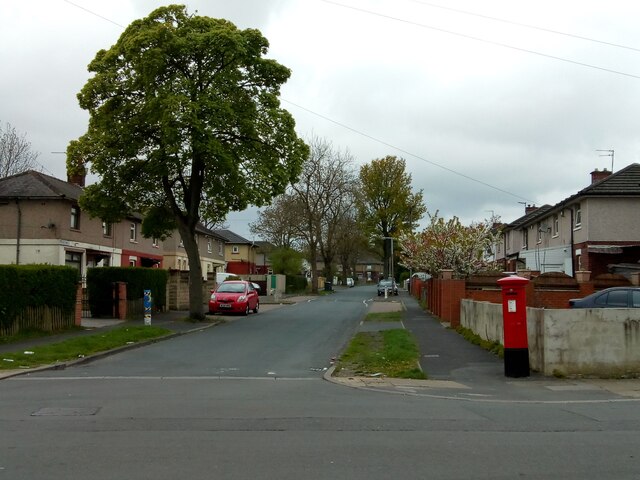
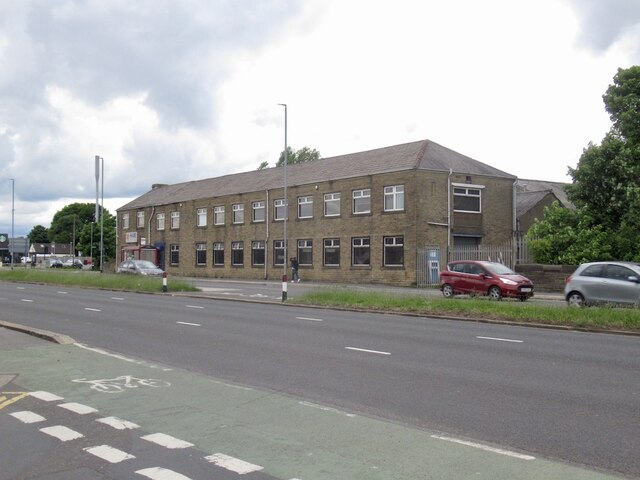
Woodhall Plantation Images
Images are sourced within 2km of 53.811203/-1.7010154 or Grid Reference SE1935. Thanks to Geograph Open Source API. All images are credited.


Woodhall Plantation is located at Grid Ref: SE1935 (Lat: 53.811203, Lng: -1.7010154)
Division: West Riding
Unitary Authority: Leeds
Police Authority: West Yorkshire
What 3 Words
///tribal.looks.sits. Near Pudsey, West Yorkshire
Nearby Locations
Related Wikis
Co-op Academy Priesthorpe
Co-op Academy Priesthorpe is a secondary school, academy and sixth form in Pudsey, West Yorkshire, England. == Curriculum == Co-op Academy Priesthorpe...
Ravenscliffe, West Yorkshire
Ravenscliffe is a housing estate in the Eccleshill ward of the city of Bradford District, in the English county of West Yorkshire. Ravenscliffe is located...
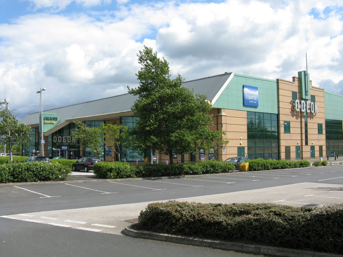
Odeon Leeds-Bradford
Odeon Leeds-Bradford is a multiplex cinema at Gallagher Leisure Park, Thornbury, West Yorkshire, between the cities of Leeds and Bradford in England. It...
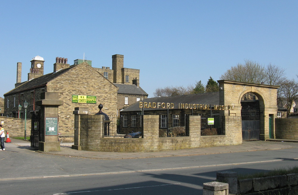
Bradford Industrial Museum
Bradford Industrial Museum, established 1974 in Moorside Mills, Eccleshill, Bradford, United Kingdom, specializes in relics of local industry, especially...
Eccleshill railway station
Eccleshill railway station was a railway station in Eccleshill, West Yorkshire, England. == History == During the 1860s, two small railway companies were...

New Pudsey railway station
New Pudsey railway station serves the towns of Farsley and Pudsey in West Yorkshire, England, on the Calder Valley line. It serves the adjacent suburb...

Bradford Moor
Bradford Moor is an electoral ward within the City of Bradford Metropolitan District Council. The population of the ward at the 2011 Census was 21,210...

Thornbury, Bradford
Thornbury is an area of Bradford, in West Yorkshire, England on the border with the City of Leeds. Thornbury is located in the Bradford Moor ward and the...
Nearby Amenities
Located within 500m of 53.811203,-1.7010154Have you been to Woodhall Plantation?
Leave your review of Woodhall Plantation below (or comments, questions and feedback).