East Marriforth Plantation
Wood, Forest in Yorkshire Hambleton
England
East Marriforth Plantation

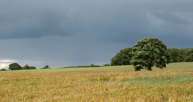
East Marriforth Plantation is a captivating woodland located in the county of Yorkshire, England. Sprawling over a vast area, this plantation is a haven for nature enthusiasts and outdoor adventurers alike.
The plantation is primarily composed of deciduous trees, creating a picturesque landscape that changes with the seasons. Majestic oak and beech trees dominate the woodland, their towering branches providing shelter to a diverse range of wildlife. The forest floor is adorned with a rich carpet of moss, ferns, and wildflowers, adding a splash of color to the verdant surroundings.
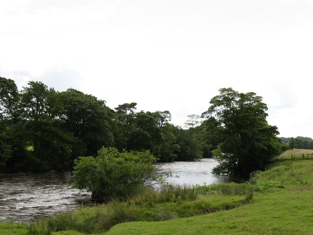
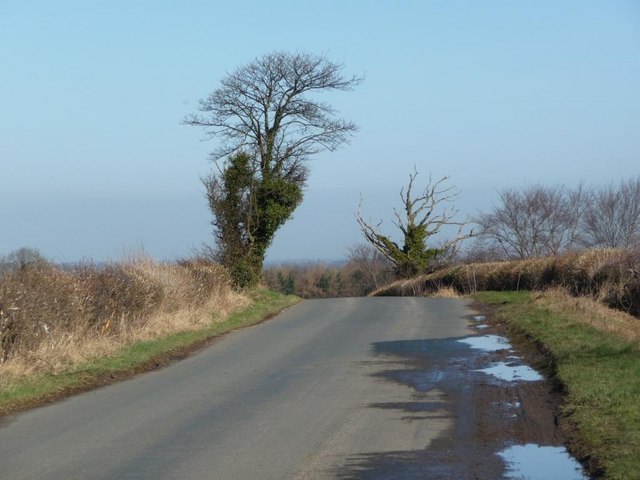
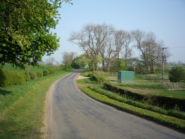
Traversing through East Marriforth Plantation is a delight for hikers and walkers, thanks to the well-maintained network of trails that wind their way through the woods. These pathways offer visitors an opportunity to explore the plantation's hidden gems, such as babbling brooks, small ponds, and secluded clearings perfect for picnicking.
The woodland is teeming with wildlife, making it a popular spot for birdwatchers and nature photographers. Bird species such as woodpeckers, owls, and warblers can be spotted among the treetops, while rabbits, squirrels, and deer roam the forest floor.
East Marriforth Plantation is not only a natural sanctuary but also plays a crucial role in supporting the local ecosystem. The trees act as a carbon sink, helping to reduce greenhouse gas emissions and combat climate change. Additionally, the woodland provides a habitat for numerous species, contributing to the area's biodiversity.
Overall, East Marriforth Plantation is a captivating woodland that offers visitors a chance to immerse themselves in the beauty of nature. From its towering trees to its diverse wildlife, this Yorkshire gem is a true testament to the wonders of the natural world.
If you have any feedback on the listing, please let us know in the comments section below.
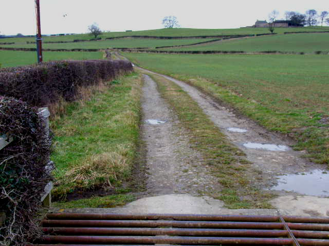
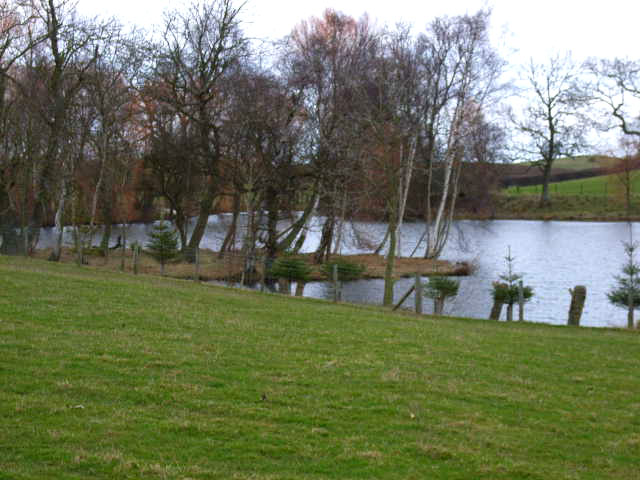
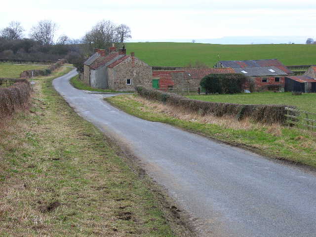
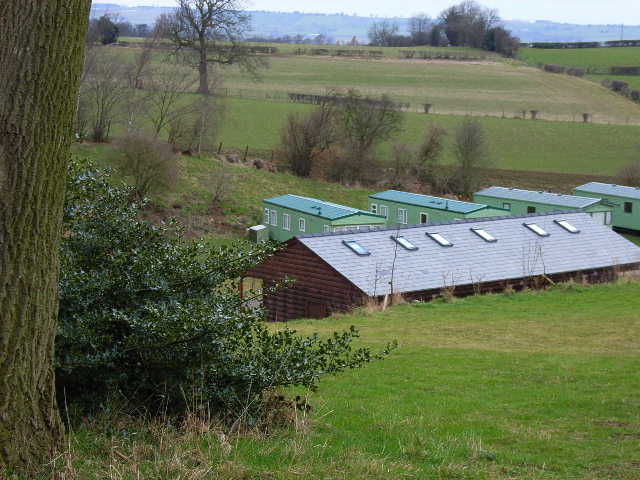
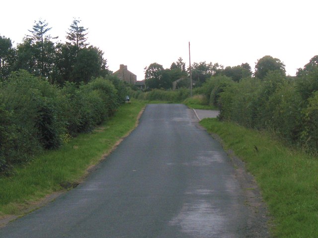
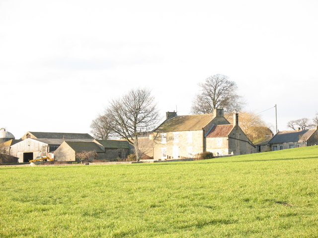
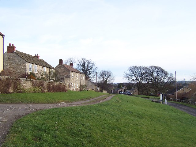
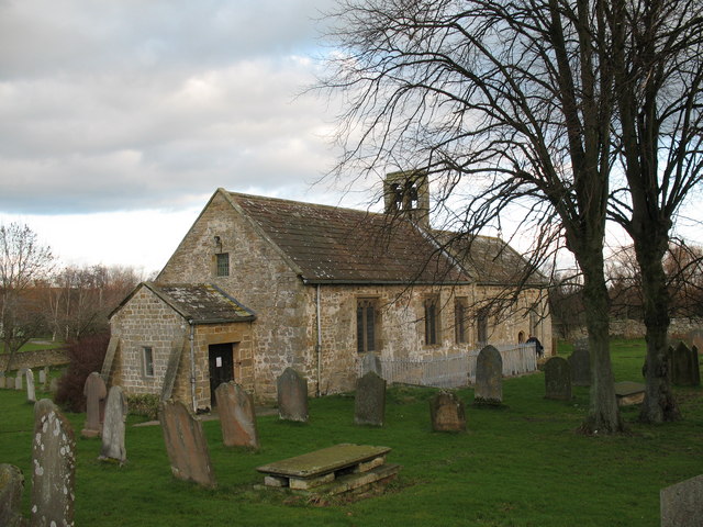
East Marriforth Plantation Images
Images are sourced within 2km of 54.280349/-1.6975705 or Grid Reference SE1987. Thanks to Geograph Open Source API. All images are credited.


East Marriforth Plantation is located at Grid Ref: SE1987 (Lat: 54.280349, Lng: -1.6975705)
Division: North Riding
Administrative County: North Yorkshire
District: Hambleton
Police Authority: North Yorkshire
What 3 Words
///making.readjust.goals. Near Bedale, North Yorkshire
Related Wikis
Rookwith
Rookwith is a hamlet and civil parish in the Hambleton district of North Yorkshire, England, about 4 miles (6.4 km) west of Bedale and near the flow of...

Thornton Steward Reservoir
Thornton Steward Reservoir is a reservoir north of the village of Thornton Steward in North Yorkshire, England. It is owned by Yorkshire Water, and supplies...
Thornton Steward
Thornton Steward is a small village and civil parish in North Yorkshire, England, near Wensleydale, with a population of 100–200, measured at 199 in the...

Aysgarth School
Aysgarth School is an independent day and boarding preparatory school near to the village of Newton-le-Willows, North Yorkshire, England. As the name suggests...

Thirn
Thirn is a village and civil parish in North Yorkshire, England. It is situated close to the River Ure, about 3 miles (5 km) south-west of Bedale.The hamlet...

Jervaulx railway station
Jervaulx railway station was a railway station in Newton-le-Willows, North Yorkshire, England. Originally named after this place, it was renamed after...
Finghall
Finghall is a village and civil parish in North Yorkshire, England. == History == The village is mentioned in the Domesday Book as Fingall when it belonged...
Newton-le-Willows, North Yorkshire
Newton-le-Willows is a village and civil parish in the Richmondshire district of North Yorkshire, England, 3 miles (4.8 km) west of Bedale. Historically...
Nearby Amenities
Located within 500m of 54.280349,-1.6975705Have you been to East Marriforth Plantation?
Leave your review of East Marriforth Plantation below (or comments, questions and feedback).