Beckley Wood
Wood, Forest in Durham
England
Beckley Wood
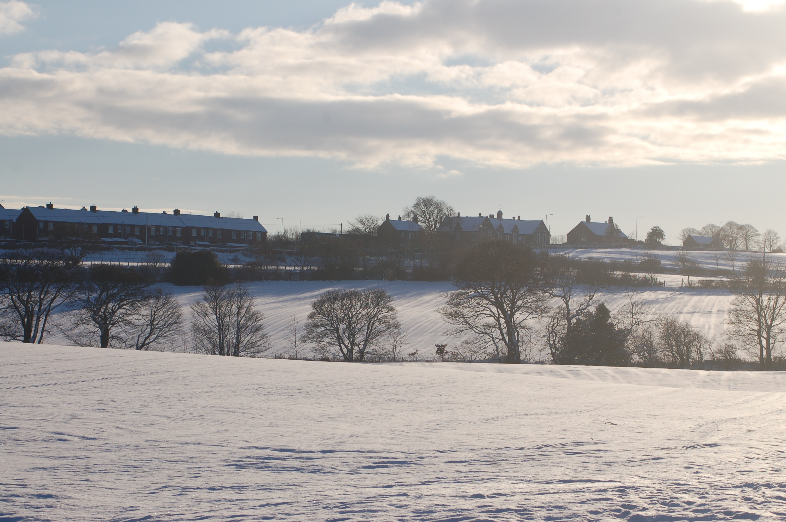
Beckley Wood is a picturesque woodland located in Durham, a county in the northeast of England. Situated near the village of Beckley, the wood is nestled within the expansive Durham Dales, offering visitors a tranquil and natural escape from the bustling city life.
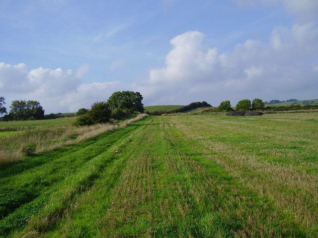
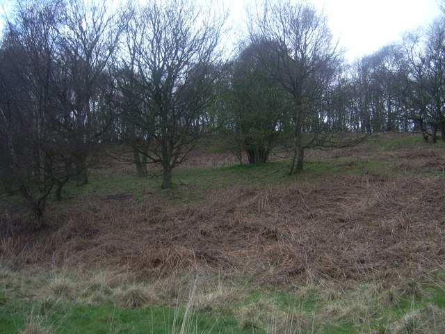
Covering an area of approximately 50 acres, Beckley Wood is primarily composed of deciduous trees, including oak, ash, and birch, which provide a rich canopy and a diverse habitat for various wildlife species. The woodland floor is adorned with a vibrant carpet of wildflowers, adding to the enchanting atmosphere.
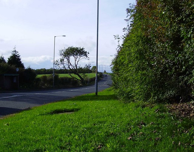
The wood is crisscrossed by a network of well-maintained footpaths, allowing visitors to explore the area at their leisure. These paths wind through the trees, leading to hidden clearings and secluded spots where visitors can relax and immerse themselves in the serene surroundings.
Beckley Wood is a popular destination for nature enthusiasts and hikers, with its beautiful scenery and abundant wildlife. Birdwatchers can spot a variety of avian species, including woodpeckers, nuthatches, and thrushes. Small mammals such as squirrels and rabbits can also be spotted darting through the undergrowth.
The wood is managed by a local conservation group, ensuring the preservation of its natural beauty and biodiversity. Visitors are encouraged to follow responsible tourism practices, such as sticking to designated paths and refraining from littering, to help maintain the delicate balance of this unique woodland ecosystem.
Overall, Beckley Wood is a hidden gem in Durham, offering visitors a chance to connect with nature and experience the tranquility of a truly enchanting forest.
If you have any feedback on the listing, please let us know in the comments section below.
Beckley Wood Images
Images are sourced within 2km of 54.903885/-1.6961164 or Grid Reference NZ1956. Thanks to Geograph Open Source API. All images are credited.


Beckley Wood is located at Grid Ref: NZ1956 (Lat: 54.903885, Lng: -1.6961164)
Unitary Authority: County Durham
Police Authority: Durham
What 3 Words
///defenders.predict.farms. Near Tanfield, Co. Durham
Nearby Locations
Related Wikis

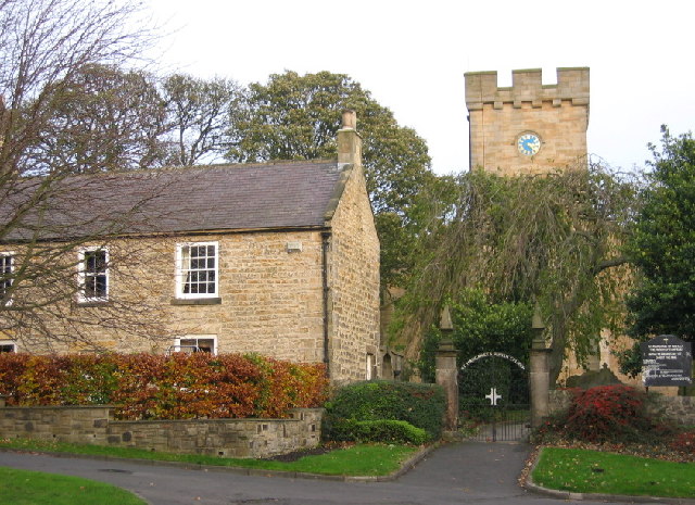
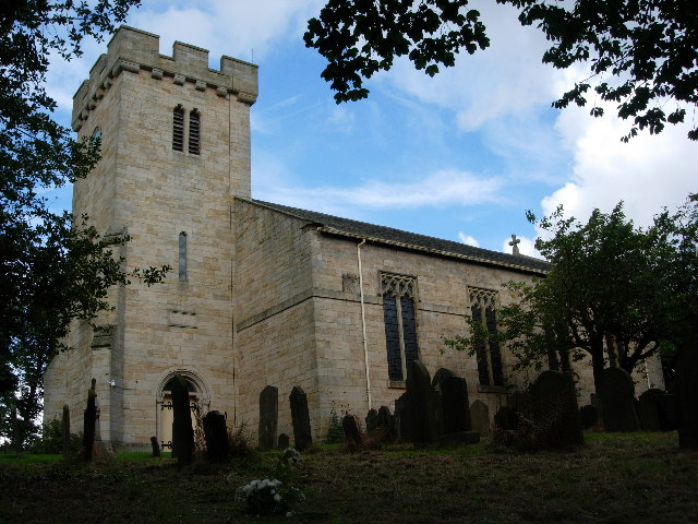
Tanfield, County Durham
Tanfield is a village and former civil parish, now in the parish of Stanley, in the County Durham district, in the ceremonial county of Durham, England...
Causey, County Durham
Causey is a village in County Durham, in England. It is situated a short distance to the north of Stanley. == Demographic Information == Village contains...

Crookgate Bank
Crookgate Bank is a village in County Durham, in England. It is situated to the east of Burnopfield. == References ==
Causey Bank Mires
Causey Bank Mires is a Site of Special Scientific Interest in the Derwentside district of County Durham, England. It lies alongside and to the west of...
Byermoor
Byermoor is a village near Burnopfield and Sunniside in England. The village has a population of around 100 and contains a school (Sacred Heart) and a...
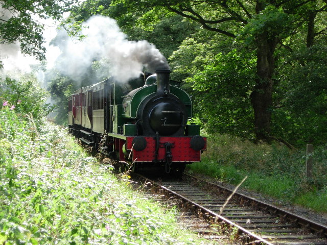
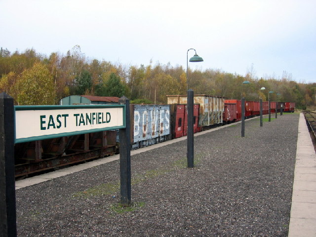
Tanfield Railway
The Tanfield Railway is a 4 ft 8+1⁄2 in (1,435 mm) standard gauge heritage railway in Gateshead and County Durham, England. Running on part of a former...
Marley Hill
Marley Hill is a former colliery village about six miles to the south west of Gateshead, near the border between Tyne and Wear and County Durham. It has...
Tantobie
Tantobie is a former colliery village in County Durham, England. It is situated 2 miles to the northwest of Stanley and the same distance to the north...
Nearby Amenities
Located within 500m of 54.903885,-1.6961164Have you been to Beckley Wood?
Leave your review of Beckley Wood below (or comments, questions and feedback).