Clark's Hill Coppice
Wood, Forest in Gloucestershire Cotswold
England
Clark's Hill Coppice
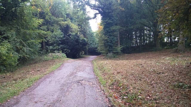
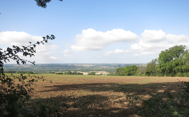
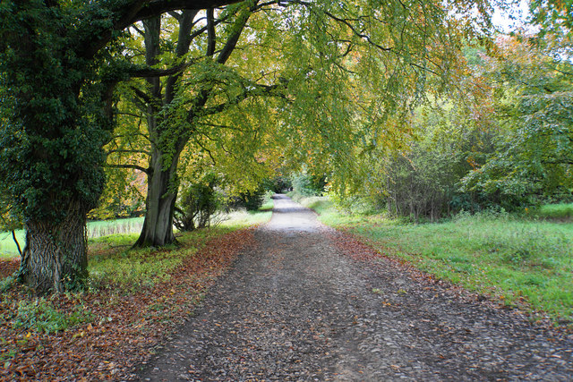
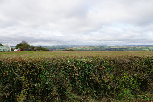
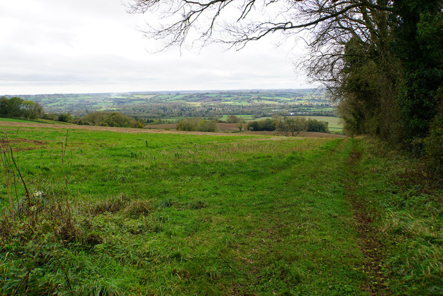
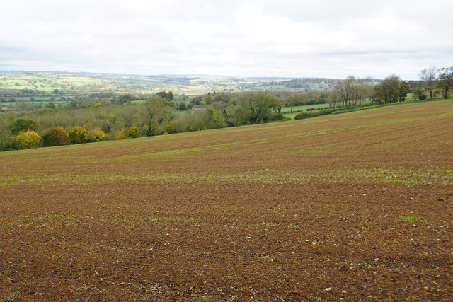
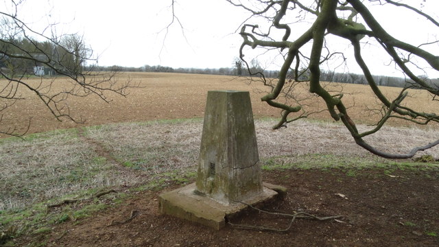
Clark's Hill Coppice is a picturesque woodland located in the county of Gloucestershire, England. Spanning over a vast area, this natural gem is a popular destination for nature enthusiasts and outdoor adventurers alike.
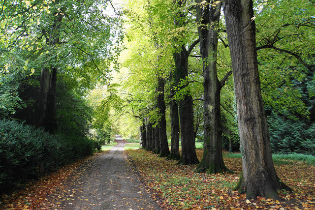
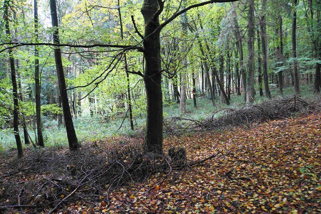
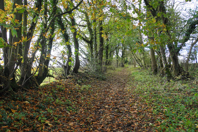
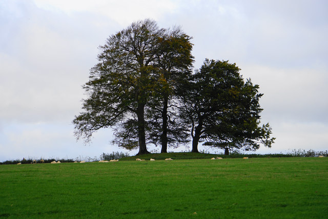
The coppice, also known as a wood or forest, is primarily composed of a diverse range of broadleaf trees, including oak, beech, ash, and birch. These towering trees create a dense canopy that provides shade and shelter for a variety of flora and fauna.
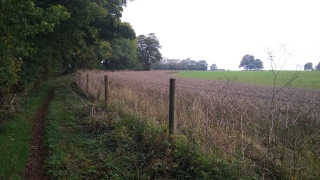
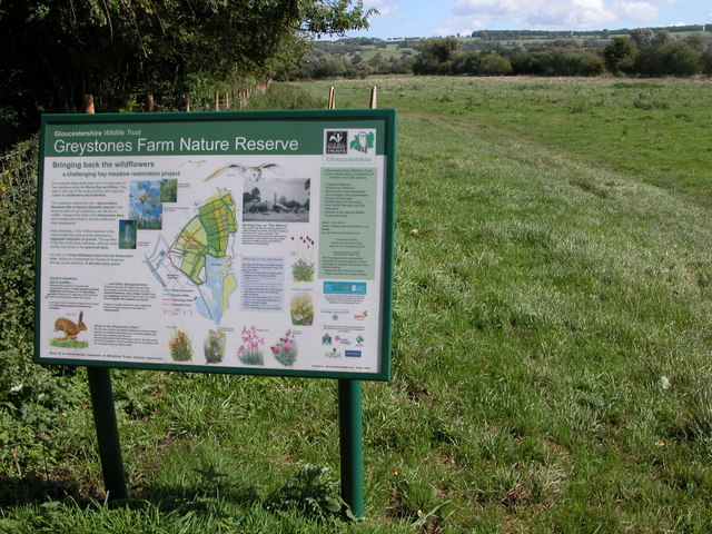
The forest floor is adorned with a lush carpet of ferns, mosses, and wildflowers, which thrive in the damp and fertile soil. This vibrant undergrowth adds to the beauty and biodiversity of the woodland, attracting a wide array of wildlife.
Birdwatchers will be delighted to spot a multitude of avian species in Clark's Hill Coppice. From the melodious songs of thrushes and warblers to the sight of majestic birds of prey, such as buzzards and kestrels, the woodland is a haven for birdlife.
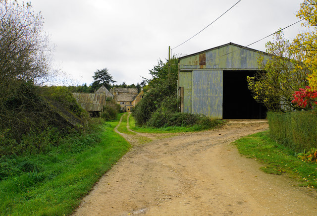
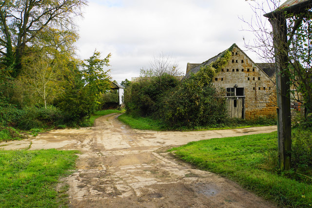
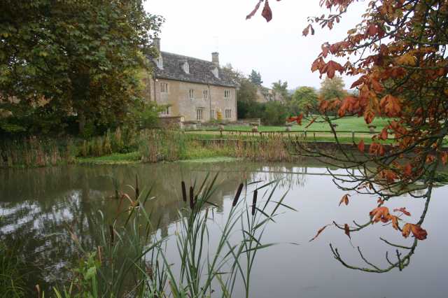
For those seeking tranquility and solitude, the well-maintained trails provide an opportunity for peaceful walks and hikes. Nature enthusiasts can explore the winding paths that lead to hidden clearings, babbling brooks, and enchanting ponds.
Clark's Hill Coppice is not only a natural treasure but also a site of historical significance. Remnants of ancient settlements and stone structures can be found within the woodland, offering a glimpse into the region's rich past.
Overall, Clark's Hill Coppice is a captivating woodland that showcases the beauty of Gloucestershire's natural landscape. Whether it's for a leisurely stroll or a chance to connect with nature, this forest is a must-visit destination for anyone seeking a peaceful escape.
If you have any feedback on the listing, please let us know in the comments section below.
Clark's Hill Coppice Images
Images are sourced within 2km of 51.882632/-1.7167851 or Grid Reference SP1920. Thanks to Geograph Open Source API. All images are credited.

Clark's Hill Coppice is located at Grid Ref: SP1920 (Lat: 51.882632, Lng: -1.7167851)
Administrative County: Gloucestershire
District: Cotswold
Police Authority: Gloucestershire
What 3 Words
///blissful.eyeful.publisher. Near Bourton on the Water, Gloucestershire
Nearby Locations
Related Wikis

Little Rissington
Little Rissington is a village and civil parish about 3+1⁄2 miles (6 km) south of Stow-on-the-Wold in the Cotswold District of Gloucestershire, England...

Upper Rissington
Upper Rissington is a village and civil parish in the Cotswold district of Gloucestershire, England. It is located about two-and-a-half miles east of Bourton...

Church of St Laurence, Wyck Rissington
The Anglican Church of St Laurence at Wyck Rissington in the Cotswold District of Gloucestershire, England was built in the 12th century. It is a grade...
Wyck Rissington
Wyck Rissington is a village and civil parish in the picturesque Cotswold hills of Gloucestershire, England. The village is located 1.5 miles (2.4 km)...

River Eye, Gloucestershire
The River Eye is a short river in the Cotswold District of Gloucestershire which flows for 7.6 kilometres (4.7 mi) through the villages of Upper Slaughter...
Salmonsbury Meadows SSSI
Salmonsbury Meadows (grid reference SP178213) is an 18-hectare (44-acre) biological and geological Site of Special Scientific Interest in Gloucestershire...

RAF Little Rissington
Royal Air Force Little Rissington or more simply RAF Little Rissington (ICAO: EGVL) is an Royal Air Force satellite station in Gloucestershire, England...

Icomb
Icomb is a village in the Gloucestershire Cotswolds, near to Stow on the Wold. The population taken at the 2011 census was 202.The village appears as Iacumbe...
Nearby Amenities
Located within 500m of 51.882632,-1.7167851Have you been to Clark's Hill Coppice?
Leave your review of Clark's Hill Coppice below (or comments, questions and feedback).