Gill Wood

Wood, Forest in Durham

England

Gill Wood

The tower of St Margaret's, Tanfield Tommy Armstrong, the famous 19th C. Ballad singer and composer is buried here. In 1861 this tiny village had a 'National School' as well as a 'Grammar School'! For more on the 'Church of St. Margaret of Antioch':
<span class="nowrap"><a title="http://www.stmargarets.derwentside.org.uk/noframes/history.htm" rel="nofollow ugc noopener" href="http://www.stmargarets.derwentside.org.uk/noframes/history.htm">Link</a><img style="margin-left:2px;" alt="External link" title="External link - shift click to open in new window" src="https://s1.geograph.org.uk/img/external.png" width="10" height="10"/></span>
The tower of St Margaret's, Tanfield Credit: Alan Fearon

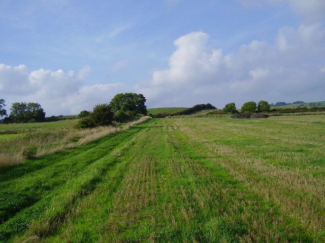
Gill Wood is a picturesque forest located in Durham, England. With its lush greenery and diverse range of wildlife, it offers visitors a tranquil escape from the bustling city life. Spanning an area of approximately 100 hectares, this wood is a designated Site of Special Scientific Interest (SSSI) due to its exceptional ecological value.

The wood is primarily composed of mixed deciduous and coniferous trees, including species such as oak, beech, and pine. These towering trees create a dense canopy, allowing only dappled sunlight to filter through to the forest floor. This creates an enchanting atmosphere, perfect for nature enthusiasts and hikers alike.

Gill Wood is renowned for its rich biodiversity. It is home to a variety of bird species, including great spotted woodpeckers, nuthatches, and tawny owls. Visitors may also spot small mammals such as foxes, badgers, and squirrels. The forest floor is adorned with a carpet of wildflowers, including bluebells, primroses, and wood anemones, providing a vibrant display during the spring months.

Several well-marked trails wind through Gill Wood, offering visitors the opportunity to explore its beauty at their own pace. These trails range from easy strolls to more challenging hikes, catering to all levels of fitness. The wood also features picnic areas, allowing visitors to relax and enjoy a meal amidst nature.

Gill Wood is a true haven for nature lovers, offering a peaceful retreat and a chance to immerse oneself in the beauty of Durham's natural landscape.

If you have any feedback on the listing, please let us know in the comments section below.
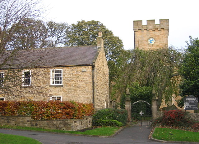
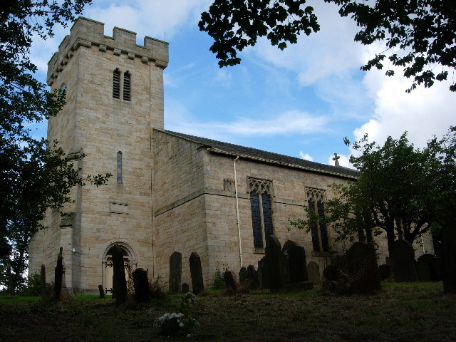
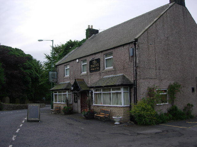
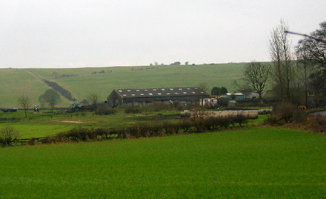
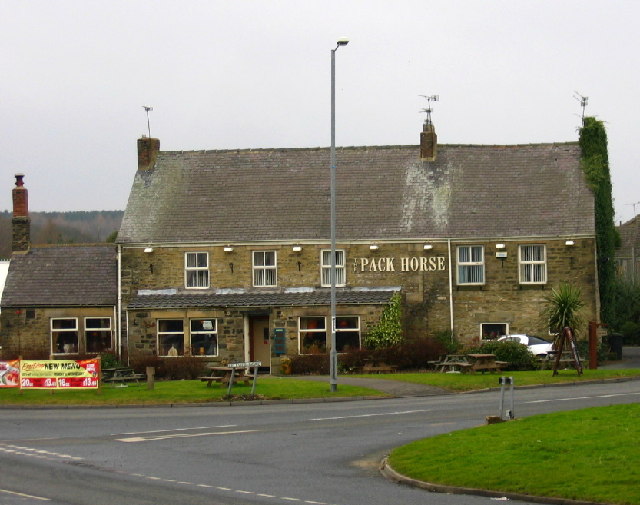
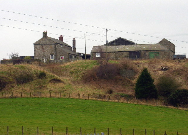
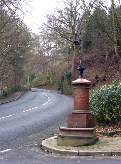
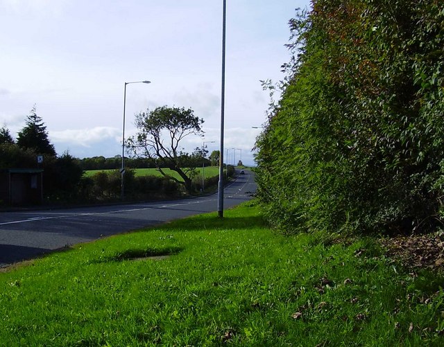
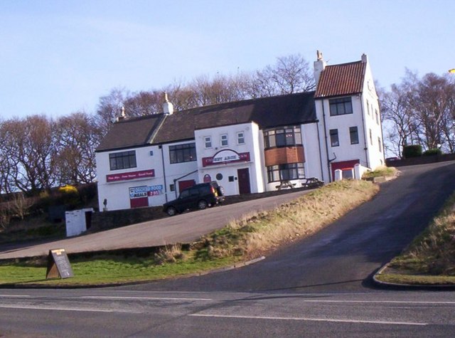
Gill Wood Images

Images are sourced within 2km of 54.906748/-1.6980911 or Grid Reference NZ1956. Thanks to Geograph Open Source API. All images are credited.

The tower of St Margaret's, Tanfield Tommy Armstrong, the famous 19th C. Ballad singer and composer is buried here. In 1861 this tiny village had a 'National School' as well as a 'Grammar School'! For more on the 'Church of St. Margaret of Antioch':
<span class="nowrap"><a title="http://www.stmargarets.derwentside.org.uk/noframes/history.htm" rel="nofollow ugc noopener" href="http://www.stmargarets.derwentside.org.uk/noframes/history.htm">Link</a><img style="margin-left:2px;" alt="External link" title="External link - shift click to open in new window" src="https://s1.geograph.org.uk/img/external.png" width="10" height="10"/></span>
The tower of St Margaret's, Tanfield
Tommy Armstrong, the famous 19th C. Ballad singer and composer is buried here. In 1861 this tiny village had a 'National School' as well as a 'Grammar School'! For more on the 'Church of St. Margaret of Antioch': LinkExternal link
St. Margaret's Church, Tanfield
The Peacock Public House
Fellside Farm
Fellside Farm
The Pack Horse, Crookgate Just outside Burnopfield, this pub was destroyed by fire in 2002 but reopened after six months
The Pack Horse, Crookgate
Just outside Burnopfield, this pub was destroyed by fire in 2002 but reopened after six months
Crookbank Farm
Crookbank Farm
Roadside Pant On the B6314 near the end of its climb into Burnopfield, this fountain (with electric light!) was erected in 1905 in memory of a respected local resident, known especially for his "kindness to dumb animals".
Roadside Pant
On the B6314 near the end of its climb into Burnopfield, this fountain (with electric light!) was erected in 1905 in memory of a respected local resident, known especially for his "kindness to dumb animals".
War Memorial, Burnopfield A simple monument in pristine condition; obviously well cared for.
War Memorial, Burnopfield
A simple monument in pristine condition; obviously well cared for.
Fields after Emerging from woods after crossing Causey Arch This shows the cross country route to Tanfield Hall
Fields after Emerging from woods after crossing Causey Arch
This shows the cross country route to Tanfield Hall
Field adjoining minor road that links Causey with Tanfield
Road to Byermoor from High Marley Hill
Briar Terrace, Crookgate Bank
The Church of St Margaret of Antioch , Tanfield
The Peacock Pub, Tanfield
The Pack Horse Pub, Tanfield
Sunrise Over High Marley Hill The street lights of the Lobleyhill Road can be seen silhouetted on the brow of the hill. Not obvious but the foreground is a newly planted field.

The old saying "Red sky in the morning ..." certainly turned out to be true. By twelve noon heavy rain had set in.
Sunrise Over High Marley Hill
The street lights of the Lobleyhill Road can be seen silhouetted on the brow of the hill. Not obvious but the foreground is a newly planted field. The old saying "Red sky in the morning ..." certainly turned out to be true. By twelve noon heavy rain had set in.
Lane to Gibside Hillhead
Stile at Gibside Hillhead With views along the Derwent valley to the Tyne.
Stile at Gibside Hillhead
With views along the Derwent valley to the Tyne.
Show me another place!

Gill Wood is located at Grid Ref: NZ1956 (Lat: 54.906748, Lng: -1.6980911)

Unitary Authority: County Durham

Police Authority: Durham

What 3 Words

///priced.imply.chops. Near Tanfield, Co. Durham

Related Wikis

Byermoor

Byermoor is a village near Burnopfield and Sunniside in England. The village has a population of around 100 and contains a school (Sacred Heart) and a...

Crookgate Bank

Crookgate Bank is a village in County Durham, in England. It is situated to the east of Burnopfield. == References ==

Tanfield, County Durham

Tanfield is a village and former civil parish, now in the parish of Stanley, in the County Durham district, in the ceremonial county of Durham, England...

Causey, County Durham

Causey is a village in County Durham, in England. It is situated a short distance to the north of Stanley. == Demographic Information == Village contains...

Causey Bank Mires

Causey Bank Mires is a Site of Special Scientific Interest in the Derwentside district of County Durham, England. It lies alongside and to the west of...

Tanfield Railway

The Tanfield Railway is a 4 ft 8+1⁄2 in (1,435 mm) standard gauge heritage railway in Gateshead and County Durham, England. Running on part of a former...

Marley Hill

Marley Hill is a former colliery village about six miles to the south west of Gateshead, near the border between Tyne and Wear and County Durham. It has...

Banqueting House, Gibside

The Banqueting House is an 18th-century building, part of the Gibside estate, near Newcastle upon Tyne, England. Its style has been described as "Gothick...

Have you been to Gill Wood?

Leave your review of Gill Wood below (or comments, questions and feedback).