West Catraw Wood
Wood, Forest in Northumberland
England
West Catraw Wood
West Catraw Wood is a picturesque forest located in Northumberland, England. Covering an area of approximately 200 acres, this woodland is a haven for nature enthusiasts and outdoor enthusiasts alike. It is situated just a few miles west of the quaint village of Catraw, amidst the breathtaking Northumberland countryside.
The wood boasts a diverse range of tree species, including oak, beech, birch, and pine. These towering trees create a dense canopy, providing shade and shelter to a wide variety of wildlife. Visitors to West Catraw Wood are likely to encounter a plethora of bird species, such as woodpeckers, owls, and thrushes, as well as small mammals like squirrels and rabbits.
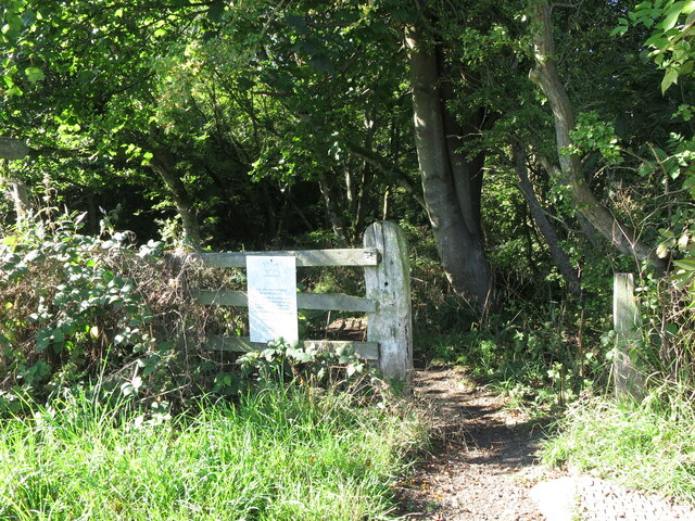
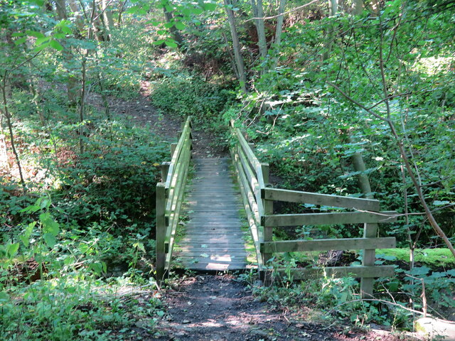
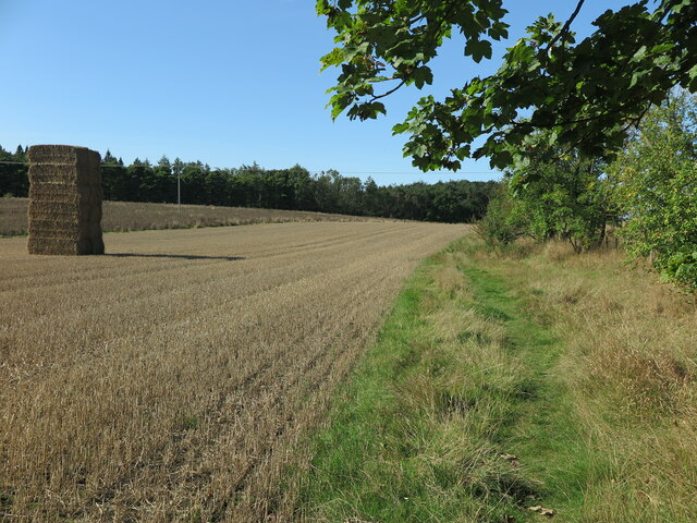
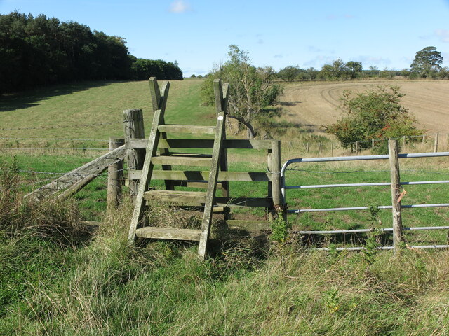
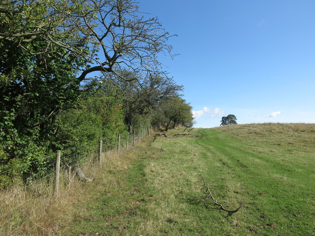
The forest offers a network of well-maintained walking trails, allowing visitors to explore its enchanting beauty at their own pace. These trails wind through the woodland, revealing stunning vistas, tranquil streams, and hidden clearings along the way. Nature lovers can immerse themselves in the sights and sounds of the forest, enjoying the peace and tranquility that this natural haven provides.
West Catraw Wood is also a popular spot for recreational activities such as picnicking, camping, and photography. Its idyllic setting and breathtaking scenery make it an ideal location for capturing stunning images of nature. Additionally, the forest's proximity to Catraw village offers easy access to amenities, making it a convenient destination for day trips or longer stays.
Overall, West Catraw Wood is a captivating forest that showcases the beauty of Northumberland's natural landscapes. Whether visitors are seeking relaxation, adventure, or simply a connection with nature, this woodland offers an unforgettable experience for all who venture into its depths.
If you have any feedback on the listing, please let us know in the comments section below.
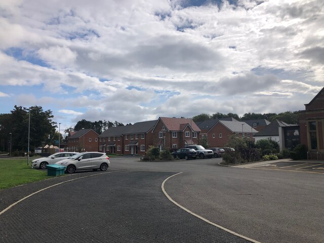
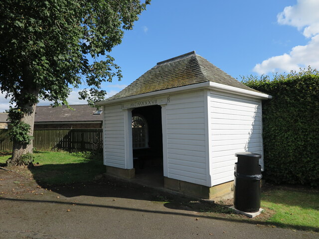
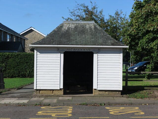
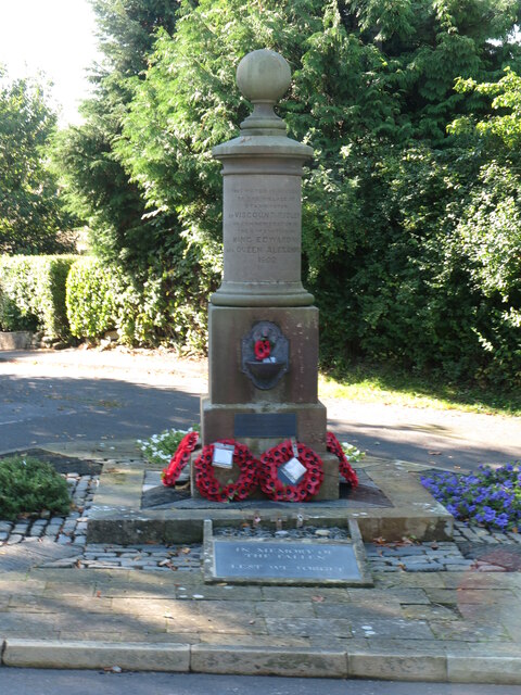
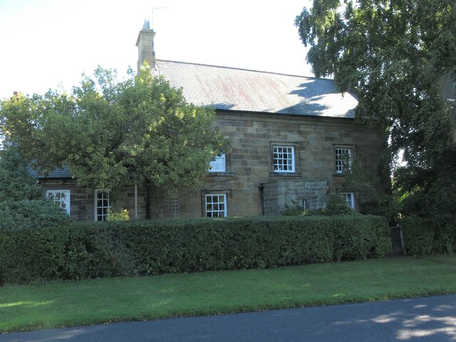
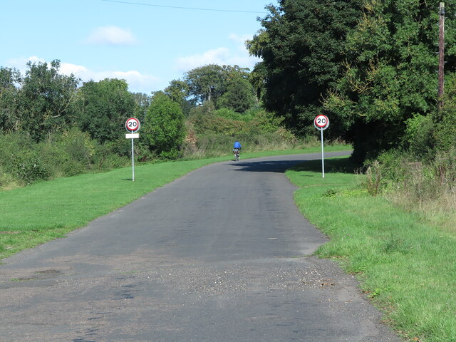
West Catraw Wood Images
Images are sourced within 2km of 55.110039/-1.696593 or Grid Reference NZ1979. Thanks to Geograph Open Source API. All images are credited.


West Catraw Wood is located at Grid Ref: NZ1979 (Lat: 55.110039, Lng: -1.696593)
Unitary Authority: Northumberland
Police Authority: Northumbria
What 3 Words
///lousy.firebird.suppose. Near Stannington, Northumberland
Nearby Locations
Related Wikis

St Mary's Hospital, Stannington
St Mary's Hospital was a mental health facility near Stannington, Northumberland, England. It was opened in 1910 and closed permanently in 1995. It was...

St. Mary's Park, Northumberland
St Mary’s Park is a housing estate which is being developed in the civil parish of Stannington near Morpeth, Northumberland, England. It is located about...
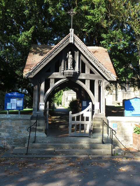
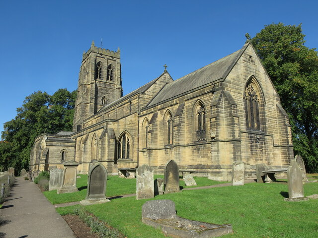
Stannington, Northumberland
Stannington is a village and civil parish in Northumberland, England. The population of the civil parish was 1,219 at the 2001 Census, increasing to 1...

Glororum, Stannington
Glororum is a hamlet in the civil parish of Stannington in Northumberland, England, about 0.6 miles (1 km) west of Clifton and the A1 road. The nearest...

Stannington Sanatorium
Stannington Sanatorium was the first purpose-built children's tuberculosis sanatorium in the UK which officially opened on 5 October 1907 near to the village...

Stannington railway station
Stannington railway station was a railway station which served the village of Stannington in Northumberland, England. It was located on the East Coast...

Clifton, Northumberland
Clifton is a hamlet in Northumberland, in England. The population is between 20 and 30. It is situated a short distance to the south of Morpeth, on the...

Tranwell Airfield
Tranwell Airfield is a former airfield located 3.3 miles (5.3 km) southwest of Morpeth and 11.5 miles (18.5 km) north west of Newcastle upon Tyne, Tyne...
Have you been to West Catraw Wood?
Leave your review of West Catraw Wood below (or comments, questions and feedback).