Edden's Wood
Wood, Forest in Staffordshire Lichfield
England
Edden's Wood

Edden's Wood, located in Staffordshire, England, is a picturesque woodland area that encompasses approximately 50 acres of land. This ancient woodland dates back several centuries and is known for its diverse range of flora and fauna. It is situated near the village of Edden, hence the name.
The woodland is predominantly composed of broadleaf trees such as oak, beech, and ash, which create a dense canopy that provides shade and shelter for a variety of wildlife. The forest floor is covered in a lush carpet of ferns, wildflowers, and mosses, creating a vibrant and enchanting atmosphere. The wood is also home to several species of rare and protected plants, including bluebells, wood anemones, and primroses.
Edden's Wood is a haven for wildlife enthusiasts and nature lovers alike, boasting a rich diversity of animal species. Visitors may spot red foxes, badgers, and rabbits roaming among the trees, while the melodious songs of various bird species fill the air. Woodpeckers, robins, and owls are just a few of the feathered inhabitants found within the wood.
The woodland offers several walking trails that meander through its enchanting landscape, allowing visitors to explore its beauty at their own pace. These paths lead to hidden clearings, babbling brooks, and tranquil ponds, making it an ideal spot for peaceful picnics or leisurely walks.
Edden's Wood is a cherished natural gem in Staffordshire, offering visitors a tranquil escape from the hustle and bustle of everyday life, while providing a sanctuary for an array of plant and animal species.
If you have any feedback on the listing, please let us know in the comments section below.
Edden's Wood Images
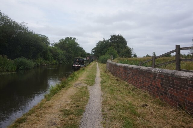
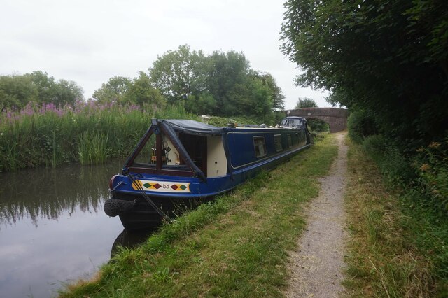
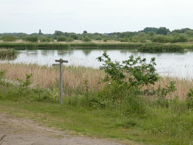
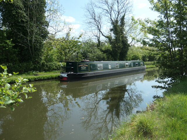
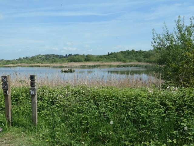
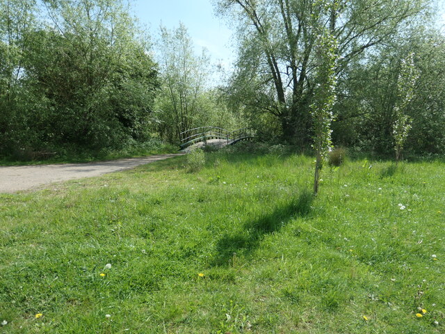
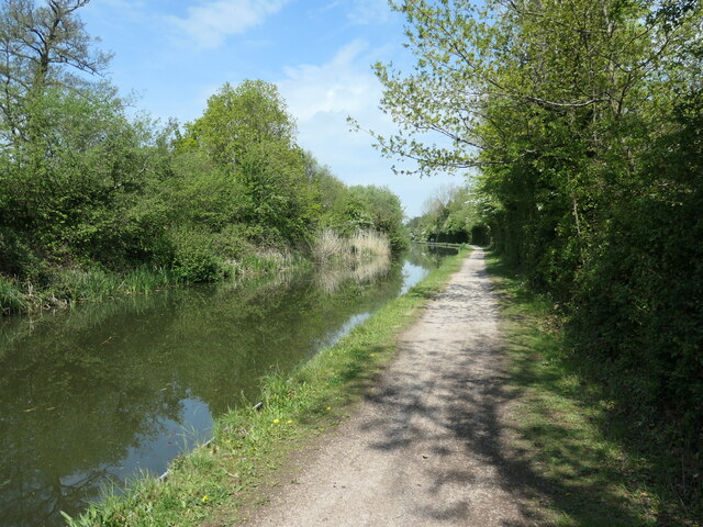
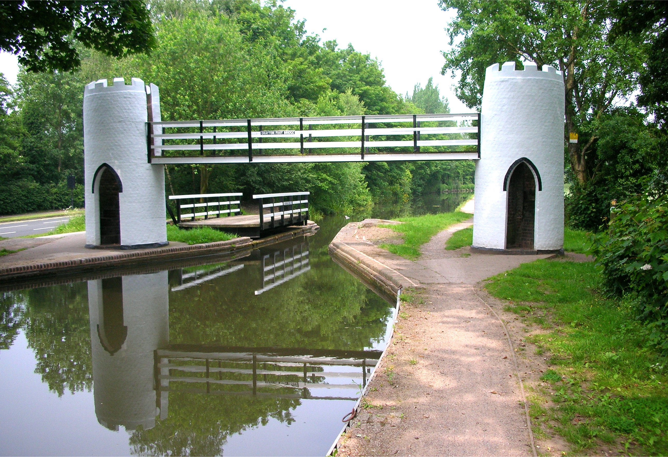
Images are sourced within 2km of 52.600145/-1.7142221 or Grid Reference SK1900. Thanks to Geograph Open Source API. All images are credited.


![Bridleway on Fishers Mill Bridge Heading west from the Birmingham & Fazeley canal. It forms the county boundary between Warwickshire [left/south] and Staffordshire [right/north]. Fishers Mill was a water-powered corn mill on the River Tame.](https://s0.geograph.org.uk/geophotos/07/20/92/7209284_7945c07c.jpg)


Edden's Wood is located at Grid Ref: SK1900 (Lat: 52.600145, Lng: -1.7142221)
Administrative County: Staffordshire
District: Lichfield
Police Authority: Staffordshire
What 3 Words
///reds.lifts.flips. Near Fazeley, Staffordshire
Nearby Locations
Related Wikis
Drayton Bassett
Drayton Bassett is a village and civil parish since 1974 in Lichfield District in Staffordshire, England. The village is on the Heart of England Way,...

Drayton Manor
Drayton Manor, one of Britain's lost houses, was a British stately home at Drayton Bassett, since its formation in the District of Lichfield, Staffordshire...

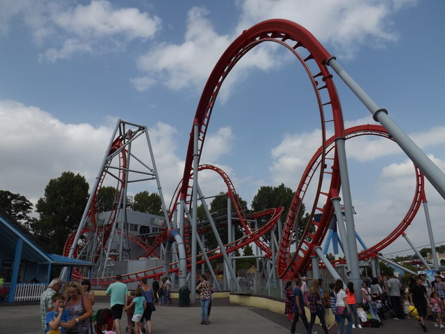
Accelerator (roller coaster)
Accelerator (formerly Ben 10 - Ultimate Mission) is a steel Family Boomerang roller coaster at Drayton Manor Resort. == Description == The ride is a prototype...
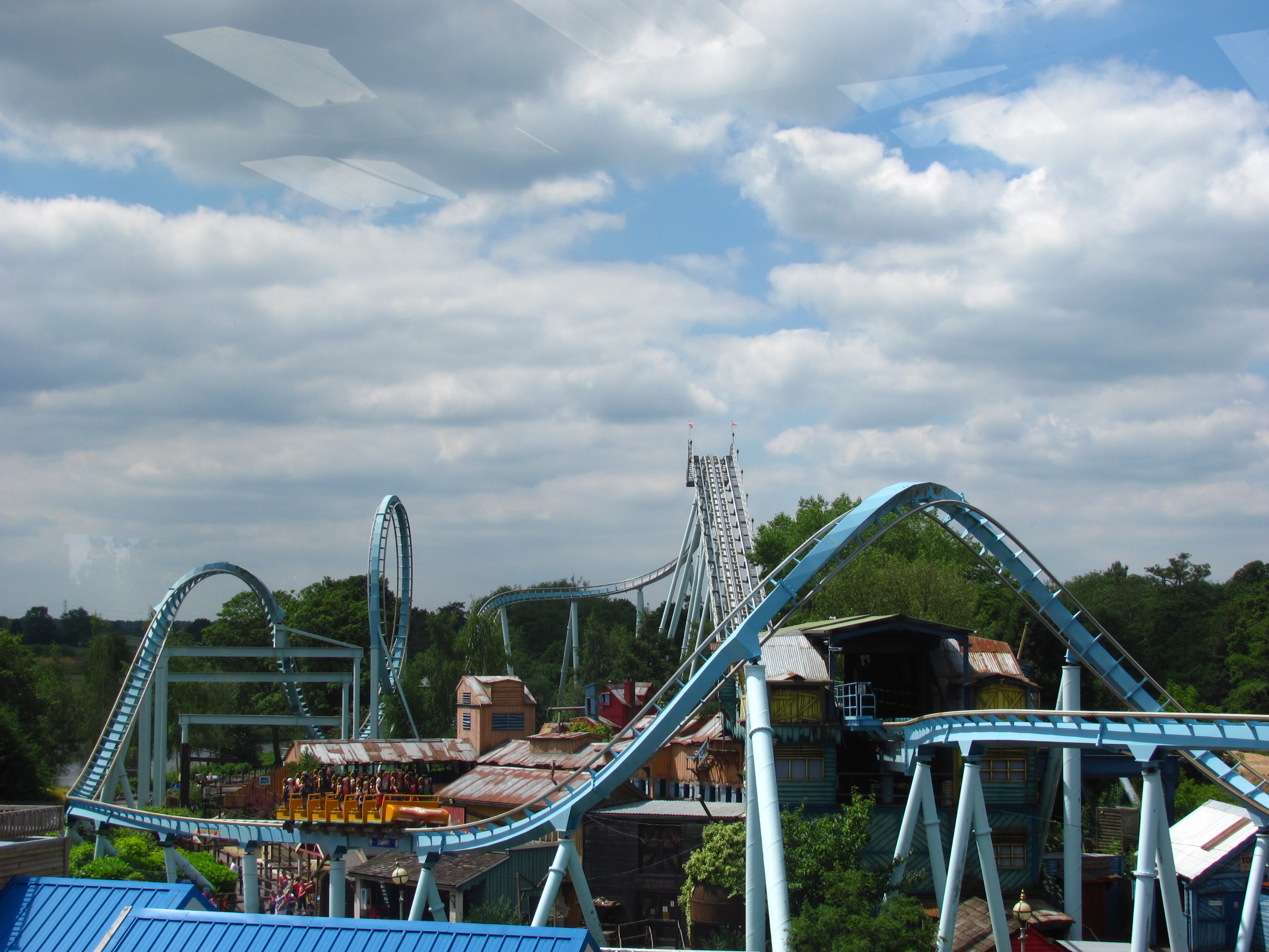
Drayton Manor Resort
Drayton Manor Resort is a family theme park, zoo and accommodation in the grounds of the former Drayton Manor, in Drayton Bassett, Staffordshire, England...
Shockwave (Drayton Manor)
Shockwave (Originally The 7up Shockwave) was an Intamin stand-up roller coaster, located at Drayton Manor Resort in Tamworth in the United Kingdom. It...
G Force (roller coaster)
G Force was a roller coaster at Drayton Manor Resort, Tamworth, England. It was the only X-Car coaster in the UK and was opened by the band G4 in 2005...
Thomas Land (Drayton Manor)
Thomas Land is a themed area at Drayton Manor Resort in Staffordshire, England, based on the popular long-running children's television series, Thomas...
Middleton Lakes RSPB reserve
Middleton Lakes RSPB reserve is a 160 hectares (400 acres) nature reserve, formally opened on 19 May 2011, created and run by the Royal Society for the...
Nearby Amenities
Located within 500m of 52.600145,-1.7142221Have you been to Edden's Wood?
Leave your review of Edden's Wood below (or comments, questions and feedback).