Damgate
Settlement in Norfolk Broadland
England
Damgate

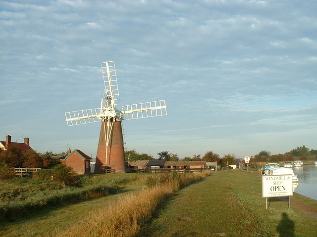
Damgate is a small village located in the county of Norfolk, in the eastern part of England. It is situated about 5 miles west of the market town of Acle and approximately 12 miles northeast of Norwich, the county's capital city. The village sits on the banks of the River Bure, which forms part of the Norfolk Broads, a renowned network of lakes and rivers.
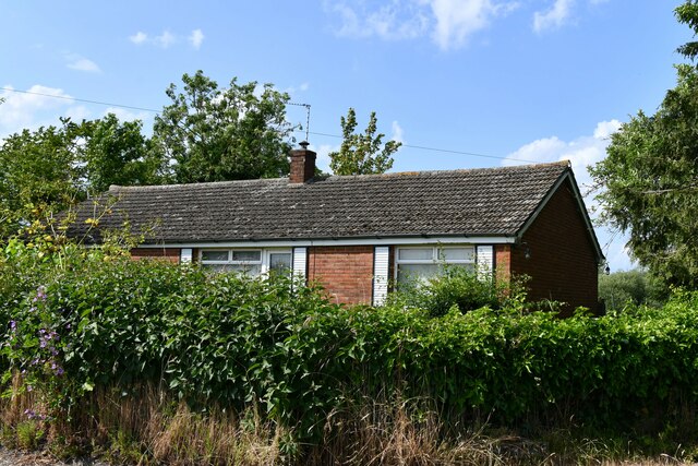
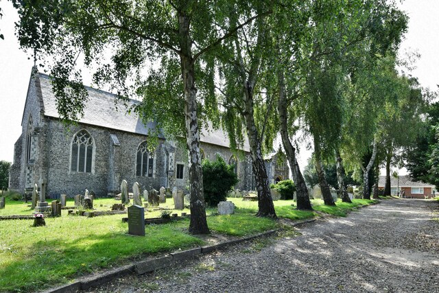
Damgate is a predominantly rural area, characterized by its picturesque countryside and tranquil atmosphere. It is surrounded by fields and farmland, providing a scenic backdrop for residents and visitors alike. The village itself consists of a cluster of traditional brick and thatched-roof cottages, giving it a charming and quintessentially English feel.
Despite its small size, Damgate offers several amenities for its residents. These include a village hall, which serves as a community hub for various events and gatherings, and a local pub that provides a cozy spot for socializing and enjoying a pint. The village is also within easy reach of nearby towns and cities, offering access to a wider range of services and facilities.
The rural location of Damgate makes it an ideal destination for nature lovers and outdoor enthusiasts. The surrounding area offers ample opportunities for walking, cycling, and boating, allowing visitors to explore the beautiful Norfolk countryside and the waterways of the Broads.
If you have any feedback on the listing, please let us know in the comments section below.
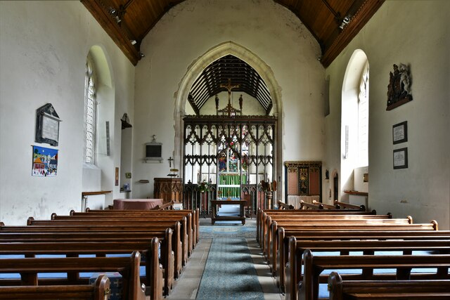
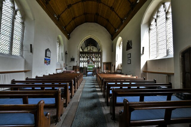
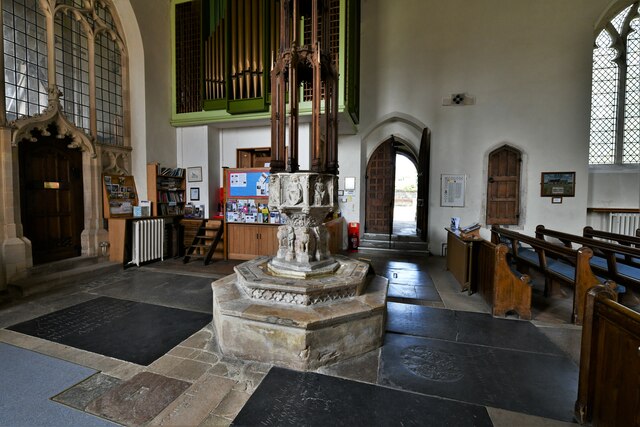
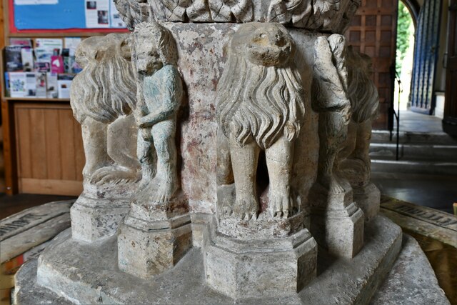
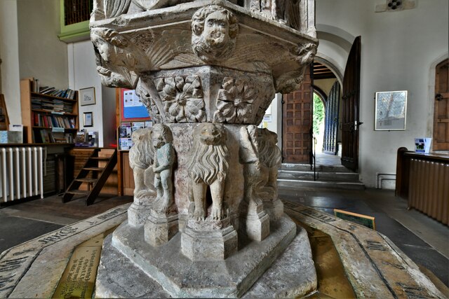
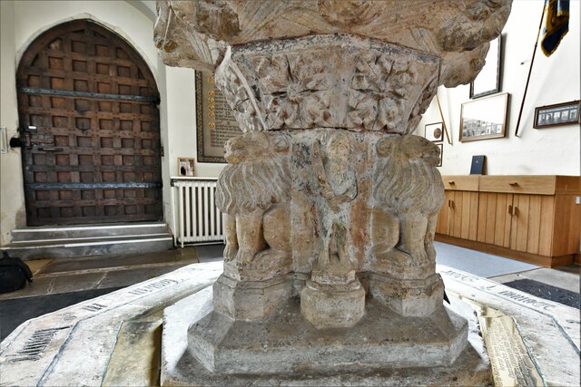
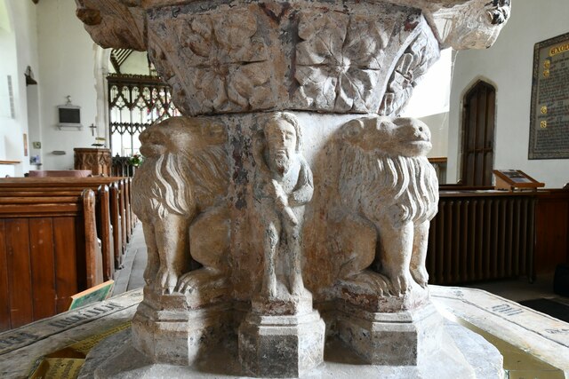
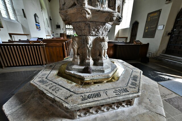
Damgate Images
Images are sourced within 2km of 52.631446/1.551699 or Grid Reference TG4009. Thanks to Geograph Open Source API. All images are credited.


Damgate is located at Grid Ref: TG4009 (Lat: 52.631446, Lng: 1.551699)
Administrative County: Norfolk
District: Broadland
Police Authority: Norfolk
What 3 Words
///rents.fluffed.cardinal. Near Acle, Norfolk
Nearby Locations
Related Wikis

Blofield and Flegg Rural District
Blofield and East and West Flegg Rural Districts were adjacent rural districts in Norfolk, England from 1894 to 1935.They were formed under the Local Government...
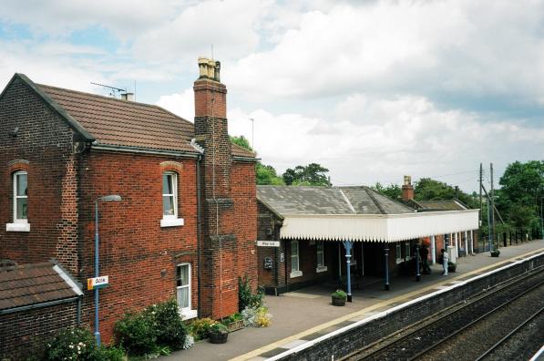
Acle railway station
Acle railway station is on the Wherry Lines in the east of England, serving the town of Acle, Norfolk. It is 10 miles 34 chains (16.8 km) down the line...
Decoy Carr, Acle
Decoy Carr, Acle is a 56-hectare (140-acre) biological Site of Special Scientific Interest south of Acle in Norfolk. It is part of the Broadland Ramsar...
Acle
Acle ( AY-kəl) is a market town on the River Bure on the Norfolk Broads in Norfolk, located halfway between Norwich and Great Yarmouth. It has the only...

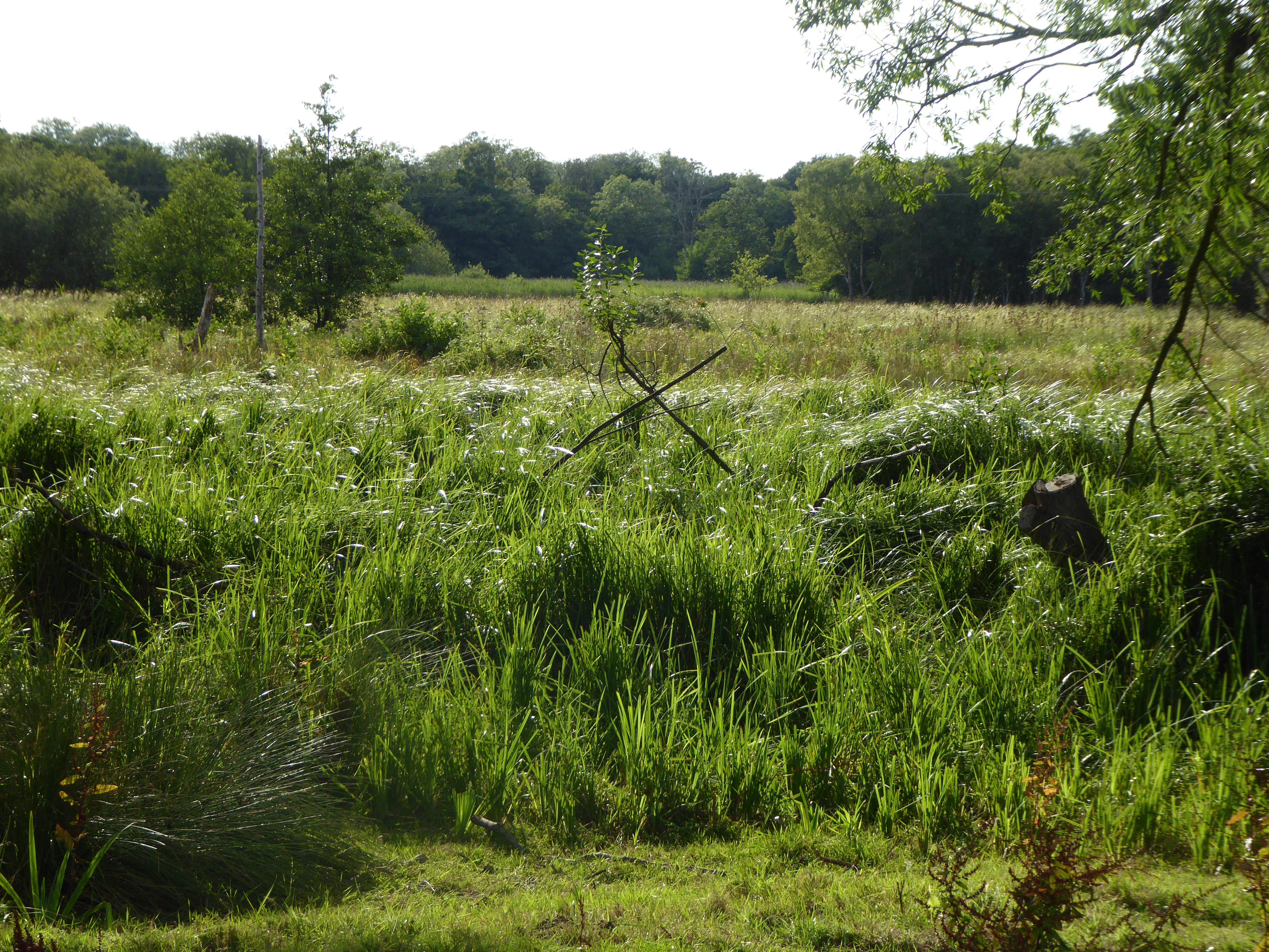
Damgate Marshes, Acle
Damgate Marshes, Acle is a 64.7-hectare (160-acre) biological Site of Special Scientific Interest between Norwich and Great Yarmouth in Norfolk. It is...

Acle Academy
The Acle Academy, formerly known as Acle High School, is a secondary school which is located in Acle, Norfolk, England. This is in the centre of the Norfolk...
Fishley
Fishley is a village in the English county of Norfolk, forming part of the civil parish of Upton with Fishley. The village is located 0.5 miles (0.80 km...
Tunstall, Norfolk
Tunstall is a village and former civil parish, now in the parish of Halvergate, in the Broadland district of Norfolk, England. It lies some 14 miles (22...
Nearby Amenities
Located within 500m of 52.631446,1.551699Have you been to Damgate?
Leave your review of Damgate below (or comments, questions and feedback).