Decoy Carr
Wood, Forest in Norfolk Broadland
England
Decoy Carr

Decoy Carr, located in Norfolk, England, is a remarkable wood and forest area that offers a tranquil escape into nature. Spanning approximately 200 acres, it is situated near the village of Surlingham and is managed by the Norfolk Wildlife Trust.
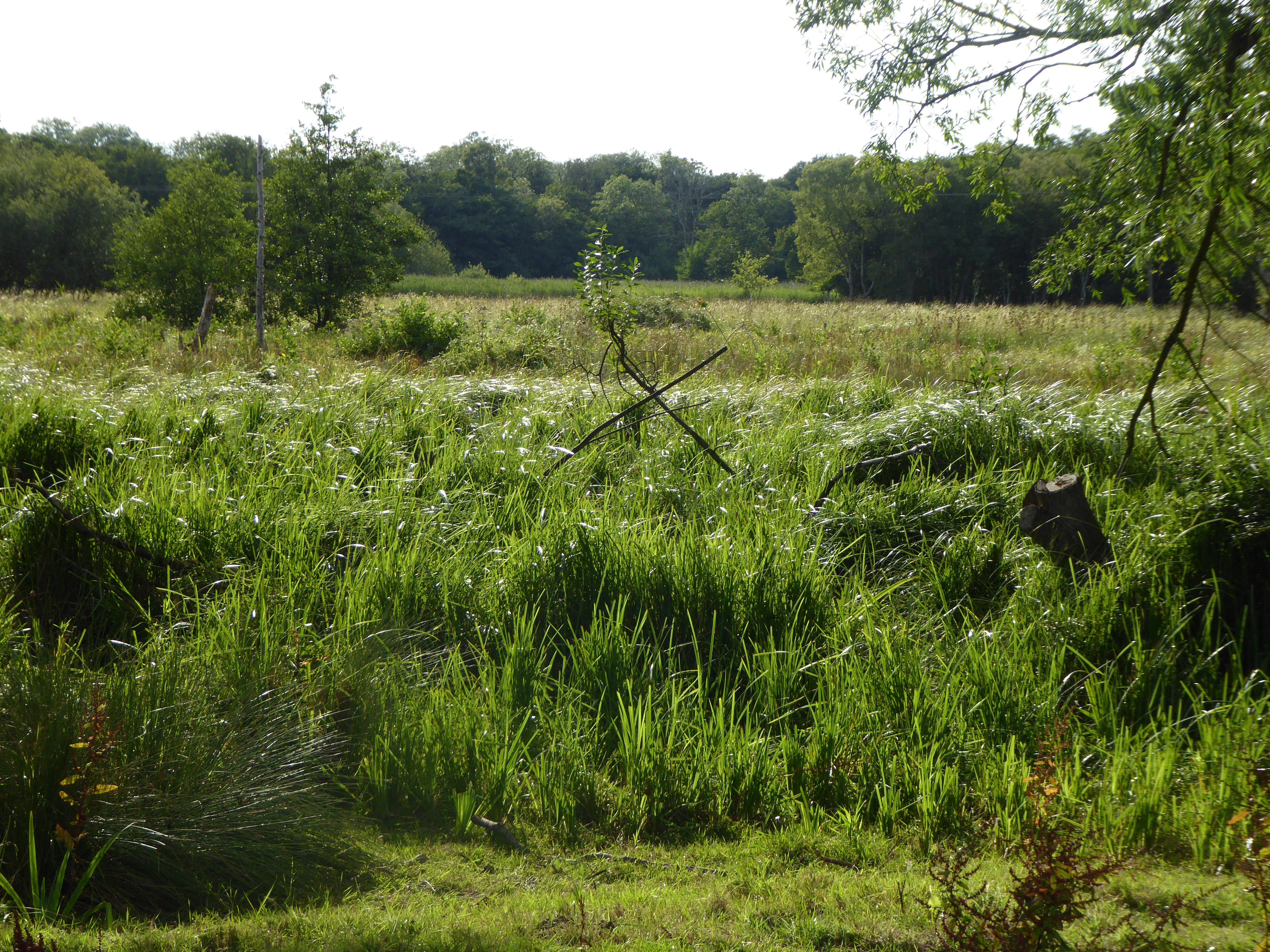
The landscape of Decoy Carr is characterized by a diverse range of habitats, including wet woodland, reedbeds, and open water. The wood itself consists mainly of broad-leaved trees such as oak, ash, and willow, providing a rich canopy that supports a wide array of wildlife. Visitors to this enchanting woodland are treated to a symphony of bird songs, with species such as warblers, woodpeckers, and owls frequently spotted.
The centerpiece of Decoy Carr is its shallow lake, which was originally created as a decoy to attract wildfowl for hunting purposes. Now transformed into a haven for wildlife, the lake is home to numerous aquatic plants and insects, attracting a myriad of waterfowl, including mallards, teal, and herons. Additionally, the surrounding reedbeds provide shelter for reed warblers and marsh harriers.
Aside from its natural beauty, Decoy Carr offers visitors a range of recreational activities. A network of well-maintained footpaths and boardwalks allows for pleasant walks through the woods, offering stunning views of the surrounding countryside. Picnic areas are available, inviting visitors to enjoy a leisurely lunch while taking in the serene atmosphere.
Overall, Decoy Carr in Norfolk is a captivating woodland and forest area that offers a peaceful retreat into nature. With its diverse habitats, abundant wildlife, and recreational opportunities, it is a perfect destination for nature enthusiasts and those seeking solace amidst the beauty of the natural world.
If you have any feedback on the listing, please let us know in the comments section below.
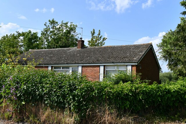
Decoy Carr Images
Images are sourced within 2km of 52.626095/1.5497833 or Grid Reference TG4009. Thanks to Geograph Open Source API. All images are credited.


Decoy Carr is located at Grid Ref: TG4009 (Lat: 52.626095, Lng: 1.5497833)
Administrative County: Norfolk
District: Broadland
Police Authority: Norfolk
What 3 Words
///emperor.meanders.verbs. Near Acle, Norfolk
Nearby Locations
Related Wikis
Decoy Carr, Acle
Decoy Carr, Acle is a 56-hectare (140-acre) biological Site of Special Scientific Interest south of Acle in Norfolk. It is part of the Broadland Ramsar...

Blofield and Flegg Rural District
Blofield and East and West Flegg Rural Districts were adjacent rural districts in Norfolk, England from 1894 to 1935.They were formed under the Local Government...
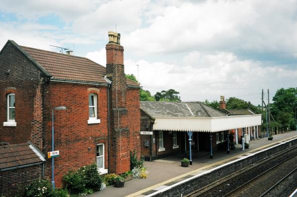
Acle railway station
Acle railway station is on the Wherry Lines in the east of England, serving the town of Acle, Norfolk. It is 10 miles 34 chains (16.8 km) down the line...

Damgate Marshes, Acle
Damgate Marshes, Acle is a 64.7-hectare (160-acre) biological Site of Special Scientific Interest between Norwich and Great Yarmouth in Norfolk. It is...
Acle
Acle ( AY-kəl) is a market town on the River Bure on the Norfolk Broads in Norfolk, located halfway between Norwich and Great Yarmouth. It has the only...
Tunstall, Norfolk
Tunstall is a village and former civil parish, now in the parish of Halvergate, in the Broadland district of Norfolk, England. It lies some 14 miles (22...

Acle Academy
The Acle Academy, formerly known as Acle High School, is a secondary school which is located in Acle, Norfolk, England. This is in the centre of the Norfolk...

St Mary's Church, Moulton
St Mary's Church is a redundant Anglican round-tower church near the village of Moulton St Mary, Norfolk, England. It is recorded in the National Heritage...
Nearby Amenities
Located within 500m of 52.626095,1.5497833Have you been to Decoy Carr?
Leave your review of Decoy Carr below (or comments, questions and feedback).