Arrock Plantation

Wood, Forest in Derbyshire Derbyshire Dales

England

Arrock Plantation

Gate entrance to Great Shacklow Wood
Gate entrance to Great Shacklow Wood Credit: Alan Heardman

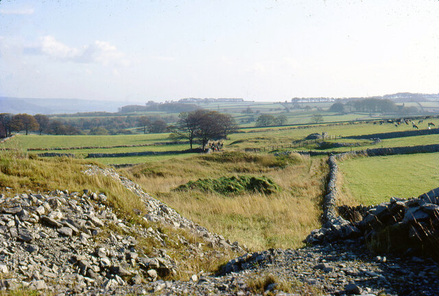
Arrock Plantation is a sprawling woodland located in Derbyshire, England. Situated in the heart of the county, this vast forest spans over hundreds of acres, making it a haven for nature enthusiasts and outdoor adventurers alike.

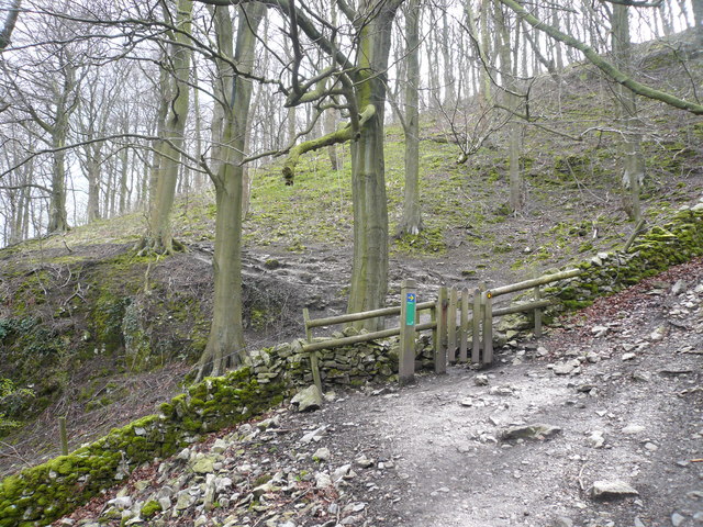
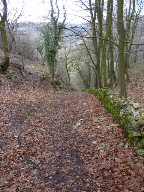
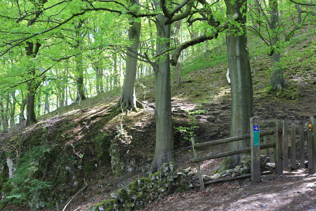
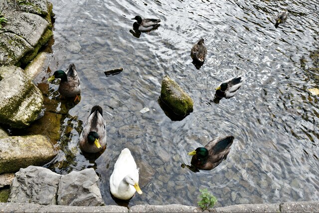
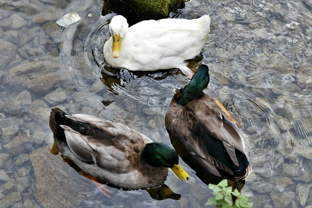
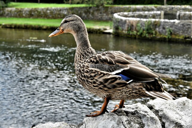
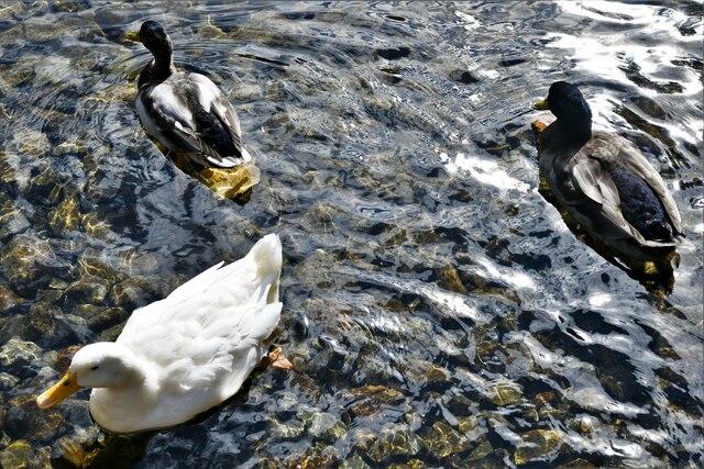
The plantation is characterized by its dense and diverse collection of trees, including oak, beech, and birch, which provide a picturesque and serene atmosphere. The woodland floor is adorned with a rich carpet of wildflowers, adding to the beauty of the surroundings. This vibrant ecosystem supports a wide variety of wildlife, including deer, rabbits, foxes, and numerous bird species, making it a popular destination for birdwatchers and wildlife enthusiasts.

The woodland is crisscrossed by a network of well-maintained trails, offering visitors the opportunity to explore the plantation on foot or by bicycle. These trails vary in difficulty, catering to both casual strollers and experienced hikers. The plantation also features a designated picnic area, providing visitors with a perfect spot to relax and enjoy the tranquility of the forest.

Arrock Plantation is not only a natural gem but also holds historical significance. It is rumored to have been a hiding place for outlaws during medieval times, adding an air of mystery to the woodland's allure. The plantation has been preserved and protected by local authorities, ensuring that future generations can continue to enjoy its beauty and marvel at its rich history.

Overall, Arrock Plantation in Derbyshire is a must-visit destination for those seeking a peaceful and enchanting experience in the heart of nature. Its stunning landscapes, abundant wildlife, and historical charm make it a true gem in the Derbyshire countryside.

If you have any feedback on the listing, please let us know in the comments section below.

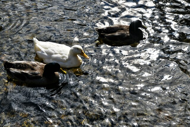
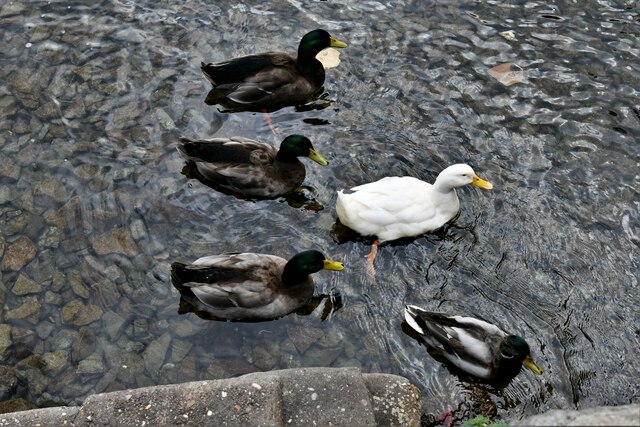
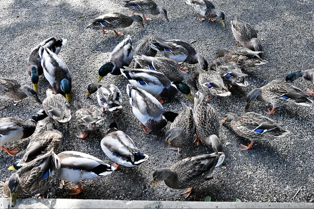
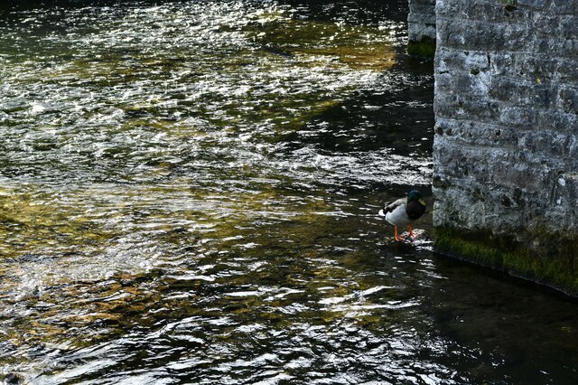
Arrock Plantation Images

Images are sourced within 2km of 53.217841/-1.722966 or Grid Reference SK1869. Thanks to Geograph Open Source API. All images are credited.

Gate entrance to Great Shacklow Wood
Going down A 1 in 1 slope on footpath through wood to White Lodge and Deep Dale
Going down
A 1 in 1 slope on footpath through wood to White Lodge and Deep Dale
Gateway to Great Shacklow Wood
Greengates Shaft Before railway sleepers were used to cap old lead mine shafts in the Peak, rough stone "beehives" (known as cuggans) were built over them. Just to the north-east of the nearby footpath was a series of these which have now been replaced (although some do, still, remain within the White Peak) and this beehive covered Greengates shaft on the vein of the same name. The shaft's position is still visible.
Greengates Shaft
Before railway sleepers were used to cap old lead mine shafts in the Peak, rough stone "beehives" (known as cuggans) were built over them. Just to the north-east of the nearby footpath was a series of these which have now been replaced (although some do, still, remain within the White Peak) and this beehive covered Greengates shaft on the vein of the same name. The shaft's position is still visible.
Fieldgrove Mine No 3 Shaft Viewed from the centre of mining operations at Fieldgrove Mine can be seen the No 3 shaft in the distance, now covered by concrete sleepers, and the gin race where the horse walked round to wind up the ore. The field walls follow this circle, once occupied by the horse gin.
Fieldgrove Mine No 3 Shaft
Viewed from the centre of mining operations at Fieldgrove Mine can be seen the No 3 shaft in the distance, now covered by concrete sleepers, and the gin race where the horse walked round to wind up the ore. The field walls follow this circle, once occupied by the horse gin.
Ashford in The Water's well-fed ducks 1: The Sheepwash Bridge, the ducks are all midstream
Ashford in The Water's well-fed ducks 2: By the Sheepwash Bridge, the ducks are all midstream
Ashford in The Water's well-fed ducks 3: Having crossed the Sheepwash Bridge, the ducks are still midstream
Ashford in The Water's well-fed ducks 4: Suddenly ducks are coming towards us from every direction
Ashford in The Water's well-fed ducks 5: They start paddling in a bizarre circular movement
Ashford in The Water's well-fed ducks 6: We wondered if she would join them
Ashford in The Water's well-fed ducks 7: The circle is broken
Ashford in The Water's well-fed ducks 8: They all (30 ducks) seem to be heading in the same direction
Ashford in The Water's well-fed ducks 9: We have shown the food, they are about to come out of the water
Ashford in The Water's well-fed ducks 10: Now on dry land, a feeding frenzy ensues
Ashford in The Water's well-fed ducks 11: Leaving a solitary duck or perhaps he didn't get the message
Ashford in The Water: Fennel Street
Ashford in The Water: Attractive cottage frontage
Show me another place!

Arrock Plantation is located at Grid Ref: SK1869 (Lat: 53.217841, Lng: -1.722966)

Administrative County: Derbyshire

District: Derbyshire Dales

Police Authority: Derbyshire

What 3 Words

///spurted.washing.visa. Near Bakewell, Derbyshire

Nearby Locations

Arrock Plantation

Related Wikis

Ashford Black Marble

Ashford Black Marble is the name given to a dark limestone, quarried from mines near Ashford-in-the-Water, in Derbyshire, England. Once cut, turned and...

St Michael and All Angels' Church, Sheldon

St Michael and All Angels’ Church, Sheldon is a Grade II listed parish church in the Church of England in Sheldon, Derbyshire. == History == The original...

Holy Trinity Church, Ashford-in-the-Water

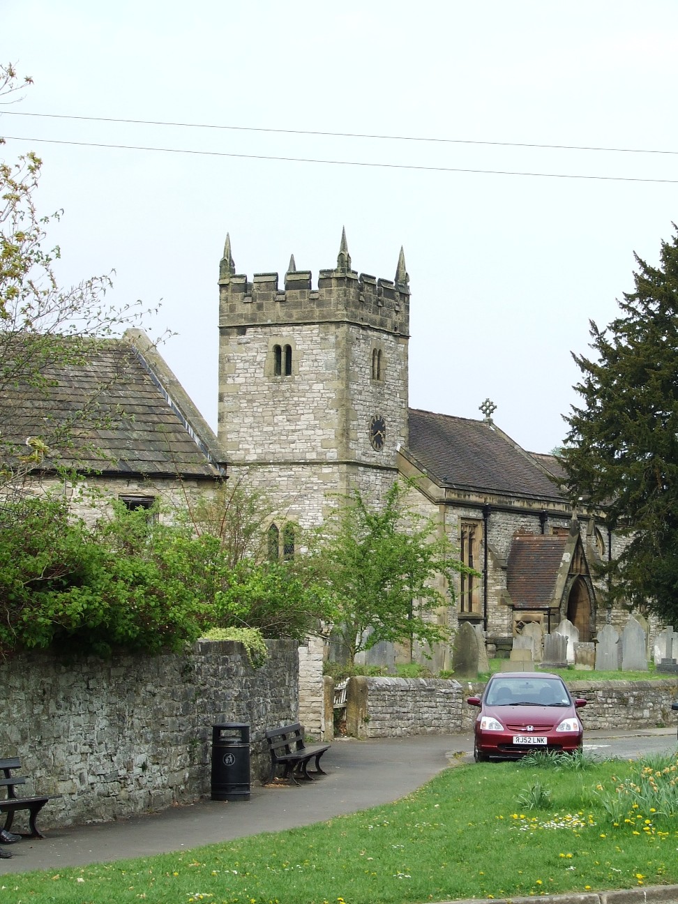
Holy Trinity Church, Ashford-in-the-Water is a Grade II listed parish church in the Church of England: 66  in Ashford-in-the-Water, Derbyshire. == History... ==

Ashford-in-the-Water

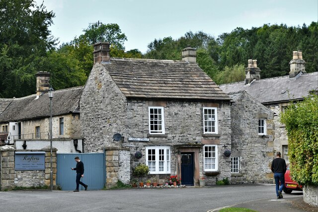
Ashford-in-the-Water is a village and civil parish in the Derbyshire Peak District, England. The village is on the River Wye, 2 miles (3 km) north-west...

Sheldon, Derbyshire

Sheldon is a village in the Derbyshire Peak District, England near Bakewell. It is best known for being the closest village to Magpie Mine, a lead mine...

Magpie Mine

Magpie Mine is a well-preserved disused lead mine near the village of Sheldon in Derbyshire, England, in the parish of Ashford in the Water. The walled...

Fin Cop

Fin Cop is a hill and an associated Iron Age hill fort in Monsal Dale, close to Ashford in the Water in Derbyshire, England.The fort shows evidence of...
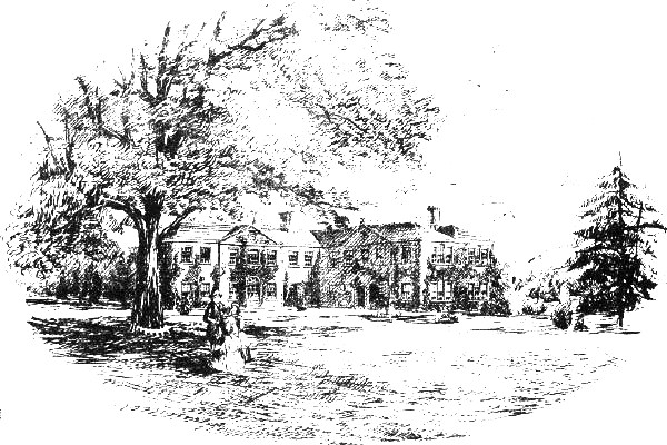
Thornbridge Hall

Thornbridge Hall (originally Thornbridge House) is a large English country house situated near the village of Great Longstone in the local government district...

Nearby Amenities

Located within 500m of 53.217841,-1.722966
Hazard Backward: falling_rocks
Source: survey (traffic sign)
Lat/Long: 53.2194319/-1.7204956
Barrier: stile
Material: stone
Step Count: 3
Steps: 3
Stile: stepover
Lat/Long: 53.2209604/-1.7268107
Barrier: stile
Material: stone
Source: survey;bing;gps
Stile: stepover
Lat/Long: 53.2154994/-1.7283376
Barrier: stile
Source: survey;bing;gps
Stile: stepover
Lat/Long: 53.2158744/-1.7270787
Power: pole
Lat/Long: 53.2144985/-1.7179775
Power: pole
Lat/Long: 53.2139936/-1.7196789
Power: pole
Lat/Long: 53.2145912/-1.7180377
Power: pole
Lat/Long: 53.2140799/-1.719752
Power: pole
Lat/Long: 53.2142087/-1.7204231
Power: pole
Lat/Long: 53.214371/-1.7215352
Power: pole
Lat/Long: 53.2145938/-1.7229268
Power: pole
Lat/Long: 53.2148154/-1.7243723
Power: pole
Lat/Long: 53.2151335/-1.7263404
Man Made: antenna
Lat/Long: 53.2187885/-1.7177497
Power: pole
Lat/Long: 53.2193539/-1.7256765
Power: pole
Lat/Long: 53.2196169/-1.7297955
Power: pole
Lat/Long: 53.2195486/-1.7270163
Power: pole
Lat/Long: 53.2197598/-1.7283397
The data included in this document is from www.openstreetmap.org. The data is made available under ODbL.

Have you been to Arrock Plantation?

Leave your review of Arrock Plantation below (or comments, questions and feedback).