Vicarage Plantation
Wood, Forest in Staffordshire East Staffordshire
England
Vicarage Plantation

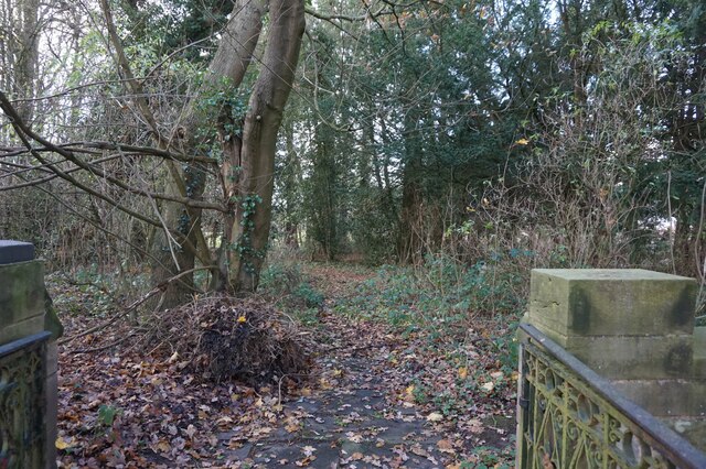
Vicarage Plantation is a picturesque woodland area located in Staffordshire, England. Situated near the village of Wood, this forested landscape covers an area of approximately 100 acres. The plantation is known for its diverse ecosystem, encompassing a variety of tree species and wildlife.
The woodland is predominantly composed of native broadleaf trees, including oak, birch, and beech. These towering trees provide a dense canopy, creating a sheltered environment for smaller plants and animals. The forest floor is covered with a lush carpet of ferns, mosses, and wildflowers, adding to the area's natural beauty.
Vicarage Plantation is home to a wide range of wildlife, making it a popular spot for nature enthusiasts and wildlife photographers. Birdwatchers can spot various species, such as woodpeckers, owls, and songbirds, while small mammals like rabbits, squirrels, and hedgehogs can be seen scurrying through the undergrowth. The woodland is also home to a diverse array of insects, including butterflies and beetles.
Visitors to Vicarage Plantation can explore the area through a network of well-maintained walking trails. These trails meander through the woodland, offering opportunities to immerse oneself in nature and discover its hidden gems. The peaceful atmosphere and tranquil surroundings make it an ideal place for a leisurely stroll or a family picnic.
Overall, Vicarage Plantation in Staffordshire is a captivating woodland, offering a haven for nature lovers and a chance to experience the beauty of the English countryside.
If you have any feedback on the listing, please let us know in the comments section below.
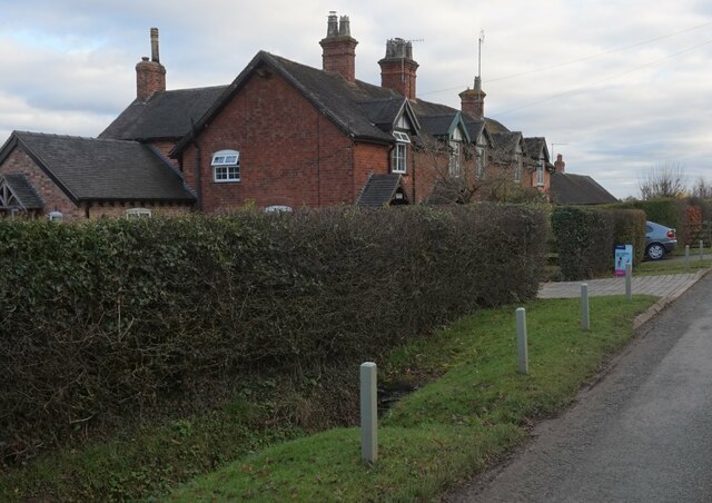
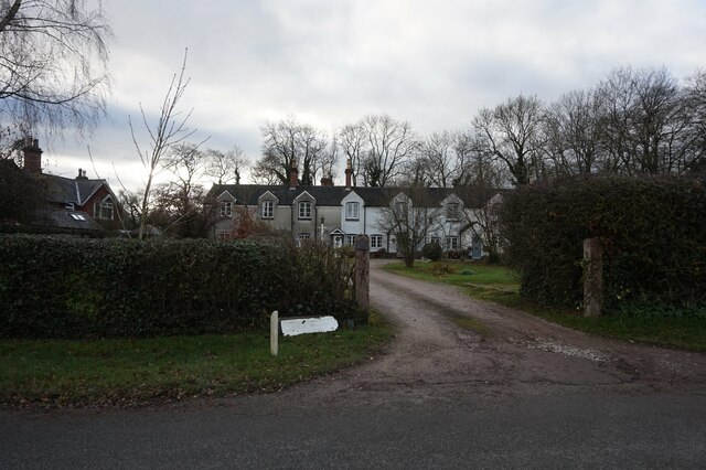
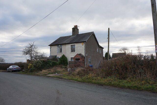
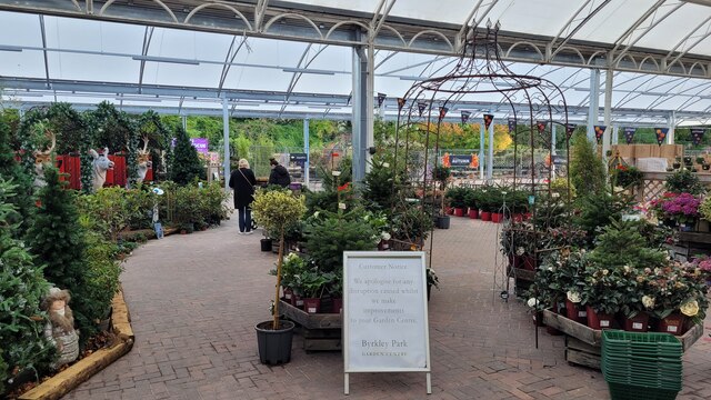
Vicarage Plantation Images
Images are sourced within 2km of 52.805244/-1.7256227 or Grid Reference SK1823. Thanks to Geograph Open Source API. All images are credited.


Vicarage Plantation is located at Grid Ref: SK1823 (Lat: 52.805244, Lng: -1.7256227)
Administrative County: Staffordshire
District: East Staffordshire
Police Authority: Staffordshire
What 3 Words
///equivocal.ducks.majoring. Near Barton under Needwood, Staffordshire
Nearby Locations
Related Wikis
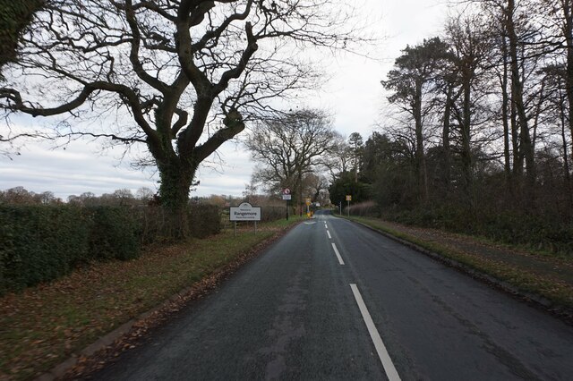
Rangemore
Rangemore is a village in the borough of East Staffordshire, situated approximately 4 miles (6 km) west of the town of Burton upon Trent, on a ridge of...

Byrkley Lodge
Byrkley Lodge was a country house and later racing horse stud farm, located close to Burton on Trent, Staffordshire. Demolished in 1953, its former grounds...
St George's Park National Football Centre
St George's Park (SGP) is the English Football Association's national football centre (NFC) built on a 330-acre (130 ha) site at Burton upon Trent, Staffordshire...

Tatenhill
Tatenhill is an ancient village and a civil parish located in a deep valley, between two hills, which gradually descend from the eastern border of Needwood...

Anslow Gate
Anslow Gate is a village in Staffordshire, England, situated to the west of Anslow on the road to Hanbury. According to the 2001 census, the parish of...

RAF Tatenhill
RAF Tatenhill is a former Royal Air Force satellite airfield in Tatenhill, Staffordshire, England, 4 NM (7.4 km; 4.6 mi) west of Burton on Trent. It was...
Dunstall Hall
Dunstall Hall is a privately owned 18th century mansion house near Tatenhill, Burton upon Trent, Staffordshire. It is a Grade II* listed building. �...
Dunstall
Dunstall is a small village and civil parish in the borough of East Staffordshire, Staffordshire, England. It lies between Burton upon Trent and Barton...
Nearby Amenities
Located within 500m of 52.805244,-1.7256227Have you been to Vicarage Plantation?
Leave your review of Vicarage Plantation below (or comments, questions and feedback).