Blackbrook Spinney
Wood, Forest in Staffordshire East Staffordshire
England
Blackbrook Spinney
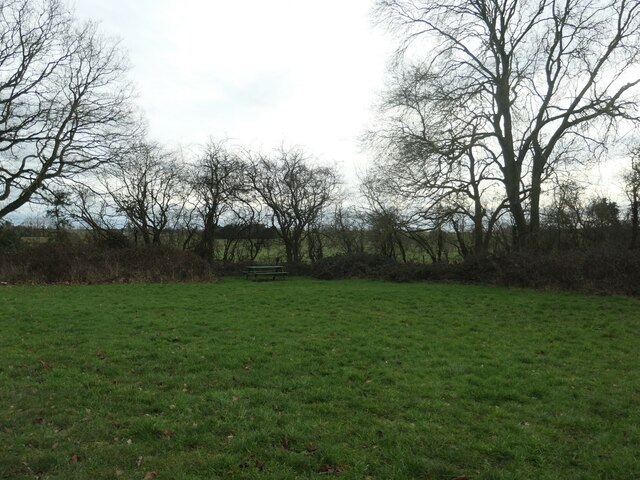
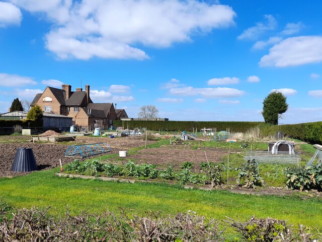
Blackbrook Spinney is a picturesque woodland located in Staffordshire, England. Covering an area of approximately 20 acres, it is a popular destination among nature enthusiasts and locals alike. The spinney is situated on the outskirts of the village of Blackbrook and is easily accessible by foot or bicycle.
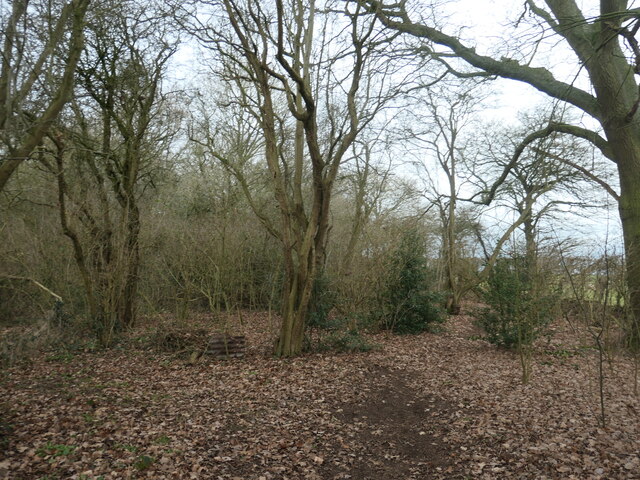
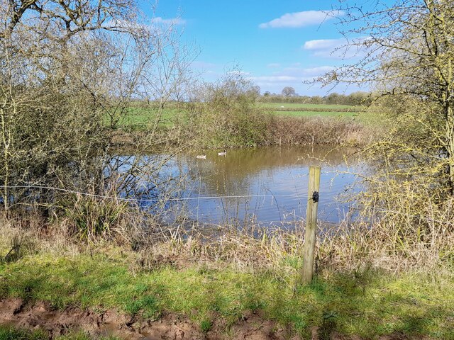
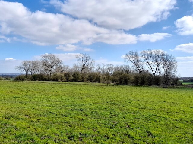
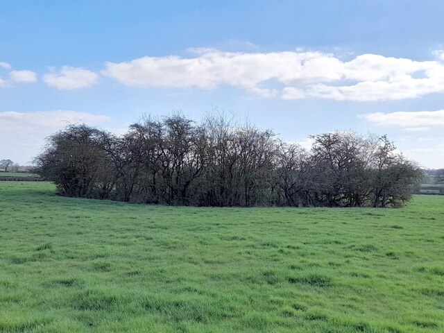
The woodland is predominantly composed of mature oak and ash trees, creating a dense and vibrant forest canopy. These tall trees provide shelter and habitat for a diverse range of wildlife, including birds, squirrels, and various species of insects. The forest floor is carpeted with a rich layer of leaf litter, which further supports a variety of plants and fungi.
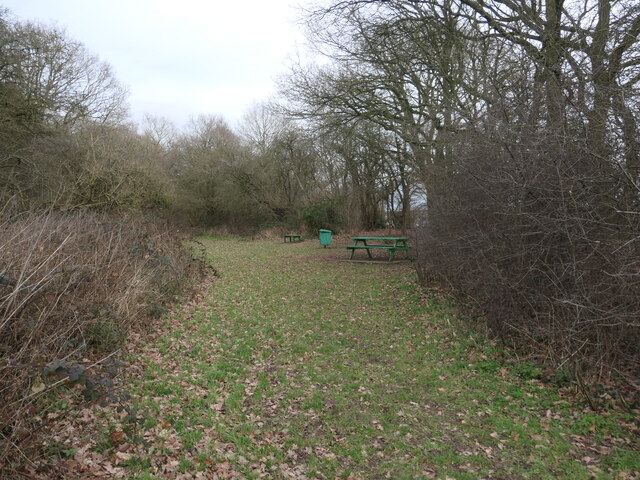
A network of well-maintained trails winds through the spinney, offering visitors the opportunity to explore its natural beauty. These paths are suitable for all ages and abilities, making it an ideal location for a leisurely stroll or a family outing. Along the way, visitors may encounter charming wooden benches strategically placed for moments of relaxation and contemplation.
Blackbrook Spinney is not only a haven for wildlife and a recreational area, but it also serves as an important educational resource. Local schools often organize field trips to the woodland, allowing students to learn about the different species of trees, plants, and animals that call the spinney their home.
Overall, Blackbrook Spinney is a tranquil and enchanting woodland that provides a tranquil escape from the hustle and bustle of everyday life. Its natural beauty and diverse ecosystem make it a treasured gem within the Staffordshire countryside.
If you have any feedback on the listing, please let us know in the comments section below.
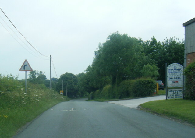
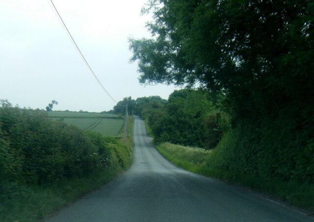
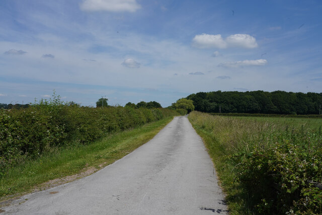
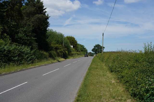
Blackbrook Spinney Images
Images are sourced within 2km of 52.835276/-1.7288626 or Grid Reference SK1826. Thanks to Geograph Open Source API. All images are credited.


Blackbrook Spinney is located at Grid Ref: SK1826 (Lat: 52.835276, Lng: -1.7288626)
Administrative County: Staffordshire
District: East Staffordshire
Police Authority: Staffordshire
What 3 Words
///voter.zeal.connector. Near Burton upon Trent, Staffordshire
Nearby Locations
Related Wikis
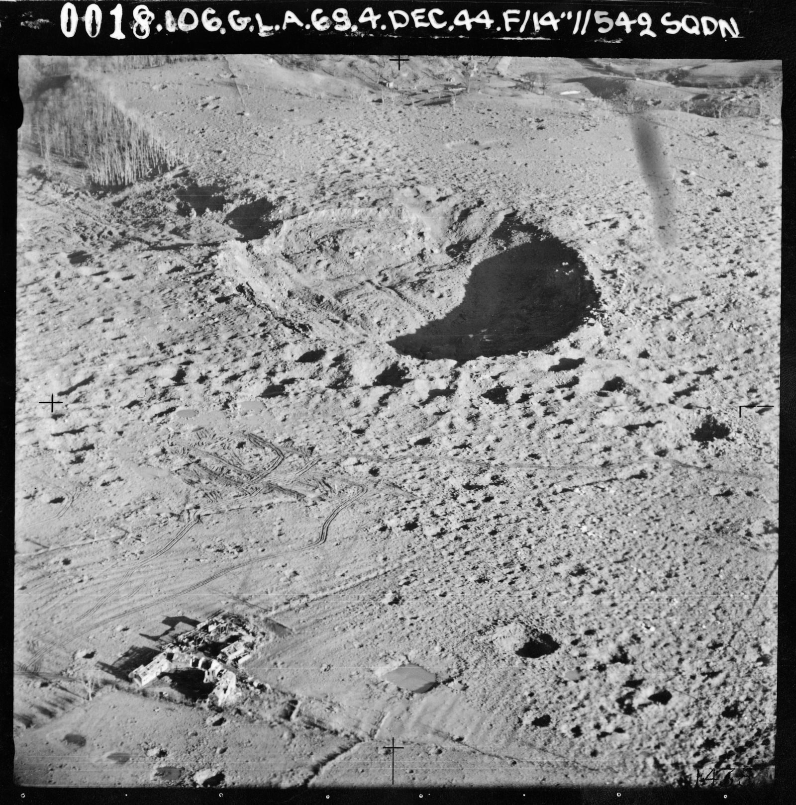
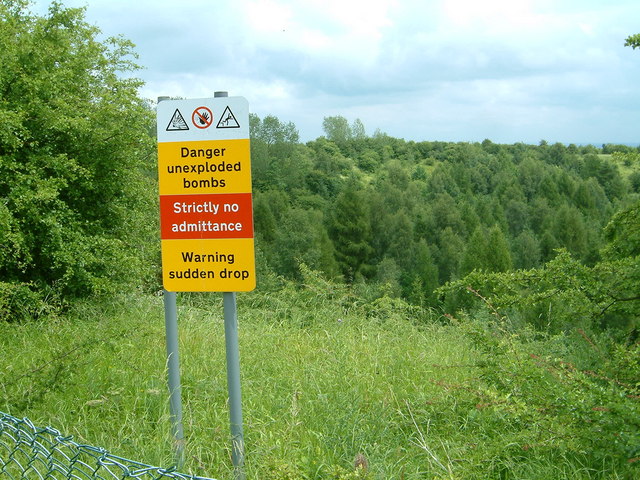
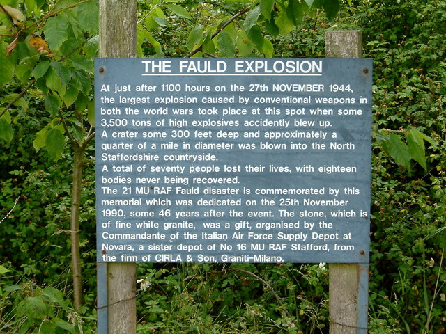
RAF Fauld explosion
The RAF Fauld explosion was a military accident which occurred at 11:11 am on Monday, 27 November 1944 at the RAF Fauld underground munitions storage depot...

Hanbury, Staffordshire
Hanbury is a rural village and civil parish 3.3 miles (5.3 km) west-north-west of Burton-on-Trent in Staffordshire, England. It is bounded to the north...

Anslow Gate
Anslow Gate is a village in Staffordshire, England, situated to the west of Anslow on the road to Hanbury. According to the 2001 census, the parish of...

Anslow
Anslow is a village and civil parish in the East Staffordshire district of Staffordshire, England, about three miles [4.8 km] north-west of Burton upon...
RAF Tatenhill
RAF Tatenhill is a former Royal Air Force satellite airfield in Tatenhill, Staffordshire, England, 4 NM (7.4 km; 4.6 mi) west of Burton on Trent. It was...
Tatenhill Airfield
Tatenhill Airfield (ICAO: EGBM) is a licensed airfield operated by Tatenhill Aviation Ltd. Its CAA Ordinary Licence (Number P813) allows flights for the...
Scropton Tramway
The Scropton Tramway was a British industrial 3 ft (914 mm) narrow gauge railway connecting several gypsum mines with the North Staffordshire Railway station...
St George's Park National Football Centre
St George's Park (SGP) is the English Football Association's national football centre (NFC) built on a 330-acre (130 ha) site at Burton upon Trent, Staffordshire...
Nearby Amenities
Located within 500m of 52.835276,-1.7288626Have you been to Blackbrook Spinney?
Leave your review of Blackbrook Spinney below (or comments, questions and feedback).