Blackbrook
Settlement in Staffordshire East Staffordshire
England
Blackbrook
Blackbrook is a small village located in Staffordshire, England. Situated approximately 4 miles southwest of the town of Newcastle-under-Lyme, it is nestled within the verdant countryside of the West Midlands region.
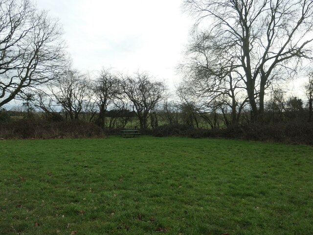
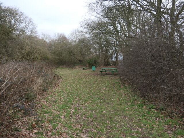
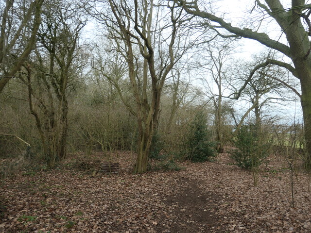
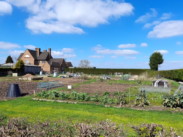
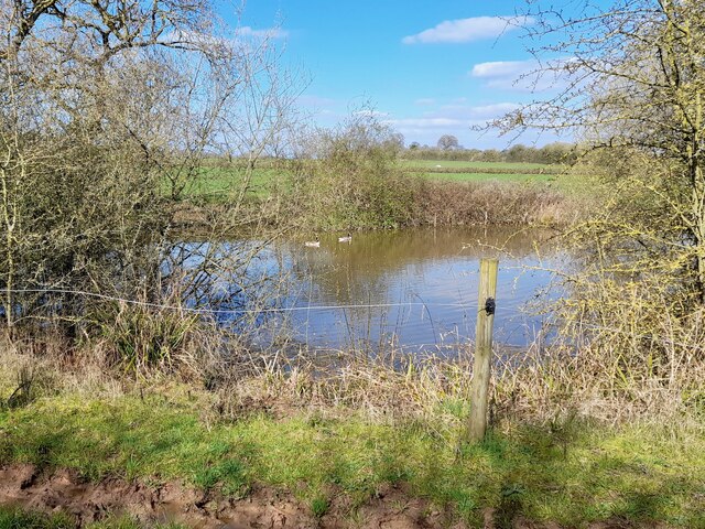
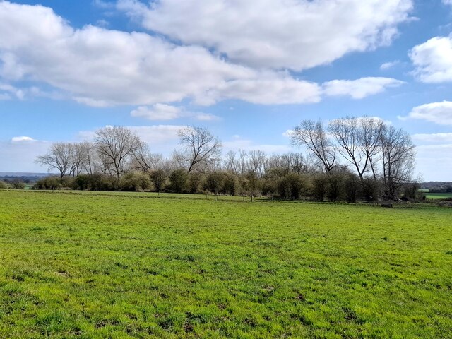
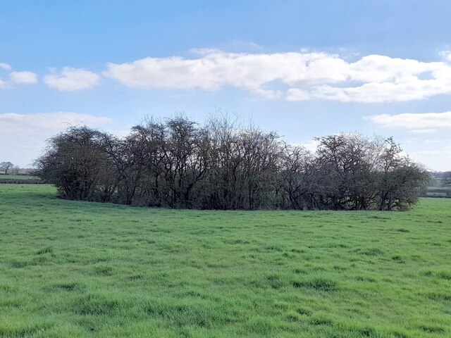
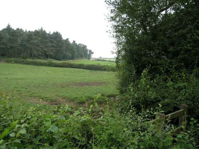
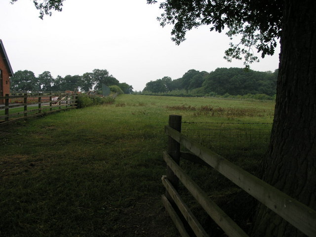
The village is characterized by its rural charm, with picturesque landscapes, rolling hills, and a tranquil atmosphere. The River Trent flows nearby, adding to the natural beauty of the area. The village is primarily residential, boasting a close-knit community that enjoys a peaceful lifestyle away from the hustle and bustle of larger towns and cities.
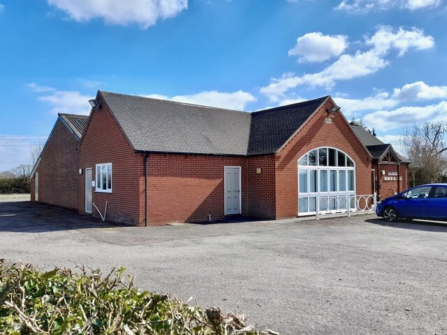
Blackbrook is home to a handful of amenities that serve its residents. These include a local pub, a convenience store, and a post office, providing essential services and fostering a sense of community. The village also benefits from its proximity to nearby larger towns, which offer a wider range of amenities such as schools, healthcare facilities, and shopping centers.
For outdoor enthusiasts, Blackbrook offers ample opportunities for exploration and recreation. The surrounding countryside provides a plethora of walking and cycling paths, allowing residents to enjoy the natural beauty of the area. Additionally, the nearby Cannock Chase Area of Outstanding Natural Beauty offers further recreational activities, including hiking, horse riding, and wildlife spotting.
Overall, Blackbrook offers a peaceful and idyllic setting for those seeking a rural lifestyle while still having access to the amenities of nearby towns. Its natural beauty, close-knit community, and proximity to the River Trent make it an attractive place to live for those looking to escape the hustle and bustle of urban living.
If you have any feedback on the listing, please let us know in the comments section below.
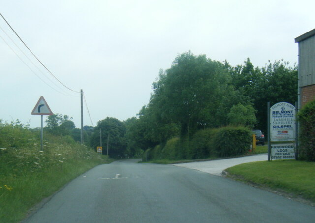
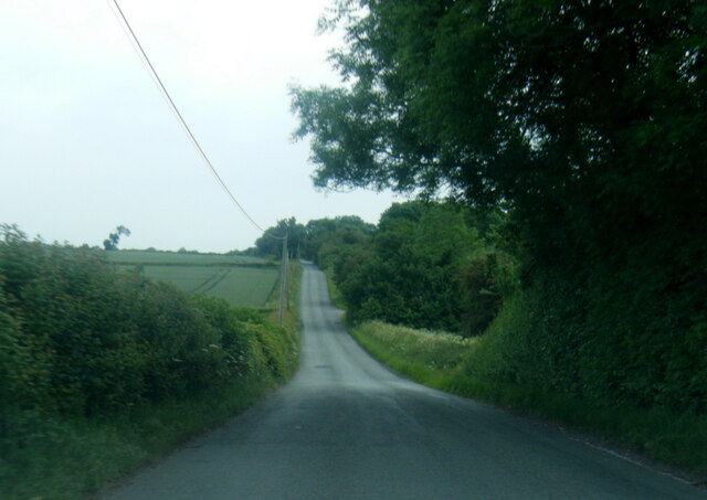
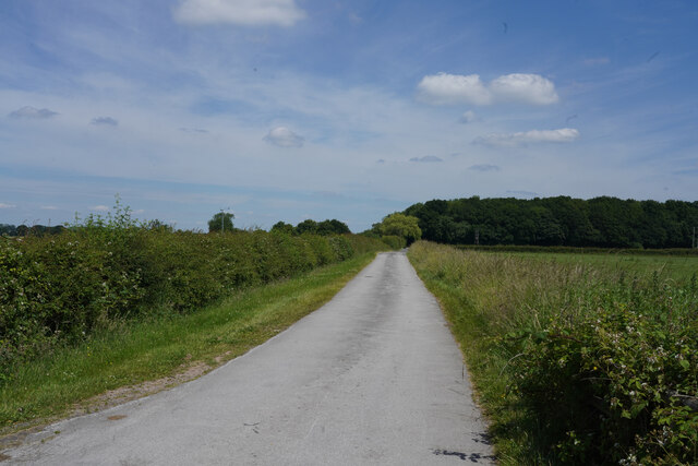
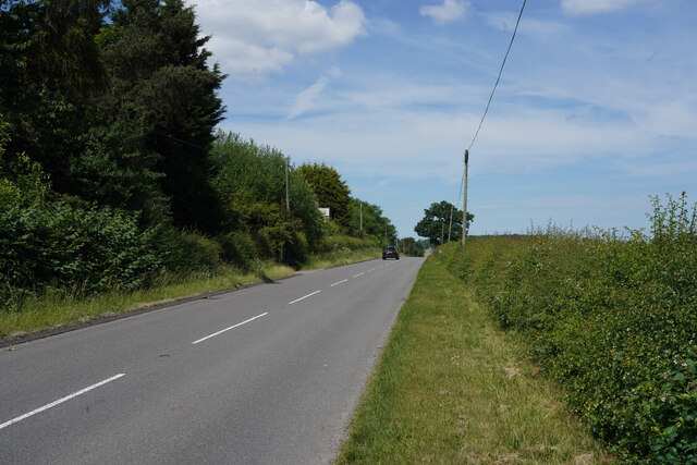
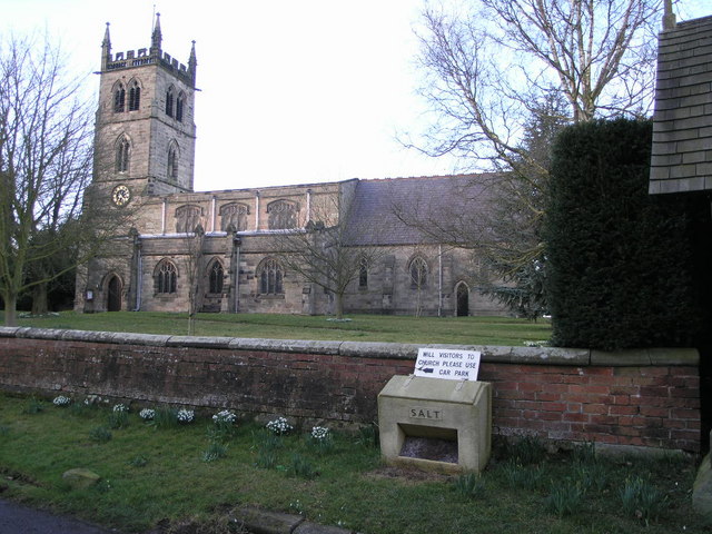
Blackbrook Images
Images are sourced within 2km of 52.834063/-1.729078 or Grid Reference SK1826. Thanks to Geograph Open Source API. All images are credited.
Blackbrook is located at Grid Ref: SK1826 (Lat: 52.834063, Lng: -1.729078)
Administrative County: Staffordshire
District: East Staffordshire
Police Authority: Staffordshire
What 3 Words
///salary.nurses.foresight. Near Burton upon Trent, Staffordshire
Nearby Locations
Related Wikis
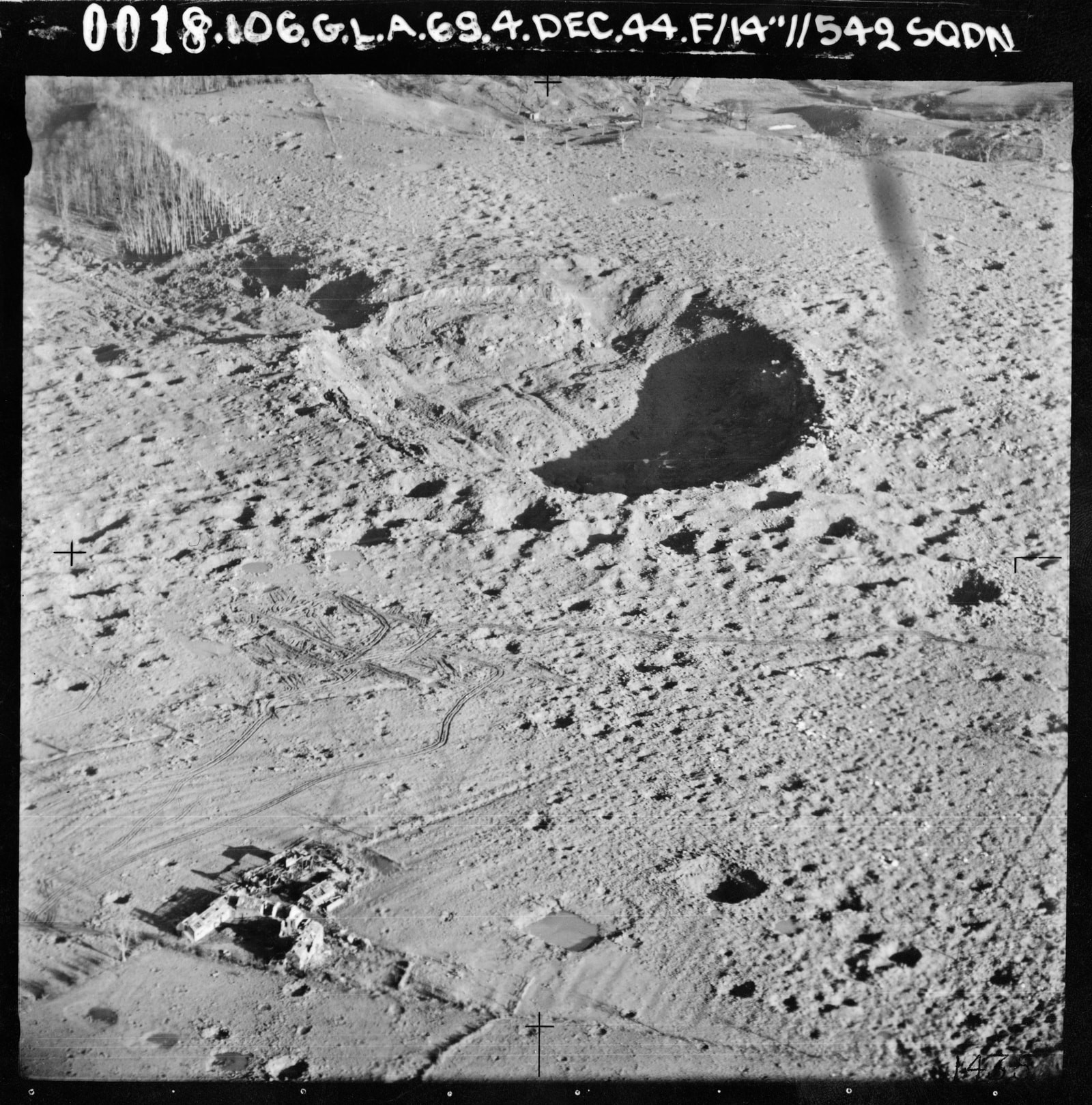
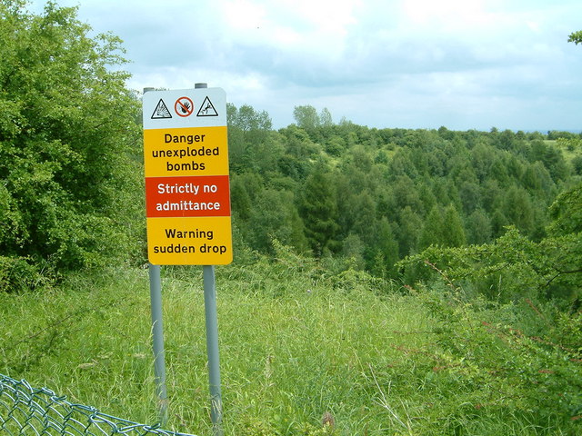
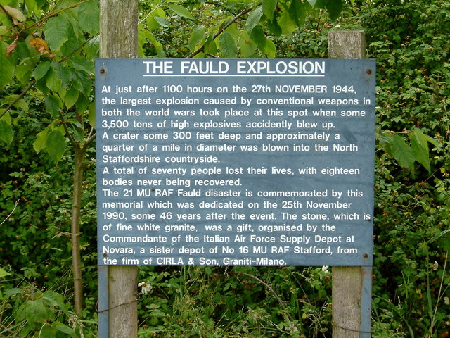
RAF Fauld explosion
The RAF Fauld explosion was a military accident which occurred at 11:11 am on Monday, 27 November 1944 at the RAF Fauld underground munitions storage depot...

Anslow Gate
Anslow Gate is a village in Staffordshire, England, situated to the west of Anslow on the road to Hanbury. According to the 2001 census, the parish of...

Hanbury, Staffordshire
Hanbury is a rural village and civil parish 3.3 miles (5.3 km) west-north-west of Burton-on-Trent in Staffordshire, England. It is bounded to the north...

Anslow
Anslow is a village and civil parish in the East Staffordshire district of Staffordshire, England, about three miles [4.8 km] north-west of Burton upon...
RAF Tatenhill
RAF Tatenhill is a former Royal Air Force satellite airfield in Tatenhill, Staffordshire, England, 4 NM (7.4 km; 4.6 mi) west of Burton on Trent. It was...
Tatenhill Airfield
Tatenhill Airfield (ICAO: EGBM) is a licensed airfield operated by Tatenhill Aviation Ltd. Its CAA Ordinary Licence (Number P813) allows flights for the...
St George's Park National Football Centre
St George's Park (SGP) is the English Football Association's national football centre (NFC) built on a 330-acre (130 ha) site at Burton upon Trent, Staffordshire...

Byrkley Lodge
Byrkley Lodge was a country house and later racing horse stud farm, located close to Burton on Trent, Staffordshire. Demolished in 1953, its former grounds...
Related Videos

A walk to the local pub on a sunny bank holiday
We are often asked if there is a nice walk directly off site, well there is and it leads to our local pub The Bell Inn. Fantastic for a ...
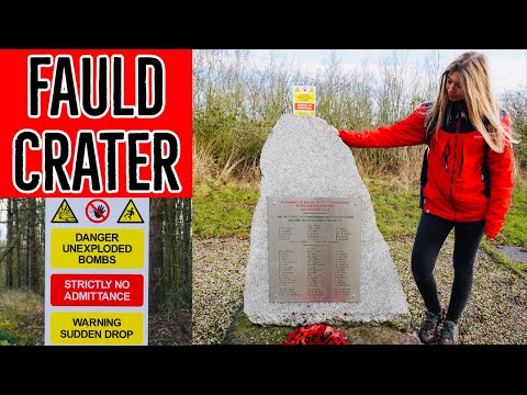
RAF Fauld Explosion | Fauld Crater Walk | Hanbury Crater | 4K Drone Footage
The Fauld Crater walk holds some deep history which you'll learn about whilst watching this video! The RAF Fauld Crater is in ...

Romantic UK getaway
Located in the very centre of England Peake's Retreats is the perfect couples getaway. Just outside of the small, quiet village of ...

Weekly vlog 6th October 2019
We escaped Staffordshire this week for a visit to Cornwall to do some wedding dress shopping, crabbing and running on the ...
Nearby Amenities
Located within 500m of 52.834063,-1.729078Have you been to Blackbrook?
Leave your review of Blackbrook below (or comments, questions and feedback).