Capertition Wood
Wood, Forest in Staffordshire East Staffordshire
England
Capertition Wood
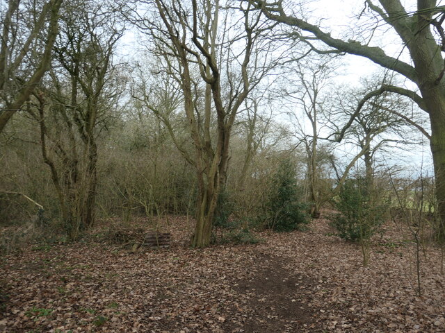
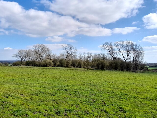
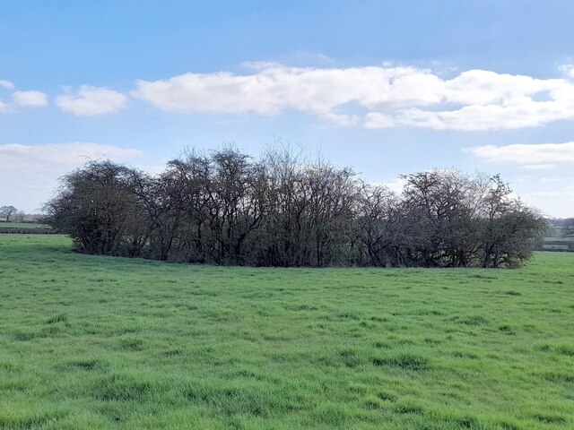
Cannock Chase, also known as Capertition Wood, is a designated Area of Outstanding Natural Beauty located in Staffordshire, England. Spanning over 26 square miles, it is renowned for its picturesque landscapes, diverse wildlife, and rich heritage.
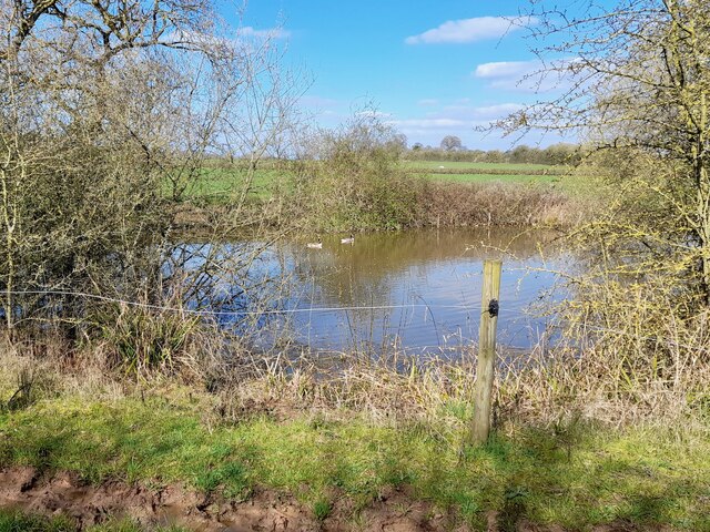
The wood is predominantly composed of mixed oak and pine trees, creating a unique and enchanting atmosphere. It offers a haven for nature enthusiasts, with a wide variety of flora and fauna. Visitors can encounter rare species such as adders, fallow deer, and several bird species including woodlarks and nightjars.
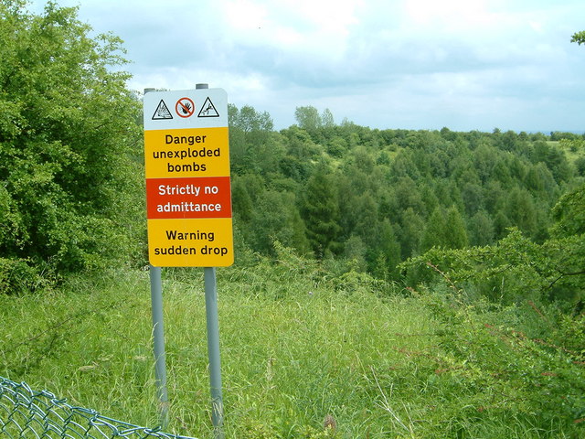
Capertition Wood also holds significant historical and cultural value. It has been inhabited for thousands of years, with evidence of human activity dating back to the Stone Age. The area was heavily utilized during the Industrial Revolution, as coal mining and quarrying took place. Today, remnants of these industries can still be seen scattered throughout the wood.
The wood provides ample opportunities for outdoor activities and recreation. There are numerous walking and cycling trails, allowing visitors to explore the woodland and its surroundings at their own pace. Additionally, it offers various picnic areas and designated spaces for camping and barbecues.
The wood is well-maintained, with dedicated staff ensuring its conservation and protection. Educational programs and events are regularly organized, providing visitors with the chance to learn about the wood's ecology and history.
Overall, Capertition Wood in Staffordshire is a captivating destination that combines natural beauty, historical significance, and recreational opportunities, making it a popular choice for both locals and tourists alike.
If you have any feedback on the listing, please let us know in the comments section below.
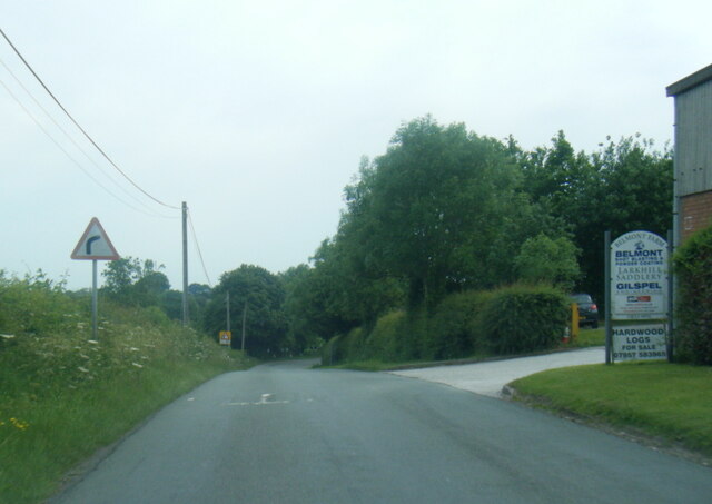
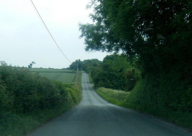
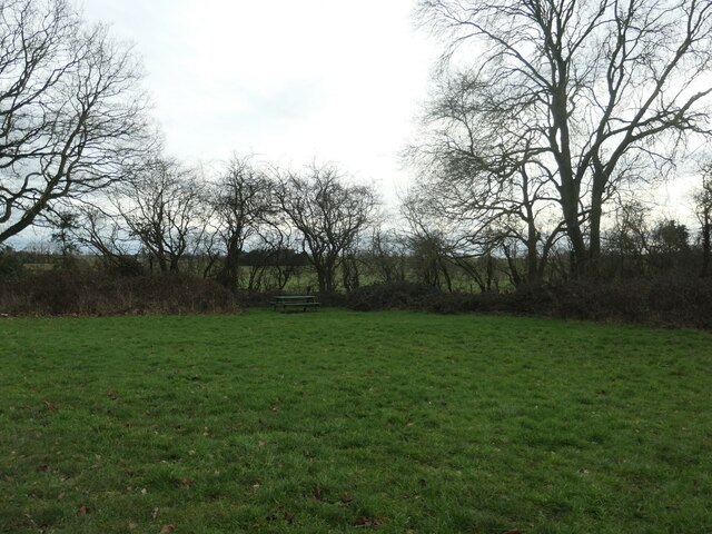
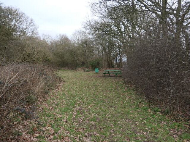
Capertition Wood Images
Images are sourced within 2km of 52.839667/-1.7307949 or Grid Reference SK1826. Thanks to Geograph Open Source API. All images are credited.


Capertition Wood is located at Grid Ref: SK1826 (Lat: 52.839667, Lng: -1.7307949)
Administrative County: Staffordshire
District: East Staffordshire
Police Authority: Staffordshire
What 3 Words
///feeds.blogs.mailboxes. Near Burton upon Trent, Staffordshire
Nearby Locations
Related Wikis
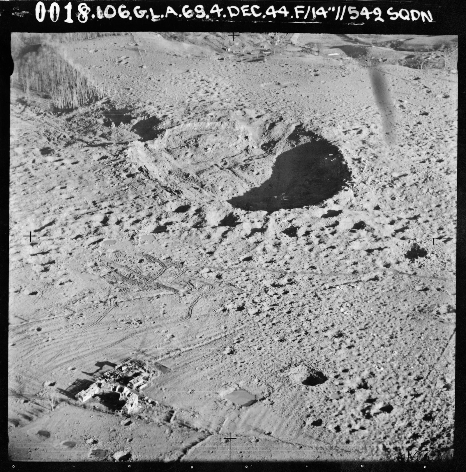
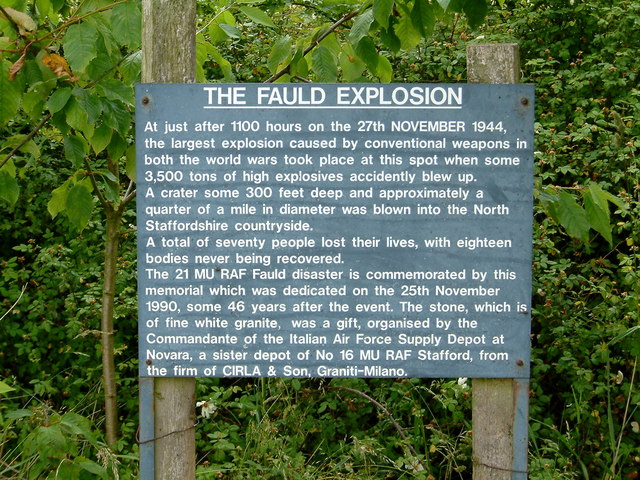
RAF Fauld explosion
The RAF Fauld explosion was a military accident which occurred at 11:11 am on Monday, 27 November 1944 at the RAF Fauld underground munitions storage depot...

Hanbury, Staffordshire
Hanbury is a rural village and civil parish 3.3 miles (5.3 km) west-north-west of Burton-on-Trent in Staffordshire, England. It is bounded to the north...

Anslow Gate
Anslow Gate is a village in Staffordshire, England, situated to the west of Anslow on the road to Hanbury. According to the 2001 census, the parish of...

Scropton Tramway
The Scropton Tramway was a British industrial 3 ft (914 mm) narrow gauge railway connecting several gypsum mines with the North Staffordshire Railway station...

Draycott in the Clay
Draycott in the Clay is a village and civil parish within the English county of Staffordshire. == Location == The village is located between Uttoxeter...
Scropton railway station
Scropton railway station was a short-lived railway station in Derbyshire, England. The railway line between Uttoxeter and Burton-on-Trent was opened by...
Anslow
Anslow is a village and civil parish in the East Staffordshire district of Staffordshire, England, about three miles [4.8 km] north-west of Burton upon...
Tutbury
Tutbury is a village and civil parish in Staffordshire, England. It is 4 miles (6.4 km) north of Burton upon Trent and 20 miles (32 km) south of the Peak...
Nearby Amenities
Located within 500m of 52.839667,-1.7307949Have you been to Capertition Wood?
Leave your review of Capertition Wood below (or comments, questions and feedback).