Brickkiln Plantation
Wood, Forest in Wiltshire
England
Brickkiln Plantation
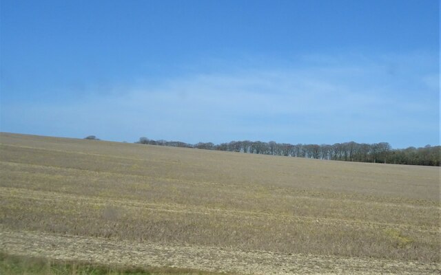
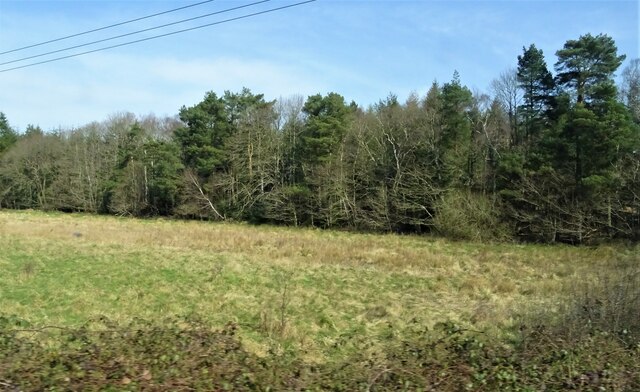
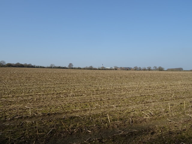
Brickkiln Plantation, located in Wiltshire, is a sprawling wood or forest area that offers a serene and picturesque experience to visitors. Covering a significant expanse, this plantation is a popular destination for nature enthusiasts, hikers, and those seeking tranquility away from the hustle and bustle of city life.
The plantation is characterized by its dense woodland, encompassing a variety of tree species such as oaks, beeches, and pines. The towering trees provide a sheltered habitat for numerous wildlife species, including birds, squirrels, deer, and rabbits, making it a haven for nature lovers.
Visitors can explore Brickkiln Plantation through a network of well-maintained trails that wind through the woods, offering breathtaking views and opportunities for peaceful walks or invigorating hikes. These trails are suitable for all levels of fitness and cater to both leisurely strolls and more adventurous treks.
The plantation is also home to a diverse range of flora, with wildflowers and ferns adding pops of color and texture to the landscape. During spring, the woods come alive with vibrant blooms, creating a captivating sight for visitors.
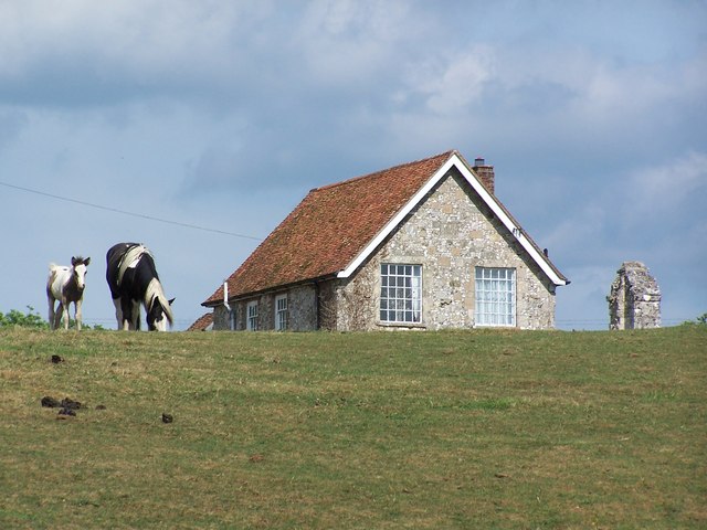
Brickkiln Plantation is easily accessible, with ample parking facilities and visitor amenities such as picnic areas and restrooms. It is open to the public throughout the year, allowing visitors to experience the changing seasons and immerse themselves in the beauty of nature.
Whether you are a nature enthusiast, a photographer, or simply seeking a peaceful retreat, Brickkiln Plantation in Wiltshire promises an enchanting experience amidst its verdant woodlands and diverse wildlife.
If you have any feedback on the listing, please let us know in the comments section below.
Brickkiln Plantation Images
Images are sourced within 2km of 51.04719/-1.7516911 or Grid Reference SU1727. Thanks to Geograph Open Source API. All images are credited.


Brickkiln Plantation is located at Grid Ref: SU1727 (Lat: 51.04719, Lng: -1.7516911)
Unitary Authority: Wiltshire
Police Authority: Wiltshire
What 3 Words
///share.fired.mount. Near Alderbury, Wiltshire
Nearby Locations
Related Wikis
Ivychurch Priory
Ivychurch Priory was a medieval monastic house in Alderbury, southeast of Salisbury, Wiltshire, England. According to Historic England, "all that remains...

Britford Water Meadows
Britford Water Meadows (grid reference SU166274) is a biological Site of Special Scientific Interest at Britford, south of Salisbury in Wiltshire. It has...

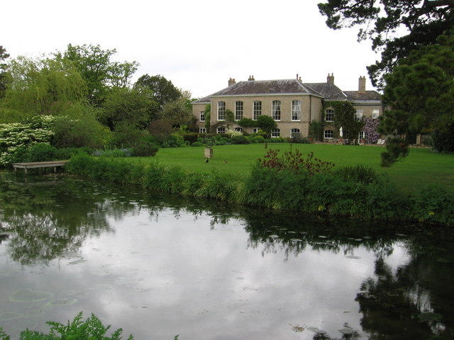
Longford Castle
Longford Castle is a Grade I listed country house on the banks of the River Avon south of Salisbury, Wiltshire, England. It is the seat of the Earl of...

Alderbury
Alderbury is a village and civil parish in Wiltshire, England, in the south of the county around 3 miles (5 km) southeast of Salisbury.The parish includes...
Moat House, Britford
Moat House, a Grade II listed building in Britford, Wiltshire, England, is a 17th-century building with 18th and 19th century remodelling, surrounded by...
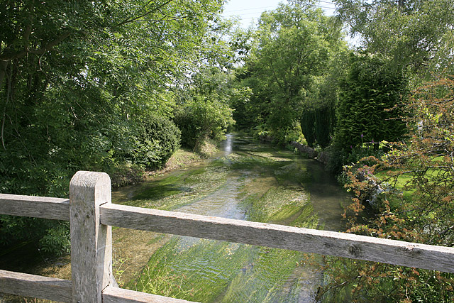
River Ebble
The River Ebble is one of the five rivers of the English city of Salisbury. Rising at Alvediston to the west of the city, it joins the River Avon at Bodenham...

Britford
Britford is a village and civil parish beside the River Avon about 1.5 miles (2.4 km) south-east of Salisbury in Wiltshire, England. The village is just...
Clarendon Park, Wiltshire
Clarendon Park is a Grade I listed building, estate and civil parish near Salisbury in Wiltshire, England. At the 2011 census the population of the parish...
Nearby Amenities
Located within 500m of 51.04719,-1.7516911Have you been to Brickkiln Plantation?
Leave your review of Brickkiln Plantation below (or comments, questions and feedback).