Andrew Plantation

Wood, Forest in Northumberland

England

Andrew Plantation

Black Callerton Hill Black Callerton Hill lies to the north of the settlement at Black Callerton. The grain crop which covered it has recently been harvested as it has from the field in the foreground.
Black Callerton Hill Credit: Trevor Littlewood

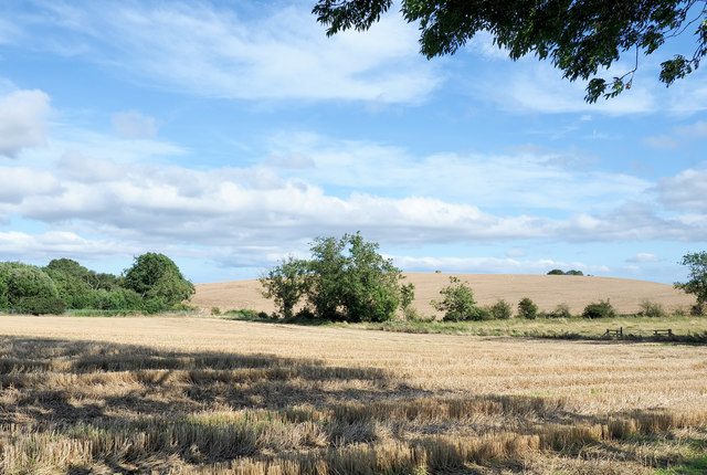
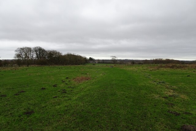
Andrew Plantation is a sprawling woodland area located in Northumberland, England. Covering an extensive area of approximately 500 hectares, it is a diverse and enchanting forest that offers a variety of natural wonders to explore.

The plantation is predominantly composed of native woodland species, including oak, beech, and ash trees. These majestic trees create a lush and dense canopy, providing shade and shelter for a wide array of wildlife. The forest floor is adorned with a rich carpet of ferns, wildflowers, and mosses, adding to the captivating atmosphere.

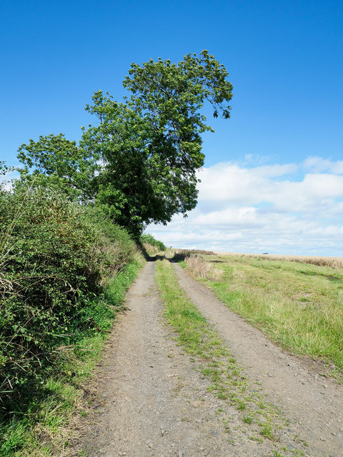
The plantation boasts several well-maintained walking trails, allowing visitors to immerse themselves in the tranquility of nature. These paths meander through the woodland, providing opportunities for hikers to observe the abundant wildlife that calls Andrew Plantation home. Birds such as woodpeckers, owls, and various songbirds can be spotted amidst the trees, while mammals like deer, foxes, and badgers roam the forest floor.

In addition to its natural beauty, Andrew Plantation offers recreational activities for visitors to enjoy. Picnic areas and designated camping spots are available, allowing families and outdoor enthusiasts to spend a day or even a weekend surrounded by the peaceful ambiance of the forest. The plantation also hosts educational programs and guided tours, providing a deeper understanding of the local ecosystem and the importance of preserving it.

Andrew Plantation is a true gem in Northumberland, offering a haven of serenity and natural splendor for all who venture into its depths.

If you have any feedback on the listing, please let us know in the comments section below.

Andrew Plantation Images

Images are sourced within 2km of 55.016503/-1.7313289 or Grid Reference NZ1769. Thanks to Geograph Open Source API. All images are credited.

Black Callerton Hill Black Callerton Hill lies to the north of the settlement at Black Callerton. The grain crop which covered it has recently been harvested as it has from the field in the foreground.
Black Callerton Hill
Black Callerton Hill lies to the north of the settlement at Black Callerton. The grain crop which covered it has recently been harvested as it has from the field in the foreground.
Barns at Hold House Farm Black-painted barns as seen from the farm's access road.
Barns at Hold House Farm
Black-painted barns as seen from the farm's access road.
Access road for Hold House Hold House is a farm lying south-east of Darras Hall; some of its buildings can be seen above the right hand field.
Access road for Hold House
Hold House is a farm lying south-east of Darras Hall; some of its buildings can be seen above the right hand field.
Farm road north of Low Luddick The road is also a bridleway.
Farm road north of Low Luddick
The road is also a bridleway.
Farm road on rising slope The slope rises towards the minor feature, Black Callerton Hill. There's a notice alongside the road as it leaves the minor public road at the camera position warning that the way should be kept clear for vehicle access; it's due to its proximity to Newcastle Airport.
Farm road on rising slope
The slope rises towards the minor feature, Black Callerton Hill. There's a notice alongside the road as it leaves the minor public road at the camera position warning that the way should be kept clear for vehicle access; it's due to its proximity to Newcastle Airport.
Crash gate W14 Situated along a bridleway near Newcastle Airport.
Crash gate W14
Situated along a bridleway near Newcastle Airport.
Airport approach lights The lights are for the runway at Newcastle Airport.
Airport approach lights
The lights are for the runway at Newcastle Airport.
Lights for runway 07 Approach lights for Newcastle Airport.
Lights for runway 07
Approach lights for Newcastle Airport.
Bridleway underneath the approach to Newcastle Airport The path leads towards Luddick House.
Bridleway underneath the approach to Newcastle Airport
The path leads towards Luddick House.
Bridleway crossing a field The path runs from Newcastle Airport to Luddick House.
Bridleway crossing a field
The path runs from Newcastle Airport to Luddick House.
Rollers near Luddick House The path runs from Newcastle Airport to Luddick House.
Rollers near Luddick House
The path runs from Newcastle Airport to Luddick House.
Bridleway approaching Luddick House The path runs from Newcastle Airport.
Bridleway approaching Luddick House
The path runs from Newcastle Airport.
Road near Luddick House Approaching the junction with the A696.
Road near Luddick House
Approaching the junction with the A696.
Field near Luddick House Looking across farmland near the A696 roundabout.
Field near Luddick House
Looking across farmland near the A696 roundabout.
A696 near Callerton Parkway Looking down on the A696 from the junction above.
A696 near Callerton Parkway
Looking down on the A696 from the junction above.
Luddick Cottages The 'High Luddick' of the 1940's OS map has mysteriously disappeared and only Low Luddick remains on the most recent map. These cottages are on the north side of the road, next to the footpath to Ponteland.
Luddick Cottages
The 'High Luddick' of the 1940's OS map has mysteriously disappeared and only Low Luddick remains on the most recent map. These cottages are on the north side of the road, next to the footpath to Ponteland.
The A696 east of Low Luddick Built in the early 90's this bypass made the journey to Newcastle Airport (just over the horizon on the right of the picture) a much quicker one.
The A696 east of Low Luddick
Built in the early 90's this bypass made the journey to Newcastle Airport (just over the horizon on the right of the picture) a much quicker one.
High Callerton
High Callerton
Show me another place!

Andrew Plantation is located at Grid Ref: NZ1769 (Lat: 55.016503, Lng: -1.7313289)

Unitary Authority: Newcastle upon Tyne

Police Authority: Northumbria

What 3 Words

///carbonate.embodied.motivate. Near Darras Hall, Northumberland

Related Wikis

Black Callerton

Black Callerton is a hamlet and former civil parish about 5 miles from Newcastle upon Tyne, now in the parish of Woolsington, in the Newcastle upon Tyne...

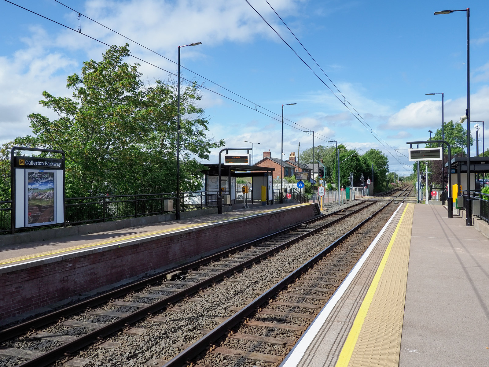
Callerton Parkway Metro station

Callerton Parkway is a Tyne and Wear Metro station, serving the hamlet of Black Callerton and suburb of Woolsington, Newcastle upon Tyne in Tyne and Wear...

Callerton railway station

Callerton was a railway station on the Ponteland Railway, which ran between South Gosforth and Ponteland, with a sub-branch line to Darras Hall. The station...
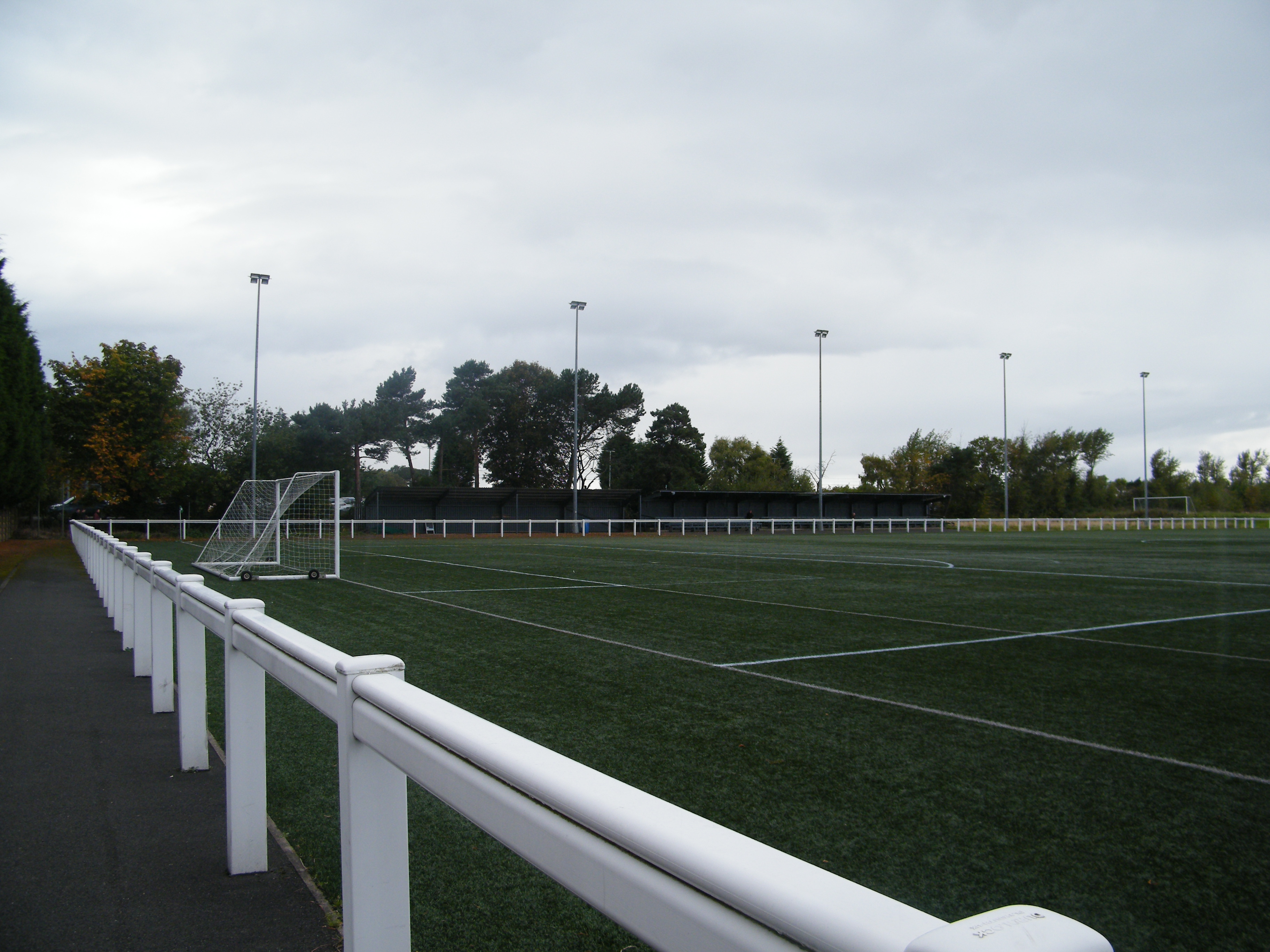
Druid Park

Druid Park (originally known as the Wheatsheaf Ground) is a multi-purpose stadium in Woolsington, north Newcastle upon Tyne in England. It is currently...

Walbottle Academy

Walbottle Academy, previously 'Walbottle Campus and Walbottle Campus Technology College', is a large secondary Academy in Newcastle upon Tyne, England...

Newcastle Airport Metro station

Airport (also known as Newcastle Airport) is a Tyne and Wear Metro station, serving Newcastle International Airport, Newcastle upon Tyne in Tyne and Wear...

Milecastle 10

Milecastle 10 (Walbottle Dene) was a milecastle of the Roman Hadrian's Wall. It is located near to the modern village of Throckley in Tyne and Wear, northern...

Denton, Newcastle upon Tyne

Denton is an electoral ward of Newcastle upon Tyne in North East England. The ward encompasses the Chapel House and West Denton housing areas. The population...

Nearby Amenities

Located within 500m of 55.016503,-1.7313289
Turning Circle
Lat/Long: 55.0152114/-1.7243462
Power: pole
Source: Bing
Lat/Long: 55.0145893/-1.7379829
Power: pole
Source: Bing
Lat/Long: 55.014574/-1.7365024
Power: pole
Source: Bing
Lat/Long: 55.0145693/-1.7350352
Power: pole
Source: Bing
Lat/Long: 55.0145647/-1.7336217
Power: pole
Source: Bing
Lat/Long: 55.0145355/-1.7322108
Power: pole
Source: Bing
Lat/Long: 55.0145217/-1.7307195
Power: pole
Source: Bing
Lat/Long: 55.0144925/-1.7295903
Power: pole
Source: Bing
Lat/Long: 55.014474/-1.7284852
Power: pole
Source: Bing
Lat/Long: 55.0143971/-1.7270958
Power: pole
Source: Bing
Lat/Long: 55.0143325/-1.7256662
Power: pole
Source: Bing
Lat/Long: 55.0143171/-1.7246872
Barrier: stile
Lat/Long: 55.0129569/-1.7335459
The data included in this document is from www.openstreetmap.org. The data is made available under ODbL.

Have you been to Andrew Plantation?

Leave your review of Andrew Plantation below (or comments, questions and feedback).