Black Callerton

Settlement in Northumberland

England

Black Callerton

Two trains at Newcastle Airport Metro station On the right the 1049 South Hylton to Newcastle Airport (2I12) service has just arrived.
Two trains at Newcastle Airport Metro station Credit: DS Pugh

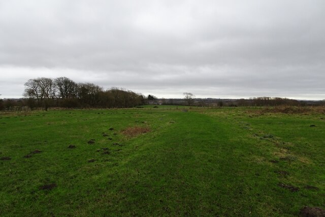
Black Callerton is a small village located in the county of Northumberland, England. Situated approximately 6 miles northwest of the city of Newcastle upon Tyne, it falls within the Newcastle upon Tyne postal district. The village is part of the civil parish of Callerton and is surrounded by beautiful countryside, offering residents and visitors a peaceful rural setting.

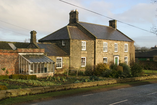
Black Callerton is predominantly a residential area, consisting of a mix of detached and semi-detached houses, along with some cottages. The village has a close-knit community, with a population of around 500 residents. Amenities in the village are limited, with no shops or pubs, but there are some local services available nearby.

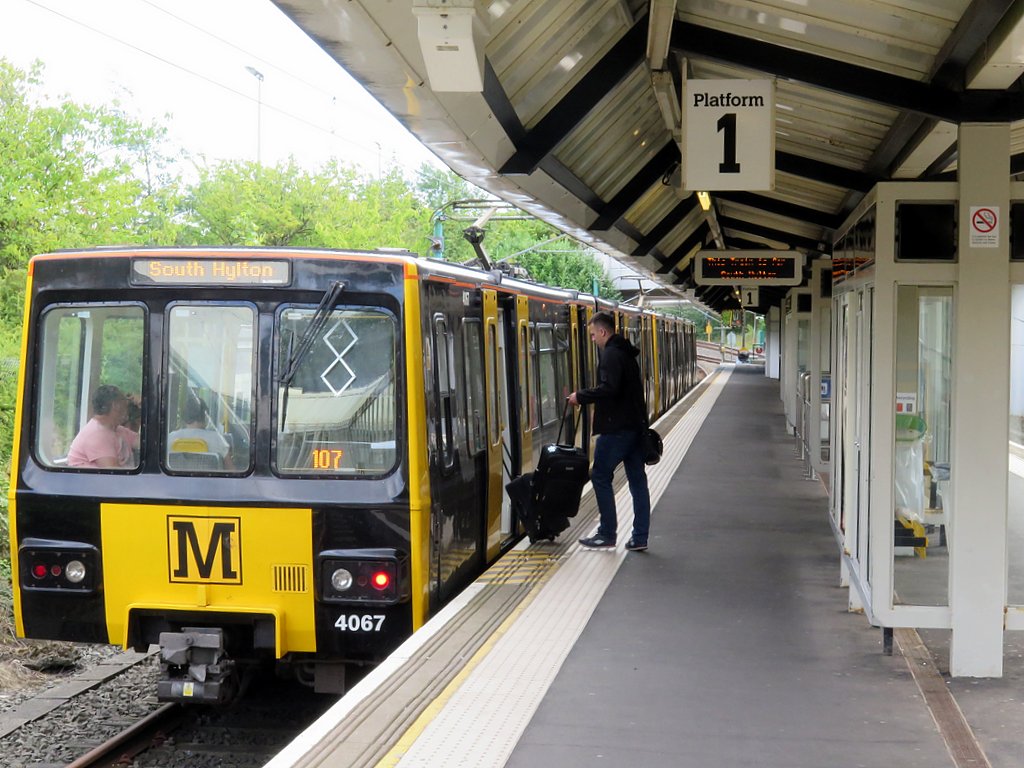
The village is well-connected in terms of transportation, with the A69 road passing through the area, providing easy access to Newcastle and other nearby towns. The nearest railway station is Newcastle Central, which offers regular services to various destinations across the country.

Surrounded by picturesque countryside, Black Callerton is a popular spot for outdoor enthusiasts. There are several walking and cycling routes nearby, offering opportunities to explore the scenic landscapes of the surrounding area. The village also benefits from its proximity to the renowned Northumberland National Park, which attracts visitors with its stunning natural beauty and diverse wildlife.

In conclusion, Black Callerton is a charming village in Northumberland, providing residents with a peaceful rural lifestyle. Its proximity to Newcastle and its beautiful surrounding countryside make it an attractive place to live or visit.

If you have any feedback on the listing, please let us know in the comments section below.

Black Callerton Images

Images are sourced within 2km of 55.022452/-1.725148 or Grid Reference NZ1769. Thanks to Geograph Open Source API. All images are credited.

Two trains at Newcastle Airport Metro station On the right the 1049 South Hylton to Newcastle Airport (2I12) service has just arrived.
Two trains at Newcastle Airport Metro station
On the right the 1049 South Hylton to Newcastle Airport (2I12) service has just arrived.
Front of Newcastle Airport The main terminal building and drop off area.
Front of Newcastle Airport
The main terminal building and drop off area.
Zebra crossing at Newcastle Airport Looking towards some of the hotels near the terminal building.
Zebra crossing at Newcastle Airport
Looking towards some of the hotels near the terminal building.
Bridleway and field entrance A bridleway near Newcastle Airport leading to Luddick House
Bridleway and field entrance
A bridleway near Newcastle Airport leading to Luddick House
Bridleway and communications tower The A696 is over the hedge on the right.
Bridleway and communications tower
The A696 is over the hedge on the right.
Marsh beside the bridleway Beside a path near Newcastle Airport.
Marsh beside the bridleway
Beside a path near Newcastle Airport.
Muddy bridleway near Newcastle Airport This path leads to Luddick House.
Muddy bridleway near Newcastle Airport
This path leads to Luddick House.
Field from a corner of a bridleway Looking into a muddy field from a bridleway near Newcastle Airport.
Field from a corner of a bridleway
Looking into a muddy field from a bridleway near Newcastle Airport.
Bridleway heading south A bridleway between Newcastle Airport and Luddick House.
Bridleway heading south
A bridleway between Newcastle Airport and Luddick House.
Bridleway towards Newcastle Airport In the distance is the airport with this path running from Luddick House.
Bridleway towards Newcastle Airport
In the distance is the airport with this path running from Luddick House.
Aircraft at Newcastle Airport Viewed from a bridleway heading from the airport towards Luddick House.
Aircraft at Newcastle Airport
Viewed from a bridleway heading from the airport towards Luddick House.
Crash gate W14 Situated along a bridleway near Newcastle Airport.
Crash gate W14
Situated along a bridleway near Newcastle Airport.
Airport approach lights The lights are for the runway at Newcastle Airport.
Airport approach lights
The lights are for the runway at Newcastle Airport.
Lights for runway 07 Approach lights for Newcastle Airport.
Lights for runway 07
Approach lights for Newcastle Airport.
Bridleway underneath the approach to Newcastle Airport The path leads towards Luddick House.
Bridleway underneath the approach to Newcastle Airport
The path leads towards Luddick House.
Bridleway crossing a field The path runs from Newcastle Airport to Luddick House.
Bridleway crossing a field
The path runs from Newcastle Airport to Luddick House.
Rollers near Luddick House The path runs from Newcastle Airport to Luddick House.
Rollers near Luddick House
The path runs from Newcastle Airport to Luddick House.
Bridleway approaching Luddick House The path runs from Newcastle Airport.
Bridleway approaching Luddick House
The path runs from Newcastle Airport.
Show me another place!

Black Callerton is located at Grid Ref: NZ1769 (Lat: 55.022452, Lng: -1.725148)

Unitary Authority: Newcastle upon Tyne

Police Authority: Northumbria

What 3 Words

///useful.waged.emeralds. Near Darras Hall, Northumberland

Related Wikis

Black Callerton

Black Callerton is a hamlet and former civil parish about 5 miles from Newcastle upon Tyne, now in the parish of Woolsington, in the Newcastle upon Tyne...

Callerton railway station

Callerton was a railway station on the Ponteland Railway, which ran between South Gosforth and Ponteland, with a sub-branch line to Darras Hall. The station...

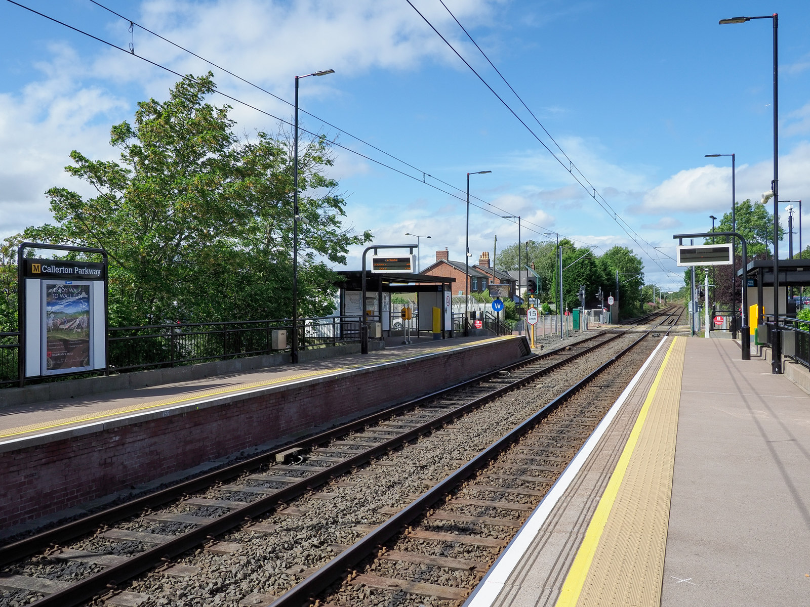
Callerton Parkway Metro station

Callerton Parkway is a Tyne and Wear Metro station, serving the hamlet of Black Callerton and suburb of Woolsington, Newcastle upon Tyne in Tyne and Wear...
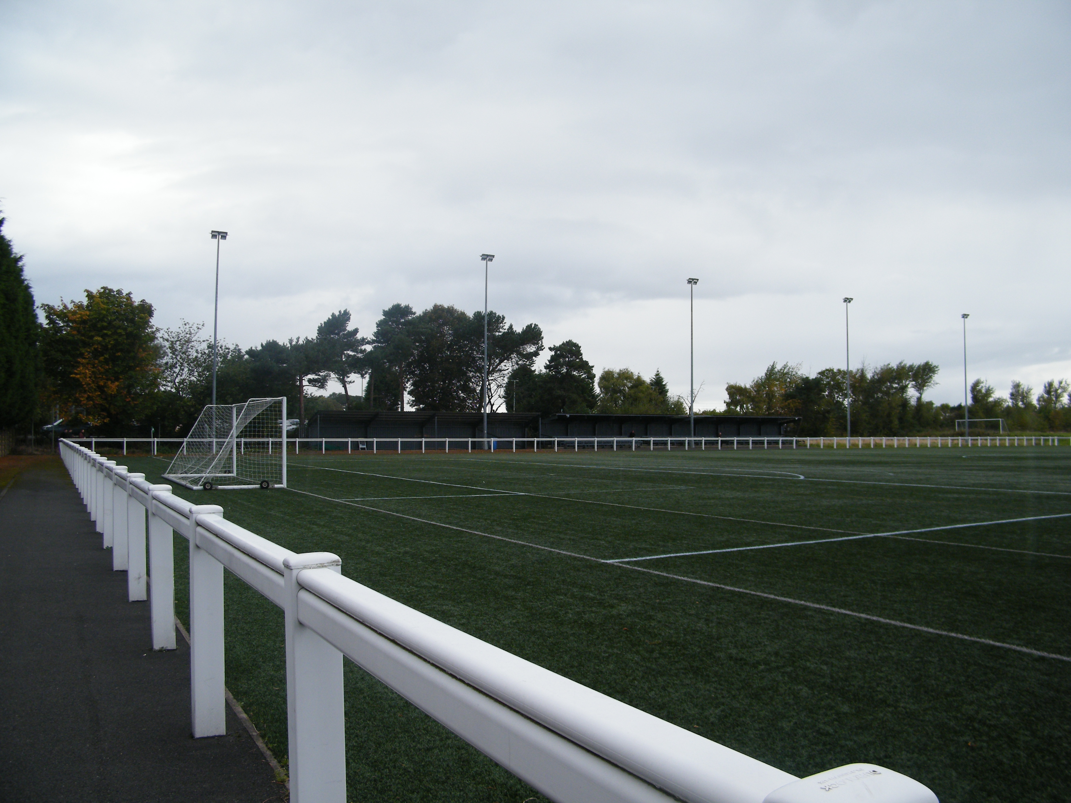
Druid Park

Druid Park (originally known as the Wheatsheaf Ground) is a multi-purpose stadium in Woolsington, north Newcastle upon Tyne in England. It is currently...

Newcastle Airport Metro station

Airport (also known as Newcastle Airport) is a Tyne and Wear Metro station, serving Newcastle International Airport, Newcastle upon Tyne in Tyne and Wear...

Woolsington

Woolsington is a village in, and civil parish of, Newcastle upon Tyne, England. It is located north-west of the city centre, covering a large geographical...

Woolsington Hall

Woolsington Hall is a Grade II* listed country house in a 92-acre (37 ha) estate, in the village of Woolsington, in the city of Newcastle, England, north...

Ponteland High School

Ponteland High School is a co-educational secondary school and sixth form located in Ponteland, Northumberland, England. It has had academy status since...

Nearby Amenities

Located within 500m of 55.022452,-1.725148
Power: pole
Lat/Long: 55.0247551/-1.7184135
Power: pole
Lat/Long: 55.0224072/-1.7181953
Power: pole
Lat/Long: 55.0204237/-1.718486
Power: pole
Lat/Long: 55.0211064/-1.7183787
Power: pole
Lat/Long: 55.021766/-1.7183036
Power: pole
Lat/Long: 55.0230684/-1.7180836
Power: pole
Lat/Long: 55.0239571/-1.718325
Power: pole
Lat/Long: 55.0235804/-1.7258486
Power: pole
Lat/Long: 55.0246874/-1.7238075
Power: pole
Lat/Long: 55.0252455/-1.7227399
Power: pole
Lat/Long: 55.0252824/-1.7213318
Power: pole
Lat/Long: 55.0252855/-1.7199907
Source: Bing
Lat/Long: 55.0235758/-1.7319506
The data included in this document is from www.openstreetmap.org. The data is made available under ODbL.

Have you been to Black Callerton?

Leave your review of Black Callerton below (or comments, questions and feedback).