Bales Plantation

Wood, Forest in Yorkshire Harrogate

England

Bales Plantation

Broadmires Farm
Broadmires Farm Credit: Peter Barr

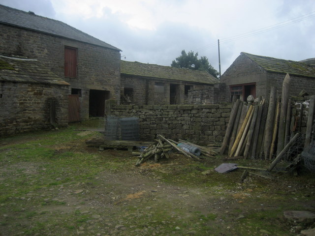
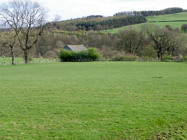
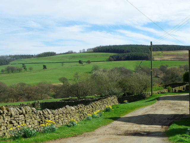
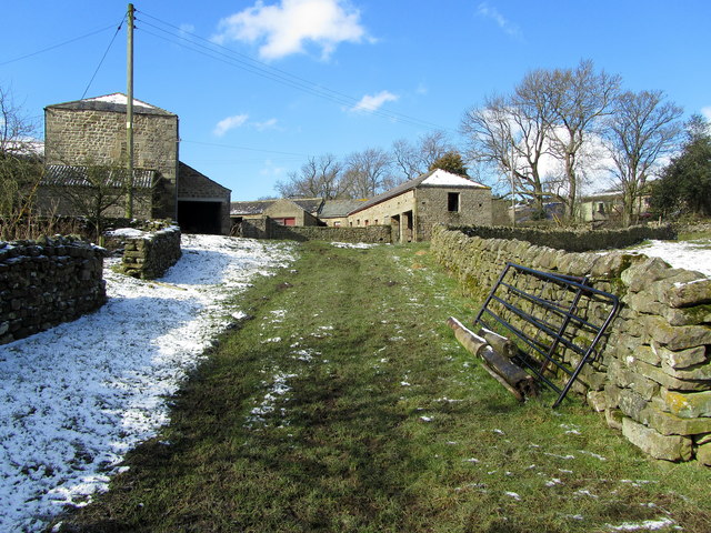
Bales Plantation, located in Yorkshire, is a picturesque woodland area known for its rich history and natural beauty. Spanning across a vast area, the plantation is characterized by its dense forests, towering trees, and serene atmosphere.

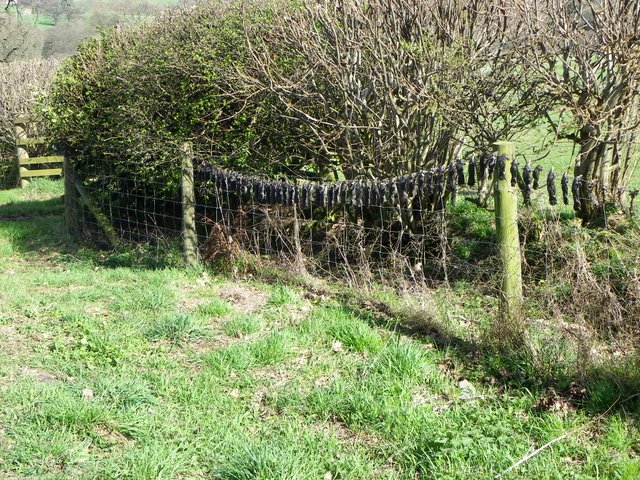
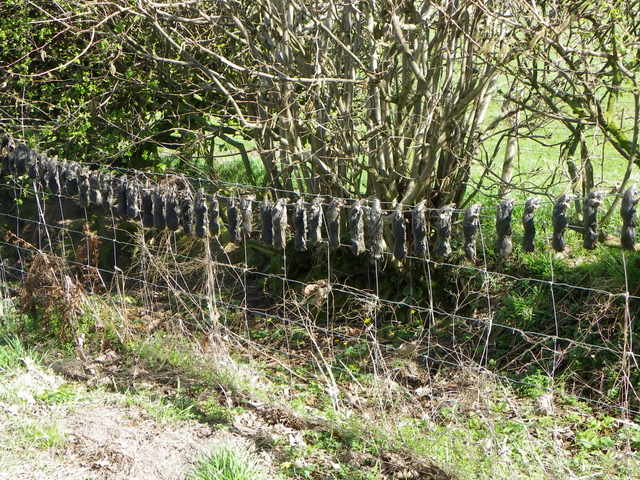
The plantation is home to a diverse range of flora and fauna, with an abundance of native plant species such as oak, birch, and beech trees. These trees provide a habitat for various wildlife, including birds, squirrels, and deer, making the area a popular spot for nature enthusiasts and wildlife photographers.

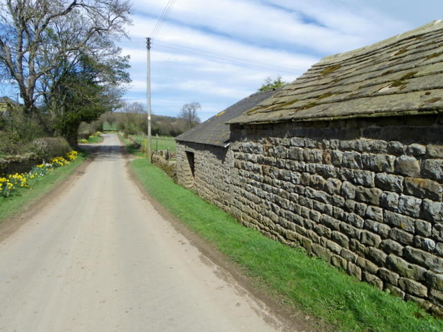
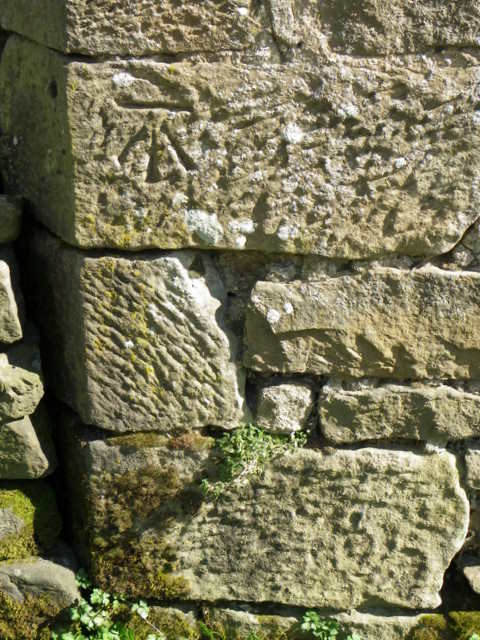
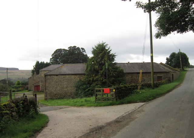
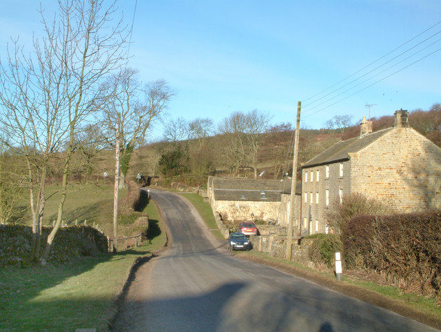
The historical significance of Bales Plantation is evident through the presence of ancient ruins and remnants of past civilizations. Ruins of an old stone cottage and the remains of a water mill can still be found within the plantation, serving as a reminder of the region's past.

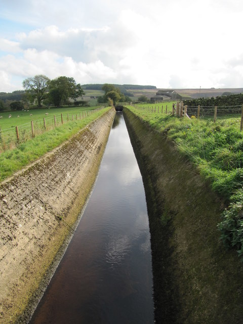
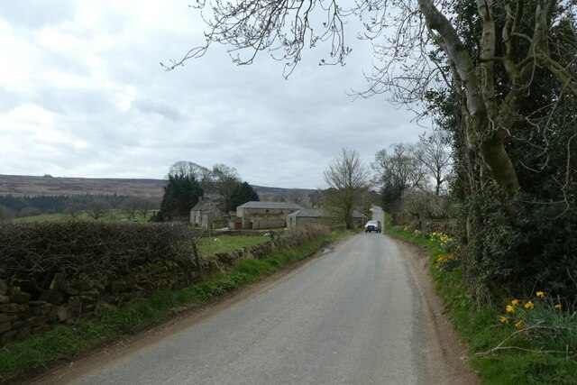
Visitors can explore the plantation through its well-maintained walking trails, which offer stunning views of the surrounding landscape. The trails wind through the forest, leading to hidden clearings and tranquil ponds, providing a peaceful retreat for those seeking solitude in nature.

Bales Plantation also offers various recreational activities for visitors to enjoy. Nature walks, birdwatching, and photography are popular pastimes, allowing visitors to appreciate the diverse wildlife and natural beauty of the area. Additionally, the plantation provides designated picnic areas, allowing families and friends to gather and enjoy a meal amidst the enchanting surroundings.

Overall, Bales Plantation is a captivating destination that offers a unique mix of natural beauty, historical significance, and recreational opportunities, making it a must-visit location for anyone seeking a tranquil escape in the heart of Yorkshire's woodlands.

If you have any feedback on the listing, please let us know in the comments section below.

Bales Plantation Images

Images are sourced within 2km of 54.228141/-1.7438162 or Grid Reference SE1681. Thanks to Geograph Open Source API. All images are credited.

Broadmires Farm
Broadmires Farm
Falafel and other goodies A colourful mobile caff parked at Broadmires Farm
Falafel and other goodies
A colourful mobile caff parked at Broadmires Farm
Leighton Hall Farm Showing the farmyard and ancillary buildings.
Leighton Hall Farm
Showing the farmyard and ancillary buildings.
Mole gibbet, Leighton Good to see bizarre medieval practices alive and well in Yorkshire.
Mole gibbet, Leighton
Good to see bizarre medieval practices alive and well in Yorkshire.
Mole gibbet, Leighton Molehills were very noticeable in many of the fields in this area of Yorkshire. This farmer is waging war against them and has exhibited the little black bodies on the fence. The moles are mainly killed using scissor traps or tunnel traps.
Mole gibbet, Leighton
Molehills were very noticeable in many of the fields in this area of Yorkshire. This farmer is waging war against them and has exhibited the little black bodies on the fence. The moles are mainly killed using scissor traps or tunnel traps.
Pasture near Leighton The fields in the area are mainly used for sheep grazing.
Pasture near Leighton
The fields in the area are mainly used for sheep grazing.
Drive, Leighton Hall Farm The driveway has a colourful display of daffodils along it.
Drive, Leighton Hall Farm
The driveway has a colourful display of daffodils along it.
Minor road, Leighton Hall Farm The minor road passes the farm buildings.  There is an Ordnance Survey bench mark on the building.
Minor road, Leighton Hall Farm
The minor road passes the farm buildings. There is an Ordnance Survey bench mark on the building.
Bench Mark, Leighton Hall The bench mark is on the north west angle of the farm building.  For a view of the building <a href="https://www.geograph.org.uk/photo/2551703">SE1679 : Minor road, Leighton Hall Farm</a> and for further information on the bench mark and others in the area <span class="nowrap"><a title="http://www.bench-marks.org.uk/bm39121" rel="nofollow ugc noopener" href="http://www.bench-marks.org.uk/bm39121">Link</a><img style="margin-left:2px;" alt="External link" title="External link - shift click to open in new window" src="https://s1.geograph.org.uk/img/external.png" width="10" height="10"/></span>
Bench Mark, Leighton Hall
The bench mark is on the north west angle of the farm building. For a view of the building SE1679 : Minor road, Leighton Hall Farm and for further information on the bench mark and others in the area LinkExternal link
Leighton Hall Farm
Leighton Hall Farm
Leighton Hall Farm Farming operation located in Leighton, above the valley created by Pott Beck
Leighton Hall Farm
Farming operation located in Leighton, above the valley created by Pott Beck
Road from Healey to Leighton Looking south-westward from near Leighton Bridge.
Road from Healey to Leighton
Looking south-westward from near Leighton Bridge.
Man made water channel Water channel, marked as "Catchwater" and "Drain" on maps, that possibly serves to take water from Spruce Gill Beck to Leighton Reservoir.
Man made water channel
Water channel, marked as "Catchwater" and "Drain" on maps, that possibly serves to take water from Spruce Gill Beck to Leighton Reservoir.
Road in Leighton Looking along the road between Lofthouse and Masham.
Road in Leighton
Looking along the road between Lofthouse and Masham.
Road near Leighton Looking along the road leading towards Masham.
Road near Leighton
Looking along the road leading towards Masham.
Field above Leighton Bridge Looking across a field beside the road to Masham.
Field above Leighton Bridge
Looking across a field beside the road to Masham.
The road to Masham at Leighton Leighton would struggle to be described as a hamlet as there are just a couple of farms either side of the road and a handful other dwellings within a mile of this location. Here, Leighton Grange farm is seen on the left of the picture.
The road to Masham at Leighton
Leighton would struggle to be described as a hamlet as there are just a couple of farms either side of the road and a handful other dwellings within a mile of this location. Here, Leighton Grange farm is seen on the left of the picture.
Healey. Picture shows the road leaving healey in the direction of Gollinglith Foot.
Healey.
Picture shows the road leaving healey in the direction of Gollinglith Foot.
Show me another place!

Bales Plantation is located at Grid Ref: SE1681 (Lat: 54.228141, Lng: -1.7438162)

Division: North Riding

Administrative County: North Yorkshire

District: Harrogate

Police Authority: North Yorkshire

What 3 Words

///venue.basically.superhero. Near Masham, North Yorkshire

Related Wikis

Gollinglith Foot

Gollinglith Foot (GOWN-li FOOT), historically also spelt Gownley Foot, is a hamlet in the civil parish of Healey in the Harrogate district of North Yorkshire...

Healey, North Yorkshire

Healey is a small village and civil parish in the Harrogate district of North Yorkshire, England. It is situated in the valley of the River Burn, to the...

Leighton, North Yorkshire

Leighton is a hamlet in the civil parish of Healey in the Harrogate district of North Yorkshire, England. It is near Leighton Reservoir that provides for...

Ellingstring

Ellingstring is a village and civil parish in Wensleydale in North Yorkshire, England, about 5 miles (8 km) south-east of Leyburn, and 3.5 miles (5.6 km...

Nearby Amenities

Located within 500m of 54.228141,-1.7438162
Power: pole
Lat/Long: 54.2318008/-1.7398246
Power: pole
Lat/Long: 54.2312268/-1.7386589
The data included in this document is from www.openstreetmap.org. The data is made available under ODbL.

Have you been to Bales Plantation?

Leave your review of Bales Plantation below (or comments, questions and feedback).