Ellingstring Plantation
Wood, Forest in Yorkshire Harrogate
England
Ellingstring Plantation
Ellingstring Plantation is a picturesque woodland located in the heart of Yorkshire, England. Covering an area of approximately 100 acres, this enchanting forest is a haven for nature enthusiasts and outdoor adventurers alike.
The plantation is primarily composed of a variety of deciduous and coniferous trees, creating a diverse and vibrant ecosystem. Tall and majestic oak trees tower over the landscape, while spruces and firs provide a lush green canopy, offering shelter to an array of woodland creatures.
The forest floor is adorned with a rich carpet of bluebells and wildflowers during the spring months, creating a breathtaking spectacle of colors and scents. Peaceful walking trails wind their way through the plantation, allowing visitors to immerse themselves in the tranquility of nature. These paths are well-maintained and cater to different levels of difficulty, making it accessible for people of all ages and abilities.
Numerous species of birds call Ellingstring Plantation their home, including woodpeckers, thrushes, and owls. The air is filled with their melodic songs, providing a soothing soundtrack to anyone exploring the woodland. Wildlife enthusiasts may also spot elusive woodland mammals such as badgers, foxes, and deer, adding to the magical atmosphere of the plantation.
Ellingstring Plantation is a popular destination for outdoor activities such as hiking, birdwatching, and photography. Its natural beauty and peaceful ambiance make it an ideal escape from the hustle and bustle of everyday life. Whether one seeks solitude or a family adventure, this enchanting woodland offers a truly memorable experience for all who visit.
If you have any feedback on the listing, please let us know in the comments section below.
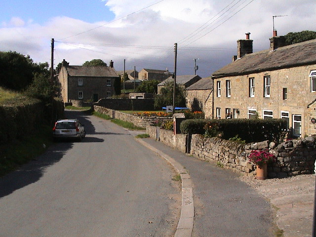
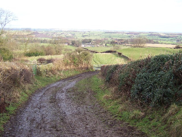
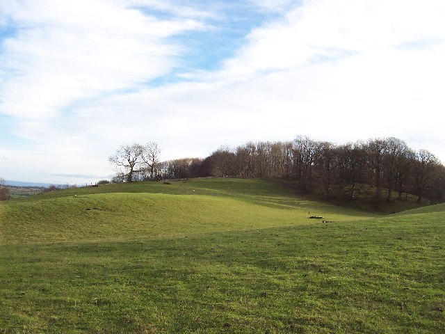
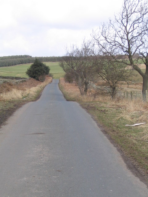
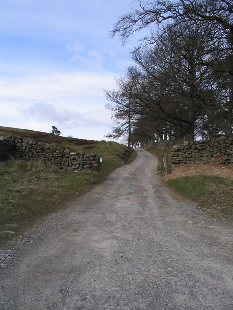
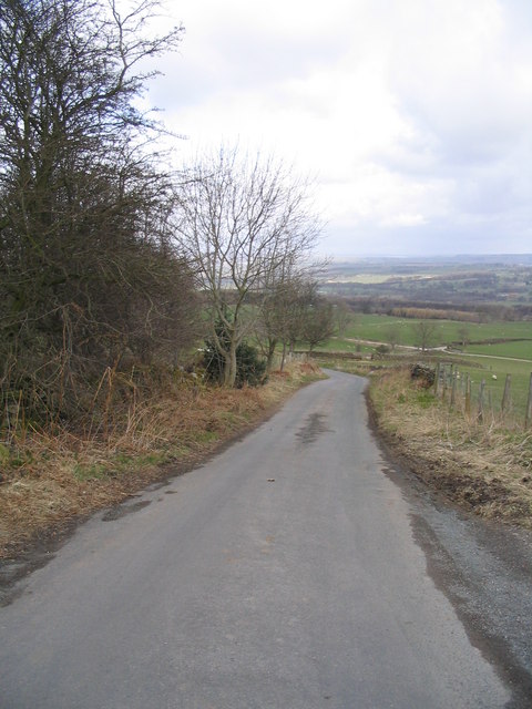
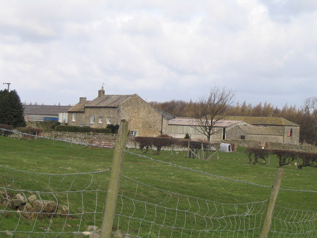
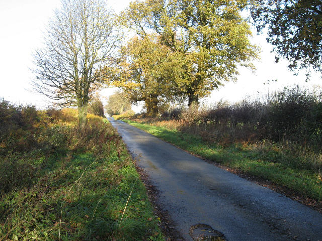
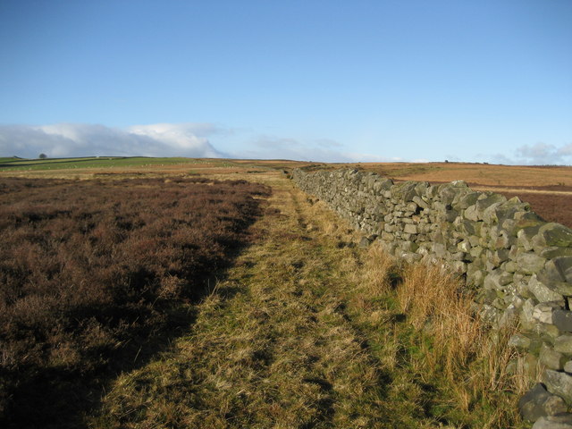
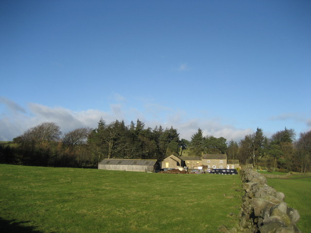
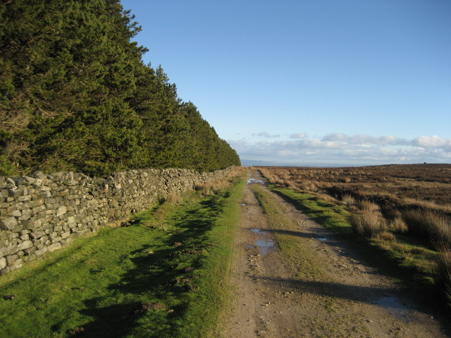
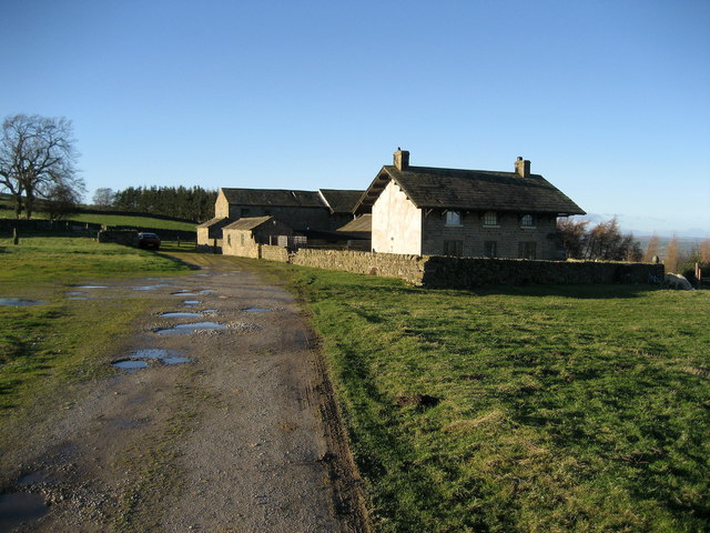
Ellingstring Plantation Images
Images are sourced within 2km of 54.243077/-1.7437698 or Grid Reference SE1683. Thanks to Geograph Open Source API. All images are credited.


Ellingstring Plantation is located at Grid Ref: SE1683 (Lat: 54.243077, Lng: -1.7437698)
Division: North Riding
Administrative County: North Yorkshire
District: Harrogate
Police Authority: North Yorkshire
What 3 Words
///sailing.ramble.producing. Near Masham, North Yorkshire
Nearby Locations
Related Wikis

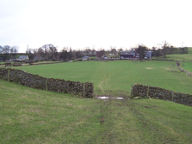
Ellingstring
Ellingstring is a village and civil parish in Wensleydale in North Yorkshire, England, about 5 miles (8 km) south-east of Leyburn, and 3.5 miles (5.6 km...

Gollinglith Foot
Gollinglith Foot (GOWN-li FOOT), historically also spelt Gownley Foot, is a hamlet in the civil parish of Healey in the Harrogate district of North Yorkshire...
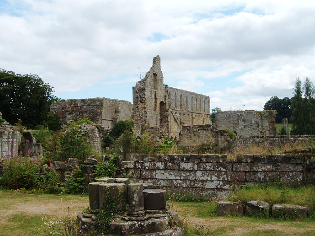
Jervaulx Abbey
Jervaulx Abbey in East Witton in North Yorkshire, 14 mi (23 km) north-west of the city of Ripon, was one of the great Cistercian abbeys of Yorkshire, England...

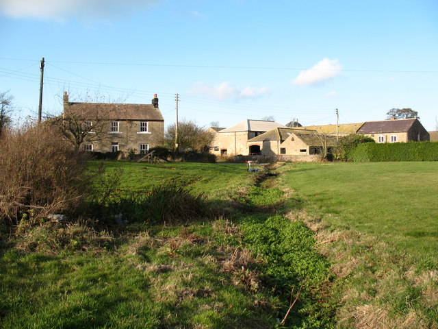
Healey, North Yorkshire
Healey is a small village and civil parish in the Harrogate district of North Yorkshire, England. It is situated in the valley of the River Burn, to the...
High Ellington
High Ellington is a village in lower Wensleydale in North Yorkshire, England, about 2.5 miles (4 km) north-west of Masham. The smaller village of Low...
Low Ellington
Low Ellington is a small village in lower Wensleydale in North Yorkshire, England about 2 miles (3.2 km) north-west of Masham. It is 0.5 miles (0.80 km...

Fearby
Fearby is a village and civil parish in North Yorkshire, England. It is located in the valley of the River Burn 2 miles (3 km) west of Masham. Nearby settlements...

Colsterdale Light Railway
The Colsterdale Light Railway (CLR) was a narrow-gauge railway line in Colsterdale, North Yorkshire, England. It was built between 1903 and 1905 to allow...
Nearby Amenities
Located within 500m of 54.243077,-1.7437698Have you been to Ellingstring Plantation?
Leave your review of Ellingstring Plantation below (or comments, questions and feedback).