Bales Hill

Hill, Mountain in Yorkshire Harrogate

England

Bales Hill

Mole gibbet, Leighton Good to see bizarre medieval practices alive and well in Yorkshire.
Mole gibbet, Leighton Credit: Maigheach-gheal

Bales Hill is a prominent hill located in the beautiful region of Yorkshire, England. Situated near the village of Bales, the hill offers stunning panoramic views of the surrounding countryside. With an elevation of approximately 1,500 feet, it is considered one of the highest points in the area, making it a popular destination for hikers and nature enthusiasts.

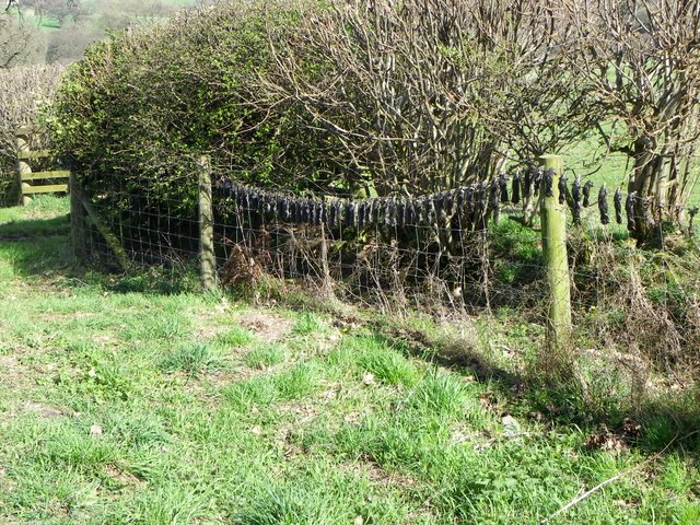
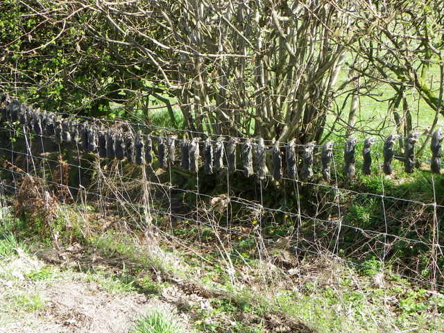
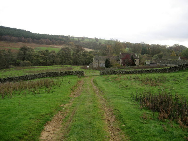
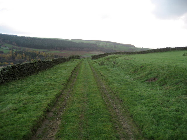
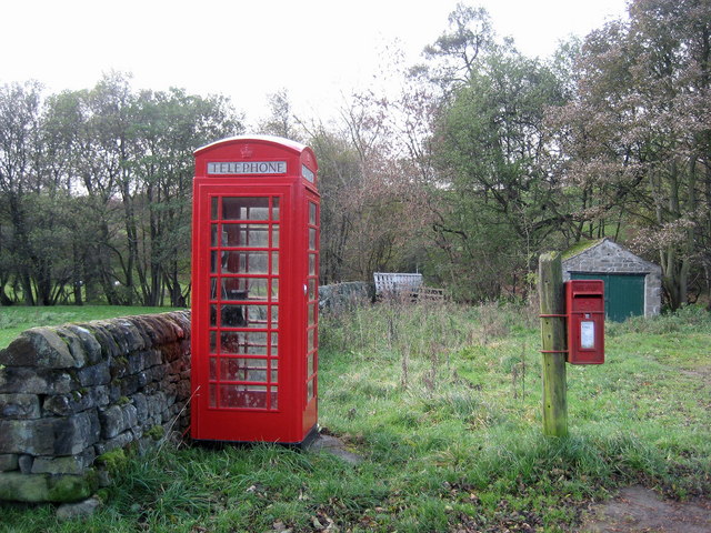
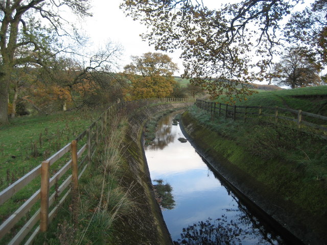
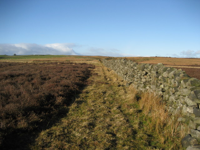
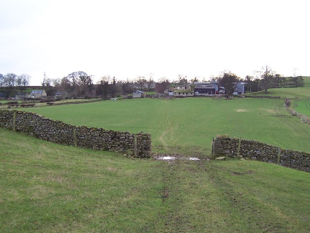
The hill is characterized by its gentle slopes and lush green vegetation. It is home to a diverse range of flora and fauna, including various species of wildflowers, birds, and small mammals. The landscape is dotted with charming stone walls that divide the fields, adding to the rustic charm of the area.

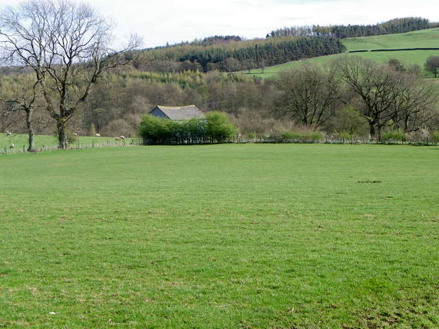
At the summit of Bales Hill, visitors are rewarded with breathtaking vistas that stretch as far as the eye can see. On a clear day, one can admire the rolling hills, expansive meadows, and picturesque villages that dot the Yorkshire countryside. The hill offers a peaceful and serene atmosphere, providing the perfect escape from the hustle and bustle of daily life.

For outdoor enthusiasts, Bales Hill presents an opportunity to engage in various recreational activities. Hiking trails crisscross the hill, catering to all skill levels. The hill is also a popular spot for paragliding, with its favorable wind conditions and open spaces.

Whether it is exploring the natural beauty, enjoying a leisurely walk, or simply reveling in the tranquility of the surroundings, Bales Hill offers a captivating experience for all who visit.

If you have any feedback on the listing, please let us know in the comments section below.
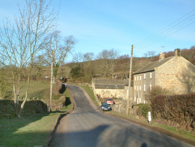
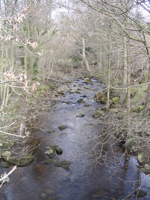
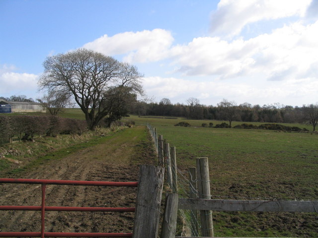
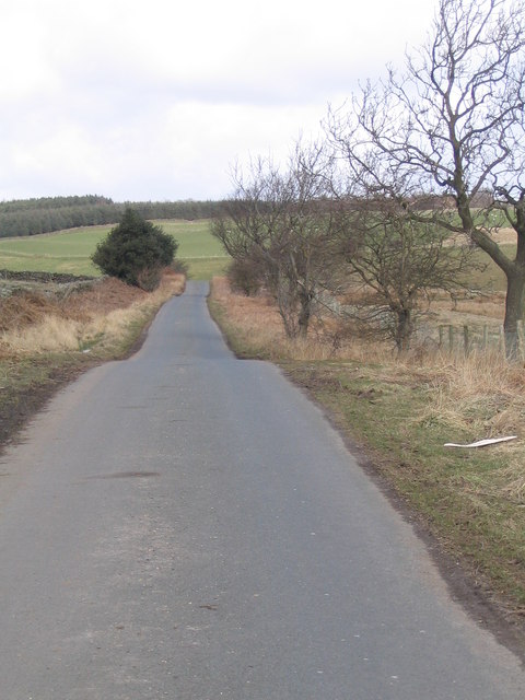
Bales Hill Images

Images are sourced within 2km of 54.229899/-1.7467199 or Grid Reference SE1681. Thanks to Geograph Open Source API. All images are credited.

Mole gibbet, Leighton Good to see bizarre medieval practices alive and well in Yorkshire.
Mole gibbet, Leighton
Good to see bizarre medieval practices alive and well in Yorkshire.
Mole gibbet, Leighton Molehills were very noticeable in many of the fields in this area of Yorkshire. This farmer is waging war against them and has exhibited the little black bodies on the fence. The moles are mainly killed using scissor traps or tunnel traps.
Mole gibbet, Leighton
Molehills were very noticeable in many of the fields in this area of Yorkshire. This farmer is waging war against them and has exhibited the little black bodies on the fence. The moles are mainly killed using scissor traps or tunnel traps.
Pasture near Leighton The fields in the area are mainly used for sheep grazing.
Pasture near Leighton
The fields in the area are mainly used for sheep grazing.
Road from Healey to Leighton Looking south-westward from near Leighton Bridge.
Road from Healey to Leighton
Looking south-westward from near Leighton Bridge.
Man made water channel Water channel, marked as "Catchwater" and "Drain" on maps, that possibly serves to take water from Spruce Gill Beck to Leighton Reservoir.
Man made water channel
Water channel, marked as "Catchwater" and "Drain" on maps, that possibly serves to take water from Spruce Gill Beck to Leighton Reservoir.
Road near Leighton Looking along the road leading towards Masham.
Road near Leighton
Looking along the road leading towards Masham.
Field above Leighton Bridge Looking across a field beside the road to Masham.
Field above Leighton Bridge
Looking across a field beside the road to Masham.
Healey. Picture shows the road leaving healey in the direction of Gollinglith Foot.
Healey.
Picture shows the road leaving healey in the direction of Gollinglith Foot.
River Burn Looking upstream from bridge
River Burn
Looking upstream from bridge
Farmland at Low Healy Cote Low Healy Cote Farm on left with Spring Wood in the distance
Farmland at Low Healy Cote
Low Healy Cote Farm on left with Spring Wood in the distance
Road from Healy to Ellingstring Looking downhill towards sharp right hand bend
Road from Healy to Ellingstring
Looking downhill towards sharp right hand bend
Pond near Ellingstring Small pond with its inhabitants!
Pond near Ellingstring
Small pond with its inhabitants!
Crossroads near Ellingstring Near to the village of Ellingstring which is on the edge of the Dales National Park.
Crossroads near Ellingstring
Near to the village of Ellingstring which is on the edge of the Dales National Park.
Gollinglith Foot from Coal Road Looking east towards a residence in the hamlet of Gollinglith Foot by the infant River Burn
Gollinglith Foot from Coal Road
Looking east towards a residence in the hamlet of Gollinglith Foot by the infant River Burn
Coal Road (East 1) Ancient track used for the transportation of coal off Colsterdale Moor
Coal Road (East 1)
Ancient track used for the transportation of coal off Colsterdale Moor
Gollinglith Foot Hamlet beside the River Burn, whose services include a letter box and telephone kiosk
Gollinglith Foot
Hamlet beside the River Burn, whose services include a letter box and telephone kiosk
Water Channel by Spout House Substantial water channel connected to Spruce Gill Beck, which seems out of place in such a remote area
Water Channel by Spout House
Substantial water channel connected to Spruce Gill Beck, which seems out of place in such a remote area
Wall over Tranmire Bog Dry stone enclosure wall heading north west over the rough ground of Tranmire Bog towards Witton Moor
Wall over Tranmire Bog
Dry stone enclosure wall heading north west over the rough ground of Tranmire Bog towards Witton Moor
Show me another place!

Bales Hill is located at Grid Ref: SE1681 (Lat: 54.229899, Lng: -1.7467199)

Division: North Riding

Administrative County: North Yorkshire

District: Harrogate

Police Authority: North Yorkshire

What 3 Words

///flirts.expired.brambles. Near Masham, North Yorkshire

Related Wikis

Gollinglith Foot

Gollinglith Foot (GOWN-li FOOT), historically also spelt Gownley Foot, is a hamlet in the civil parish of Healey in the Harrogate district of North Yorkshire...

Healey, North Yorkshire

Healey is a small village and civil parish in the Harrogate district of North Yorkshire, England. It is situated in the valley of the River Burn, to the...

Ellingstring

Ellingstring is a village and civil parish in Wensleydale in North Yorkshire, England, about 5 miles (8 km) south-east of Leyburn, and 3.5 miles (5.6 km...

Leighton, North Yorkshire

Leighton is a hamlet in the civil parish of Healey in the Harrogate district of North Yorkshire, England. It is near Leighton Reservoir that provides for...

Colsterdale Light Railway

The Colsterdale Light Railway (CLR) was a narrow-gauge railway line in Colsterdale, North Yorkshire, England. It was built between 1903 and 1905 to allow...

Leighton Reservoir

Leighton Reservoir is a reservoir which drains via the River Burn to the River Ure in North Yorkshire, England. It neighbours Roundhill Reservoir and is...

Fearby

Fearby is a village and civil parish in North Yorkshire, England. It is located in the valley of the River Burn 2 miles (3 km) west of Masham. Nearby settlements...

High Ellington

High Ellington is a village in lower Wensleydale in North Yorkshire, England, about 2.5 miles (4 km) north-west of Masham. The smaller village of Low...

Nearby Amenities

Located within 500m of 54.229899,-1.7467199
Power: pole
Lat/Long: 54.2341774/-1.744785
Power: pole
Lat/Long: 54.2336263/-1.7436372
Power: pole
Lat/Long: 54.2330295/-1.7423934
Power: pole
Lat/Long: 54.2324156/-1.7411269
Power: pole
Lat/Long: 54.2318008/-1.7398246
The data included in this document is from www.openstreetmap.org. The data is made available under ODbL.

Have you been to Bales Hill?

Leave your review of Bales Hill below (or comments, questions and feedback).